Old Maps of Cloverdale, California for Academic Research
Study the evolution of Cloverdale with 27 high-resolution historic maps. Whether you're teaching, researching, or modeling changes in land use, these maps provide essential visual documentation of urban, environmental, and geographic change.
- Analyze long-term change: Track patterns in development, transportation, and natural features.
- Ideal for environmental or urban studies: Support academic projects with primary historical map data.
- Use in the classroom or lab: Educators and researchers rely on these maps to bring historical context to life.
These maps are a powerful tool for teaching, research, and visualizing how Cloverdale has changed over the decades.
Cloverdale, CA maps
(27)- 1921 Map of Kelseyville
 1921 Kelseyville1921 Print · USGSNorthern California's thermal springs and mining districts are in full view in this early twentieth-century survey of Lake and Sonoma counties. Researchers can trace historic ranch boundaries like Moulton Ranch or locate vanished operations at the Cloverdale Quicksilver Mine and the Geyser Hotel.
 - 1938 Map of Hopland
 1938 Hopland1938 Print · USGSNorthern California’s Russian River valley is captured here in the 1920s, showing the early rail-and-road network between Hopland and Cloverdale. Trace old rail stops like Thorn Siding and historic locations such as Duncan Springs and Preston.
 - 1943 Map of Kelseyville, 1959 Print
 1943 Kelseyville1959 Print · USGSIn the early 1940s, this region of Lake and Sonoma counties was a mosaic of active ranching and mountain retreats. Researchers can trace family-named lands like Fifield Ranch, locate the Socrates Mine, or find the historic Geyser Resort and Mountain School.
 - 1943 Map of Hopland, 1960 Print
 1943 Hopland1960 Print · USGSMendocino County ranching and the Russian River valley are captured here in the early 1940s as the rail and road networks matured. Researchers can trace family-named lands like McDowell Ranch, the Nacomis Indian Rancheria, and the operations at Thorn Siding.
 - 1944 Map of Hopland
 1944 Hopland1944 Print · USGSThe Russian River valley in the 1940s was a landscape of remote ranches and rail sidings on the Mendocino-Sonoma border. Researchers can trace the Northwestern Pacific Railroad through Pieta, find the old McDonald School, or locate the Nacomis Indian Rancheria.
 - 1947 Map of Santa Rosa
 1947 Santa Rosa1947 Print · USGSNorthern California in the late 1940s was a landscape of agricultural valleys and vital rail hubs. Trace the historic routes of the Northwestern Pacific through Healdsburg or explore the mid-century waterfronts of Vallejo and Benicia near Mare Island.
 - 1949 Map of Santa Rosa
 1949 Santa Rosa1949 Print · USGSThe North Bay and Wine Country appear here in the late 1940s, when the Northwestern Pacific RR still dominated regional transit. Genealogists and historians can trace old coastal outposts like Anchor Bay Settlement and the early layout of Santa Rosa.2 unique versions available
 - 1958 Map of Santa Rosa, 1968 Print
 1958 Santa Rosa1968 Print · USGSThe North Bay and Wine Country are captured in the mid-twentieth century as the region balanced its agricultural roots with a growing military and recreational footprint. Researchers can trace the Northwestern Pacific RR through the Russian River valley or locate landmarks like the Petaluma Adobe Historical Monument and The Geysers Resort.3 unique versions available
 - 1959 Map of Asti
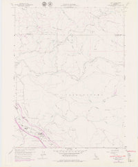 1959 Asti1959 Print · USGSThe Alexander Valley viticulture and Russian River transit corridor are captured here during the late fifties and seventies. Genealogists and historians can trace the local infrastructure of Asti, from the Washington Sch and winery to the Cloverdale Airfield.6 unique versions available
 - 1959 Map of Kelseyville, 1961 Print
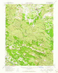 1959 Kelseyville1961 Print · USGSThe volcanic heights of the Mayacmas Mountains meet the geothermal steam fields of Lake County during the late fifties. Genealogists and local historians can locate early mining operations like the Culver-Bear Mine and Caldwell Mines or the remote community at Mercuryville.2 unique versions available
 - 1960 Map of Cloverdale, 1962 Print
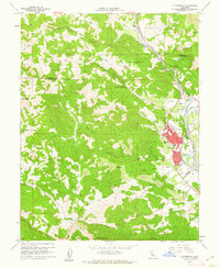 1960 Cloverdale1962 Print · USGSCloverdale and the Russian River valley are captured in the early sixties as the regional rail and road networks shaped northern Sonoma County. Genealogists and local historians can trace family-named sites like Porterfield, the Cloverdale Rancheria, and the Cemetery at Preston.4 unique versions available
 - 1960 Map of Hopland, 1962 Print
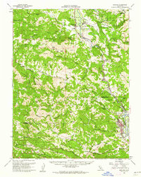 1960 Hopland1962 Print · USGSMendocino and Sonoma counties meet in this early 1960s survey of the Russian River valley as it transitions into the coastal range. Researchers can trace the rail-and-road corridor through Old Hopland, locate the Cloverdale Rancheria, and find historical sites like the Squaw Rock Slide Historical Marker.2 unique versions available
 - 1962 Map of Santa Rosa
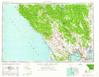 1962 Santa Rosa1962 Print · USGSThe North Bay and Wine Country were entering a period of significant growth in the early sixties, anchored by established rail corridors and coastal maritime commerce. Genealogists and historians can trace the development of Santa Rosa, locate the Mare Island Naval Shipyard, and follow the Northwestern Pacific RR through the Cotati Valley.
 - 1964 Map of Santa Rosa
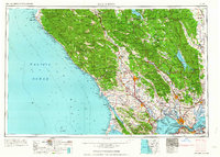 1964 Santa Rosa1964 Print · USGSThe North Bay and Wine Country appear in the mid-fifties during a period of significant military and educational growth. Trace old rail lines like the Northwestern Pacific RR and explore historic sites from Petaluma to the Benicia Arsenal.
 - 1972 Map of Healdsburg, 1975 Print
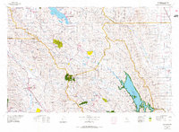 1972 Healdsburg1975 Print · USGSNorthern California wine country and the lower Lake County basins appear here during the early seventies. Trace the Northwestern Pacific rail line and discover foothill communities like Middletown and Loch Lomond.2 unique versions available
 - 1981 Map of Point Arena
 1981 Point Arena1981 Print · USGSThe Mendocino and Sonoma coastlines meet here in the early eighties, where the rift zone carves a path through the redwood country. Genealogists and researchers can trace the development of Point Arena and Guerneville or locate the newly formed Lake Sonoma behind the Warm Springs Dam.2 unique versions available
 - 1993 Map of Asti
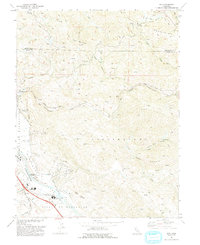 1993 Asti1993 Print · USGSThe Alexander Valley and Russian River wine country come into focus in the early nineties. Genealogists and historians can trace the Northwestern Pacific rail line through Asti or locate landmarks like Our Lady of Carmel Church.
 - 1998 Map of Asti, 2002 Print
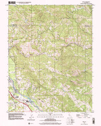 1998 Asti2002 Print · USGSThe Russian River valley and the Mayacmas Mountains meet in this Sonoma County survey from the late nineties. Genealogists and researchers can trace the vicinity of Asti, locate Our Lady of Carmel Church, or explore the steep drainages of Big Sulphur Creek.
 - 2012 Map of Asti, 2012 Print
 2012 Asti2012 Print · USGSThe Sonoma County wine country south of Pine Mountain is captured here during the early twenty-first century. Researchers can trace historic ranch boundaries and viticultural landmarks like the Italian Swiss Colony Winery, Asti, and the Covered Wagon Ranch.
 - 2012 Map of Cloverdale, 2012 Print
 2012 Cloverdale2012 Print · USGSCloverdale and the upper Russian River valley are captured here in the early twenty-first century, showcasing a landscape of vineyards and ranches. Researchers can locate the Cloverdale Rancheria, identify The Settlers Tree, and trace family names at the Cloverdale Cem or Pardini Ranch.
 - 2015 Map of Cloverdale, 2015 Print
 2015 Cloverdale2015 Print · USGSCloverdale and the Russian River valley are captured here during a period of modern growth and agricultural transition. Genealogists and local historians can trace the town's expanding footprint near Cloverdale Cemetery or find older settlements like Preston and Alderglen Springs.
 - 2015 Map of Asti, 2015 Print
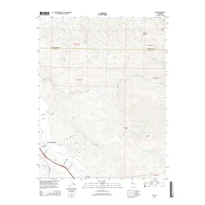 2015 Asti2015 Print · USGSCloverdale and the Alexander Valley landscape are captured here in the mid-2010s, showing the intersection of river-bottom agriculture and mountain terrain. Trace local landmarks like the Cloverdale Municipal Airport, Asti Post Office Rd, and the high reaches of Pine Mtn.
 - 2018 Map of Asti, 2018 Print
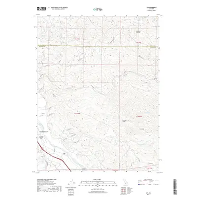 2018 Asti2018 Print · USGSThe northern Sonoma County wine country and the steep Mayacmas Mountains meet in this contemporary survey of the Cloverdale area. Researchers can trace rural landmarks from Asti and the Alexander Valley to high-elevation features like Pine Mtn and Devils Den Canyon.
 - 2018 Map of Cloverdale, 2018 Print
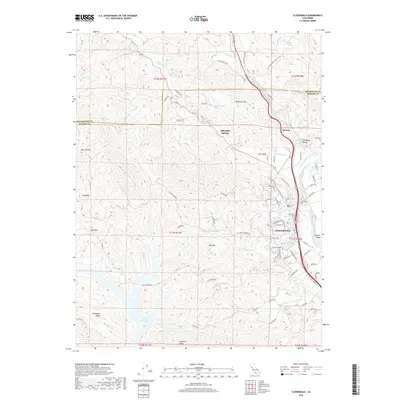 2018 Cloverdale2018 Print · USGSSonoma County's northern gateway at the edge of the Russian River valley comes into focus during this modern survey. Genealogists and local historians can trace the development of Cloverdale, identify family plots at the Cloverdale Cem, and locate the historic waters of Alderglen Springs.
 - 2021 Map of Cloverdale, 2021 Print
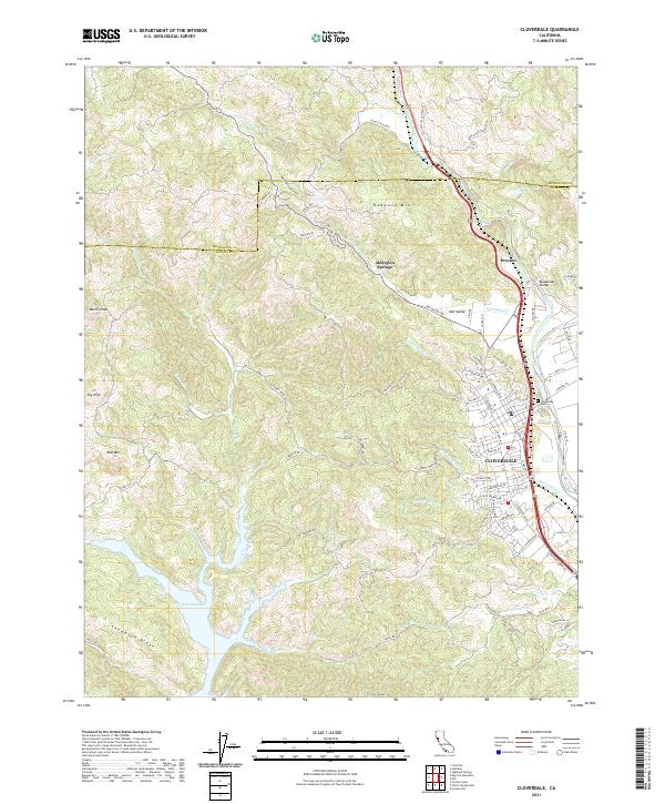 2021 Cloverdale2021 Print · USGSCloverdale and the surrounding Sonoma hills are shown in detail during this period of modern growth. Genealogists and historians can trace the developments along the Russian River, identify burials at Cloverdale Cem, and locate landmarks like Alderglen Springs or the heights of Red Mtn.
Showing maps 1-25 of 27
Top cities near Cloverdale
- Healdsburg historical maps
- Lakeport historical maps
- Kelseyville historical maps
- Geyserville historical maps
- Finley historical maps
- Finley historical maps
See more
Top neighborhoods of Cloverdale
- Solar Park historical maps
- Kings Valley historical maps
- Vista Oaks historical maps
- Cherry Creek historical maps
- Rancho De Amigos historical maps
- Clover Creek historical maps
See more
Frequently asked questions
- What are the different types of historical maps available for Cloverdale?
- What is the oldest map of Cloverdale?
- Where can I purchase historical maps of Cloverdale for my home or office?
- Where can I download high-res historical maps of Cloverdale?
- Are there historical topographic maps available for Cloverdale?
- Is there historical aerial imagery available for Cloverdale?
- Where are historical maps of Cloverdale sourced from?