2020s Maps of Stanislaus County, California
Explore 44 historic maps of Stanislaus County from the 2020s. These maps offer a rare glimpse into what life looked like during the 2020s — showing old roads, neighborhoods, homes, and landmarks that have changed or disappeared over time.
Whether you're researching your family's past, planning a metal detecting trip, or studying how Stanislaus County's landscape evolved across the 2020s, these high-resolution maps are a powerful tool for exploring the history of this region.
- Focus on a specific era: All maps on this page are from the 2020s, giving you a focused view of this time period.
- See what’s changed: Compare century-old streets, trails, and buildings to today's modern landscape using overlays and satellite layers.
- Research with precision: Use these maps for genealogy, historical research, land use analysis, or educational projects.
- View, download, or print: Maps are fully viewable online in high resolution, and can be downloaded or printed for your own records.
Start exploring Stanislaus County's history through authentic maps from the 2020s. This is your window into the past.
Stanislaus County, CA maps
(44)- 2021 Map of Howard Ranch, 2021 Print
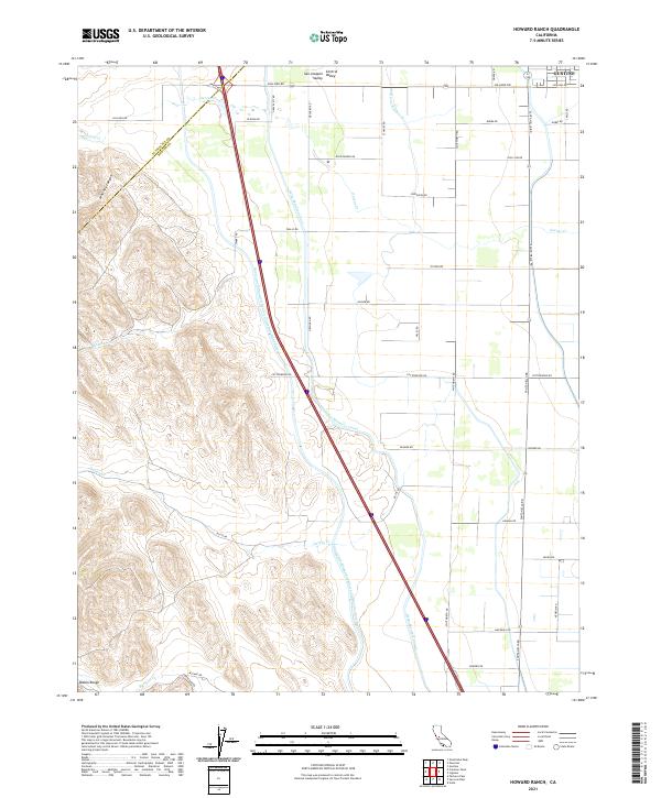 2021 Howard Ranch2021 Print · USGSThe western edge of the San Joaquin Valley in the 2020s shows a landscape transformed by water engineering and rural enterprise. Local researchers can trace the routes of the California Aqueduct and the Delta-Mendota Canal past landmarks like Whitney Canyon and Rose Garden Rd.
 - 2021 Map of Crevison Peak, 2021 Print
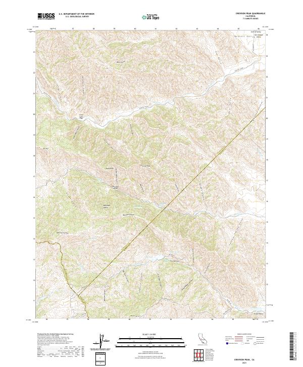 2021 Crevison Peak2021 Print · USGSThe high country of the Diablo Range is documented here as it appeared recently, showing the complex borderlands of three counties. Researchers can trace remote locales like Mountain Valley, China Cabin Flat, and the rugged peaks of Crevison Peak.
 - 2021 Map of Avena, 2021 Print
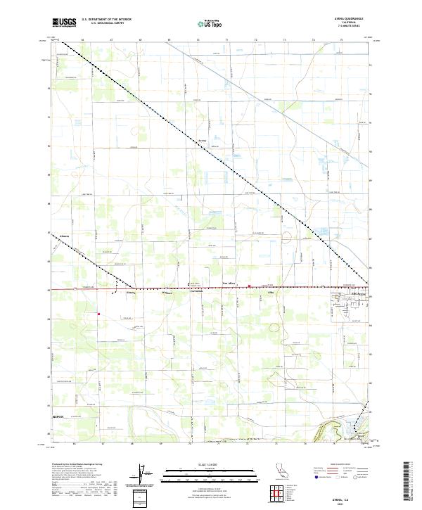 2021 Avena2021 Print · USGSAgricultural life in the San Joaquin Valley is meticulously mapped in this recent survey. Researchers can trace the grid of rural settlements like Van Allen, Avena, and Alba, or locate family sites near Saint John's Catholic Cem.
 - 2021 Map of Mustang Peak, 2021 Print
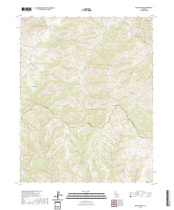 2021 Mustang Peak2021 Print · USGSThe Diablo Range foothills along the Stanislaus and Santa Clara county line are captured here in the early twenty-first century. Outdoor enthusiasts and researchers can trace the winding Blue Hill Grade and isolated landmarks like Mustang Peak and the Rooster Comb.
 - 2021 Map of Westley, 2021 Print
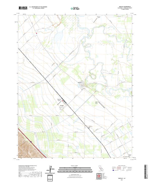 2021 Westley2021 Print · USGSThe San Joaquin Valley near Grayson is depicted here in the early 2020s, showing a landscape defined by intensive irrigation and river bends. Genealogists and researchers can locate the Grayson Cemetery and trace the paths of the Delta-Mendota Canal and San Joaquin River.
 - 2021 Map of Mount Stakes, 2021 Print
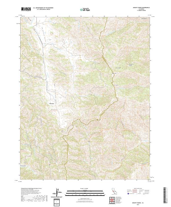 2021 Mount Stakes2021 Print · USGSThe Diablo Range comes into focus in the early 2020s, showing the high ridges of the Santa Clara and Stanislaus border. Trace the remote settlement of Ashrama or navigate the backcountry along Mount Stakes Trail and Lions Canyon.
 - 2021 Map of Vernalis, 2021 Print
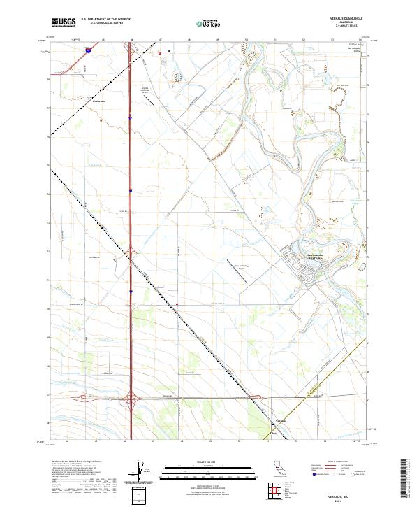 2021 Vernalis2021 Print · USGSThe San Joaquin Valley's intricate water network and small agricultural hubs are on display in this contemporary survey. Genealogists and historians can trace the paths of the California Aqueduct and locate the communities of Vernalis, Cochrane, and Ohm.
 - 2021 Map of Mount Boardman, 2021 Print
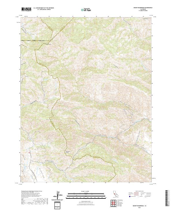 2021 Mount Boardman2021 Print · USGSThe high ridges of the Diablo Range come alive in this contemporary survey of the four-county junction. Researchers can trace the winding paths of Mines Rd, identify family landmarks in the San Antonio Valley, and locate remote features like Passionate Spring.
 - 2021 Map of Crows Landing, 2021 Print
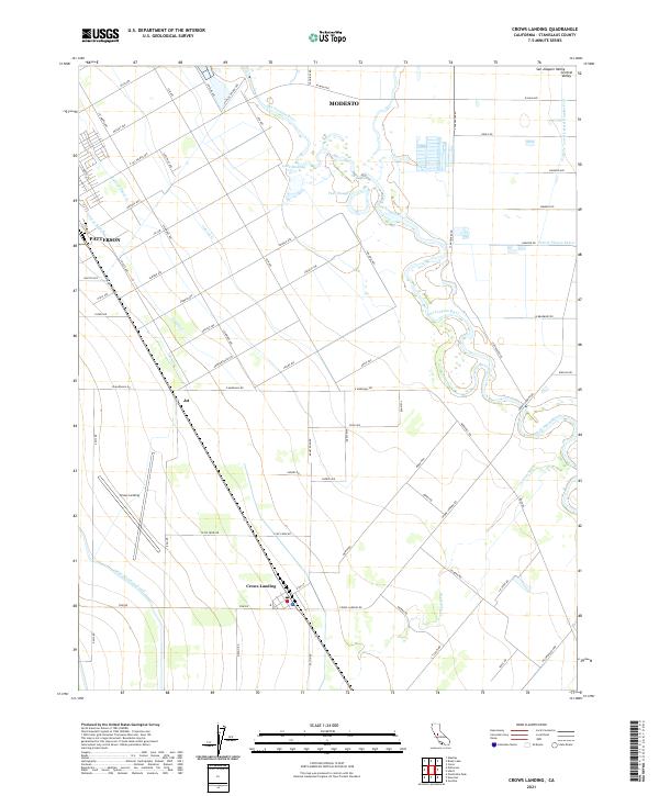 2021 Crows Landing2021 Print · USGSThe San Joaquin Valley near Patterson thrives through an intricate web of irrigation canals and the natural path of the San Joaquin River. Genealogists and researchers can trace the roads and waterways of Crows Landing and Jet, while following the Delta-Mendota Canal through this agricultural heartland.
 - 2021 Map of Orestimba Peak, 2021 Print
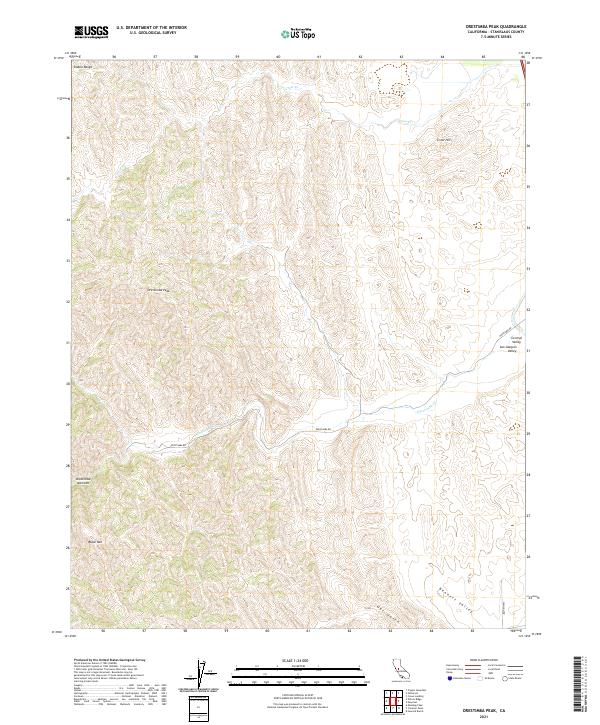 2021 Orestimba Peak2021 Print · USGSThe western Stanislaus foothills meet the valley floor in the 2020s, showing a landscape defined by ranching roads and ridgelines. Trace the terrain from Orestimba Peak down to Bennett Valley or follow the route of Orestimba Rd.
 - 2021 Map of Newman, 2021 Print
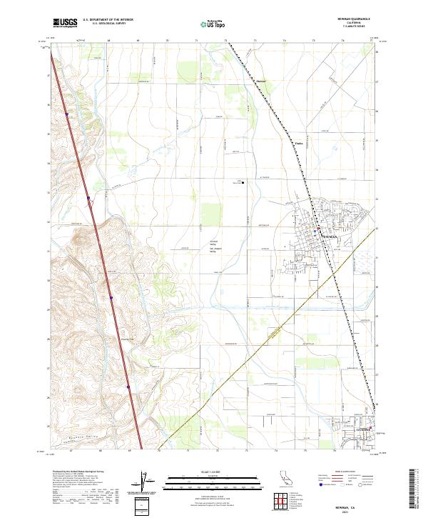 2021 Newman2021 Print · USGSNewman and the edge of Gustine are documented here during a period of modern agricultural expansion in the San Joaquin Valley. Researchers can trace historic sites like the Hills Ferry Cem and follow the paths of the Delta-Mendota Canal and Orestimba Cr.
 - 2021 Map of Wilcox Ridge, 2021 Print
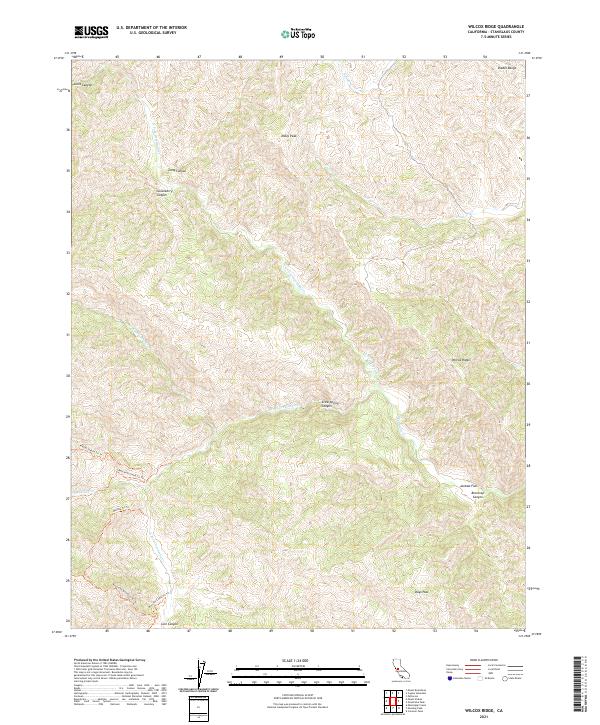 2021 Wilcox Ridge2021 Print · USGSThe Diablo Range in Stanislaus County appears here as a high-elevation wilderness in the early twenty-first century. Researchers can trace remote backcountry routes like Mount Stakes Trl Trl and find local landmarks such as Mikes Peak and Jackass Flat.
 - 2021 Map of Mississippi Creek, 2021 Print
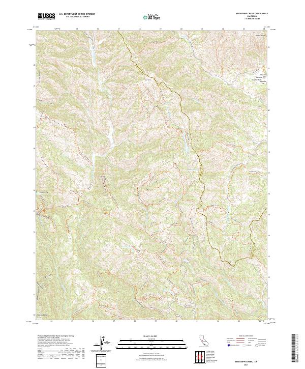 2021 Mississippi Creek2021 Print · USGSThe high canyons of the Diablo Range come into focus in this modern survey of the Santa Clara and Stanislaus county line. Researchers can trace the drainage of Mississippi Cr and locate high-country landmarks like Poverty Flat and Coit Lake.
 - 2021 Map of Brush Lake, 2021 Print
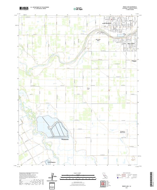 2021 Brush Lake2021 Print · USGSThe San Joaquin River corridor comes alive in this contemporary view of the Central Valley. Researchers can trace the boundaries of West Modesto and Bret Harte alongside local water features like Brush Lake and Richie Slough.
 - 2021 Map of Salida, 2021 Print
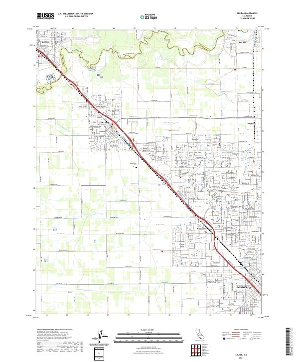 2021 Salida2021 Print · USGSNorthern Modesto and Salida are shown in detail during a period of significant growth at the start of the 2020s. Trace local landmarks like Woodcolony Cem, the Stanislaus River, and Modesto Junior College West Campus.
 - 2021 Map of Lone Tree Creek, 2021 Print
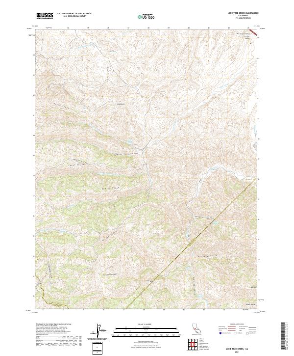 2021 Lone Tree Creek2021 Print · USGSThe northern Diablo Range transition into the Central Valley is captured here in the modern era. Researchers can trace critical water infrastructure like the Hetch Hetchy Aqueduct alongside natural landmarks such as Mt Oso and Lone Tree Mineral Spring.
 - 2021 Map of Copper Mountain, 2021 Print
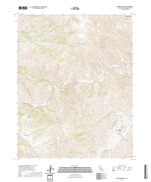 2021 Copper Mountain2021 Print · USGSThe Diablo Range foothills come into sharp focus here during a period of modern development and preserved wilderness. Researchers can trace the layout of Diablo Grande or locate natural landmarks like Copper Mtn, Salt Grass Springs, and the steep walls of Murderers Gulch.
 - 2021 Map of Patterson, 2021 Print
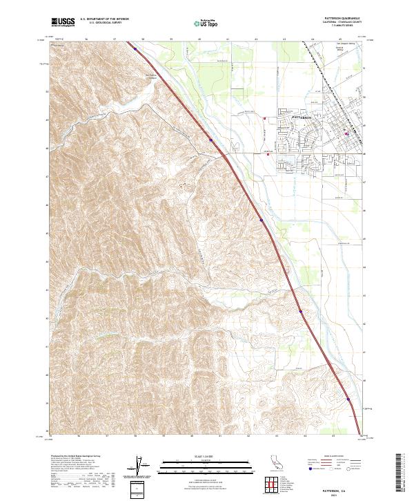 2021 Patterson2021 Print · USGSPatterson is shown in the early 2020s at the interface of the Central Valley floor and the rising Diablo Range. Researchers can trace the sophisticated irrigation network of the Delta-Mendota Canal and the winding course of Del Puerto Cr as they feed the surrounding farmland.
 - 2021 Map of Ripon, 2021 Print
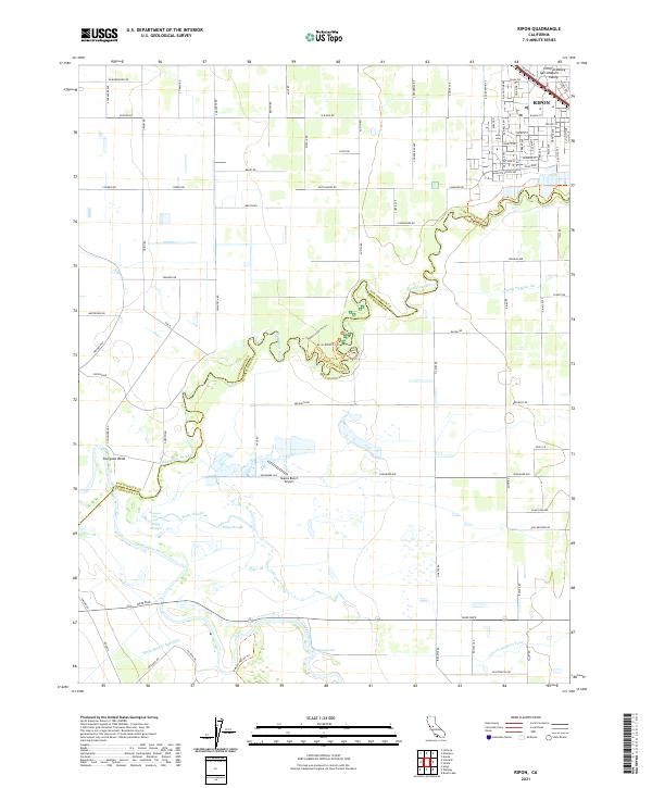 2021 Ripon2021 Print · USGSRipon and the fertile river lands of the northern San Joaquin Valley are shown in detail as they appeared in 2021. Researchers can trace the winding Stanislaus River past Sturgeon Bend, locate the Mapes Ranch Airport, and follow the critical path of the Hetch Hetchy Aqueduct.
 - 2021 Map of Solyo, 2021 Print
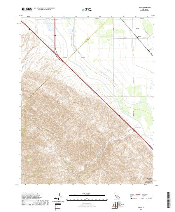 2021 Solyo2021 Print · USGSThe Diablo Range rises from the Central Valley floor at the turn of the 21st century. Trace the path of massive water projects like the Hetch Hetchy Aqueduct and Delta-Mendota Canal as they skirt the base of Mt Oso.
 - 2021 Map of Copperopolis, 2021 Print
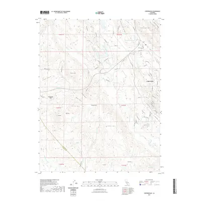 2021 Copperopolis2021 Print · USGSThe foothills of Calaveras County come alive in this contemporary map of a legendary mining and ranching district. Researchers can trace the layout of Telegraph City and Copperopolis, or find local landmarks like Copperopolis Cem and Boucher Mtn.
 - 2021 Map of Denair, 2021 Print
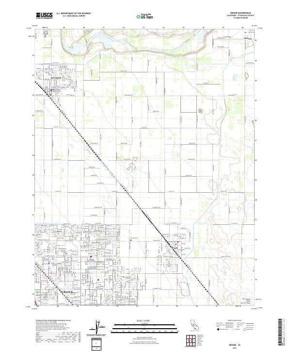 2021 Denair2021 Print · USGSThe northern San Joaquin Valley in the twenty-first century reveals a landscape shaped by massive irrigation works and historic rail towns. Genealogists and local historians can trace the foundations of Hughson and Denair or locate family plots at the Denair Cem.
 - 2021 Map of Keystone, 2021 Print
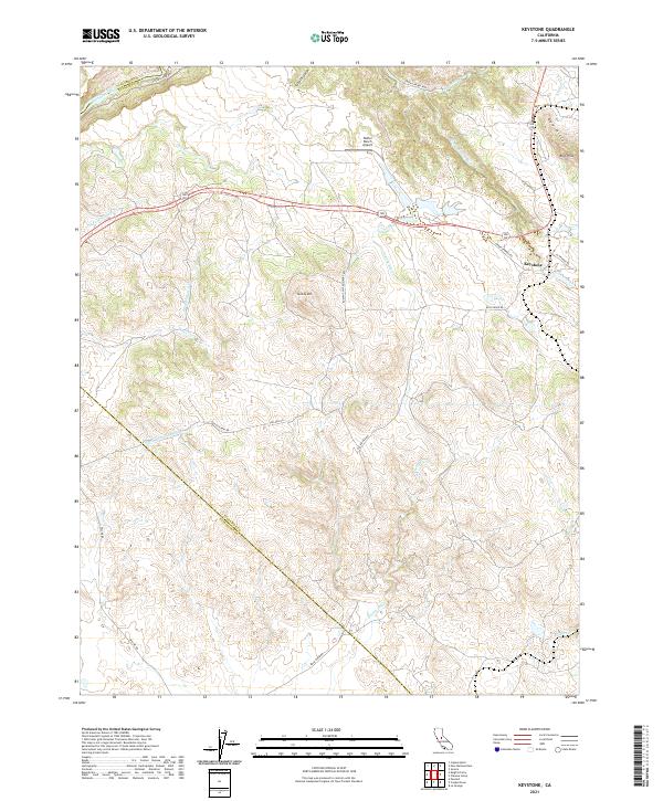 2021 Keystone2021 Print · USGSTuolumne County ranch lands and foothills are captured here in the early twenty-first century, showing the intersection of historic transit and modern infrastructure. You can trace the path of the Hetch Hetchy Aqueduct, find the Kistler Ranch Airport, and locate the settlement of Keystone.
 - 2021 Map of Paulsell, 2021 Print
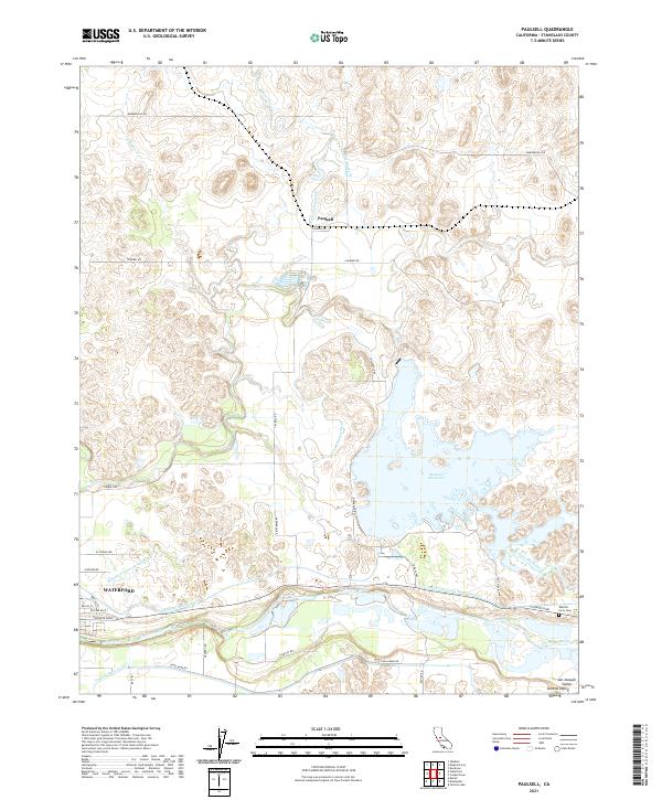 2021 Paulsell2021 Print · USGSThe agricultural heart of the Stanislaus County valley comes to life in this detailed recent survey. Genealogists and local historians can trace the irrigation networks and rural homesteads surrounding Waterford, Paulsell, and the Roberts Ferry Cem.
 - 2021 Map of Turlock Lake, 2021 Print
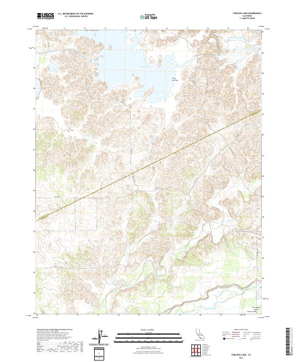 2021 Turlock Lake2021 Print · USGSThe borderlands of Stanislaus and Merced counties appear here in the early 2020s, defined by large-scale water management and rural valley terrain. Researchers can trace the path of the Turlock Main Canal or locate local landmarks like Three Tree Flat and Ingalsbe Slough.
Showing maps 1-25 of 44
Top cities of Stanislaus County
- Modesto historical maps
- Turlock historical maps
- Ceres historical maps
- Riverbank historical maps
- Patterson historical maps
- Oakdale historical maps
See more
Frequently asked questions
- What are the different types of historical maps available for Stanislaus County?
- What is the oldest map of Stanislaus County?
- Where can I purchase historical maps of Stanislaus County for my home or office?
- Where can I download high-res historical maps of Stanislaus County?
- Are there historical topographic maps available for Stanislaus County?
- Is there historical aerial imagery available for Stanislaus County?
- Where are historical maps of Stanislaus County sourced from?