Old Maps of Chinese Camp, California for Metal Detecting
Plan your next treasure hunt with 16 historic maps of Chinese Camp. Find old homesites, ghost towns, trails, and gathering spots that may be lost to time — perfect for identifying promising metal detecting locations.
- Locate forgotten sites: Uncover places like long-lost settlements, abandoned rail lines, or gathering spots.
- Plan better hunts: Use map overlays combined with LiDAR or satellite views to narrow in on historically rich areas.
- Made for detectorists: Thousands of hobbyists use these maps to discover relics, coins, and hidden history.
Use these historic maps to boost your research and find new opportunities beneath the surface of Chinese Camp.
Chinese Camp, CA maps
(16)- 1893 Map of Sonora
 1893 Sonora1893 Print · USGSThe Mother Lode region comes alive in the early 1890s, showing a landscape defined by mining camps and early river crossings before the big dams. Genealogists and historians can trace old settlements like Chinese Camp and Big Oak Flat, or locate industrial sites like the Olsen Mine and Hobron Mill.
 - 1896 Map of Sonora
 1896 Sonora1896 Print · USGSThe Mother Lode gold country is shown in the late nineteenth century as mining towns and river crossings defined the Sierra Nevada foothills. Genealogists and researchers can trace early routes through Chinese Camp and Coulterville, or locate industrial sites like the Red Cloud Mine and Benton Mill.
 - 1897 Map of Sonora
 1897 Sonora1897 Print · USGSThe Mother Lode region at the close of the nineteenth century is revealed here through its gold-country towns and rugged mining infrastructure. Trace the early footprints of Sonora, Coulterville, and Hornitos alongside sites like the Red Cloud Mine and Ward Ferry.8 unique versions available
 - 1898 Map of Sonora, 1932 Print
 1898 Sonora1932 Print · USGSThe Mother Lode region at the close of the nineteenth century reveals a complex world of river dams and mining camps. Genealogists can trace family names at Chinese Camp or Soulsbyville and locate early industry at the Red Cloud Mine and Bandarita Mine.
 - 1947 Map of San Jose, 1948 Print
 1947 San Jose1948 Print · USGSNorthern California's heartland is captured here just after the war, showing the rapid growth of the Santa Clara and Central Valleys. Researchers can trace the legacy of rail and water at Castle Air Force Base, Stockton, and the Hetch Hetchy Aqueduct.
 - 1947 Map of Chinese Camp, 1959 Print
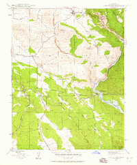 1947 Chinese Camp1959 Print · USGSTuolumne County gold country and industrial water works are captured here in the late 1940s. Genealogists and historians can trace mining claims like the Eagle-Shawmut Mine and vanished rail stops at Hetch Hetchy Junc and Crimea House.4 unique versions available
 - 1948 Map of Chinese Camp
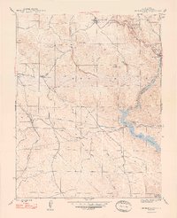 1948 Chinese Camp1948 Print · USGSThe Mother Lode gold country of Tuolumne County is captured here in the late 1940s, highlighting a landscape defined by deep-rock mining and major water projects. Researchers can trace historic operations at the Eagle-Shawmut Mine or locate early settlements like Chinese Camp and Jacksonville.2 unique versions available
 - 1948 Map of Sonora, 1962 Print
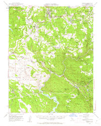 1948 Sonora1962 Print · USGSTuolumne County's Mother Lode country comes alive in this post-war survey of the Sierra Foothills. Researchers can trace the path of the Sierra RR, locate the Harvard Mine, and explore historic communities from Chinese Camp to Soulsbyville.2 unique versions available
 - 1956 Map of San Jose
 1956 San Jose1956 Print · USGSCentral California in the mid-fifties reveals the transition from sprawling orchards to growing urban hubs like San Jose and Stockton. Genealogists and historians can trace the rail-era landscape of the Mother Lode through Chinese Camp and Tuttletown, or follow the water through the Joaquin River and Calaveras Reservoir.
 - 1962 Map of San Jose
 1962 San Jose1962 Print · USGSCentral California in the early sixties showcases the expansion of the San Joaquin and Santa Clara valleys. Researchers can trace the rail-to-road transition along the Southern Pacific RR or locate landmarks like Castle USAF Base and Loma Prieta.4 unique versions available
 - 1966 Map of San Jose
 1966 San Jose1966 Print · USGSCentral California in the mid-1960s reveals a landscape of massive irrigation projects and expanding Cold War military footprints. Researchers can trace the rail-and-river network of the San Joaquin Valley or locate specialized sites like Castle Air Force Base and the Sharp General Depot (Military).
 - 1994 Map of Oakdale, 1995 Print
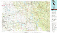 1994 Oakdale1995 Print · USGSThe San Joaquin Valley meets the Sierra foothills in the mid-1990s, where massive reservoirs and canal networks fueled California's agricultural heartland. Researchers can trace the Hetch Hetchy Aqueduct, find the Sierra RR, and locate the Riverbank Army Ammunition Plant.2 unique versions available
 - 2012 Map of Chinese Camp, 2012 Print
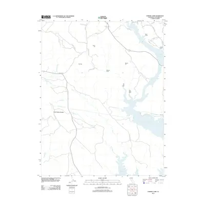 2012 Chinese Camp2012 Print · USGSTuolumne County's foothills are mapped here in the early twenty-first century, showing the intersection of vital water infrastructure and old mining landscapes. Genealogists and historians can trace Hetch Hetchy Junction, the historic Crimea House, and numerous gold-era landmarks like Brown Adit.
 - 2015 Map of Chinese Camp, 2015 Print
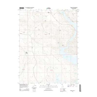 2015 Chinese Camp2015 Print · USGSChinese Camp and the surrounding Tuolumne County foothills are shown in detail during the early twenty-first century. Researchers can trace historic names and modern infrastructure from the Hetch Hetchy Aqueduct to the shores of Don Pedro Reservoir and Poor Mans Gulch.
 - 2018 Map of Chinese Camp, 2018 Print
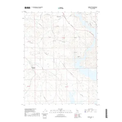 2018 Chinese Camp2018 Print · USGSTuolumne County's historic mining landscape is captured here in the decade following the millennium. Researchers can trace the path of the Hetch Hetchy Aqueduct near Hetch Hetchy Junction or locate old industrial markers like the Brown Adit and Mammoth Mine Rd.
 - 2021 Map of Chinese Camp, 2021 Print
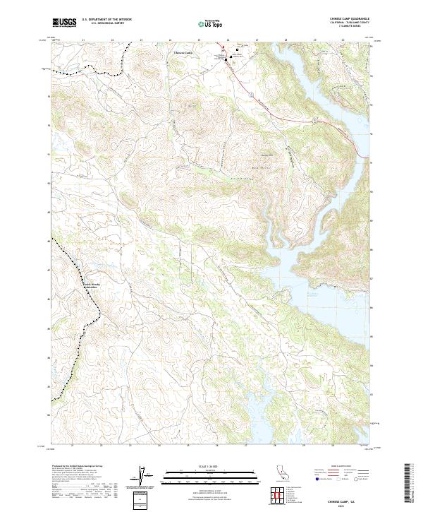 2021 Chinese Camp2021 Print · USGSTuolumne County gold country is documented here in the early twenty-first century as the historic settlement of Chinese Camp meets modern infrastructure. Trace family history through the Chinese Camp City Cem or locate the path of the Hetch Hetchy Aqueduct near Hetch Hetchy Junction.
End of results
Showing maps 1-16 of 16
Top cities near Chinese Camp
- Sonora historical maps
- Jamestown historical maps
- Sonora Meadows historical maps
- Groveland historical maps
Frequently asked questions
- What are the different types of historical maps available for Chinese Camp?
- What is the oldest map of Chinese Camp?
- Where can I purchase historical maps of Chinese Camp for my home or office?
- Where can I download high-res historical maps of Chinese Camp?
- Are there historical topographic maps available for Chinese Camp?
- Is there historical aerial imagery available for Chinese Camp?
- Where are historical maps of Chinese Camp sourced from?