
1897 Map of Sonora
USGS Topo · Published 1897About this map
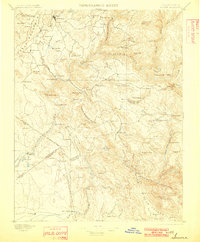
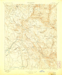
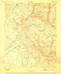
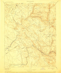
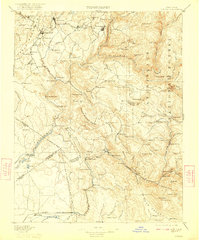
Sonora serves as the focal point for this late nineteenth-century landscape, where the Sierra Nevada foothills are defined by a complex network of mining claims and small settlements. The survey captures the region's industrial backbone, featuring notable sites like the Red Cloud Mine, Olsen Mine, and Quail Mine scattered among the ridges and gulches. Water management for mining and agriculture is evident through the presence of the Turlock Canal and infrastructure such as the Hobron Mill and Benton Mill.
Find a feature on this map
121 named features on this map. Tap any name to fly to it.
Don’t see what you’re looking for? This feature index may not catch every label — zoom into the map to look around manually.
Map Details
Editions of this 1897 Sonora Map
8 editions found
Other maps of this area

1889 · Jackson
USGS Topo · 1:125,000

1891 · Big Trees
USGS Topo · 1:125,000

1892 · Jackson
USGS Topo · 1:125,000

1893 · Sonora
USGS Topo · 1:125,000

1894 · Big Trees
USGS Topo · 1:125,000

1896 · Dardanelles
USGS Topo · 1:125,000

1896 · Sonora
USGS Topo · 1:125,000

1897 · Jackson
USGS Topo · 1:125,000

1897 · Big Trees
USGS Topo · 1:125,000

1897 · Yosemite
USGS Topo · 1:125,000