2020s Maps of Yuba County, California
Explore 21 historic maps of Yuba County from the 2020s. These maps offer a rare glimpse into what life looked like during the 2020s — showing old roads, neighborhoods, homes, and landmarks that have changed or disappeared over time.
Whether you're researching your family's past, planning a metal detecting trip, or studying how Yuba County's landscape evolved across the 2020s, these high-resolution maps are a powerful tool for exploring the history of this region.
- Focus on a specific era: All maps on this page are from the 2020s, giving you a focused view of this time period.
- See what’s changed: Compare century-old streets, trails, and buildings to today's modern landscape using overlays and satellite layers.
- Research with precision: Use these maps for genealogy, historical research, land use analysis, or educational projects.
- View, download, or print: Maps are fully viewable online in high resolution, and can be downloaded or printed for your own records.
Start exploring Yuba County's history through authentic maps from the 2020s. This is your window into the past.
Yuba County, CA maps
(21)- 2021 Map of Loma Rica, 2021 Print
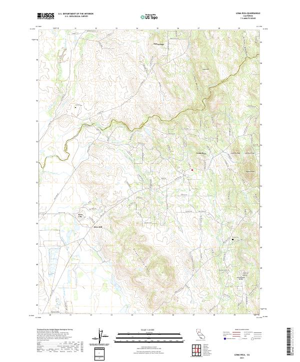 2021 Loma Rica2021 Print · USGSCovers Yuba County, including Olive Hill, Iowa City, and other nearby areas
 - 2021 Map of Oregon House, 2021 Print
 2021 Oregon House2021 Print · USGSCovers Yuba County, including Rancho Loma Rica, Oregon House, and other nearby areas
 - 2021 Map of Smartsville, 2021 Print
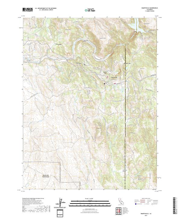 2021 Smartsville2021 Print · USGSCovers Yuba County, including Smartsville, Sicard Flat, and other nearby areas
 - 2021 Map of Gridley, 2021 Print
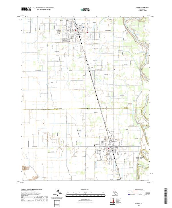 2021 Gridley2021 Print · USGSCovers Yuba County, including Live Oak, Gridley, and other nearby areas
 - 2021 Map of American House, 2021 Print
 2021 American House2021 Print · USGSCovers Yuba County, including Butte County, Plumas County, and other nearby areas
 - 2021 Map of Browns Valley, 2021 Print
 2021 Browns Valley2021 Print · USGSCovers Yuba County, including Browns Valley, Hammonton, and other nearby areas
 - 2021 Map of Sutter, 2021 Print
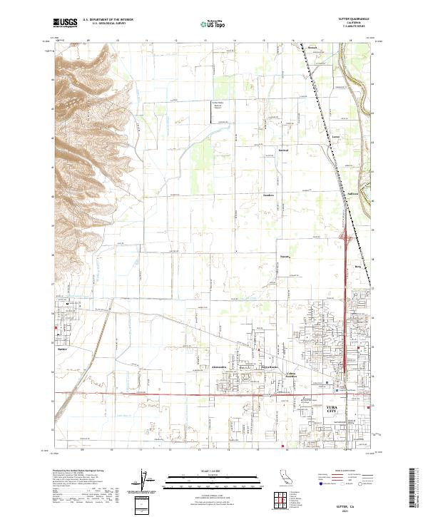 2021 Sutter2021 Print · USGSCovers Yuba County, including Yuba City, Nuestro, and other nearby areas
 - 2021 Map of Honcut, 2021 Print
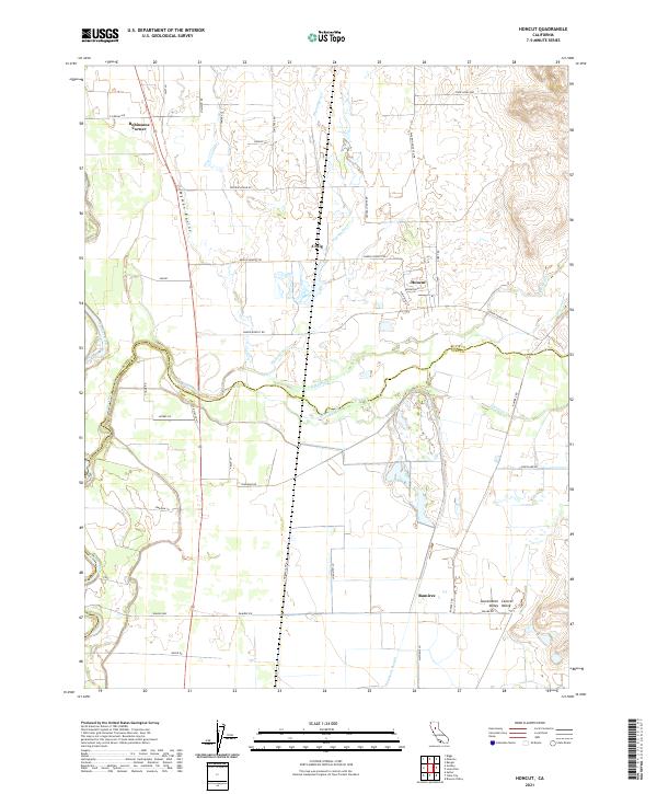 2021 Honcut2021 Print · USGSCovers Yuba County, including Robinsons Corner, Honcut, and other nearby areas
 - 2021 Map of Olivehurst, 2021 Print
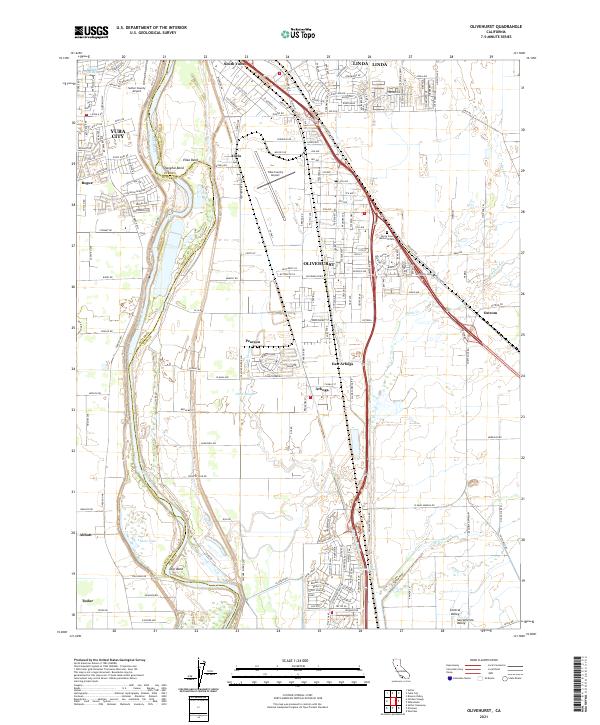 2021 Olivehurst2021 Print · USGSCovers Yuba County, including Yuba City, Linda, and other nearby areas
 - 2021 Map of Strawberry Valley, 2021 Print
 2021 Strawberry Valley2021 Print · USGSCovers Yuba County, including Eagleville, Cal-Ida, and other nearby areas
 - 2021 Map of Yuba City, 2021 Print
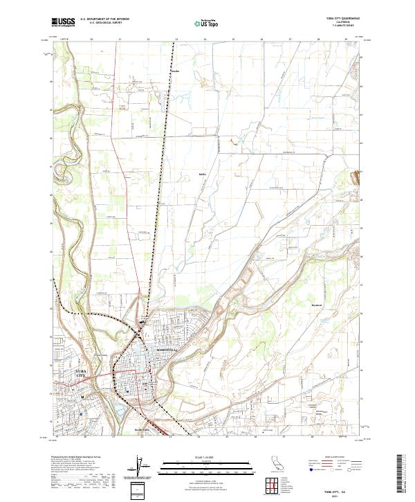 2021 Yuba City2021 Print · USGSCovers Yuba County, including Yuba City, Marysville, and other nearby areas
 - 2022 Map of Camptonville, 2022 Print
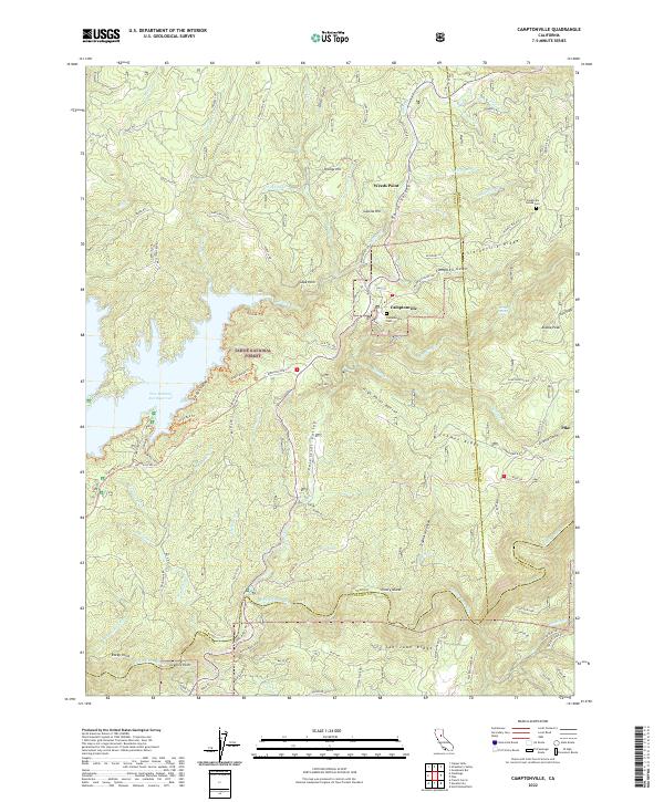 2022 Camptonville2022 Print · USGSCovers Yuba County, including Celestial Valley, Oak Valley, and other nearby areas
 - 2022 Map of Clipper Mills, 2022 Print
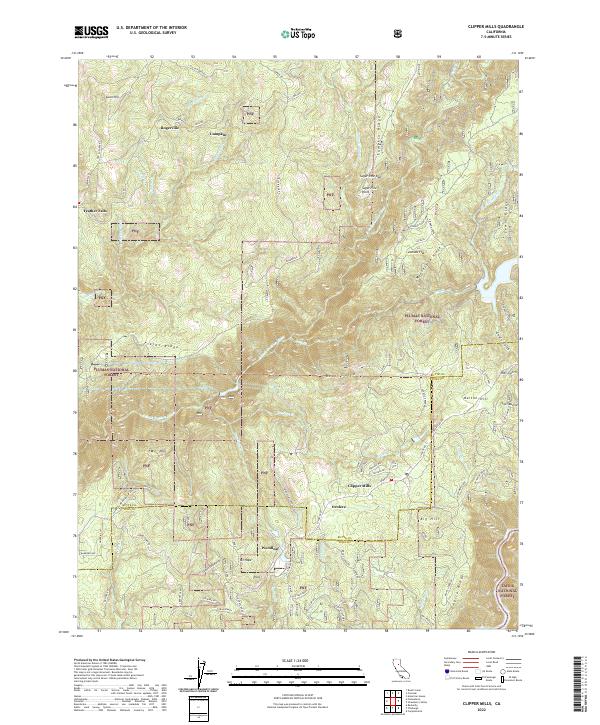 2022 Clipper Mills2022 Print · USGSCovers Yuba County, including Rogerville, Woodleaf, and other nearby areas
 - 2022 Map of Challenge, 2022 Print
 2022 Challenge2022 Print · USGSCovers Yuba County, including Greenville, Sharon Valley, and other nearby areas
 - 2022 Map of Forbestown, 2022 Print
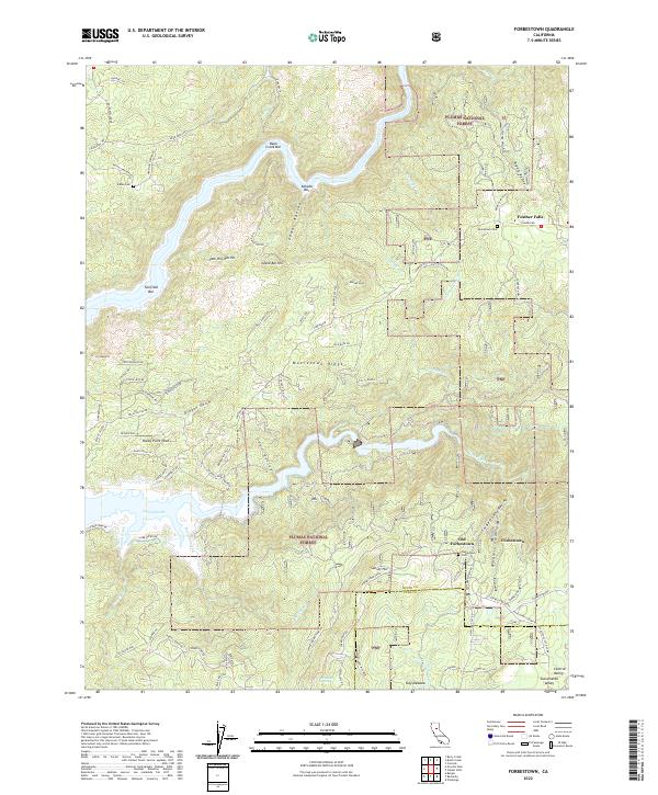 2022 Forbestown2022 Print · USGSCovers Yuba County, including Old Forbestown, Feather Falls, and other nearby areas
 - 2022 Map of Camp Far West, 2022 Print
 2022 Camp Far West2022 Print · USGSCovers Yuba County, including Waldo Junction, Placer County, and other nearby areas
 - 2022 Map of French Corral, 2022 Print
 2022 French Corral2022 Print · USGSCovers Yuba County, including Birchville, Bridgeport, and other nearby areas
 - 2022 Map of Rackerby, 2022 Print
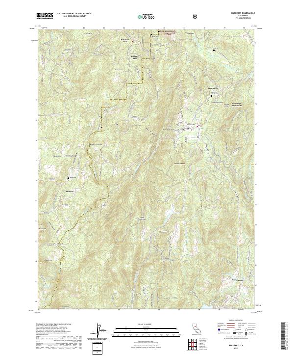 2022 Rackerby2022 Print · USGSCovers Yuba County, including Rackerby, Frenchtown, and other nearby areas
 - 2022 Map of Wheatland, 2022 Print
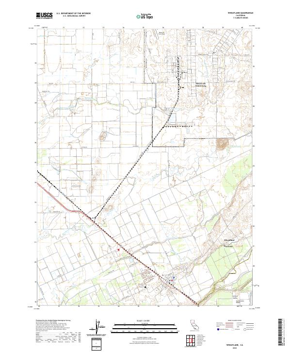 2022 Wheatland2022 Print · USGSCovers Yuba County, including Wheatland, Horstville, and other nearby areas
 - 2022 Map of Sheridan, 2022 Print
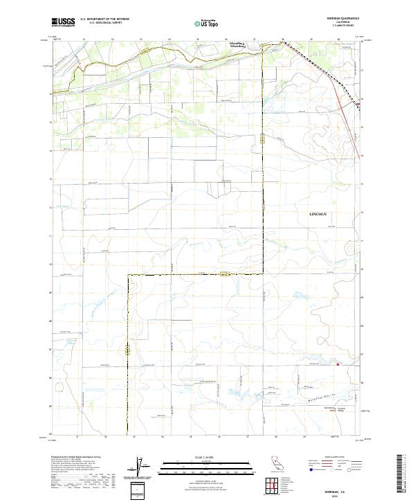 2022 Sheridan2022 Print · USGSCovers Yuba County, including Wheatland, Sheridan, and other nearby areas
 - 2022 Map of Nicolaus, 2022 Print
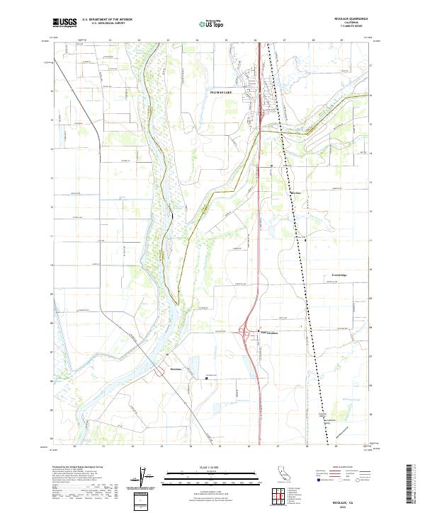 2022 Nicolaus2022 Print · USGSCovers Yuba County, including Trowbridge, East Nicolaus, and other nearby areas
End of results
Showing maps 1-21 of 21
Top cities of Yuba County
- Linda historical maps
- Olivehurst historical maps
- Marysville historical maps
- Plumas Lake historical maps
- Wheatland historical maps
Frequently asked questions
- What are the different types of historical maps available for Yuba County?
- What is the oldest map of Yuba County?
- Where can I purchase historical maps of Yuba County for my home or office?
- Where can I download high-res historical maps of Yuba County?
- Are there historical topographic maps available for Yuba County?
- Is there historical aerial imagery available for Yuba County?
- Where are historical maps of Yuba County sourced from?