2000s (21st Century) Maps of Yuba County, California
Explore 88 historic maps of Yuba County from the 2000s (21st Century). These maps offer a rare glimpse into what life looked like during the 2000s — showing old roads, neighborhoods, homes, and landmarks that have changed or disappeared over time.
Whether you're researching your family's past, planning a metal detecting trip, or studying how Yuba County's landscape evolved across the 2000s, these high-resolution maps are a powerful tool for exploring the history of this region.
- Focus on a specific era: All maps on this page are from the 2000s, giving you a focused view of this time period.
- See what’s changed: Compare century-old streets, trails, and buildings to today's modern landscape using overlays and satellite layers.
- Research with precision: Use these maps for genealogy, historical research, land use analysis, or educational projects.
- View, download, or print: Maps are fully viewable online in high resolution, and can be downloaded or printed for your own records.
Start exploring Yuba County's history through authentic maps from the 2000s. This is your window into the past.
Yuba County, CA maps
(88)- 2000 Map of Challenge, 2003 Print
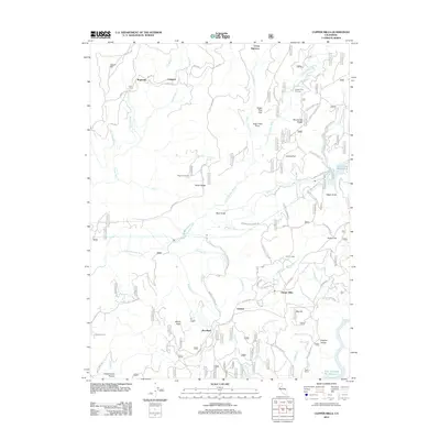
 2000 Challenge2003 Print · USGSThe northern Sierra foothills are documented here at the turn of the millennium, showing the intersection of Plumas and Yuba counties. Local historians can trace family-named sites such as Whitehead Ranch, Cummings Ranch, and the Keystone Cemetery alongside the waters of the Bullards Bar Reservoir.
 - 2000 Map of French Corral, 2003 Print
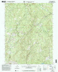
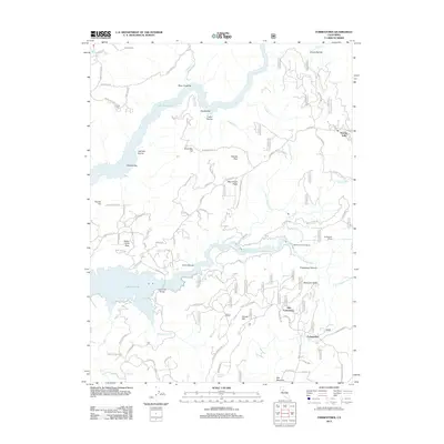
 2000 French Corral2003 Print · USGSThe Yuba River canyon and San Juan Ridge at the turn of the millennium show a landscape shaped by both gold-rush history and modern power. Trace the location of the Covered Bridge at Bridgeport and the remains of old mining communities like French Corral and Birchville.
 - 2000 Map of Camptonville, 2003 Print
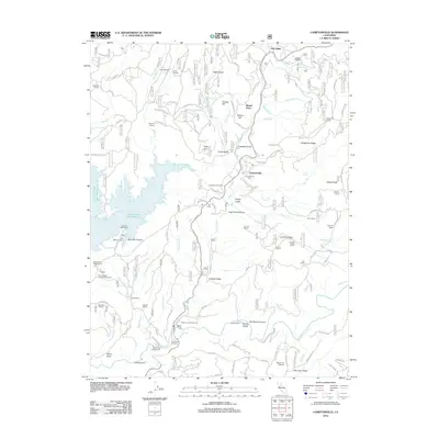
 2000 Camptonville2003 Print · USGSCamptonville and the Tahoe National Forest are shown at the turn of the millennium as the local landscape balances reservoir development with historic trails. Genealogists and historians can trace family sites like Youngs Grave and Lohman Ranch or locate the Covered Bridge and Camptonville Cemetery.
 - 2002 Map of Rackerby, 2003 Print
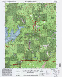
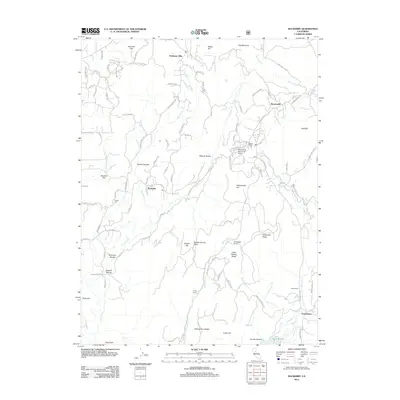
 2002 Rackerby2003 Print · USGSThe foothills of the Northern Sierras come into focus at the start of the century, showing the rural communities along the Butte and Yuba county line. You can trace early mining and education history through landmarks like the Central Pacific Mine, Sharon Valley Sch, and the New York Flat Cem.
 - 2012 Map of Sutter, 2012 Print
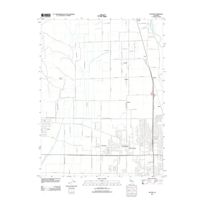 2012 Sutter2012 Print · USGSCovers Yuba County, including Yuba City, Nuestro, and other nearby areas
 - 2012 Map of French Corral, 2012 Print
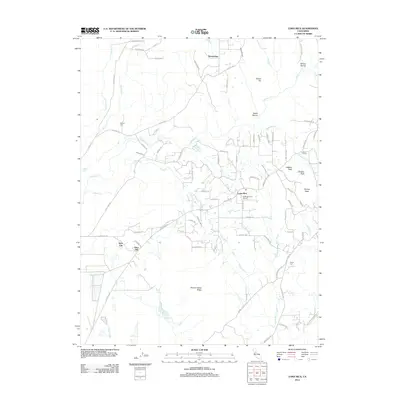
 2012 French Corral2012 Print · USGSCovers Yuba County, including Birchville, Bridgeport, and other nearby areas
 - 2012 Map of Honcut, 2012 Print
 2012 Honcut2012 Print · USGSCovers Yuba County, including Robinsons Corner, Honcut, and other nearby areas
 - 2012 Map of Smartsville, 2012 Print
 2012 Smartsville2012 Print · USGSCovers Yuba County, including Smartsville, Timbuctoo, and other nearby areas
 - 2012 Map of Gridley, 2012 Print
 2012 Gridley2012 Print · USGSCovers Yuba County, including Live Oak, Gridley, and other nearby areas
 - 2012 Map of Loma Rica, 2012 Print
 2012 Loma Rica2012 Print · USGSCovers Yuba County, including Olive Hill, Iowa City, and other nearby areas
 - 2012 Map of Oregon House, 2012 Print
 2012 Oregon House2012 Print · USGSCovers Yuba County, including Oregon House, Stanfield Hill, and other nearby areas
 - 2012 Map of Wheatland, 2012 Print
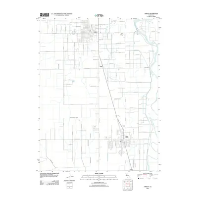
 2012 Wheatland2012 Print · USGSCovers Yuba County, including Wheatland, Horstville, and other nearby areas
 - 2012 Map of Yuba City, 2012 Print
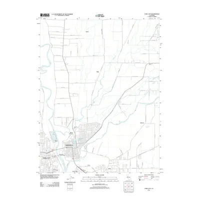 2012 Yuba City2012 Print · USGSCovers Yuba County, including Yuba City, Marysville, and other nearby areas
 - 2012 Map of Olivehurst, 2012 Print
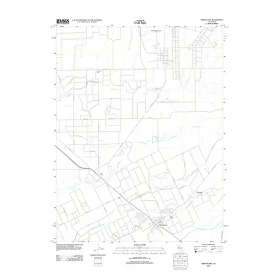
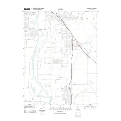 2012 Olivehurst2012 Print · USGSCovers Yuba County, including Yuba City, Linda, and other nearby areas
 - 2012 Map of Sheridan, 2012 Print
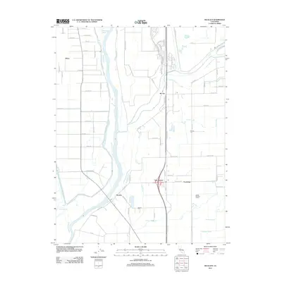
 2012 Sheridan2012 Print · USGSCovers Yuba County, including Wheatland, Sheridan, and other nearby areas
 - 2012 Map of Nicolaus, 2012 Print
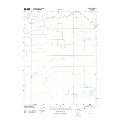
 2012 Nicolaus2012 Print · USGSCovers Yuba County, including Trowbridge, East Nicolaus, and other nearby areas
 - 2012 Map of Camp Far West, 2012 Print
 2012 Camp Far West2012 Print · USGSCovers Yuba County, including Waldo Junction, Placer County, and other nearby areas
 - 2012 Map of Browns Valley, 2012 Print
 2012 Browns Valley2012 Print · USGSCovers Yuba County, including Browns Valley, Hammonton, and other nearby areas
 - 2012 Map of Challenge, 2012 Print
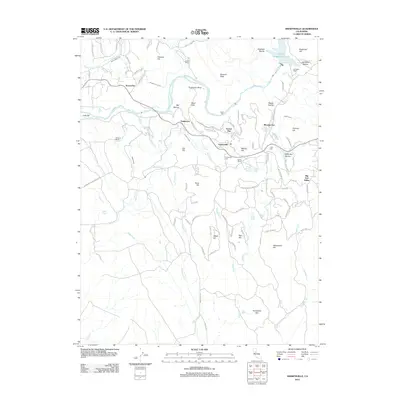
 2012 Challenge2012 Print · USGSCovers Yuba County, including Sharon Valley, Challenge, and other nearby areas
 - 2012 Map of American House, 2012 Print
 2012 American House2012 Print · USGSCovers Yuba County, including Butte County, Plumas County, and other nearby areas
 - 2012 Map of Camptonville, 2012 Print
 2012 Camptonville2012 Print · USGSCovers Yuba County, including Oak Valley, Camptonville, and other nearby areas
 - 2012 Map of Rackerby, 2012 Print
 2012 Rackerby2012 Print · USGSCovers Yuba County, including Rackerby, Brownsville, and other nearby areas
 - 2012 Map of Strawberry Valley, 2012 Print
 2012 Strawberry Valley2012 Print · USGSCovers Yuba County, including Cal-Ida, Eagleville, and other nearby areas
 - 2012 Map of Forbestown, 2012 Print
 2012 Forbestown2012 Print · USGSCovers Yuba County, including Old Forbestown, Forbestown, and other nearby areas
 - 2012 Map of Clipper Mills, 2012 Print
 2012 Clipper Mills2012 Print · USGSCovers Yuba County, including Woodleaf, Oroleve, and other nearby areas
Showing maps 1-25 of 88
Top cities of Yuba County
- Linda historical maps
- Olivehurst historical maps
- Marysville historical maps
- Plumas Lake historical maps
- Wheatland historical maps
Frequently asked questions
- What are the different types of historical maps available for Yuba County?
- What is the oldest map of Yuba County?
- Where can I purchase historical maps of Yuba County for my home or office?
- Where can I download high-res historical maps of Yuba County?
- Are there historical topographic maps available for Yuba County?
- Is there historical aerial imagery available for Yuba County?
- Where are historical maps of Yuba County sourced from?