Old Maps of Castle Rock, Colorado for Hiking & Exploration
Hike through history with 34 historic maps of Castle Rock. Explore old trails, ghost towns, and forgotten backroads — perfect for outdoor adventurers and local explorers.
- Rediscover forgotten places: Map out old mining camps, roads, and footpaths that no longer exist on modern maps.
- Layer with modern tools: Combine with LiDAR or satellite views to plan hikes through historical terrain.
- Made for exploration: Popular among hikers, overlanders, and local history lovers.
Use these maps to find adventure and explore the hidden past of Castle Rock.
Castle Rock, CO maps
(34)- 1894 Map of Castle Rock
 1894 Castle Rock1894 Print · USGSThe Front Range high country in the 1890s reveals a landscape of ranching hubs and competing rail lines. Trace early transit routes like the Denver and Rio Grande Railroad through Castle Rock, Larkspur, and Monument.2 unique versions available
 - 1913 Map of Castle Rock
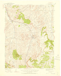
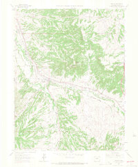
 1913 Castle Rock1913 Print · USGSThe Colorado front range at the start of the twentieth century was a landscape of high-plains ranching and vital rail junctions. Genealogists can locate family homesteads near dozens of early schools like Rock Ridge School and churches such as Bethel Church.5 unique versions available
 - 1940 Map of Castle Rock, 1958 Print
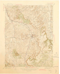
 1940 Castle Rock1958 Print · USGSDouglas County ranching and rail life are captured here just before the mid-century, centered on the growing crossroads of Castle Rock. Genealogists can locate family-named landmarks and rural schools like Fonder Sch or trace the Bear Canyon Cem near Sedalia.3 unique versions available
 - 1945 Map of Castle Rock
 1945 Castle Rock1945 Print · USGSDouglas County's railway and ranching corridors come to life in the mid-1940s as two major railroads compete for space along the Plum Creek valley. Researchers can trace old family sites and rural institutions like the Pikes Peak Grange Hall, Bear Canyon Cem, and the Clay Mine.2 unique versions available
 - 1953 Map of Denver, 1964 Print
 1953 Denver1964 Print · USGSDenver and the Colorado Front Range are captured here during a decade of post-war growth and military expansion. Researchers can trace the sprawling rail lines of the Union Pacific, locate the State Capitol, and explore historic mountain mining hubs like Central City.6 unique versions available
 - 1957 Map of Denver
 1957 Denver1957 Print · USGSDenver and the Colorado Front Range are seen here during a mid-century period of intense military and urban expansion. Trace the footprints of the Rocky Mountain Arsenal, the early United States Air Force Academy, and the Lowry AF Base.
 - 1958 Map of Denver
 1958 Denver1958 Print · USGSDenver and the Colorado Front Range are captured here during the mid-century suburban boom. Trace the footprints of military installations like Buckley Air Force Base alongside the established rail networks of the Colorado & Southern Ry.
 - 1960 Map of Denver
 1960 Denver1960 Print · USGSDenver and the Colorado Front Range are seen here at a pivotal moment of postwar expansion into the plains and foothills. Researchers can trace the mid-century rail network of the Denver & Rio Grande Western RR and locate historic institutional landmarks like Buckley Field and the Colorado School of Mines.
 - 1965 Map of Castle Rock South, 1966 Print
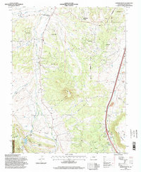
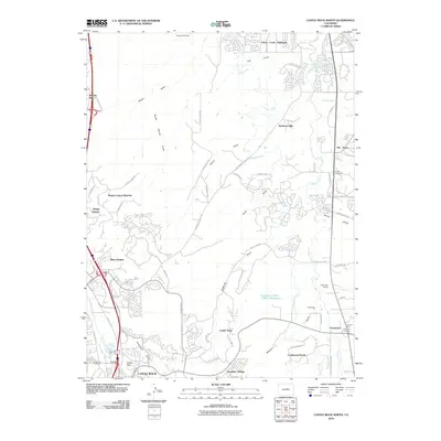
 1965 Castle Rock South1966 Print · USGSCastle Rock was a busy rail and quarrying hub in the mid-1960s, prior to the major suburban expansion of the late twentieth century. Genealogists and historians can trace the paths of the Atohison Topeka and Santa Fe railroad, locate the Cem, or identify early industrial sites like the Claypits.6 unique versions available
 - 1965 Map of Castle Rock North, 1966 Print
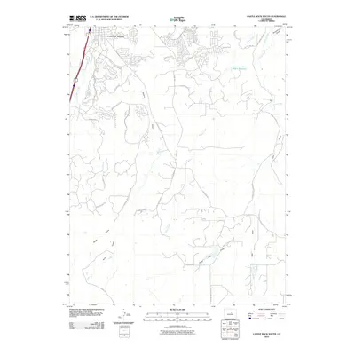
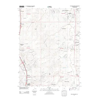
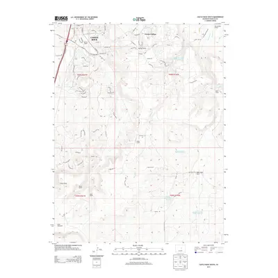
 1965 Castle Rock North1966 Print · USGSMid-century Douglas County comes to life as Denver's southern expansion begins to meet the high plains. Trace the early footprints of Castle Rock and Franktown, find the Fonder Cemetery, and follow the parallel tracks of the Denver and Rio Grande Western railroad.6 unique versions available
 - 1965 Map of Sedalia, 1967 Print
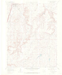
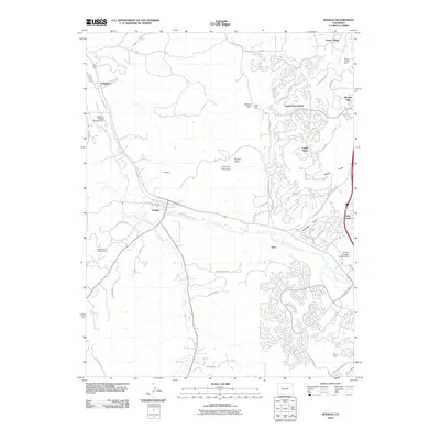
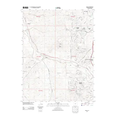
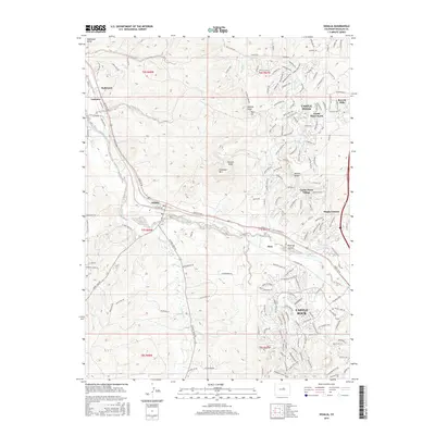
 1965 Sedalia1967 Print · USGSDouglas County ranching and rail lines meet in the mid-1960s at the junction of two major western railroads. Genealogists and historians can trace local landmarks like Kellytown, the Ute Mine, and the country schoolhouses at Gann Sch and Round Top Sch.4 unique versions available
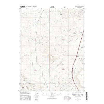
 - 1965 Map of Dawson Butte, 1967 Print
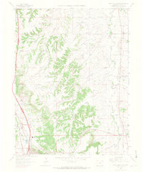
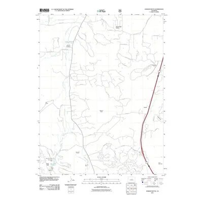
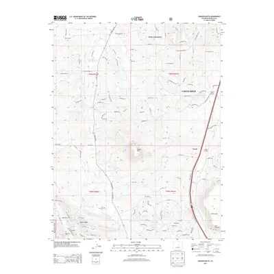
 1965 Dawson Butte1967 Print · USGSDouglas County’s ranching roots and expanding development meet in the mid-1960s along the East Plum Creek corridor. Genealogists can trace early landmarks like Glen Grove Cem and Oakland Sch while tracking the dual railroad lines through Tomah.5 unique versions available
 - 1983 Map of Castle Rock
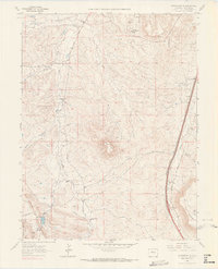
 1983 Castle Rock1983 Print · USGSThe Palmer Divide and Front Range foothills come to life in the early eighties as ranching communities and military sites define the landscape. Trace old rail lines like the Chicago Rock Island and Pacific and find landmarks from Monkey Face to Daniels Park.
 - 1994 Map of Dawson Butte, 1998 Print
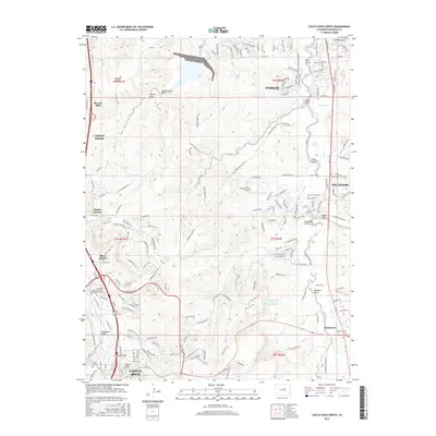
 1994 Dawson Butte1998 Print · USGSDouglas County landscape in the early nineties shows the transition from historic ranching to modern estates south of Castle Rock. Genealogists can locate Glen Grove Cemetery and St Phillip in the Field Church, while rail enthusiasts can trace the parallel lines of The Atchison Topeka and Santa Fe RR.
 - 2010 Map of Castle Rock North, 2010 Print
 2010 Castle Rock North2010 Print · USGSCovers Castle Rock, including Parker, Castle Oaks, and other nearby areas
 - 2010 Map of Castle Rock South, 2010 Print
 2010 Castle Rock South2010 Print · USGSCovers Castle Rock, including Douglas County, United States, and other nearby areas
 - 2010 Map of Sedalia, 2010 Print
 2010 Sedalia2010 Print · USGSCovers Castle Rock, including Sedaila, Kellytown, and other nearby areas
 - 2011 Map of Dawson Butte, 2011 Print
 2011 Dawson Butte2011 Print · USGSCovers Castle Rock, including Larkspur, Monte Vista Estates, and other nearby areas
 - 2013 Map of Castle Rock North, 2013 Print
 2013 Castle Rock North2013 Print · USGSCovers Castle Rock, including Parker, Castle Oaks, and other nearby areas
 - 2013 Map of Dawson Butte, 2013 Print
 2013 Dawson Butte2013 Print · USGSCovers Castle Rock, including Larkspur, Monte Vista Estates, and other nearby areas
 - 2013 Map of Sedalia, 2013 Print
 2013 Sedalia2013 Print · USGSCovers Castle Rock, including Sedaila, Kellytown, and other nearby areas
 - 2013 Map of Castle Rock South, 2013 Print
 2013 Castle Rock South2013 Print · USGSCovers Castle Rock, including Douglas County, United States, and other nearby areas
 - 2016 Map of Dawson Butte, 2016 Print
 2016 Dawson Butte2016 Print · USGSCovers Castle Rock, including Larkspur, Monte Vista Estates, and other nearby areas
 - 2016 Map of Castle Rock North, 2016 Print
 2016 Castle Rock North2016 Print · USGSCovers Castle Rock, including Parker, Castle Oaks, and other nearby areas
 - 2016 Map of Sedalia, 2016 Print
 2016 Sedalia2016 Print · USGSCovers Castle Rock, including Sedaila, Kellytown, and other nearby areas
Showing maps 1-25 of 34
Top cities near Castle Rock
- Aurora historical maps
- Highlands Ranch historical maps
- Centennial historical maps
- Parker historical maps
- Littleton historical maps
- Greenwood Village historical maps
See more
Top neighborhoods of Castle Rock
Frequently asked questions
- What are the different types of historical maps available for Castle Rock?
- What is the oldest map of Castle Rock?
- Where can I purchase historical maps of Castle Rock for my home or office?
- Where can I download high-res historical maps of Castle Rock?
- Are there historical topographic maps available for Castle Rock?
- Is there historical aerial imagery available for Castle Rock?
- Where are historical maps of Castle Rock sourced from?