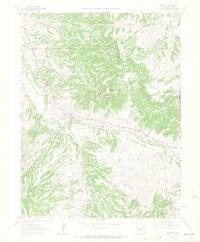
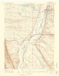
1965 Map of Sedalia
USGS Topo · Published 1967About this map
Sedalia serves as the central hub of this mid-1960s landscape, positioned where the Denver and Rio Grande Western and Atchison Topeka and Santa Fe railroads converge alongside the branching waters of Plum Creek and East Plum Creek. The map documents a rural transition, showing established cattle operations like Happy Canyon Ranch and the industrial footprint of the Ute Mine alongside newer aviation landmarks such as the Littleton-Sedalia Landing Area.
Find a feature on this map
26 named features on this map. Tap any name to fly to it.
Don’t see what you’re looking for? This feature index may not catch every label — zoom into the map to look around manually.
Map Details
Editions of this 1965 Sedalia Map
4 editions found
Other maps of this area
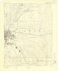
1890 · East Denver
USGS Topo · 1:125,000
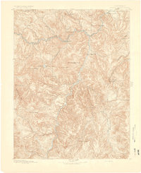
1893 · Platte Canyon
USGS Topo · 1:125,000
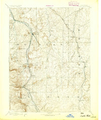
1894 · Castle Rock
USGS Topo · 1:125,000

1899 · West Denver
USGS Topo · 1:125,000
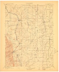
1913 · Castle Rock
USGS Topo · 1:125,000
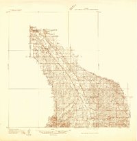
1935 · East Denver Nos. 3 and 4
USGS Topo · 1:48,000
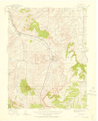
1940 · Castle Rock
USGS Topo · 1:62,500
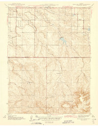
1942 · Highland Ranch
USGS Topo · 1:31,680
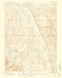
1942 · Parker
USGS Topo · 1:31,680
1942 · Littleton
USGS Topo · 1:31,680