2000s (21st Century) Maps of Palmer Lake, Colorado
Explore 15 historic maps of Palmer Lake from the 2000s (21st Century). These maps offer a rare glimpse into what life looked like during the 2000s — showing old roads, neighborhoods, homes, and landmarks that have changed or disappeared over time.
Whether you're researching your family's past, planning a metal detecting trip, or studying how Palmer Lake's landscape evolved across the 2000s, these high-resolution maps are a powerful tool for exploring the history of this region.
- Focus on a specific era: All maps on this page are from the 2000s, giving you a focused view of this time period.
- See what’s changed: Compare century-old streets, trails, and buildings to today's modern landscape using overlays and satellite layers.
- Research with precision: Use these maps for genealogy, historical research, land use analysis, or educational projects.
- View, download, or print: Maps are fully viewable online in high resolution, and can be downloaded or printed for your own records.
Start exploring Palmer Lake's history through authentic maps from the 2000s. This is your window into the past.
Palmer Lake, CO maps
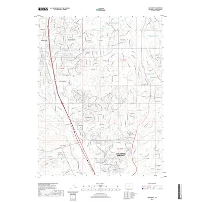
(15)- 2010 Map of Monument, 2010 Print
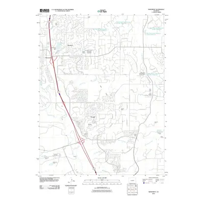 2010 Monument2010 Print · USGSCovers Palmer Lake, including Colorado Springs, Monument, and other nearby areas
 - 2011 Map of Palmer Lake, 2011 Print
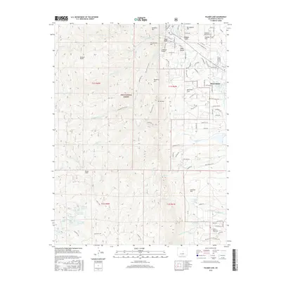
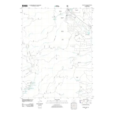 2011 Palmer Lake2011 Print · USGSCovers Palmer Lake, including Monument, Pine Crest, and other nearby areas
 - 2011 Map of Larkspur, 2011 Print
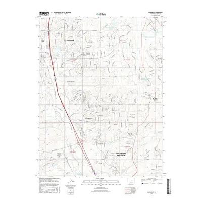
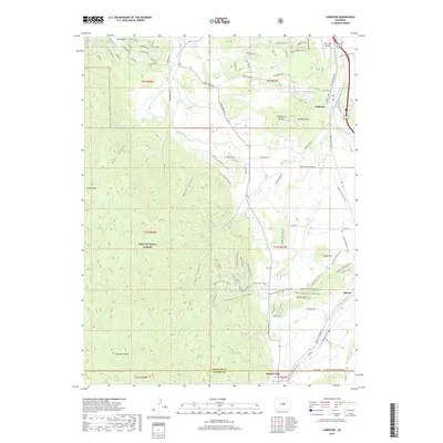
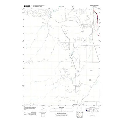 2011 Larkspur2011 Print · USGSCovers Palmer Lake, including Larkspur, Spruce, and other nearby areas
 - 2013 Map of Larkspur, 2013 Print
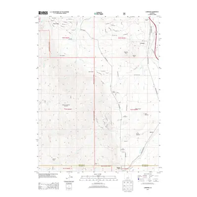 2013 Larkspur2013 Print · USGSCovers Palmer Lake, including Larkspur, Spruce, and other nearby areas
 - 2013 Map of Palmer Lake, 2013 Print
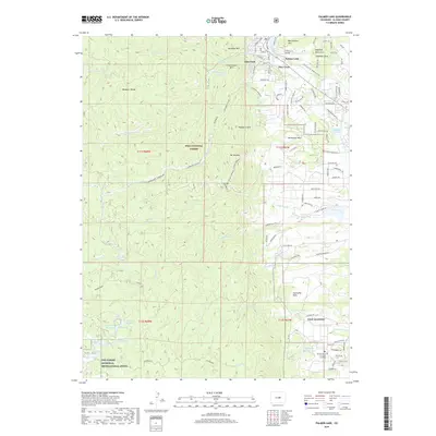
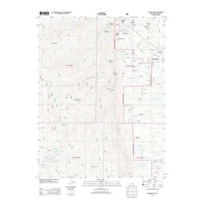 2013 Palmer Lake2013 Print · USGSCovers Palmer Lake, including Monument, Pine Crest, and other nearby areas
 - 2013 Map of Monument, 2013 Print
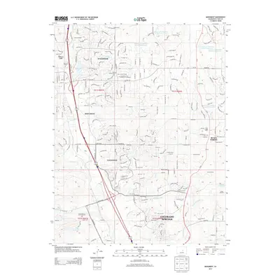 2013 Monument2013 Print · USGSCovers Palmer Lake, including Colorado Springs, Monument, and other nearby areas
 - 2016 Map of Larkspur, 2016 Print
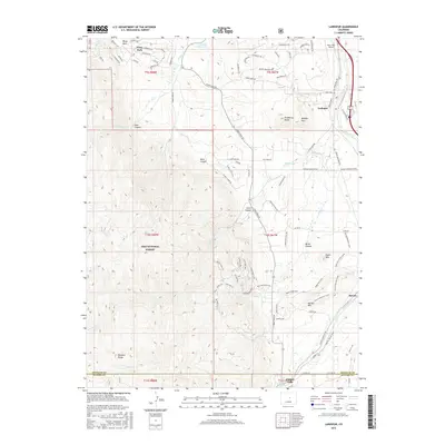 2016 Larkspur2016 Print · USGSCovers Palmer Lake, including Larkspur, Spruce, and other nearby areas
 - 2016 Map of Monument, 2016 Print
 2016 Monument2016 Print · USGSCovers Palmer Lake, including Colorado Springs, Monument, and other nearby areas
 - 2016 Map of Palmer Lake, 2016 Print
 2016 Palmer Lake2016 Print · USGSCovers Palmer Lake, including Monument, Pine Crest, and other nearby areas
 - 2019 Map of Palmer Lake, 2019 Print
 2019 Palmer Lake2019 Print · USGSCovers Palmer Lake, including Monument, Pine Crest, and other nearby areas
 - 2019 Map of Larkspur, 2019 Print
 2019 Larkspur2019 Print · USGSCovers Palmer Lake, including Larkspur, Spruce, and other nearby areas
 - 2019 Map of Monument, 2019 Print
 2019 Monument2019 Print · USGSCovers Palmer Lake, including Colorado Springs, Monument, and other nearby areas
 - 2022 Map of Monument, 2022 Print
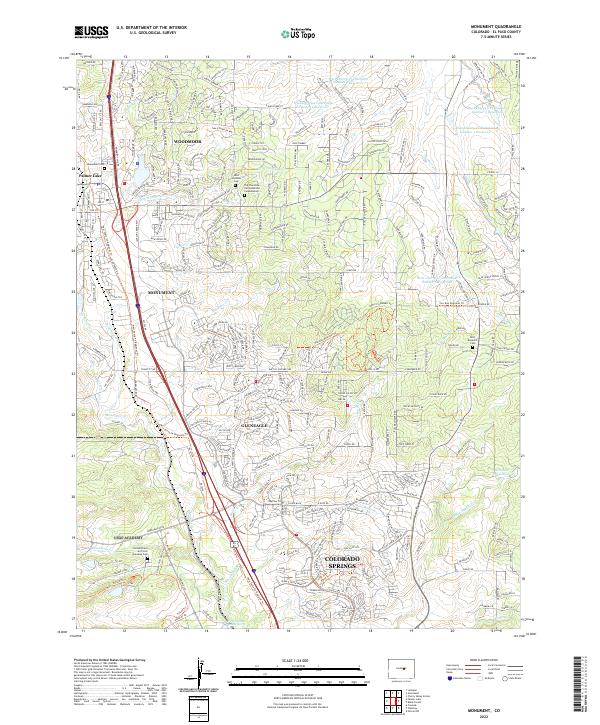 2022 Monument2022 Print · USGSMonument and Palmer Lake appear during a period of significant suburban expansion along the Front Range. Researchers can trace the modern layout of Woodmoor, locate the U.S. Air Force Academy Cemetery, and follow the New Santa Fe Regional Trail.
 - 2022 Map of Larkspur, 2022 Print
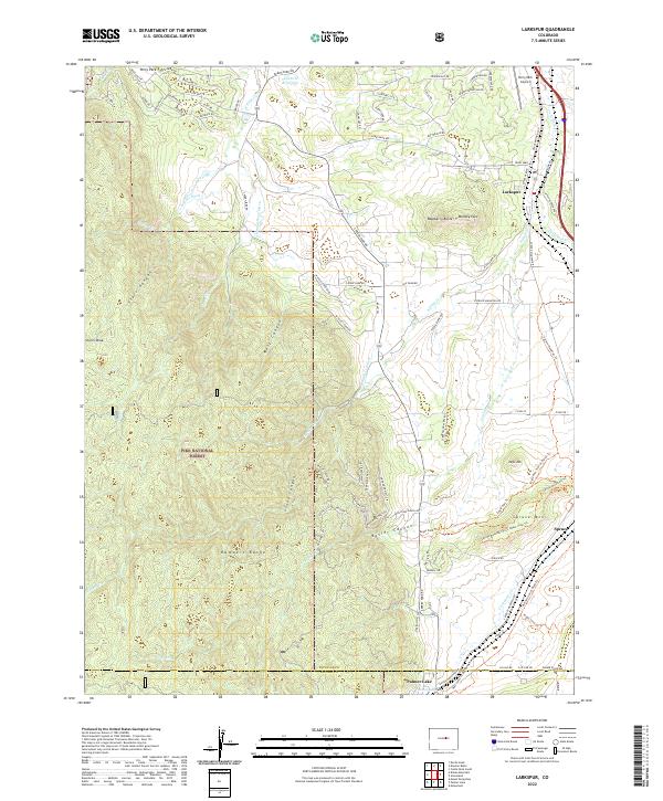 2022 Larkspur2022 Print · USGSThe Douglas County foothills come into focus in 2022, showing the residential growth of Larkspur and Perry Park against the backdrop of the Rampart Range. Genealogists and local historians can trace landmarks like Larkspur Cem, St Marys Church, and the high peak of Spruce Mtn.
 - 2022 Map of Palmer Lake, 2022 Print
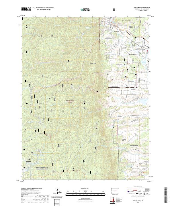 2022 Palmer Lake2022 Print · USGSEl Paso County at the edge of the Rampart Range shows a landscape shaped by military history and the expansion of the Front Range. Researchers can trace the extensive grounds of the USAF Academy and landmark formations like Elephant Rock and Monument Rock.
End of results
Showing maps 1-15 of 15
Top cities near Palmer Lake
- Colorado Springs historical maps
- Castle Rock historical maps
- Woodland Park historical maps
- Monument historical maps
- Green Mountain Falls historical maps
- Larkspur historical maps
Top neighborhoods of Palmer Lake
Frequently asked questions
- What are the different types of historical maps available for Palmer Lake?
- What is the oldest map of Palmer Lake?
- Where can I purchase historical maps of Palmer Lake for my home or office?
- Where can I download high-res historical maps of Palmer Lake?
- Are there historical topographic maps available for Palmer Lake?
- Is there historical aerial imagery available for Palmer Lake?
- Where are historical maps of Palmer Lake sourced from?