Old Maps of Red Feather Lakes, Colorado for Hiking & Exploration
Hike through history with 29 historic maps of Red Feather Lakes. Explore old trails, ghost towns, and forgotten backroads — perfect for outdoor adventurers and local explorers.
- Rediscover forgotten places: Map out old mining camps, roads, and footpaths that no longer exist on modern maps.
- Layer with modern tools: Combine with LiDAR or satellite views to plan hikes through historical terrain.
- Made for exploration: Popular among hikers, overlanders, and local history lovers.
Use these maps to find adventure and explore the hidden past of Red Feather Lakes.
Red Feather Lakes, CO maps
(29)- 1907 Map of Livermore, 1954 Print
 1907 Livermore1954 Print · USGSLarimer County at the turn of the century shows a frontier landscape transitioning into a settled ranching and rail corridor. Genealogists and historians can trace family-named sites like Maxwell Ranch alongside early landmarks like the Forks Hotel and Campbell Grove School.2 unique versions available
 - 1909 Map of Livermore
 1909 Livermore1909 Print · USGSNorthern Colorado at the turn of the century shows a landscape of developing irrigation and early mountain industry. Trace the early streets of Fort Collins or find the remote Forks Hotel and Empire Mine among the foothills.4 unique versions available
 - 1916 Map of Home, 1954 Print
 1916 Home1954 Print · USGSHigh mountain ranching and early forestry are captured in this 1916 survey of northern Colorado as the modern park system took root. Researchers can trace historic homesteads like Williams Ranch, find the Black Mtn School, and locate the mining-era settlement of Manhattan.2 unique versions available
 - 1920 Map of Home
 1920 Home1920 Print · USGSLarimer County at the end of the Great War was a landscape of high-country ranches and forest outposts. Genealogists and historians can locate family homesteads like Derby Ranch and Bennett Ranch or trace the early operations of the Black Mtn School and Manhattan.4 unique versions available
 - 1954 Map of Greeley, 1966 Print
 1954 Greeley1966 Print · USGSNorthern Colorado transitions from high-alpine peaks to the irrigated South Platte valley during this mid-century period of growth. Genealogists and historians can trace rail-connected hubs like Greeley and Longmont alongside landmarks like Horsetooth Reservoir and Estes Park.3 unique versions available
 - 1957 Map of Greeley
 1957 Greeley1957 Print · USGSNorthern Colorado in the mid-fifties is captured here as the agricultural plains of Weld County meet the high peaks of the Front Range. Genealogists and historians can trace rail-linked towns like Keenesburg and Roggen or locate early water features such as Boyd Lake and Fossil Creek Reservoir.
 - 1958 Map of Greeley
 1958 Greeley1958 Print · USGSNorthern Colorado and the high peaks of the Front Range appear here in the mid-fifties as the region's agricultural and rail networks were fully established. Genealogists can locate family homes near Virginia Dale, Waverly, or Kuner, and trace the path of the Union Pacific Railroad through Greeley.
 - 1960 Map of Haystack Gulch, 1962 Print
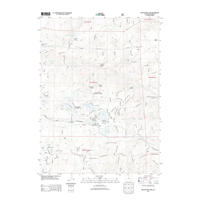
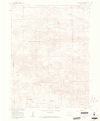 1960 Haystack Gulch1962 Print · USGSLarimer County high country in the early sixties centers on the rugged drainage of the Rabbit Creek forks. Trace old family sites and rural landmarks like Log Cabin, the Lone Pine Sch, and Stuart Hole along the Red Feather Lakes Road.4 unique versions available
 - 1961 Map of Greeley
 1961 Greeley1961 Print · USGSNorthern Colorado's transition from high mountain peaks to irrigated plains is captured here just as the post-war population boom reached the Front Range. Researchers can trace early water infrastructure and rail lines like the Great Western RR connecting sugar beet hubs from Fort Collins to Greeley.
 - 1964 Map of Greeley
 1964 Greeley1964 Print · USGSThe Front Range corridor and high peaks of the Rockies appear here in the mid-1960s, showing the intersection of mountain wilderness and plains agriculture. Trace the rail routes of the Great Western RR or locate landmarks like Longs Peak and Horsetooth Reservoir.
 - 1965 Map of Greeley
 1965 Greeley1965 Print · USGSNorthern Colorado in the mid-sixties shows a landscape defined by high mountain summits and the growing irrigation networks of the plains. Genealogists and historians can trace rail-side towns like Wellington or follow the early tracks of the Union Pacific Railroad past Longs Peak.
 - 1967 Map of South Bald Mountain, 1971 Print
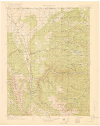
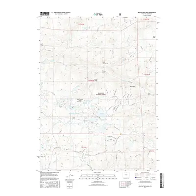
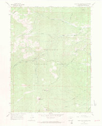 1967 South Bald Mountain1971 Print · USGSHigh in the Colorado Front Range during the mid-sixties, this area of the Roosevelt National Forest shows a landscape defined by ranching and mountain peaks. Researchers can trace the water history of Mitchell Ditch or locate Black Mtn Ranch and the Prospect near Deadman Hill.3 unique versions available
 - 1967 Map of Red Feather Lakes, 1971 Print
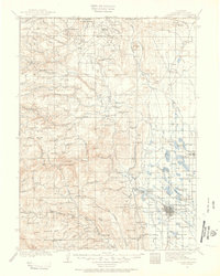
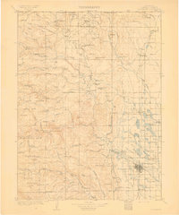
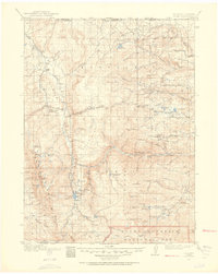
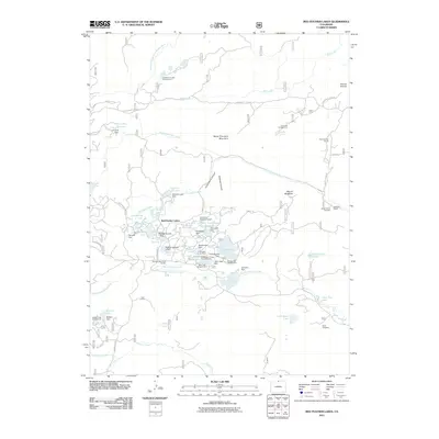
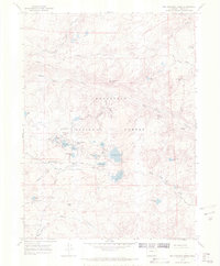 1967 Red Feather Lakes1971 Print · USGSIn the late 1960s, the high-altitude community of Red Feather Lakes was a established hub for mountain recreation and ranching. Genealogists and hikers can trace the footprints of Maxwell Ranch or locate local landmarks like Chapel In the Pines and Many Thunders Mountain.2 unique versions available
 - 1980 Map of Fort Collins, 1981 Print
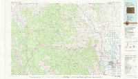 1980 Fort Collins1981 Print · USGSThe Front Range and high Rockies meet in Larimer County during the early 1980s. Local researchers can trace the growth of Fort Collins, the irrigation network around Wellington, and high-country outposts like Red Feather Lakes or the scenic canyon settlement of Mishawaka.
 - 2011 Map of Haystack Gulch, 2011 Print
 2011 Haystack Gulch2011 Print · USGSCovers Red Feather Lakes, including Larimer County, United States, and other nearby areas
 - 2011 Map of Red Feather Lakes, 2011 Print
 2011 Red Feather Lakes2011 Print · USGSCovers Red Feather Lakes, including Larimer County, United States, and other nearby areas
 - 2011 Map of South Bald Mountain, 2011 Print
 2011 South Bald Mountain2011 Print · USGSCovers Red Feather Lakes, including Larimer County, United States, and other nearby areas
 - 2013 Map of Haystack Gulch, 2013 Print
 2013 Haystack Gulch2013 Print · USGSCovers Red Feather Lakes, including Larimer County, United States, and other nearby areas
 - 2013 Map of South Bald Mountain, 2013 Print
 2013 South Bald Mountain2013 Print · USGSCovers Red Feather Lakes, including Larimer County, United States, and other nearby areas
 - 2013 Map of Red Feather Lakes, 2013 Print
 2013 Red Feather Lakes2013 Print · USGSCovers Red Feather Lakes, including Larimer County, United States, and other nearby areas
 - 2016 Map of Haystack Gulch, 2016 Print
 2016 Haystack Gulch2016 Print · USGSCovers Red Feather Lakes, including Larimer County, United States, and other nearby areas
 - 2016 Map of South Bald Mountain, 2016 Print
 2016 South Bald Mountain2016 Print · USGSCovers Red Feather Lakes, including Larimer County, United States, and other nearby areas
 - 2016 Map of Red Feather Lakes, 2016 Print
 2016 Red Feather Lakes2016 Print · USGSCovers Red Feather Lakes, including Larimer County, United States, and other nearby areas
 - 2019 Map of Haystack Gulch, 2019 Print
 2019 Haystack Gulch2019 Print · USGSCovers Red Feather Lakes, including Larimer County, United States, and other nearby areas
 - 2019 Map of Red Feather Lakes, 2019 Print
 2019 Red Feather Lakes2019 Print · USGSCovers Red Feather Lakes, including Larimer County, United States, and other nearby areas
Showing maps 1-25 of 29
Frequently asked questions
- What are the different types of historical maps available for Red Feather Lakes?
- What is the oldest map of Red Feather Lakes?
- Where can I purchase historical maps of Red Feather Lakes for my home or office?
- Where can I download high-res historical maps of Red Feather Lakes?
- Are there historical topographic maps available for Red Feather Lakes?
- Is there historical aerial imagery available for Red Feather Lakes?
- Where are historical maps of Red Feather Lakes sourced from?