2010s Maps of Dinosaur, Colorado
Explore 11 historic maps of Dinosaur from the 2010s. These maps offer a rare glimpse into what life looked like during the 2010s — showing old roads, neighborhoods, homes, and landmarks that have changed or disappeared over time.
Whether you're researching your family's past, planning a metal detecting trip, or studying how Dinosaur's landscape evolved across the 2010s, these high-resolution maps are a powerful tool for exploring the history of this region.
- Focus on a specific era: All maps on this page are from the 2010s, giving you a focused view of this time period.
- See what’s changed: Compare century-old streets, trails, and buildings to today's modern landscape using overlays and satellite layers.
- Research with precision: Use these maps for genealogy, historical research, land use analysis, or educational projects.
- View, download, or print: Maps are fully viewable online in high resolution, and can be downloaded or printed for your own records.
Start exploring Dinosaur's history through authentic maps from the 2010s. This is your window into the past.
Dinosaur, CO maps
(11)- 2010 Map of Mellen Hill, 2010 Print
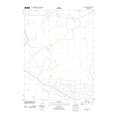 2010 Mellen Hill2010 Print · USGSMoffat County's high-desert landscape is captured here in the decade following the turn of the century. Researchers can trace the ranching and resource roads connecting Mellen Hill, Dripping Rock Reservoir, and the distinctive Coal Oil Gulch.
 - 2011 Map of Dinosaur, 2011 Print
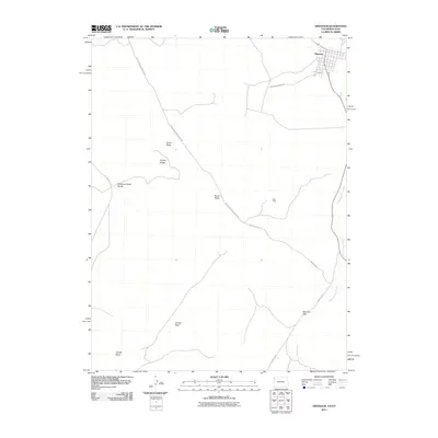 2011 Dinosaur2011 Print · USGSThe Colorado-Utah borderlands near the town of Dinosaur are captured here in a period of quiet high-desert isolation. Researchers can trace the paths of Snake John Reef Cutoff Rd and locate landmarks like the Rich Mine and Mormon Gap.
 - 2011 Map of Snake John Reef, 2011 Print
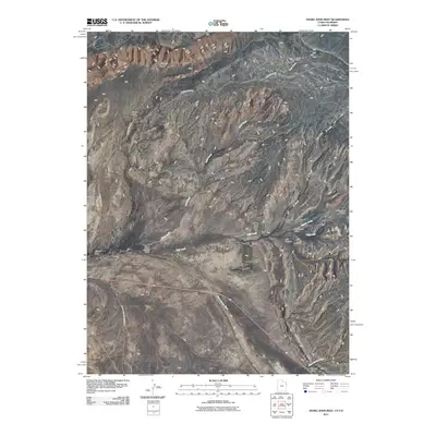 2011 Snake John Reef2011 Print · USGSThe Utah-Colorado borderlands are documented here just after the first decade of the millennium, showing a landscape of remote ranches and deep canyons. Researchers can locate isolated markers like Jensen Cabin, the K Ranch, and the long geological ridge of Snake John Reef.
 - 2013 Map of Dinosaur, 2013 Print
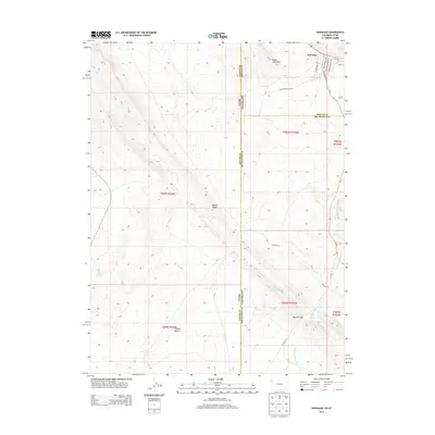 2013 Dinosaur2013 Print · USGSThe intersection of Utah and Colorado comes alive in the town of Dinosaur during the early twenty-first century. Researchers can trace the unique paleontological street names and follow regional landmarks like Raven Ridge and the winding Dripping Rock Creek.
 - 2013 Map of Mellen Hill, 2013 Print
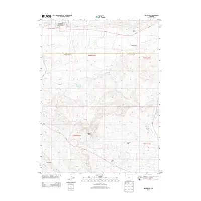 2013 Mellen Hill2013 Print · USGSThe high desert of northwestern Colorado meets industrial energy production in the early twenty-first century. Researchers can trace the interface of Dinosaur National Monument with the active Rangely Oil Field and Dripping Rock Reservoir.
 - 2014 Map of Snake John Reef, 2014 Print
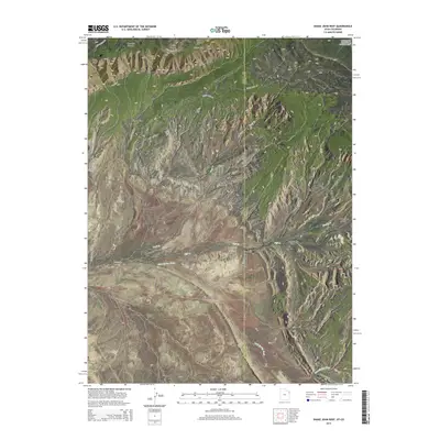 2014 Snake John Reef2014 Print · USGSThe high desert borderland of the Utah-Colorado line is captured here in the early twenty-first century, just as US-40 passes through the region. Trace the rugged geology of Snake John Reef and identify remote landmarks like Miners Draw and Cliff Cr.
 - 2016 Map of Dinosaur, 2016 Print
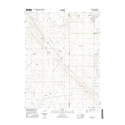 2016 Dinosaur2016 Print · USGSThe Colorado-Utah border region comes alive in this survey, showcasing the uniquely named town of Dinosaur and its surrounding desert topography. Researchers can trace the geological ridges and basins of the area, from Raven Ridge and Snake John Reef to the remote Coyote Basin.
 - 2016 Map of Mellen Hill, 2016 Print
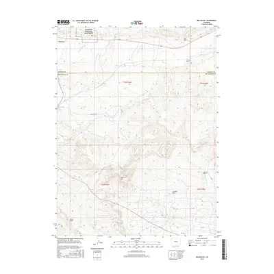 2016 Mellen Hill2016 Print · USGSDinosaur and the high-desert basins of the Colorado-Utah border appear here in the mid-2010s, capturing a landscape of deep draws and seasonal washes. Researchers can trace the drainage patterns of Twin Wash and Stinking Water Cr or locate landmarks like Mellen Hill and the Dripping Rock Reservoir.
 - 2017 Map of Snake John Reef, 2017 Print
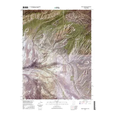 2017 Snake John Reef2017 Print · USGSThe high ridges and deep canyons of the Utah-Colorado borderland are documented here as they appeared in 2017. Researchers can trace remote routes like K Ranch Rd and explore the complex terrain of Snake John Reef and Cliff Ridge near the town of Dinosaur.
 - 2019 Map of Dinosaur, 2019 Print
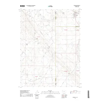 2019 Dinosaur2019 Print · USGSThe high desert landscape of the Colorado-Utah border is revealed here, centered on the unique town of Dinosaur in the late 2010s. Researchers can trace historic transit routes like the Old Bonanza Hwy and explore named geologic features such as Raven Ridge and Mormon Gap.
 - 2019 Map of Mellen Hill, 2019 Print
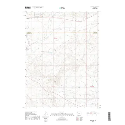 2019 Mellen Hill2019 Print · USGSThe high desert borderlands of Moffat and Rio Blanco counties are captured here in the late 2010s. Local researchers can trace the roads leading to the Dinosaur National Monument or locate features like the Dripping Rock Reservoir and Mellen Hill.
End of results
Showing maps 1-11 of 11
Top cities near Dinosaur
Frequently asked questions
- What are the different types of historical maps available for Dinosaur?
- What is the oldest map of Dinosaur?
- Where can I purchase historical maps of Dinosaur for my home or office?
- Where can I download high-res historical maps of Dinosaur?
- Are there historical topographic maps available for Dinosaur?
- Is there historical aerial imagery available for Dinosaur?
- Where are historical maps of Dinosaur sourced from?