2020s Maps of Rio Blanco County, Colorado
Explore 77 historic maps of Rio Blanco County from the 2020s. These maps offer a rare glimpse into what life looked like during the 2020s — showing old roads, neighborhoods, homes, and landmarks that have changed or disappeared over time.
Whether you're researching your family's past, planning a metal detecting trip, or studying how Rio Blanco County's landscape evolved across the 2020s, these high-resolution maps are a powerful tool for exploring the history of this region.
- Focus on a specific era: All maps on this page are from the 2020s, giving you a focused view of this time period.
- See what’s changed: Compare century-old streets, trails, and buildings to today's modern landscape using overlays and satellite layers.
- Research with precision: Use these maps for genealogy, historical research, land use analysis, or educational projects.
- View, download, or print: Maps are fully viewable online in high resolution, and can be downloaded or printed for your own records.
Start exploring Rio Blanco County's history through authentic maps from the 2020s. This is your window into the past.
Rio Blanco County, CO maps
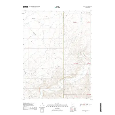
(77)- 2020 Map of Dragon, 2020 Print
 2020 Dragon2020 Print · USGSCovers Rio Blanco County, including Dragon, Uintah County, and other nearby areas
 - 2020 Map of Davis Canyon, 2020 Print
 2020 Davis Canyon2020 Print · USGSCovers Rio Blanco County, including Garfield County, Uintah County, and other nearby areas
 - 2020 Map of Weaver Ridge, 2020 Print
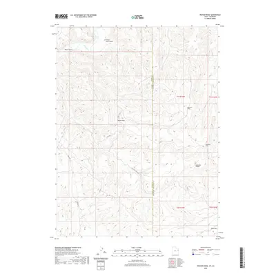 2020 Weaver Ridge2020 Print · USGSCovers Rio Blanco County, including Uintah County, United States, and other nearby areas
 - 2020 Map of Walsh Knolls, 2020 Print
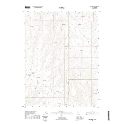
 2020 Walsh Knolls2020 Print · USGSCovers Rio Blanco County, including Uintah County, United States, and other nearby areas
 - 2022 Map of Meadow Creek Lake, 2022 Print
 2022 Meadow Creek Lake2022 Print · USGSGarfield and Rio Blanco counties are shown here as they appeared in the early 2020s, dominated by the high-country landscape of the White River National Forest. Genealogists and historians can trace seasonal movement through features like Meadow Creek Cow Camp and numerous named sites like Clark Cabin Spring.
 - 2022 Map of Red Elephant Point, 2022 Print
 2022 Red Elephant Point2022 Print · USGSWhite River National Forest lands in the early twenty-first century reveal a landscape of high mesas and remote trails. Trace historic routes like the Wagon Road and Ute Stock Driveway past landmarks like Howey Reservoir and Red Elephant Point.
 - 2022 Map of Segar Mountain, 2022 Print
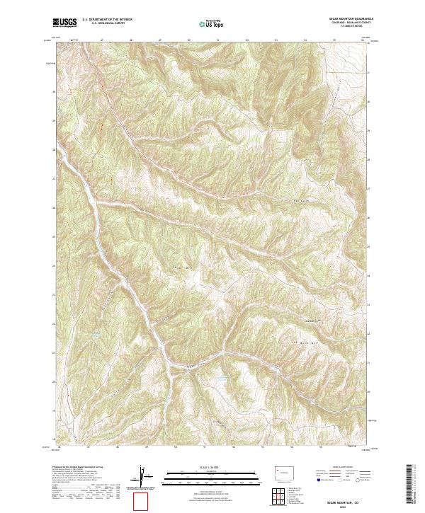 2022 Segar Mountain2022 Print · USGSRio Blanco County’s high-country terrain is documented here in the early twenty-first century, showing the intricate drainages of the Piceance Basin. Researchers can trace land use and water sources like Timber Gulch Spring Number 3 and the winding 1085 Hay Gulch Trl.
 - 2022 Map of Rio Blanco, 2022 Print
 2022 Rio Blanco2022 Print · USGSWestern Colorado's high plateau country is documented here in the early twenty-first century as it straddles the Garfield and Rio Blanco county line. Researchers can trace the drainage of Piceance Cr or locate high-altitude landmarks like Monument Peak and the Roan Cliffs.
 - 2022 Map of Texas Mountain, 2022 Print
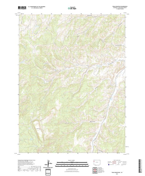 2022 Texas Mountain2022 Print · USGSRio Blanco County's high-plateau terrain is documented here in the early twenty-first century, showing a landscape defined by seasonal water and relief. Researchers can locate vital water points like Wild Rose Spring and trace cattle-country routes along Mail Box Draw.
 - 2022 Map of Thirteenmile Creek, 2022 Print
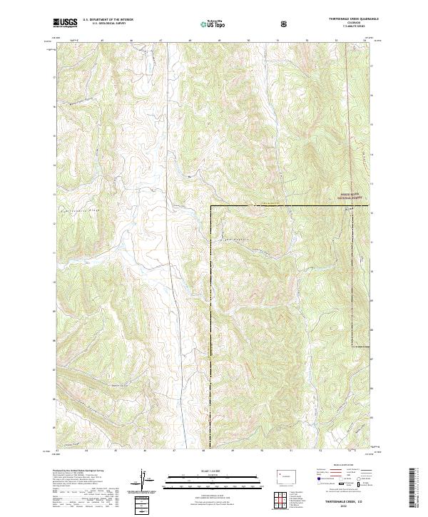 2022 Thirteenmile Creek2022 Print · USGSRio Blanco County at the start of the 2020s shows a landscape shaped by the White River National Forest and the Grand Hogback. Trace the winding paths of Thirteenmile Cr and Piceance Cr alongside local landmarks like Big Mtn and Davis Gulch.
 - 2022 Map of Water Canyon, 2022 Print
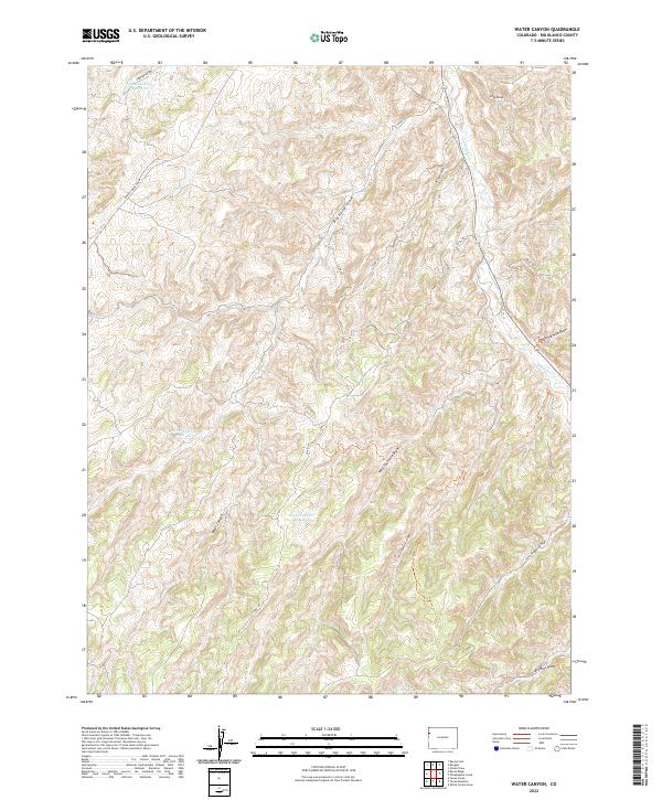 2022 Water Canyon2022 Print · USGSRio Blanco County's high desert landscape is shown in the early 2020s, a region defined by its vital water management systems and seasonal drainages. Researchers can trace the network of catchment points including Johnson Draw Reservoir, Big Horse Draw Reservoir, and the deep terrain of Water Canyon.
 - 2022 Map of McCarthy Gulch, 2022 Print
 2022 McCarthy Gulch2022 Print · USGSThe Rio Blanco and Garfield county line bisects this high-elevation terrain during the early 2020s, revealing a landscape carved by intricate drainage networks. Researchers can trace the winding paths of Piceance Ck and McCarthy Gulch or locate rural access points along CO RD 5.
 - 2022 Map of No Name Ridge, 2022 Print
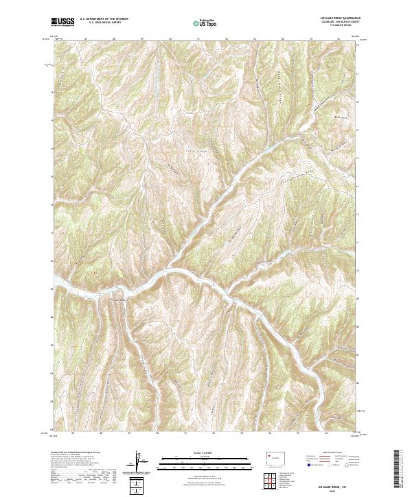 2022 No Name Ridge2022 Print · USGSRio Blanco County's interior plateau is revealed here in the modern era, showing the intricate drainages of the Piceance Basin. Researchers can trace land features and local access roads like CO RD 3 or explore the heights of No Name Ridge and Trail Ridge.
 - 2022 Map of Triangle Park, 2022 Print
 2022 Triangle Park2022 Print · USGSGarfield County’s high ridges and national forest lands are documented here in the early 2020s. Local history and outdoor enthusiasts can trace routes through Triangle Park or locate remote sites like Mud Springs Ranch and Coulter Lake.
 - 2022 Map of Blair Mountain, 2022 Print
 2022 Blair Mountain2022 Print · USGSGarfield and Rio Blanco counties are captured here in the high wilderness of the Colorado Plateau. You can trace the rugged topography of the White River Plateau and locate high-country landmarks like Blair Mountain, Clinetop Mesa, and Bison Lake.
 - 2022 Map of Bull Fork, 2022 Print
 2022 Bull Fork2022 Print · USGSThe Rio Blanco and Garfield county line passes through this high drainage system during the early twenty-first century. Researchers can trace the rugged watershed from Puddin Ridge to the headwaters of W Fork Parachute Cr and Whiskey Gulch.
 - 2022 Map of Wolf Ridge, 2022 Print
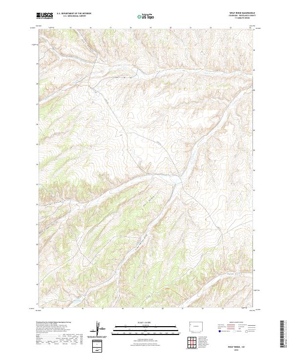 2022 Wolf Ridge2022 Print · USGSThe high country of Rio Blanco County comes into focus in this recent survey of the Colorado plateau. Researchers can trace the rugged drainage networks of Wolf Ridge, following the paths of Big Duck Creek and Corral Gulch through this remote terrain.
 - 2022 Map of Figure Four Spring, 2022 Print
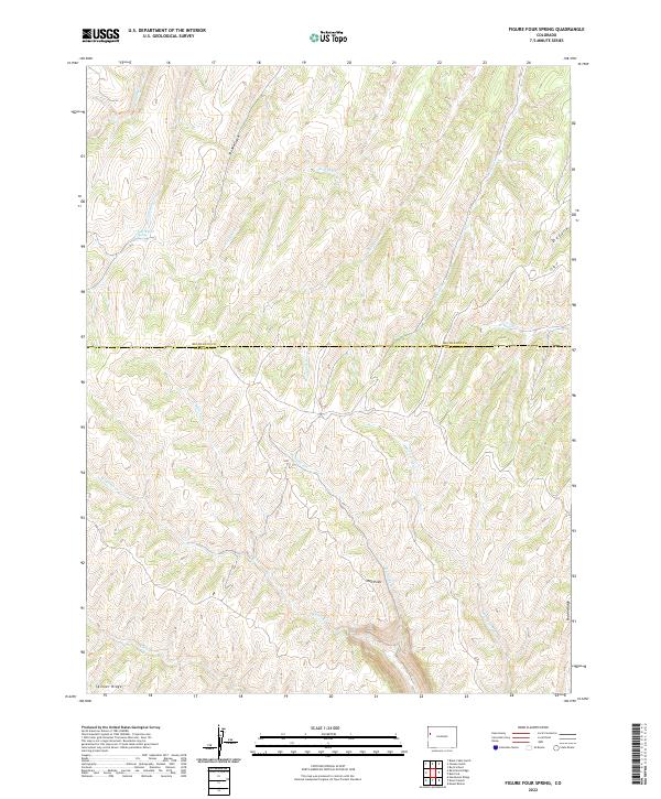 2022 Figure Four Spring2022 Print · USGSThe Rio Blanco and Garfield County line crosses this high-elevation landscape as it appeared in recent years. Researchers can trace the drainages of Yankee Gulch and Black Sulphur Cr toward landmarks like Figure Four Spring and Red Point.
 - 2022 Map of Razorback Ridge, 2022 Print
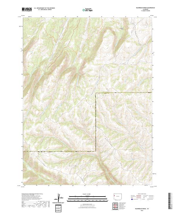 2022 Razorback Ridge2022 Print · USGSThe high plateau country along the Rio Blanco and Garfield county line is mapped here in the early twenty-first century. Researchers can trace the rugged drainages of Cathedral Cr and Black Sulphur Cr beneath the towering Cathedral Bluffs.
 - 2022 Map of Yankee Gulch, 2022 Print
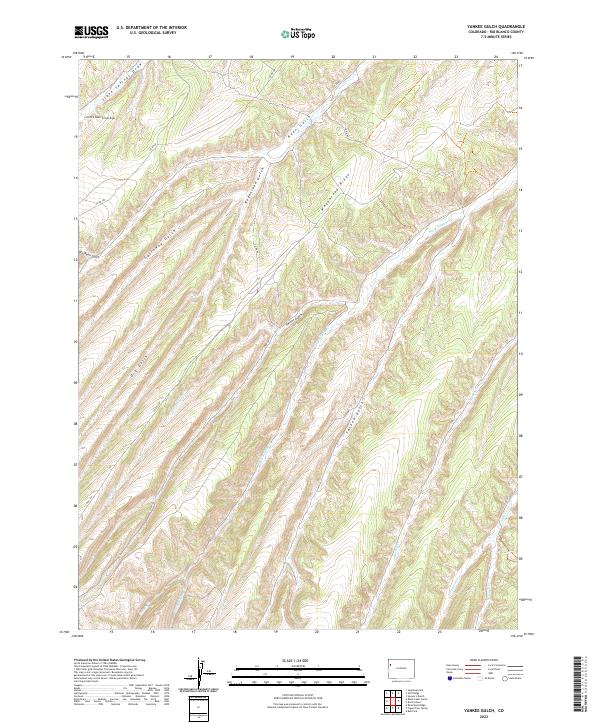 2022 Yankee Gulch2022 Print · USGSThe high-desert terrain of Rio Blanco County is captured here in the early twenty-first century, showing a remote landscape defined by deep draws and ridges. Trace the winding paths of Wagonroad Ridge, Yankee Gulch, and Black Sulphur Cr.
 - 2022 Map of Brushy Point, 2022 Print
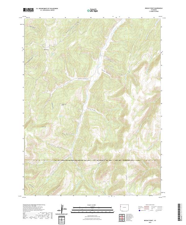 2022 Brushy Point2022 Print · USGSThe high plateau country along the Rio Blanco and Garfield county border remains a landscape of deep canyons and seasonal springs. Genealogists and historians can trace the remote geography of the western slope through landmarks like Scare Mtn, Pike Ridge, and Brushy Point Spring.
 - 2022 Map of Sagebrush Hill, 2022 Print
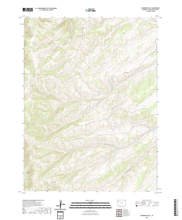 2022 Sagebrush Hill2022 Print · USGSRio Blanco County's high plateaus and deep gulches are captured here in the early twenty-first century. Researchers can trace the winding paths of CO RD 80 past landmarks like Sagebrush Hill and find vital water sources including Cottonwood Spring.
 - 2022 Map of Greasewood Gulch, 2022 Print
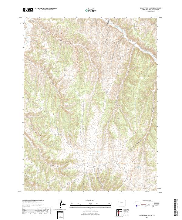 2022 Greasewood Gulch2022 Print · USGSRio Blanco County ranching and drainage lands appear in high detail during the early twenty-first century. Genealogists and researchers can trace family-named landmarks like Gardenhire Gulch and Collins Gulch or locate the vital Dark Canyon Spring.
 - 2022 Map of Texas Creek, 2022 Print
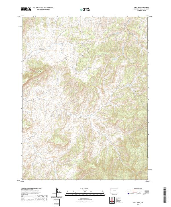 2022 Texas Creek2022 Print · USGSWestern Colorado's high-country drainages are captured in detail here during the early twenty-first century. Researchers can trace the water systems of Red Wash Reservoir and name local landmarks like Park Mtn and Missouri Cr.
 - 2022 Map of Big Foundation Creek, 2022 Print
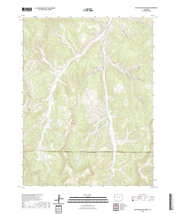 2022 Big Foundation Creek2022 Print · USGSThe high canyon country on the Rio Blanco and Garfield county line is meticulously documented in this contemporary survey. Geologists and outdoorsmen can trace the deep drainages of Big Foundation Cr and landmarks like Twin Buttes or Sawmill Canyon.
Showing maps 1-25 of 77
Top cities of Rio Blanco County
Frequently asked questions
- What are the different types of historical maps available for Rio Blanco County?
- What is the oldest map of Rio Blanco County?
- Where can I purchase historical maps of Rio Blanco County for my home or office?
- Where can I download high-res historical maps of Rio Blanco County?
- Are there historical topographic maps available for Rio Blanco County?
- Is there historical aerial imagery available for Rio Blanco County?
- Where are historical maps of Rio Blanco County sourced from?