2010s Maps of Rio Blanco County, Colorado
Explore 288 historic maps of Rio Blanco County from the 2010s. These maps offer a rare glimpse into what life looked like during the 2010s — showing old roads, neighborhoods, homes, and landmarks that have changed or disappeared over time.
Whether you're researching your family's past, planning a metal detecting trip, or studying how Rio Blanco County's landscape evolved across the 2010s, these high-resolution maps are a powerful tool for exploring the history of this region.
- Focus on a specific era: All maps on this page are from the 2010s, giving you a focused view of this time period.
- See what’s changed: Compare century-old streets, trails, and buildings to today's modern landscape using overlays and satellite layers.
- Research with precision: Use these maps for genealogy, historical research, land use analysis, or educational projects.
- View, download, or print: Maps are fully viewable online in high resolution, and can be downloaded or printed for your own records.
Start exploring Rio Blanco County's history through authentic maps from the 2010s. This is your window into the past.
Rio Blanco County, CO maps
(288)- 2010 Map of Rio Blanco, 2010 Print
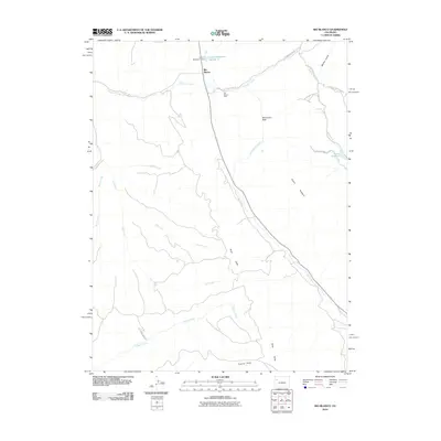 2010 Rio Blanco2010 Print · USGSGarfield County's high-desert canyons and industrial sites are captured here in the early twenty-first century. Researchers can trace the intersection of ranching and mining near Rio Blanco, following landmarks like the Rio Blanco Mine and the Grand Hogback.
 - 2010 Map of Texas Creek, 2010 Print
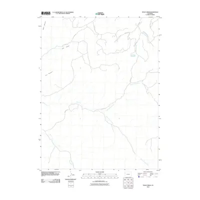 2010 Texas Creek2010 Print · USGSRio Blanco County in the early twenty-first century reveals a landscape shaped by water and high-plateau terrain. Researchers can trace remote routes like the Dragon Douglas Trl and identify vital water sources like the Red Wash Reservoir and Texas Creek.
 - 2010 Map of Banty Point, 2010 Print
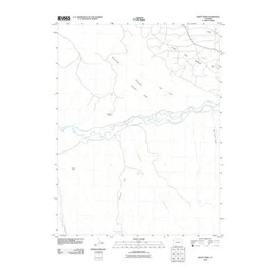 2010 Banty Point2010 Print · USGSThe White River country of western Colorado is documented here during the early twenty-first century as energy and mineral interests shaped the landscape. Researchers can trace the river's path past White River Cliff Mine and the remote outposts of California Camp and Texas Camp.
 - 2010 Map of Rangely NE, 2010 Print
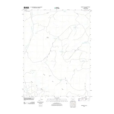 2010 Rangely NE2010 Print · USGSMoffat County's industrial and arid landscape is preserved here as it appeared in the early twenty-first century. Researchers can trace the water and mineral infrastructure that sustains the region, from the Blue Flame Mine to the Raven Basin Reservoir and Scullon Gulch.
 - 2010 Map of Water Canyon, 2010 Print
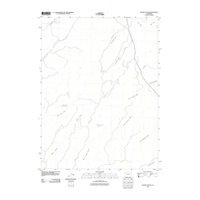 2010 Water Canyon2010 Print · USGSWestern Rio Blanco County's high-desert terrain is mapped here at the start of the 2010s, showing a landscape defined by seasonal water and remote access roads. Researchers can trace the drainage networks of Water Canyon and find isolated basins like Johnson Draw Reservoir and West Fourmile Reservoir.
 - 2010 Map of Mellen Hill, 2010 Print
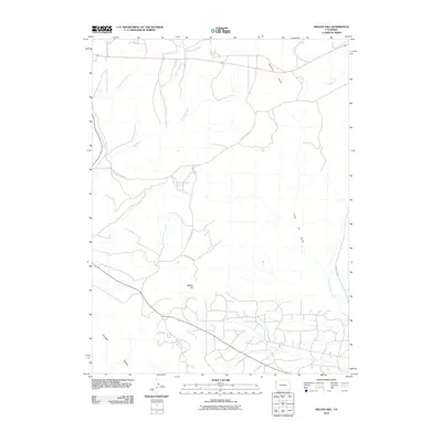 2010 Mellen Hill2010 Print · USGSMoffat County's high-desert landscape is captured here in the decade following the turn of the century. Researchers can trace the ranching and resource roads connecting Mellen Hill, Dripping Rock Reservoir, and the distinctive Coal Oil Gulch.
 - 2010 Map of Texas Mountain, 2010 Print
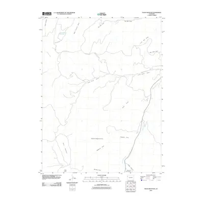 2010 Texas Mountain2010 Print · USGSRio Blanco County's high-country terrain is captured here at the start of the 2010s, showing a landscape defined by ranching access and seasonal waters. Researchers can trace remote routes like the Dragon Douglas Trl or locate the Water Canyon Reservoir and Texas Mountain.
 - 2010 Map of Indian Valley, 2010 Print
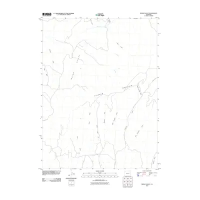 2010 Indian Valley2010 Print · USGSIndian Valley and the high plateaus of Rio Blanco County are shown here at the start of the twenty-first century. Researchers can trace energy industry footprints like an Oil Well or follow the complex terrain of Colorow Mountain and Tschuddi Gulch.
 - 2010 Map of White Coyote Draw, 2010 Print
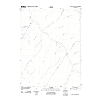 2010 White Coyote Draw2010 Print · USGSRio Blanco County in the early twenty-first century remains a landscape of deep canyons and seasonal draws centered on the confluence of the Douglas Creeks. Map collectors can trace the remote Brandy Ranch and follow the winding paths of White Coyote Draw and Pollock Canyon.
 - 2010 Map of Buckskin Point, 2010 Print
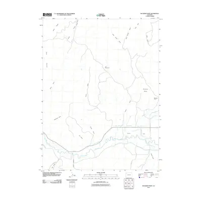 2010 Buckskin Point2010 Print · USGSRio Blanco County at the start of the 2010s shows a landscape defined by the White River and its critical irrigation systems. Genealogists and researchers can trace local landmarks like Powell Park and early water rights via the Powell Park Ditch and Hay Bretherton Ditch.
 - 2010 Map of Philadelphia Creek, 2010 Print
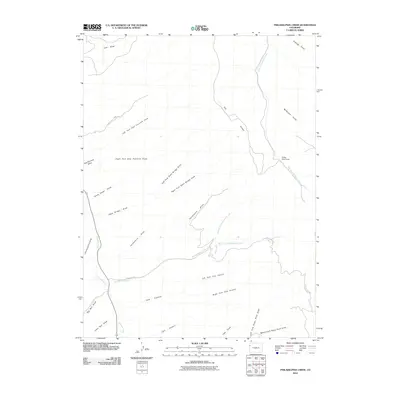 2010 Philadelphia Creek2010 Print · USGSRio Blanco County at the start of the 2010s remains a landscape defined by ranching heritage and deep canyons. Researchers can locate remote landmarks like Hefley Cow Camp or trace the winding paths of Douglas Creek and Philadelphia Creek.
 - 2010 Map of Rough Gulch, 2010 Print
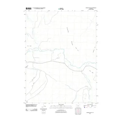 2010 Rough Gulch2010 Print · USGSRio Blanco County in 2010 shows a landscape of expansive plateaus and desert drainages centered on the White River. Researchers can trace the rugged topography of Pinyon Ridge and locate vital water sources like Lambert Spring and Stinking Spring.
 - 2010 Map of Greasewood Gulch, 2010 Print
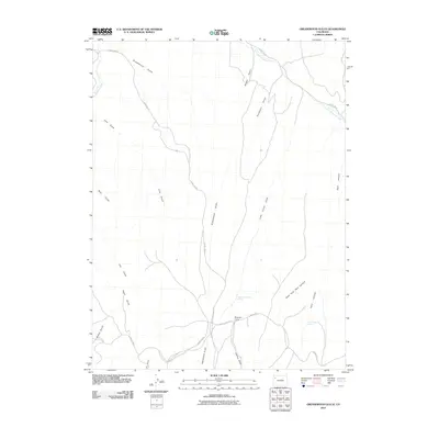 2010 Greasewood Gulch2010 Print · USGSRio Blanco County's high country is captured here in the early 21st century, showing a landscape defined by deep draws and isolated camps. Local historians can trace the paths of County Rd 76 and locate sites like Magnolia Camp and Dark Canyon Spring.
 - 2010 Map of Cactus Reservoir, 2010 Print
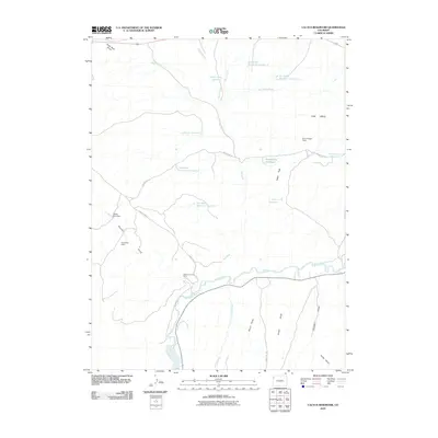 2010 Cactus Reservoir2010 Print · USGSRio Blanco County at the start of the decade reveals a specialized landscape of resource extraction and water management. Researchers can trace local industry and terrain through the Desperado Mine, Raven Park Dam, and the winding path of the White River.
 - 2010 Map of Barcus Creek SE, 2010 Print
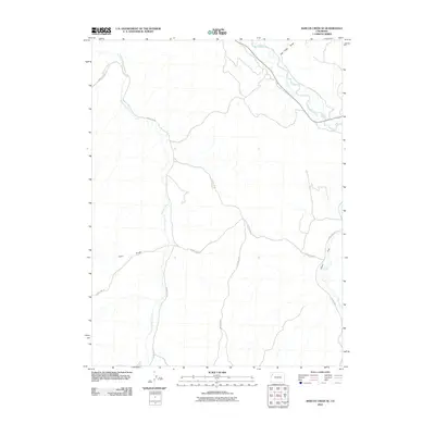 2010 Barcus Creek SE2010 Print · USGSThe Rio Blanco County backcountry is captured here during the early twenty-first century, showing a landscape defined by high-desert drainage. Researchers can trace the winding course of the White River and find named landmarks like Alkali Flat and Pinto Gulch.
 - 2010 Map of Jessup Gulch, 2010 Print
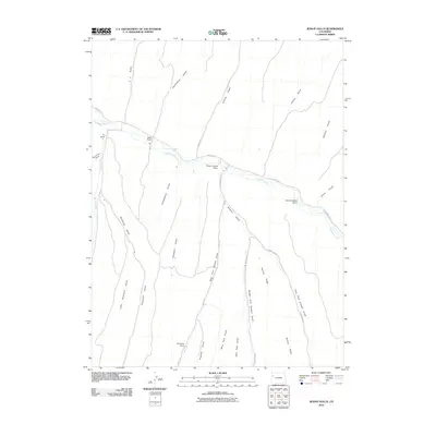 2010 Jessup Gulch2010 Print · USGSRio Blanco County ranchlands are captured here in the early twenty-first century, showing the enduring cattle-country heritage along Piceance Creek. Genealogists and local historians can locate specific family holdings like the Walter Oldland Ranch and Redd Ranch or trace the many branches of Stewart Gulch.
 - 2010 Map of Rock School, 2010 Print
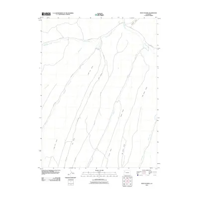 2010 Rock School2010 Print · USGSRio Blanco County's high-country drainages are captured here in the first decade of the new millennium. Researchers can trace the path of Black Sulphur Creek and locate remote landmarks like Big Jimmy Gulch or Enoch Gulch.
 - 2010 Map of Wolf Ridge, 2010 Print
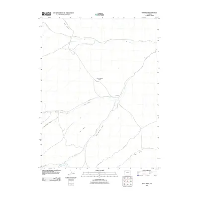 2010 Wolf Ridge2010 Print · USGSRio Blanco County ranch lands are documented here in the early twenty-first century, showing the remote settlement patterns of the high desert. Genealogists and historians can locate family landmarks like 84 Ranch, the historic Rock School, and the Tract C-A-84 Mesa Airstrip.
 - 2010 Map of Calamity Ridge, 2010 Print
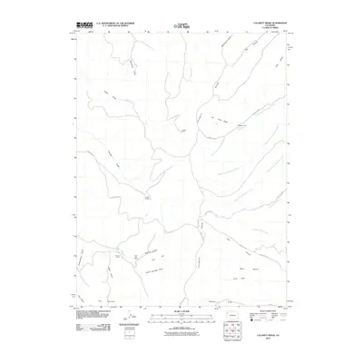 2010 Calamity Ridge2010 Print · USGSRio Blanco County's high-country terrain is documented here in the early twenty-first century, showing a landscape shaped by drainage and resource extraction. Researchers can locate remote outposts like Hegwer Cabin, the East Fork Mine, and landmarks like Calamity Ridge.
 - 2010 Map of Barcus Creek, 2010 Print
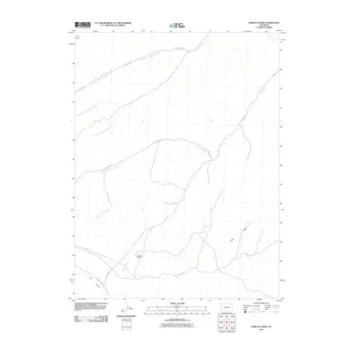 2010 Barcus Creek2010 Print · USGSRio Blanco County at the start of the decade reveals a vast network of desert drainages and ranching infrastructure. Trace the routes of North Barcus Creek and Yellow Creek or locate the remote Pinto Mesa Windmill.
 - 2010 Map of Square S Ranch, 2010 Print
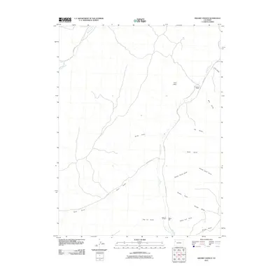 2010 Square S Ranch2010 Print · USGSRio Blanco County ranching lands are captured here in the early 2000s, centered on the Piceance Creek drainage. Researchers can locate the Square S Ranch and trace family history at the Miller Hill Cemetery near Dudley Bluffs.
 - 2010 Map of Banta Ridge, 2010 Print
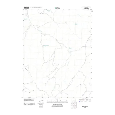 2010 Banta Ridge2010 Print · USGSRio Blanco County's high-desert terrain is shown here during the early twenty-first century, highlighting a landscape shaped by water management and arid-land ranching. Trace the network of upland water sources including Shavetail Reservoir, Banta Flats Reservoir, and the three reservoirs along Cottonwood Creek.
 - 2010 Map of Black Cabin Gulch, 2010 Print
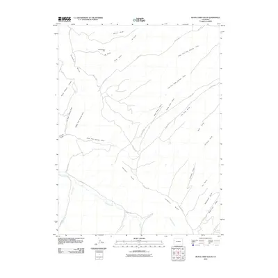 2010 Black Cabin Gulch2010 Print · USGSRio Blanco County at the start of the 2010s is a landscape defined by deep drainages and high-desert ridges. Researchers can trace the industrial history of the Cathedral Bluffs Mine and the winding paths of Black Cabin Gulch and Cathedral Creek.
 - 2010 Map of White River City, 2010 Print
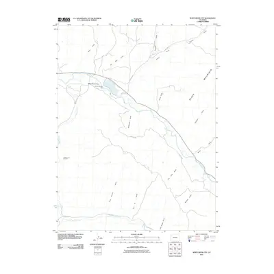 2010 White River City2010 Print · USGSWhite River City and the high-desert drainages of Rio Blanco County appear here in detail just over a decade ago. Researchers can trace land use and water features from Rio Blanco Lake and the Johnnie Johnson Dam to the USBM Number One Shaft.
 - 2010 Map of No Name Ridge, 2010 Print
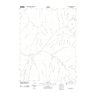 2010 No Name Ridge2010 Print · USGSRio Blanco County ranching and rugged drainages are the focus of this 2010 survey of the western Colorado high country. Researchers can trace land use through the Robinson Ranch and Cox Ranch or follow old paths along Trail Ridge and Goat Trail Ridge.
Showing maps 1-25 of 288
Top cities of Rio Blanco County
Frequently asked questions
- What are the different types of historical maps available for Rio Blanco County?
- What is the oldest map of Rio Blanco County?
- Where can I purchase historical maps of Rio Blanco County for my home or office?
- Where can I download high-res historical maps of Rio Blanco County?
- Are there historical topographic maps available for Rio Blanco County?
- Is there historical aerial imagery available for Rio Blanco County?
- Where are historical maps of Rio Blanco County sourced from?