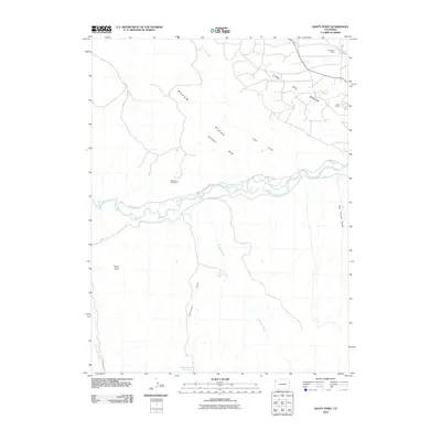
2010 Map of Banty Point
USGS Topo · Published 2010About this map
White River flows through the center of this Rio Blanco County landscape, carving a path between the elevated terrain of Raven Ridge and the broad depressions of the Coal Oil Basin. The geography is defined by its industrial and resource-extraction history, evidenced by the White River Cliff Mine and localized settlements like California Camp and Texas Camp. These sites, along with the numerous drainages such as Hardaway Draw and Coal Gulch, illustrate the relationship between the area's natural topography and its utility for energy and mineral activities.
Find a feature on this map
16 named features on this map. Tap any name to fly to it.
Don’t see what you’re looking for? This feature index may not catch every label — zoom into the map to look around manually.
Map Details
Editions of this 2010 Banty Point Map
This is the sole edition of this map. No revisions or reprints were ever made.
Other maps of this area

1885 · East Tavaputs
USGS Topo · 1:250,000

1885 · Ashley
USGS Topo · 1:250,000

1907 · Rangely
USGS Topo · 1:125,000

1907 · Jensen
USGS Topo · 1:125,000

1910 · Jensen
USGS Topo · 1:125,000

1910 · Rangely
USGS Topo · 1:125,000

1954 · Vernal
USGS Topo · 1:250,000

1956 · Grand Junction
USGS Topo · 1:250,000

1958 · Vernal
USGS Topo · 1:250,000

1959 · Grand Junction
USGS Topo · 1:250,000