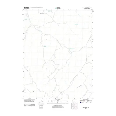
2010 Map of Banta Ridge
USGS Topo · Published 2010About this map
Banta Ridge and the Gilsonite Hills anchor this high-desert landscape in northwestern Colorado, where water management is the primary marker of human intervention. The terrain is defined by a series of engineered catchments along Cottonwood Creek, including the Lower Cottonwood Reservoir, Middle Cottonwood Reservoir, and Upper Cottonwood Reservoir. These features, along with the Banta Flats Reservoir and Shavetail Reservoir, illustrate the critical importance of water storage in an area drained by seasonal features like Shavetail Wash and Big Horse Draw.
Find a feature on this map
16 named features on this map. Tap any name to fly to it.
Don’t see what you’re looking for? This feature index may not catch every label — zoom into the map to look around manually.
Map Details
Editions of this 2010 Banta Ridge Map
This is the sole edition of this map. No revisions or reprints were ever made.
Other maps of this area

1885 · East Tavaputs
USGS Topo · 1:250,000

1885 · Ashley
USGS Topo · 1:250,000

1907 · Rangely
USGS Topo · 1:125,000

1907 · Jensen
USGS Topo · 1:125,000

1910 · Jensen
USGS Topo · 1:125,000

1910 · Rangely
USGS Topo · 1:125,000

1954 · Vernal
USGS Topo · 1:250,000

1956 · Grand Junction
USGS Topo · 1:250,000

1958 · Vernal
USGS Topo · 1:250,000

1959 · Grand Junction
USGS Topo · 1:250,000