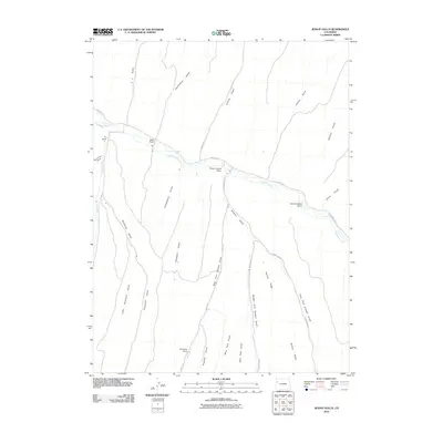
2010 Map of Jessup Gulch
USGS Topo · Published 2010About this map
Piceance Creek meanders through this portion of Rio Blanco County, defining a landscape dominated by ranching outposts and a complex drainage system of gulches and ridges. Established operations like the Walter Oldland Ranch, Gerald Oldland Ranch, and the P L Ranch are positioned along the primary watercourse and its arterial roads, including County Rd 5. The map documents a rugged cattle-country geography where seasonal camps, such as Redd Cow Camp, are tucked away near Prechtle Gulch.
Find a feature on this map
30 named features on this map. Tap any name to fly to it.
Don’t see what you’re looking for? This feature index may not catch every label — zoom into the map to look around manually.
Map Details
Editions of this 2010 Jessup Gulch Map
This is the sole edition of this map. No revisions or reprints were ever made.
Other maps of this area

1925 · Parachute Creek
USGS Topo · 1:62,500

1927 · Parachute Creek
USGS Topo · 1:62,500

1929 · Highmore
USGS Topo · 1:62,500

1952 · Rock School
USGS Topo · 1:24,000

1952 · Jessup Gulch
USGS Topo · 1:24,000

1952 · Greasewood Gulch
USGS Topo · 1:24,000

1952 · Square S Ranch
USGS Topo · 1:24,000

1952 · No Name Ridge
USGS Topo · 1:24,000

1952 · Segar Mountain
USGS Topo · 1:24,000

1956 · Grand Junction
USGS Topo · 1:250,000