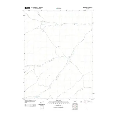
2010 Map of Wolf Ridge
USGS Topo · Published 2010About this map
Wolf Ridge and the surrounding high desert of Rio Blanco County are defined by a network of drainage gulches and isolated ranching outposts. The landscape's cattle-ranching legacy is anchored by 84 Ranch and Square S Ranch, while the presence of Rock School speaks to the historical infrastructure of this sparsely populated region. A complex system of county roads, including County Rd 91 and County Rd 24, traces the natural contours of the terrain, often following the paths of seasonal watercourses like Corral Gulch and Yellow Creek. Specialized infrastructure is evident at the Tract C-A-84 Mesa Airstrip, situated on the high ground between Duck Creek and the southern draws. The area's hydrology is marked by natural points such as Stake Springs, which provides a rare water source in a territory characterized by deep canyons like Trail Canyon and sweeping ridges.
Find a feature on this map
22 named features on this map. Tap any name to fly to it.
Don’t see what you’re looking for? This feature index may not catch every label — zoom into the map to look around manually.
Map Details
Editions of this 2010 Wolf Ridge Map
This is the sole edition of this map. No revisions or reprints were ever made.
Other maps of this area

1907 · Rangely
USGS Topo · 1:125,000

1907 · White River
USGS Topo · 1:125,000

1910 · White River
USGS Topo · 1:125,000

1910 · Rangely
USGS Topo · 1:125,000

1952 · Wolf Ridge
USGS Topo · 1:24,000

1952 · Yankee Gulch
USGS Topo · 1:24,000

1952 · Rock School
USGS Topo · 1:24,000

1952 · Square S Ranch
USGS Topo · 1:24,000

1954 · Vernal
USGS Topo · 1:250,000

1956 · Grand Junction
USGS Topo · 1:250,000