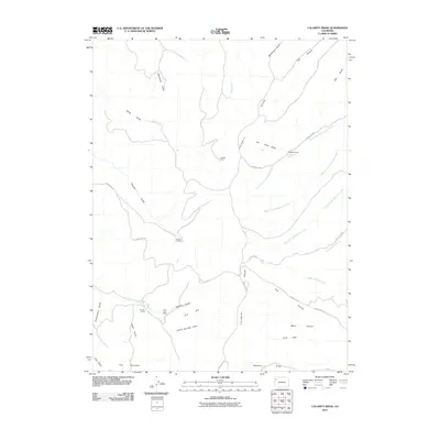
2010 Map of Calamity Ridge
USGS Topo · Published 2010About this map
Calamity Ridge dominates this high-altitude landscape in Rio Blanco County, where a network of seasonal draws and gulches defines the local geography. The map identifies specific human habitations and seasonal outposts, such as Hegwer Cabin, Caldwell Camp, and Beard Cabin, which point to the area's history of cattle ranching or mineral exploration. The presence of the East Fork Mine near East Fork Spring Creek indicates the localized industrial efforts that shaped this part of the Western Slope.
Find a feature on this map
40 named features on this map. Tap any name to fly to it.
Don’t see what you’re looking for? This feature index may not catch every label — zoom into the map to look around manually.
Map Details
Editions of this 2010 Calamity Ridge Map
This is the sole edition of this map. No revisions or reprints were ever made.
Other maps of this area

1907 · Rangely
USGS Topo · 1:125,000

1907 · White River
USGS Topo · 1:125,000

1910 · White River
USGS Topo · 1:125,000

1910 · Rangely
USGS Topo · 1:125,000

1952 · Wolf Ridge
USGS Topo · 1:24,000

1954 · Vernal
USGS Topo · 1:250,000

1956 · Grand Junction
USGS Topo · 1:250,000

1958 · Vernal
USGS Topo · 1:250,000

1959 · Grand Junction
USGS Topo · 1:250,000

1960 · Vernal
USGS Topo · 1:250,000