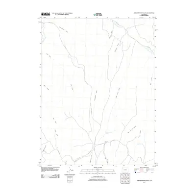
2010 Map of Greasewood Gulch
USGS Topo · Published 2010About this map
Magnolia Camp serves as a lone named point of settlement within this drainage-carved landscape of Rio Blanco County. The area is defined by a dense network of water-cut features, most notably Greasewood Gulch and the winding course of Piceance Creek. Transportation in this part of the Western Slope relies on a system of county routes, including County Rd 78 and County Hwy 3A, which navigate the high ground between numerous deep draws.
Find a feature on this map
24 named features on this map. Tap any name to fly to it.
Don’t see what you’re looking for? This feature index may not catch every label — zoom into the map to look around manually.
Map Details
Editions of this 2010 Greasewood Gulch Map
This is the sole edition of this map. No revisions or reprints were ever made.
Other maps of this area

1907 · White River
USGS Topo · 1:125,000

1910 · White River
USGS Topo · 1:125,000

1952 · Rock School
USGS Topo · 1:24,000

1952 · Jessup Gulch
USGS Topo · 1:24,000

1952 · Greasewood Gulch
USGS Topo · 1:24,000

1952 · Square S Ranch
USGS Topo · 1:24,000

1952 · No Name Ridge
USGS Topo · 1:24,000

1952 · Segar Mountain
USGS Topo · 1:24,000

1954 · Vernal
USGS Topo · 1:250,000

1956 · Grand Junction
USGS Topo · 1:250,000