2000s (21st Century) Maps of Middlebury, Connecticut
Explore 20 historic maps of Middlebury from the 2000s (21st Century). These maps offer a rare glimpse into what life looked like during the 2000s — showing old roads, neighborhoods, homes, and landmarks that have changed or disappeared over time.
Whether you're researching your family's past, planning a metal detecting trip, or studying how Middlebury's landscape evolved across the 2000s, these high-resolution maps are a powerful tool for exploring the history of this region.
- Focus on a specific era: All maps on this page are from the 2000s, giving you a focused view of this time period.
- See what’s changed: Compare century-old streets, trails, and buildings to today's modern landscape using overlays and satellite layers.
- Research with precision: Use these maps for genealogy, historical research, land use analysis, or educational projects.
- View, download, or print: Maps are fully viewable online in high resolution, and can be downloaded or printed for your own records.
Start exploring Middlebury's history through authentic maps from the 2000s. This is your window into the past.
Middlebury, CT maps
(20)- 2012 Map of Woodbury, 2012 Print
 2012 Woodbury2012 Print · USGSCovers Middlebury, including Watertown, Southbury, and other nearby areas
 - 2012 Map of Southbury, 2012 Print
 2012 Southbury2012 Print · USGSCovers Middlebury, including Shelton, Southbury, and other nearby areas
 - 2012 Map of Naugatuck, 2012 Print
 2012 Naugatuck2012 Print · USGSCovers Middlebury, including Naugatuck, Seymour, and other nearby areas
 - 2012 Map of Waterbury, 2012 Print
 2012 Waterbury2012 Print · USGSCovers Middlebury, including Waterbury, Naugatuck, and other nearby areas
 - 2015 Map of Woodbury, 2015 Print
 2015 Woodbury2015 Print · USGSCovers Middlebury, including Watertown, Southbury, and other nearby areas
 - 2015 Map of Southbury, 2015 Print
 2015 Southbury2015 Print · USGSCovers Middlebury, including Shelton, Southbury, and other nearby areas
 - 2015 Map of Naugatuck, 2015 Print
 2015 Naugatuck2015 Print · USGSCovers Middlebury, including Naugatuck, Seymour, and other nearby areas
 - 2015 Map of Waterbury, 2015 Print
 2015 Waterbury2015 Print · USGSCovers Middlebury, including Waterbury, Naugatuck, and other nearby areas
 - 2018 Map of Southbury, 2018 Print
 2018 Southbury2018 Print · USGSCovers Middlebury, including Shelton, Southbury, and other nearby areas
 - 2018 Map of Naugatuck, 2018 Print
 2018 Naugatuck2018 Print · USGSCovers Middlebury, including Naugatuck, Seymour, and other nearby areas
 - 2018 Map of Woodbury, 2018 Print
 2018 Woodbury2018 Print · USGSCovers Middlebury, including Watertown, Southbury, and other nearby areas
 - 2018 Map of Waterbury, 2018 Print
 2018 Waterbury2018 Print · USGSCovers Middlebury, including Waterbury, Naugatuck, and other nearby areas
 - 2021 Map of Woodbury, 2021 Print
 2021 Woodbury2021 Print · USGSCovers Middlebury, including Watertown, Southbury, and other nearby areas
 - 2021 Map of Waterbury, 2021 Print
 2021 Waterbury2021 Print · USGSCovers Middlebury, including Waterbury, Naugatuck, and other nearby areas
 - 2021 Map of Southbury, 2021 Print
 2021 Southbury2021 Print · USGSCovers Middlebury, including Shelton, Southbury, and other nearby areas
 - 2021 Map of Naugatuck, 2021 Print
 2021 Naugatuck2021 Print · USGSCovers Middlebury, including Naugatuck, Seymour, and other nearby areas
 - 2024 Map of Woodbury, 2024 Print
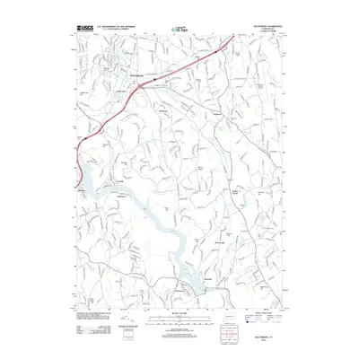
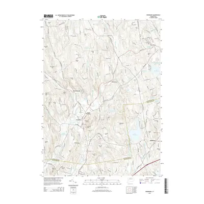
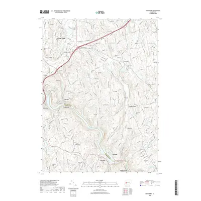
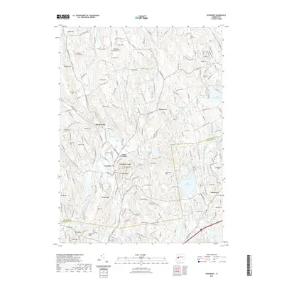
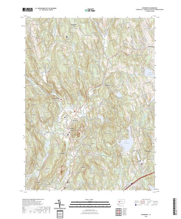 2024 Woodbury2024 Print · USGSThe Litchfield area in the 2020s remains a landscape of historic river valleys and rising hills. Researchers can trace local heritage at White Oak Cem, the Benedictine Abbey of Regina, and through the centers of Bethlehem Village and North Woodbury.
 - 2024 Map of Southbury, 2024 Print
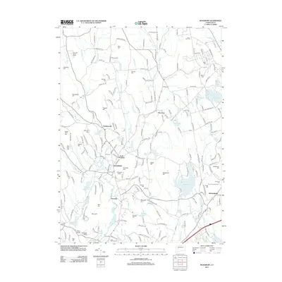
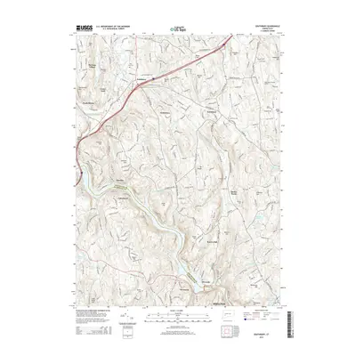
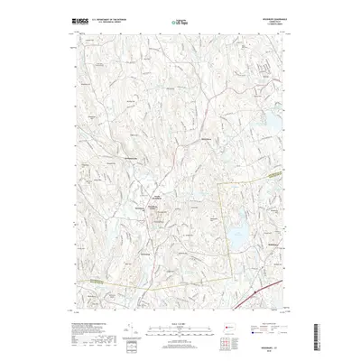
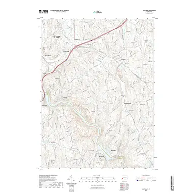
 2024 Southbury2024 Print · USGSNew Haven County highlands and the Housatonic River valley are shown here in modern detail. Genealogists and local historians can trace family-named hills and old burial grounds like Pine Hill Cem and Hillside Cem near Quaker Farms.
 - 2024 Map of Naugatuck, 2024 Print
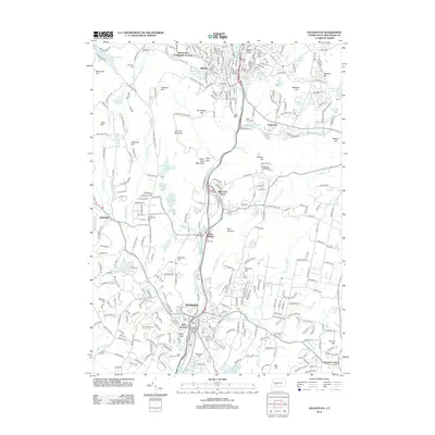
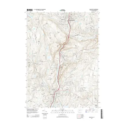
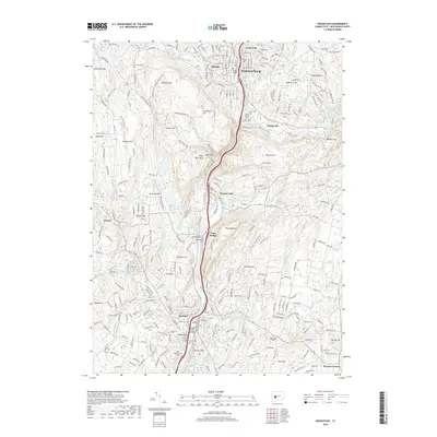
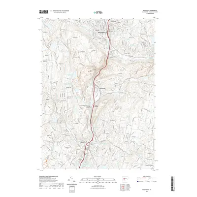
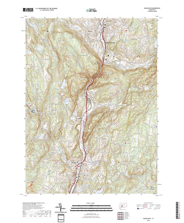 2024 Naugatuck2024 Print · USGSThe Naugatuck River valley is captured in its modern configuration, showing a dense network of industrial centers and hillside residential growth. Researchers can locate numerous historic burial grounds like Guntown Cem and Saint James Cem or trace the path of the Larkin Bridle Tr.
 - 2024 Map of Waterbury, 2024 Print
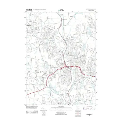
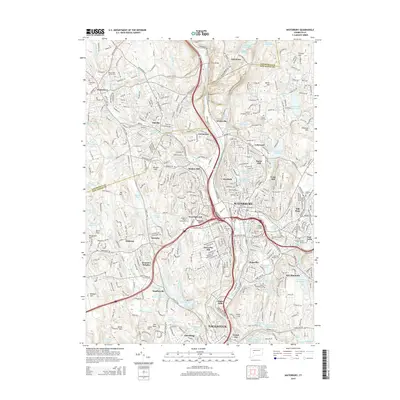
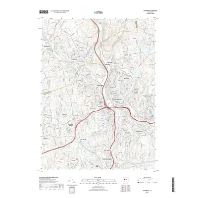
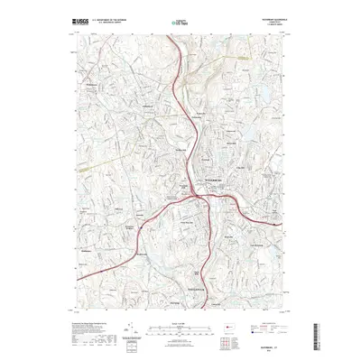
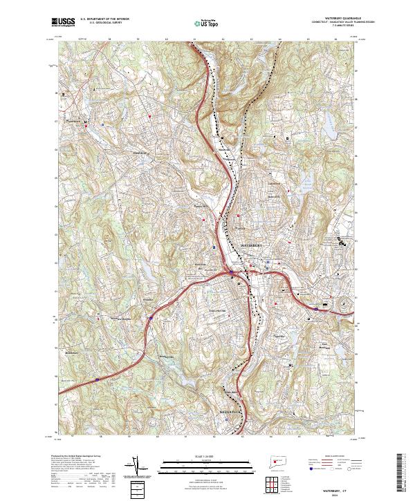 2024 Waterbury2024 Print · USGSModern-day Waterbury and the Naugatuck Valley are shown here in a period of significant urban density and infrastructure development. Researchers can trace local genealogy and institutional history through Holy Land Cem, Post University, and the Waterbury Courthouse.
End of results
Showing maps 1-20 of 20
Top cities near Middlebury
- New Haven historical maps
- Waterbury historical maps
- Bristol historical maps
- Hamden historical maps
- West Haven historical maps
- Southington historical maps
See more
Top neighborhoods of Middlebury
- Hillcrest historical maps
- Westview Heights historical maps
- Bradleyville historical maps
- Oronoke historical maps
- Middlebury Center Historic District historical maps
Frequently asked questions
- What are the different types of historical maps available for Middlebury?
- What is the oldest map of Middlebury?
- Where can I purchase historical maps of Middlebury for my home or office?
- Where can I download high-res historical maps of Middlebury?
- Are there historical topographic maps available for Middlebury?
- Is there historical aerial imagery available for Middlebury?
- Where are historical maps of Middlebury sourced from?