Old Maps of Torrington, Connecticut for Hiking & Exploration
Hike through history with 40 historic maps of Torrington. Explore old trails, ghost towns, and forgotten backroads — perfect for outdoor adventurers and local explorers.
- Rediscover forgotten places: Map out old mining camps, roads, and footpaths that no longer exist on modern maps.
- Layer with modern tools: Combine with LiDAR or satellite views to plan hikes through historical terrain.
- Made for exploration: Popular among hikers, overlanders, and local history lovers.
Use these maps to find adventure and explore the hidden past of Torrington.
Torrington, CT maps
(40)- 1892 Map of Winsted
 1892 Winsted1892 Print · USGSLitchfield County's industrial valleys and upland villages are captured here in the late nineteenth century, during the peak of the region's railroad era. Researchers can trace historic property locations and rail spurs in Winsted, Torrington, and along the shores of Highland Lake.10 unique versions available
 - 1904 Map of Litchfield
 1904 Litchfield1904 Print · USGSThe Litchfield Hills at the turn of the century are shown here as a landscape of iron heritage and river-powered industry. Genealogists and historians can locate old industrial sites like Kent Furnace, ancestral homes near Sharon Valley, and early rail stops at Limerock Sta..3 unique versions available
 - 1947 Map of Hartford, 1955 Print
 1947 Hartford1955 Print · USGSSouthern New England and the Hudson Valley are shown in detail during the post-war expansion era. Genealogists and researchers can trace local landmarks from the State Capitol and Yale University to the Stratford Lighthouse and Woodlawn Cem.2 unique versions available
 - 1948 Map of Hartford
 1948 Hartford1948 Print · USGSSouthern New England is captured here in the late 1940s, showcasing a landscape of thriving industrial cities and developing parkways. Genealogists and historians can trace the rail networks of the New York New Haven and Hartford RR or locate coastal defense sites like Fort Terry and Camp Shanks.2 unique versions available
 - 1948 Map of Torrington, 1955 Print
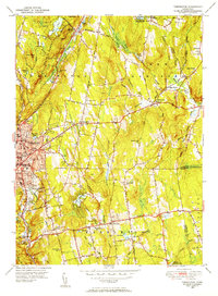 1948 Torrington1955 Print · USGSLitchfield County's industrial and rural heart comes alive in this post-war survey of Torrington and its surrounding hill towns. Genealogists and historians can trace family locations near Hillside Cemetery, the Torringford Ch, and the outlying settlement of Bakersville.
 - 1948 Map of Winsted, 1956 Print
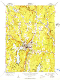 1948 Winsted1956 Print · USGSMid-century Winsted and the surrounding hill towns are captured here at a peak of rail and river-based industry. Genealogists can locate family sites at St Joseph Cem, trace the grounds of The Little Red Schoolhouse, or explore the many summer camps like Camp Wahanda.
 - 1951 Map of Winsted
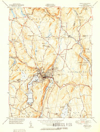 1951 Winsted1951 Print · USGSLitchfield County's industrial valleys and summer camps are captured here in the early fifties. Genealogists and historians can trace the New York New Haven and Hartford rail corridor or locate The Little Red Schoolhouse and Barkhamsted Lighthouse.2 unique versions available
 - 1951 Map of Torrington
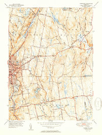 1951 Torrington1951 Print · USGSTorrington and Harwinton appear at a mid-century peak of industrial activity and rural transition. Genealogists can trace family names at Hillside Cemetery, locate the old Harwinton Sch, or find local landmarks like Turtle Rock.2 unique versions available
 - 1951 Map of West Torrington
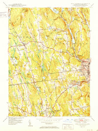 1951 West Torrington1951 Print · USGSLitchfield County in the early fifties shows a landscape of historic hilltop farms and growing educational institutions. Trace local history at the John Browns Birthplace (Ruins) or find family roots in the Old Middle Street Cem and Newfield Cem.2 unique versions available
 - 1951 Map of Norfolk
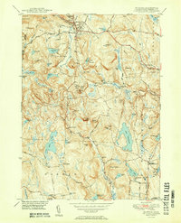 1951 Norfolk1951 Print · USGSThe Litchfield County foothills in the early fifties show a quiet landscape of mountain parks and scattered farmsteads. Researchers can trace old family burial grounds like Grantville Cem and find vanished rural nodes like the Winchester Center PO.2 unique versions available
 - 1956 Map of Norfolk, 1958 Print
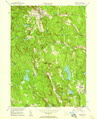 1956 Norfolk1958 Print · USGSLitchfield County's upland terrain is captured here in the mid-fifties, showing the rural character of Norfolk and Winchester. Genealogists can trace family names through sites like Winchester Center PO, Grantville Cem, and South Norfolk.4 unique versions available
 - 1956 Map of Winsted, 1958 Print
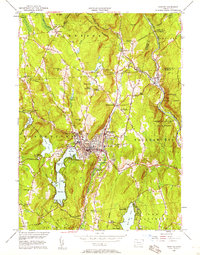 1956 Winsted1958 Print · USGSMid-century Litchfield County is centered here on the industrial hub of Winsted and the recreation-rich Highland Lake. Genealogists and historians can locate The Little Red Schoolhouse, the Old North Road Burying Ground, and the nascent Hogsback Dam.7 unique versions available
 - 1956 Map of Torrington, 1958 Print
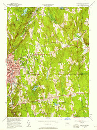 1956 Torrington1958 Print · USGSTorrington and Harwinton appear here in the mid-fifties, showing a landscape defined by industrial river corridors and expanding residential hills. Genealogists can locate family sites at Hillside Cemetery, Sons of Jacob Cem, or the old Wolcott Sch.5 unique versions available
 - 1956 Map of West Torrington, 1958 Print
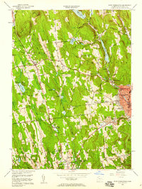 1956 West Torrington1958 Print · USGSThe Litchfield Hills in the mid-fifties show a unique mix of industrial river valleys and remote upland institutions. Genealogists can trace family plots at Old Middle Street Cem and explore landmark ruins like John Browns Birthplace.5 unique versions available
 - 1961 Map of Hartford
 1961 Hartford1961 Print · USGSSouthern New England and the Hudson Valley are shown here in the mid-fifties, capturing a landscape of booming coastal cities and interior hill towns. Researchers can trace the legacy of the New York New Haven and Hartford rail corridor and find strategic sites like Camp Shanks and Fort Michie.
 - 1962 Map of Hartford, 1971 Print
 1962 Hartford1971 Print · USGSSouthern New England and the Hudson Valley are shown in the early sixties, as suburban growth reached into the foothills. Trace the path of the New York New Haven & Hartford RR and find landmarks like Camp Nathan Hale and Gillette Castle State Park.3 unique versions available
 - 1965 Map of Hartford
 1965 Hartford1965 Print · USGSSouthern New England and the Hudson Valley are shown here during the mid-sixties expansion of the Interstate era. Trace the path of the New York New Haven & Hartford RR or locate historic landmarks like West Point Military Reservation and the Merritt Parkway.2 unique versions available
 - 1965 Map of Norfolk, 1971 Print
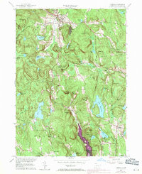 1965 Norfolk1971 Print · USGSLitchfield County's uplands are seen here in the mid-1960s, showing a transition from traditional rural hamlets to a landscape of state forests and summer camps. Genealogists can locate family sites near Winchester Center PO, Kelly Corner, and the Hall Meadow Cem.
 - 1985 Map of Waterbury, 1986 Print
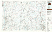 1985 Waterbury1986 Print · USGSThe Western Connecticut highlands and the Hudson Valley are captured in the mid-1980s, showing a landscape of deep forests and industrial river towns. Genealogists can trace family connections from Waterbury up through Litchfield and Torrington, while exploring the vast Barkhamsted Reservoir and Candlewood Lake basins.
 - 1993 Map of Waterbury
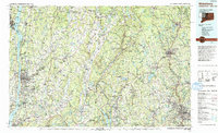 1993 Waterbury1993 Print · USGSWestern Connecticut and the Hudson Valley appear in the early nineties as a landscape of established industrial cities and deep forest preserves. Researchers can trace the rail corridors of the Metro-North Railroad or locate family sites near the Taft School and Riverside Cemetery.
 - 2012 Map of Torrington, 2012 Print
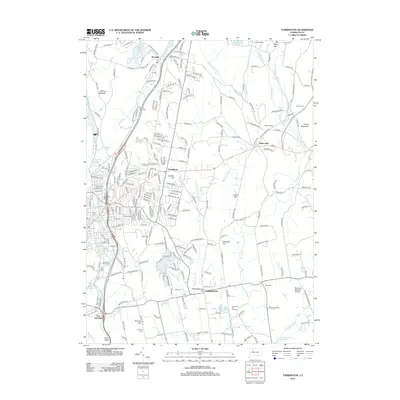 2012 Torrington2012 Print · USGSThe Litchfield Hills transition from industrial river valleys to quiet upland townships in the early twenty-first century. Researchers can locate numerous local cemeteries like Sons of Jacob Cem or trace the rural character of Meetinghouse Hill and Bakersville.
 - 2012 Map of West Torrington, 2012 Print
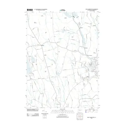 2012 West Torrington2012 Print · USGSNorthwest Connecticut in the early twenty-first century reveals a landscape shaped by high peaks and historic valley settlements. Genealogists and hikers can trace the geography of Goshen, find several family burial sites like Newfield Cem, or explore the shores of Stillwater Pond.
 - 2012 Map of Winsted, 2012 Print
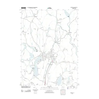 2012 Winsted2012 Print · USGSLitchfield County's varied terrain is captured here in the early twenty-first century, showing the evolved landscape of Winsted and its surrounding hills. Genealogists and hikers can trace old family plots at the Old North Road Burying Ground or locate the overlooks at Chaugham Lookout.
 - 2012 Map of Norfolk, 2012 Print
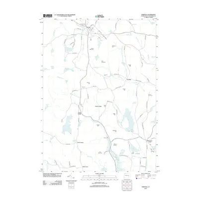 2012 Norfolk2012 Print · USGSLitchfield County's upland terrain is shown here in the early twenty-first century, featuring a landscape of mountain ridges and historic cemeteries. Genealogists can locate family sites like Hurlbut Cem or South Cem and trace old routes such as the Old Waterbury Tpke.
 - 2015 Map of Winsted, 2015 Print
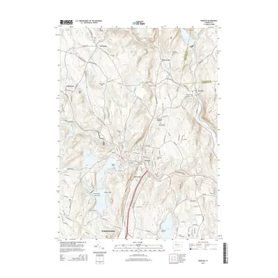 2015 Winsted2015 Print · USGSThe Litchfield hills around Winsted and Colebrook are mapped here in the mid-2010s, showing a landscape of deep river valleys and reservoirs. Genealogists can locate several historic burial sites like South Cem and the Old North Road Burying Ground.
Showing maps 1-25 of 40
Top cities near Torrington
- Waterbury historical maps
- Bristol historical maps
- Southington historical maps
- Farmington historical maps
- Watertown historical maps
- Avon historical maps
See more
Top neighborhoods of Torrington
- Burrville historical maps
- Torringford historical maps
- Drakeville historical maps
- West Torrington historical maps
- Wrightville historical maps
- Newberry Corner historical maps
See more
Frequently asked questions
- What are the different types of historical maps available for Torrington?
- What is the oldest map of Torrington?
- Where can I purchase historical maps of Torrington for my home or office?
- Where can I download high-res historical maps of Torrington?
- Are there historical topographic maps available for Torrington?
- Is there historical aerial imagery available for Torrington?
- Where are historical maps of Torrington sourced from?