2000s (21st Century) Maps of Delaware
Explore 285 historic maps of Delaware from the 2000s (21st Century). These maps offer a rare glimpse into what life looked like during the 2000s — showing old roads, neighborhoods, homes, and landmarks that have changed or disappeared over time.
Whether you're researching your family's past, planning a metal detecting trip, or studying how Delaware's landscape evolved across the 2000s, these high-resolution maps are a powerful tool for exploring the history of this region.
- Focus on a specific era: All maps on this page are from the 2000s, giving you a focused view of this time period.
- See what’s changed: Compare century-old streets, trails, and buildings to today's modern landscape using overlays and satellite layers.
- Research with precision: Use these maps for genealogy, historical research, land use analysis, or educational projects.
- View, download, or print: Maps are fully viewable online in high resolution, and can be downloaded or printed for your own records.
Start exploring Delaware's history through authentic maps from the 2000s. This is your window into the past.
Delaware maps
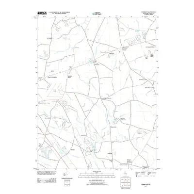
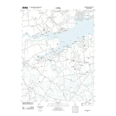
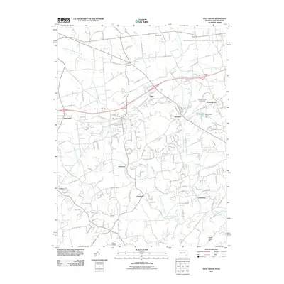
(285)- 2011 Map of Penns Grove, 2011 Print
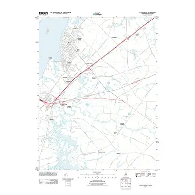 2011 Penns Grove2011 Print · USGSCovers Delaware, including Wilmington, Pennsville Township, and other nearby areas
 - 2011 Map of Delaware City, 2011 Print
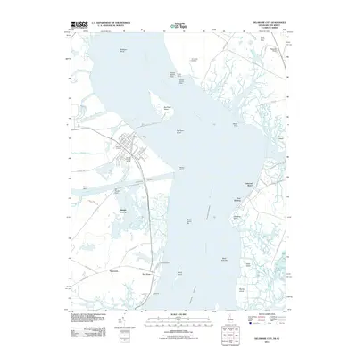 2011 Delaware City2011 Print · USGSCovers Delaware, including Pennsville Township, Lower Alloways Creek Township, and other nearby areas
 - 2011 Map of Canton, 2011 Print
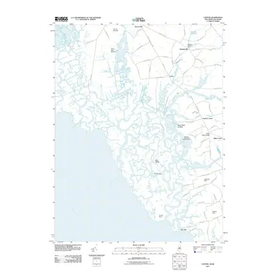 2011 Canton2011 Print · USGSCovers Delaware, including Quinton Township, Lower Alloways Creek Township, and other nearby areas
 - 2011 Map of Wilmington South, 2011 Print
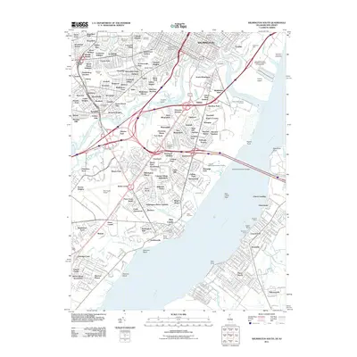 2011 Wilmington South2011 Print · USGSCovers Delaware, including Wilmington, Pennsville Township, and other nearby areas
 - 2011 Map of Taylors Bridge, 2011 Print
 2011 Taylors Bridge2011 Print · USGSCovers Delaware, including Lower Alloways Creek Township, The Island, and other nearby areas
 - 2011 Map of Bethany Beach, 2011 Print
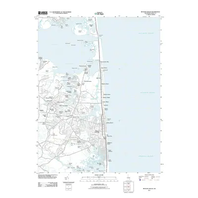 2011 Bethany Beach2011 Print · USGSCovers Delaware, including Ocean View, Bethany Beach, and other nearby areas
 - 2011 Map of Fairmount, 2011 Print
 2011 Fairmount2011 Print · USGSCovers Delaware, including Cool Spring Farms Mobile Home Park, Broad Meadows, and other nearby areas
 - 2011 Map of Newark East, 2011 Print
 2011 Newark East2011 Print · USGSCovers Delaware, including Newark, Elmwood, and other nearby areas
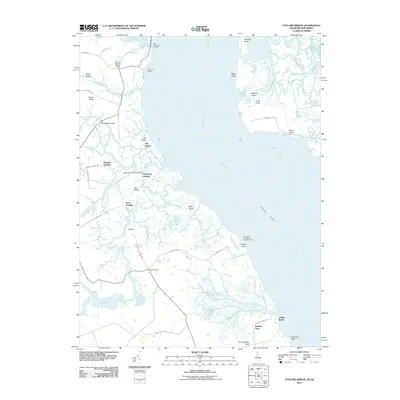
 - 2011 Map of Mispillion River, 2011 Print
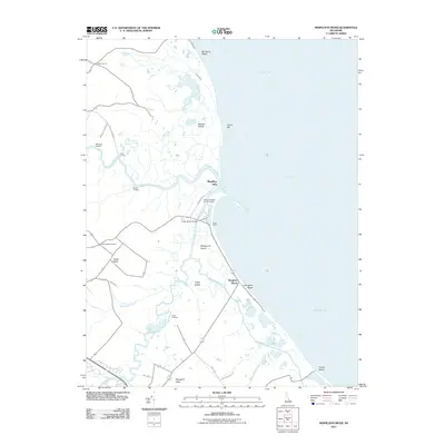 2011 Mispillion River2011 Print · USGSCovers Delaware, including Milford, Slaughter Beach, and other nearby areas
 - 2011 Map of Smyrna, 2011 Print
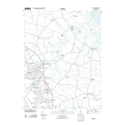 2011 Smyrna2011 Print · USGSCovers Delaware, including Smyrna, Brenford, and other nearby areas
 - 2011 Map of Laurel, 2011 Print
 2011 Laurel2011 Print · USGSCovers Delaware, including Laurel, Bethel, and other nearby areas
 - 2011 Map of Saint Georges, 2011 Print
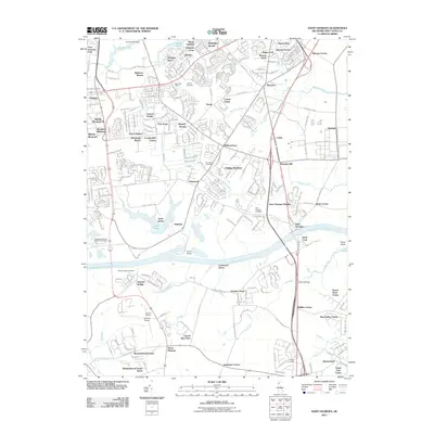 2011 Saint Georges2011 Print · USGSCovers Delaware, including Dragon Run Terrace Mobile Home Park, Hickory Woods, and other nearby areas
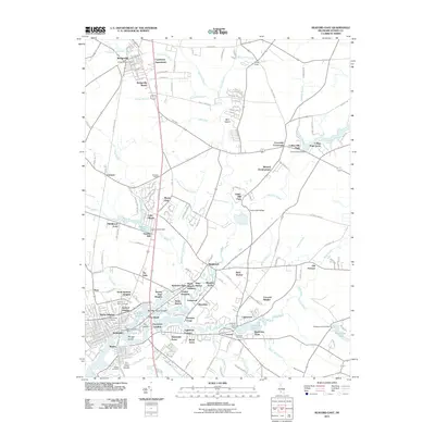
 - 2011 Map of Harbeson, 2011 Print
 2011 Harbeson2011 Print · USGSCovers Delaware, including Georgetown, Harbeson, and other nearby areas
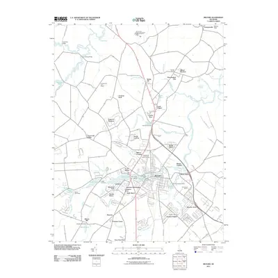
 - 2011 Map of Dover, 2011 Print
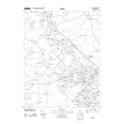 2011 Dover2011 Print · USGSCovers Delaware, including Dover, Camden, and other nearby areas
 - 2011 Map of Seaford East, 2011 Print
 2011 Seaford East2011 Print · USGSCovers Delaware, including Seaford, Bridgeville, and other nearby areas
 - 2011 Map of Wilmington North, 2011 Print
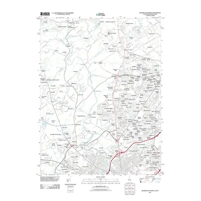 2011 Wilmington North2011 Print · USGSCovers Delaware, including Wilmington, Birmingham Township, and other nearby areas
 - 2011 Map of Frankford, 2011 Print
 2011 Frankford2011 Print · USGSCovers Delaware, including Frankford, Dagsboro, and other nearby areas
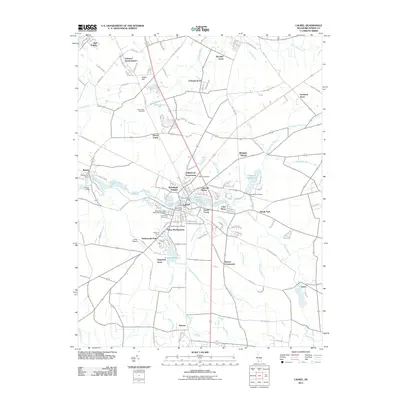
 - 2011 Map of Clayton, 2011 Print
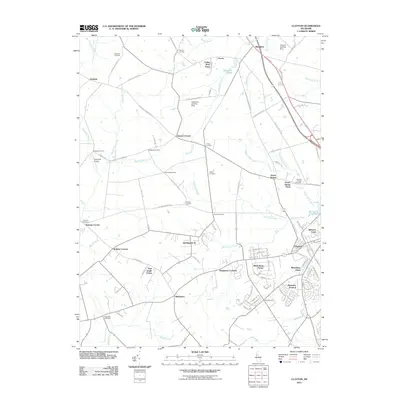 2011 Clayton2011 Print · USGSCovers Delaware, including Smyrna, Forest, and other nearby areas
 - 2011 Map of Georgetown, 2011 Print
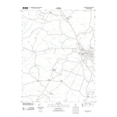 2011 Georgetown2011 Print · USGSCovers Delaware, including Georgetown, Kings Crossroads, and other nearby areas
 - 2011 Map of Little Creek, 2011 Print
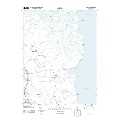 2011 Little Creek2011 Print · USGSCovers Delaware, including Dover, Little Creek, and other nearby areas
 - 2011 Map of West Grove, 2011 Print
 2011 West Grove2011 Print · USGSCovers Delaware, including New Garden Township, New London Township, and other nearby areas
 - 2011 Map of Milford, 2011 Print
 2011 Milford2011 Print · USGSCovers Delaware, including Milford, Houston, and other nearby areas
 - 2011 Map of Millsboro, 2011 Print
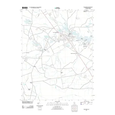 2011 Millsboro2011 Print · USGSCovers Delaware, including Millsboro, Dagsboro, and other nearby areas
 - 2011 Map of Lewes, 2011 Print
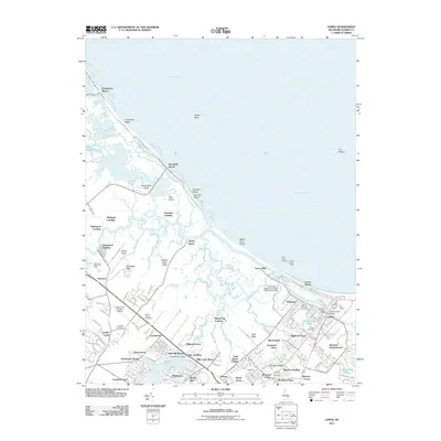 2011 Lewes2011 Print · USGSCovers Delaware, including Lewes, Black Hog Landing, and other nearby areas
 - 2011 Map of Milton, 2011 Print
 2011 Milton2011 Print · USGSCovers Delaware, including Milton, Drawbridge, and other nearby areas
Showing maps 1-25 of 285
Top cities of Delaware
- Wilmington historical maps
- Dover historical maps
- Newark historical maps
- Hockessin historical maps
- Smyrna historical maps
- Middletown historical maps
See more
Top counties of Delaware
Frequently asked questions
- What are the different types of historical maps available for Delaware?
- What is the oldest map of Delaware?
- Where can I purchase historical maps of Delaware for my home or office?
- Where can I download high-res historical maps of Delaware?
- Are there historical topographic maps available for Delaware?
- Is there historical aerial imagery available for Delaware?
- Where are historical maps of Delaware sourced from?