2000s (21st Century) Maps of Kent County, Delaware
Explore 105 historic maps of Kent County from the 2000s (21st Century). These maps offer a rare glimpse into what life looked like during the 2000s — showing old roads, neighborhoods, homes, and landmarks that have changed or disappeared over time.
Whether you're researching your family's past, planning a metal detecting trip, or studying how Kent County's landscape evolved across the 2000s, these high-resolution maps are a powerful tool for exploring the history of this region.
- Focus on a specific era: All maps on this page are from the 2000s, giving you a focused view of this time period.
- See what’s changed: Compare century-old streets, trails, and buildings to today's modern landscape using overlays and satellite layers.
- Research with precision: Use these maps for genealogy, historical research, land use analysis, or educational projects.
- View, download, or print: Maps are fully viewable online in high resolution, and can be downloaded or printed for your own records.
Start exploring Kent County's history through authentic maps from the 2000s. This is your window into the past.
Kent County, DE maps
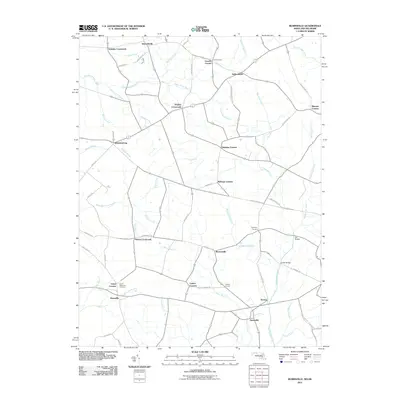
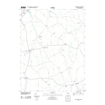
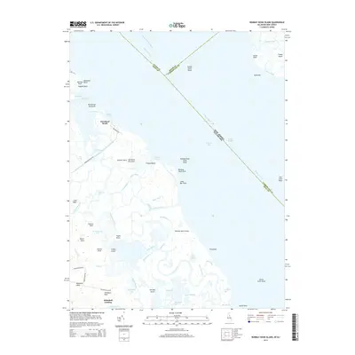
(105)- 2011 Map of Canton, 2011 Print
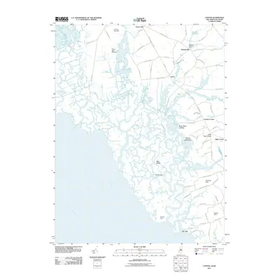 2011 Canton2011 Print · USGSCovers Kent County, including Quinton Township, Lower Alloways Creek Township, and other nearby areas
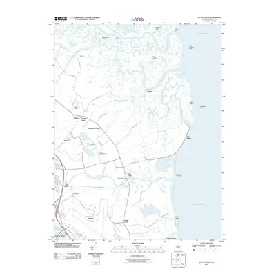
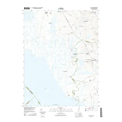
 - 2011 Map of Mispillion River, 2011 Print
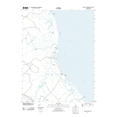 2011 Mispillion River2011 Print · USGSCovers Kent County, including Milford, Slaughter Beach, and other nearby areas
 - 2011 Map of Smyrna, 2011 Print
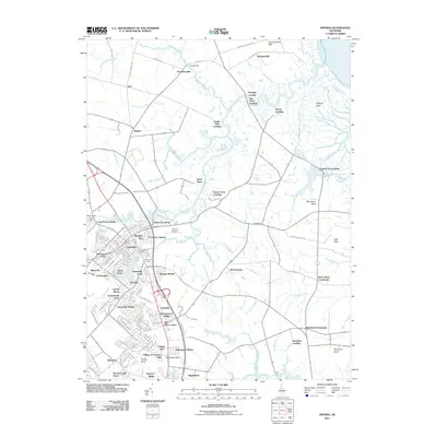 2011 Smyrna2011 Print · USGSCovers Kent County, including Smyrna, Brenford, and other nearby areas
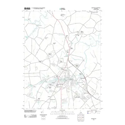
 - 2011 Map of Dover, 2011 Print
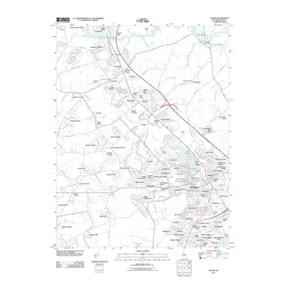 2011 Dover2011 Print · USGSCovers Kent County, including Dover, Camden, and other nearby areas
 - 2011 Map of Clayton, 2011 Print
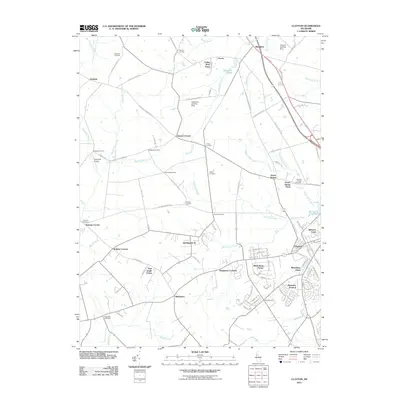 2011 Clayton2011 Print · USGSCovers Kent County, including Smyrna, Forest, and other nearby areas
 - 2011 Map of Little Creek, 2011 Print
 2011 Little Creek2011 Print · USGSCovers Kent County, including Dover, Little Creek, and other nearby areas
 - 2011 Map of Milford, 2011 Print
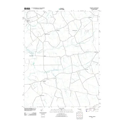
 2011 Milford2011 Print · USGSCovers Kent County, including Milford, Houston, and other nearby areas
 - 2011 Map of Frederica, 2011 Print
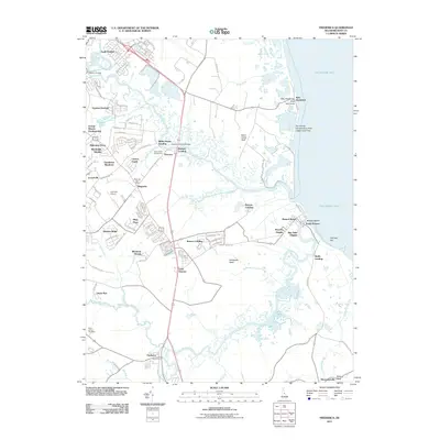 2011 Frederica2011 Print · USGSCovers Kent County, including Dover, Dover Base, and other nearby areas
 - 2011 Map of Wyoming, 2011 Print
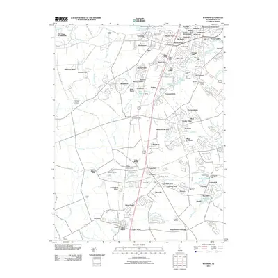 2011 Wyoming2011 Print · USGSCovers Kent County, including Highland Acres, Woodside East, and other nearby areas
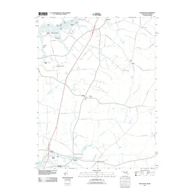
 - 2011 Map of Harrington, 2011 Print
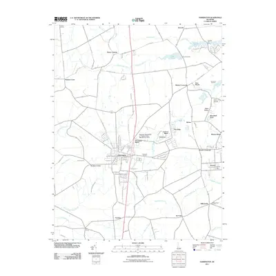 2011 Harrington2011 Print · USGSCovers Kent County, including Harrington, Felton, and other nearby areas
 - 2011 Map of Greenwood, 2011 Print
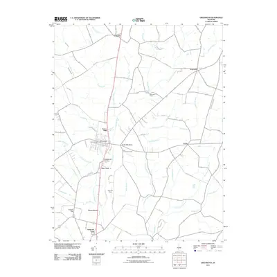 2011 Greenwood2011 Print · USGSCovers Kent County, including Bridgeville, Greenwood, and other nearby areas
 - 2011 Map of Bombay Hook Island, 2011 Print
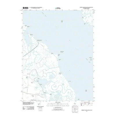 2011 Bombay Hook Island2011 Print · USGSCovers Kent County, including Greenwich Township, Woodland Beach, and other nearby areas
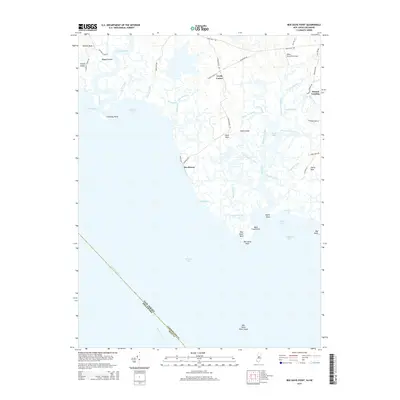
 - 2011 Map of Ben Davis Point, 2011 Print
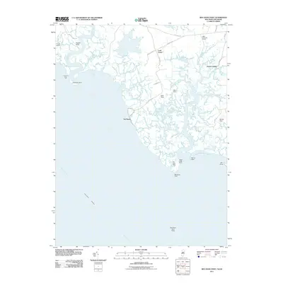 2011 Ben Davis Point2011 Print · USGSCovers Kent County, including Fairfield Township, Hopewell Township, and other nearby areas
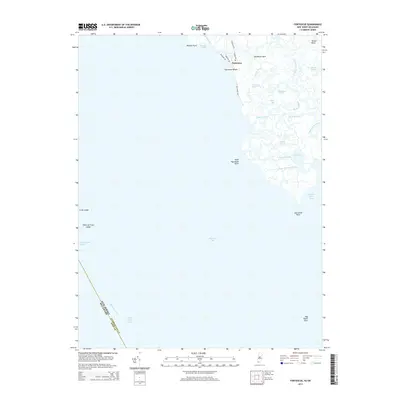
 - 2011 Map of Fortescue, 2011 Print
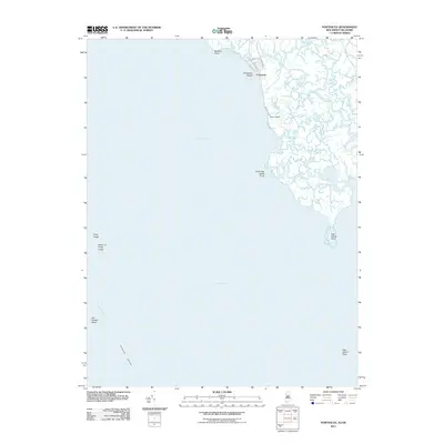 2011 Fortescue2011 Print · USGSCovers Kent County, including Downe Township, Fortescue, and other nearby areas
 - 2011 Map of Bennetts Pier, 2011 Print
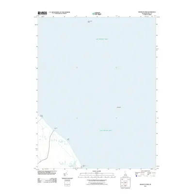 2011 Bennetts Pier2011 Print · USGSCovers Kent County, including Frenchs Mobile Homes, Big Stone Beach, and other nearby areas
 - 2011 Map of Hickman, 2011 Print
 2011 Hickman2011 Print · USGSCovers Kent County, including Hickman, Big Pine, and other nearby areas
 - 2011 Map of Burrsville, 2011 Print
 2011 Burrsville2011 Print · USGSCovers Kent County, including Greens Corner, Greenville, and other nearby areas
 - 2011 Map of Millington, 2011 Print
 2011 Millington2011 Print · USGSCovers Kent County, including Galena, Peacock Corners, and other nearby areas
 - 2011 Map of Marydel, 2011 Print
 2011 Marydel2011 Print · USGSCovers Kent County, including Marydel, Sandtown, and other nearby areas
 - 2011 Map of Kenton, 2011 Print
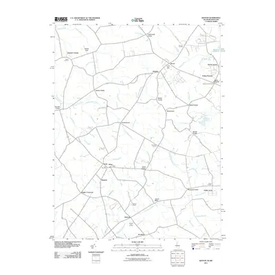 2011 Kenton2011 Print · USGSCovers Kent County, including Kenton, Hartly, and other nearby areas
 - 2011 Map of Sudlersville, 2011 Print
 2011 Sudlersville2011 Print · USGSCovers Kent County, including Sudlersville, Barclay, and other nearby areas
 - 2014 Map of Canton, 2014 Print
 2014 Canton2014 Print · USGSCovers Kent County, including Quinton Township, Lower Alloways Creek Township, and other nearby areas
 - 2014 Map of Fortescue, 2014 Print
 2014 Fortescue2014 Print · USGSCovers Kent County, including Downe Township, Fortescue, and other nearby areas
 - 2014 Map of Ben Davis Point, 2014 Print
 2014 Ben Davis Point2014 Print · USGSCovers Kent County, including Fairfield Township, Hopewell Township, and other nearby areas
 - 2014 Map of Bombay Hook Island, 2014 Print
 2014 Bombay Hook Island2014 Print · USGSCovers Kent County, including Greenwich Township, Woodland Beach, and other nearby areas
Showing maps 1-25 of 105
Top cities of Kent County
- Dover historical maps
- Smyrna historical maps
- Highland Acres historical maps
- Harrington historical maps
- Dover Base historical maps
- Woodside East historical maps
See more
Frequently asked questions
- What are the different types of historical maps available for Kent County?
- What is the oldest map of Kent County?
- Where can I purchase historical maps of Kent County for my home or office?
- Where can I download high-res historical maps of Kent County?
- Are there historical topographic maps available for Kent County?
- Is there historical aerial imagery available for Kent County?
- Where are historical maps of Kent County sourced from?