2010s Maps of Kent County, Delaware
Explore 84 historic maps of Kent County from the 2010s. These maps offer a rare glimpse into what life looked like during the 2010s — showing old roads, neighborhoods, homes, and landmarks that have changed or disappeared over time.
Whether you're researching your family's past, planning a metal detecting trip, or studying how Kent County's landscape evolved across the 2010s, these high-resolution maps are a powerful tool for exploring the history of this region.
- Focus on a specific era: All maps on this page are from the 2010s, giving you a focused view of this time period.
- See what’s changed: Compare century-old streets, trails, and buildings to today's modern landscape using overlays and satellite layers.
- Research with precision: Use these maps for genealogy, historical research, land use analysis, or educational projects.
- View, download, or print: Maps are fully viewable online in high resolution, and can be downloaded or printed for your own records.
Start exploring Kent County's history through authentic maps from the 2010s. This is your window into the past.
Kent County, DE maps
(84)- 2011 Map of Canton, 2011 Print
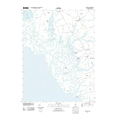 2011 Canton2011 Print · USGSCoastal Salem County at the turn of the decade reveals a landscape where historic farmsteads meet the Delaware River marshes. Researchers can trace family lines and old landmarks from Maskells Mill and Canton down to the remote reaches of Bacons Neck and Bay Side.
- 2011 Map of Mispillion River, 2011 Print
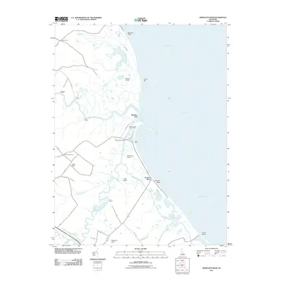 2011 Mispillion River2011 Print · USGSThe Delaware Bay shoreline meets the winding estuaries of the Mispillion River in the early twenty-first century. Researchers can trace historic maritime access points at Revills Landing and Davis Landing or locate family sites near Cedar Neck Cemetery.
- 2011 Map of Smyrna, 2011 Print
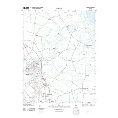 2011 Smyrna2011 Print · USGSSmyrna and the coastal necks of Kent County appear here during a period of modern suburban growth within a traditional maritime landscape. Researchers can trace historic sites like Belmont Hall and Smyrna Landing alongside rural landmarks such as Brick Store and Deakyneville.
- 2011 Map of Dover, 2011 Print
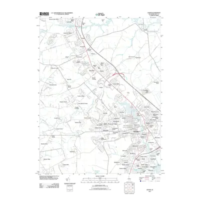 2011 Dover2011 Print · USGSDover and its northern suburbs are shown in detail during the early 21st century as the capital region expanded. Researchers can trace historic burial sites like the Amish Cemetery and Whatcoat Cemetery, or locate local landmarks such as Dover Downs and Delaware Airpark.
- 2011 Map of Clayton, 2011 Print
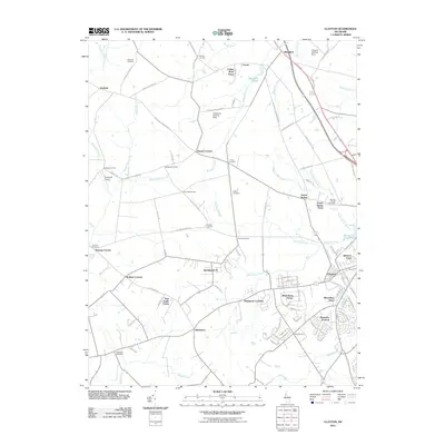 2011 Clayton2011 Print · USGSThe Kent County countryside near the Maryland border is documented here at the start of the 2010s. Genealogists and local historians can trace family roots through several landmarks, including Ebenezer Cemetery, Delaney Corner, and the rural community of Blackiston.
- 2011 Map of Little Creek, 2011 Print
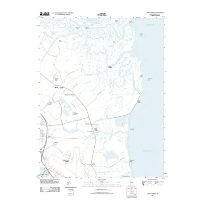 2011 Little Creek2011 Print · USGSThe Delaware coast near Little Creek is shown here in the early twenty-first century, revealing a landscape shaped by tidal guts and historic bayside settlements. Genealogists and researchers can locate the Friends Meetinghouse Cemetery, the community of Pickering Beach, and landmarks like Port Mahon.
- 2011 Map of Milford, 2011 Print
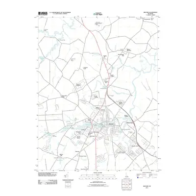 2011 Milford2011 Print · USGSMilford and its surrounding river plains are captured here in the early twenty-first century as suburban growth meets coastal agriculture. Researchers can trace family sites near Abbotts Mill, the Independent Order of Odd Fellows Cemetery, and the historic Old Baptist Church.
- 2011 Map of Frederica, 2011 Print
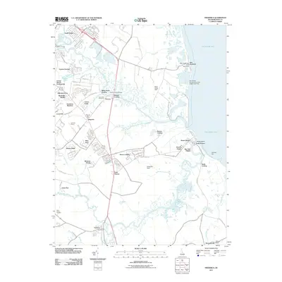 2011 Frederica2011 Print · USGSCoastal Kent County appears in this recent survey, showing the intricate tidal waterways where the river systems meet the bay. Researchers can locate Saint James Cemetery, the Magnolia Post Office, and shoreline landings like Webb Landing and Bowers Beach.
- 2011 Map of Wyoming, 2011 Print
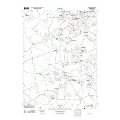 2011 Wyoming2011 Print · USGSKent County in the early 2000s shows a landscape of growing residential developments integrated with historic water-powered sites. Genealogists and local historians can locate several burial grounds including Kingdom Holiness Cemetery and trace the legacy of Wyoming Mills.
- 2011 Map of Harrington, 2011 Print
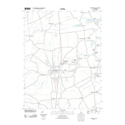 2011 Harrington2011 Print · USGSIn the early twenty-first century, this Kent County landscape shows the steady growth of Harrington and its neighboring hamlets. Genealogists and local researchers can trace family landmarks and community centers like Hollywood Cemetery, Five Corners, and the Delaware State Fairgrounds.
- 2011 Map of Greenwood, 2011 Print
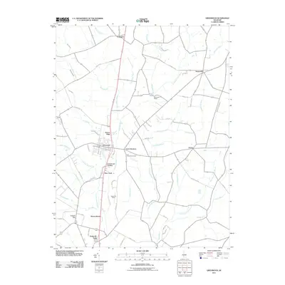 2011 Greenwood2011 Print · USGSCoastal Delaware's rural interior comes into focus during the early twenty-first century as agricultural lands and small hamlets thrive. Researchers can locate family landmarks and burial sites like the Saint Johnstown Cemetery, Hickory Ridge, and Newton Woods.
- 2011 Map of Bombay Hook Island, 2011 Print
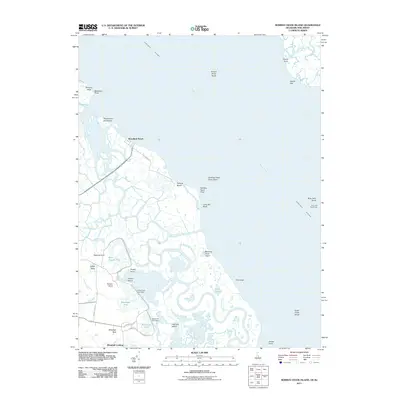 2011 Bombay Hook Island2011 Print · USGSThe Delaware bayside is captured here in the early twenty-first century as a sprawling network of tidal marshes and wildlife impoundments. You can trace the road to Woodland Beach or locate maritime landmarks like Ship John Shoal Light and the remote Whitehall Landing.
- 2011 Map of Ben Davis Point, 2011 Print
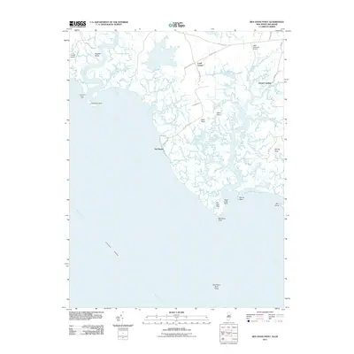 2011 Ben Davis Point2011 Print · USGSCumberland County's marshy Delaware Bay shoreline is captured here in the early twenty-first century, showing a landscape defined by tidal creeks and coastal necks. Genealogists and local historians can trace family-named sites like Loyds Corner, Husted Landing, and Sayres Neck.
- 2011 Map of Fortescue, 2011 Print
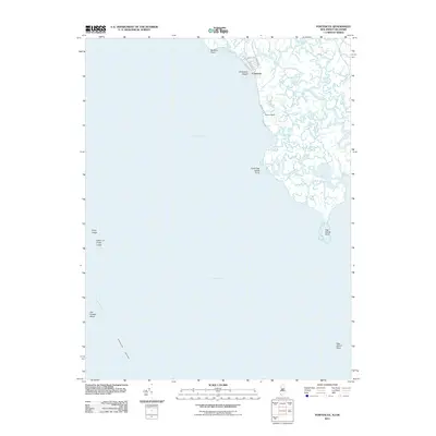 2011 Fortescue2011 Print · USGSThe marshy shoreline of Cumberland County comes into focus in this early twenty-first-century survey of the Delaware Bay coast. Local historians and mariners can trace the tidal reaches of Oranoaken Creek and the waterfront streets of Fortescue, from Raybins Beach to the maritime hazards at Joe Flogger Shoal.
- 2011 Map of Bennetts Pier, 2011 Print
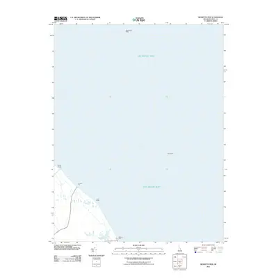 2011 Bennetts Pier2011 Print · USGSThe Delaware coastline in the early twenty-first century reveals a landscape shaped by tidal marshes and quiet bayfront settlements. Researchers can trace the small coastal outposts of Bennetts Pier and Big Stone Beach alongside maritime features like Cedarbush Hole.
- 2011 Map of Hickman, 2011 Print
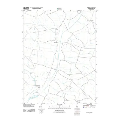 2011 Hickman2011 Print · USGSThe rural Delaware-Maryland borderlands appear here in the early 21st century, showing a landscape shaped by agriculture and intricate drainage. Genealogists can locate family names at Bethel Cemetery or Todds Cemetery while tracing routes through Hickman and Adamsville.
- 2011 Map of Burrsville, 2011 Print
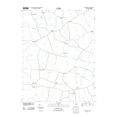 2011 Burrsville2011 Print · USGSThe Maryland and Delaware state line runs through this agricultural landscape at the turn of the decade, where small rural hubs thrive. Genealogists and historians can trace family-named intersections and landmarks like Schultie Crossroads, Union Memorial Cemetery, and Hollandsville.
- 2011 Map of Millington, 2011 Print
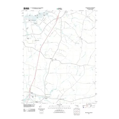 2011 Millington2011 Print · USGSThe Maryland-Delaware border region comes alive in this survey of the upper Eastern Shore countryside. Genealogists and local historians can trace family-named points along the Sassafras River and locate vital records through the Saint Clements Cemetery or the Millington Post Office.
- 2011 Map of Marydel, 2011 Print
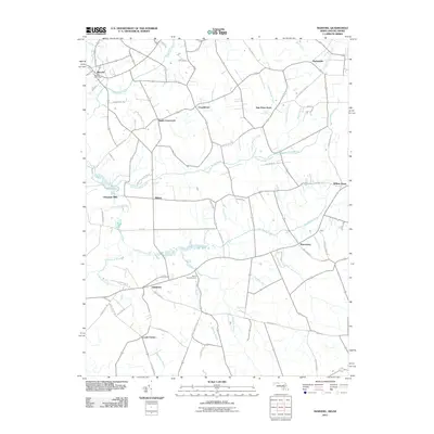 2011 Marydel2011 Print · USGSMaryland and Delaware meet at the state line in the early twenty-first century, showing a landscape of fertile farm plots and intricate drainage networks. Genealogists and local historians can trace family roots through landmarks like Mount Olive Cemetery, Choptank Mills, and the Marydel Post Office.
- 2011 Map of Kenton, 2011 Print
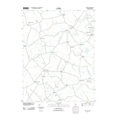 2011 Kenton2011 Print · USGSAgricultural life in Kent County remains centered around established crossroads and water management at the start of the 2010s. Genealogists can locate family landmarks like Bryn Zion Cemetery, Masseys Millpond, and old hubs like Downs Chapel or Wrights Crossroads.
- 2011 Map of Sudlersville, 2011 Print
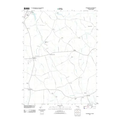 2011 Sudlersville2011 Print · USGSThe northern reaches of Queen Anne’s County appear in clear detail during the early 2010s, focusing on the rural landscape around Sudlersville. Genealogists can trace family connections at Holdens Cemetery or locate civic centers like the Barclay Post Office and Templeville Post Office.
- 2014 Map of Canton, 2014 Print
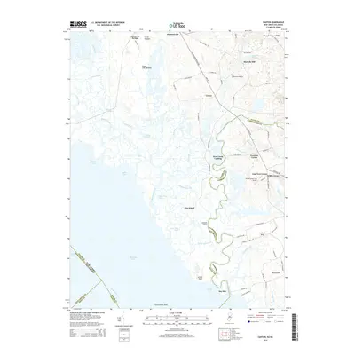 2014 Canton2014 Print · USGSThe marshy borders of Salem and Cumberland Counties appear in this recent survey of the New Jersey shoreline. Genealogists and local historians can trace the geography of old family lands at Bacons Neck, Maskells Mill, and Stow Creek Landing.
- 2014 Map of Fortescue, 2014 Print
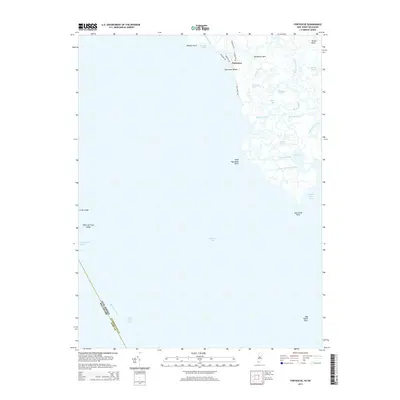 2014 Fortescue2014 Print · USGSThe Cumberland County coastline is captured here in the early twenty-first century, showing the small community of Fortescue at the edge of the marshes. Genealogists and historians can trace family-named water features like Pierson Ditch and Courtney Ponds alongside the maritime markers of Egg Island Point.
- 2014 Map of Ben Davis Point, 2014 Print
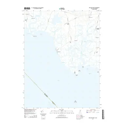 2014 Ben Davis Point2014 Print · USGSCumberland County’s maritime fringes are captured here in the early twenty-first century as they meet the Delaware Bay. Genealogists and local historians can trace the roads and waterways connecting Sea Breeze, Husted Landing, and Loyds Corner.
- 2014 Map of Bombay Hook Island, 2014 Print
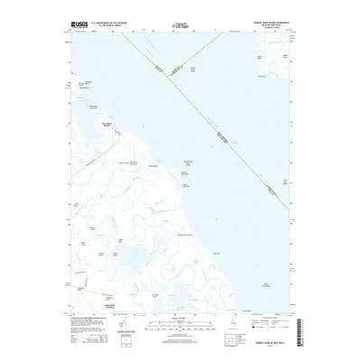 2014 Bombay Hook Island2014 Print · USGSCoastal Delaware and New Jersey intersect here amidst the tidal marshes of the Delaware River at the start of the 2010s. Researchers can trace landforms and local family history through features like Woodland Beach, Whitehall Landing, and Collins Island.
Showing maps 1-25 of 84
Top cities of Kent County
- Dover historical maps
- Smyrna historical maps
- Highland Acres historical maps
- Harrington historical maps
- Dover Base historical maps
- Woodside East historical maps
See more
Frequently asked questions
- What are the different types of historical maps available for Kent County?
- What is the oldest map of Kent County?
- Where can I purchase historical maps of Kent County for my home or office?
- Where can I download high-res historical maps of Kent County?
- Are there historical topographic maps available for Kent County?
- Is there historical aerial imagery available for Kent County?
- Where are historical maps of Kent County sourced from?