2020s Maps of Kent County, Delaware
Explore 21 historic maps of Kent County from the 2020s. These maps offer a rare glimpse into what life looked like during the 2020s — showing old roads, neighborhoods, homes, and landmarks that have changed or disappeared over time.
Whether you're researching your family's past, planning a metal detecting trip, or studying how Kent County's landscape evolved across the 2020s, these high-resolution maps are a powerful tool for exploring the history of this region.
- Focus on a specific era: All maps on this page are from the 2020s, giving you a focused view of this time period.
- See what’s changed: Compare century-old streets, trails, and buildings to today's modern landscape using overlays and satellite layers.
- Research with precision: Use these maps for genealogy, historical research, land use analysis, or educational projects.
- View, download, or print: Maps are fully viewable online in high resolution, and can be downloaded or printed for your own records.
Start exploring Kent County's history through authentic maps from the 2020s. This is your window into the past.
Kent County, DE maps
(21)- 2023 Map of Greenwood, 2023 Print
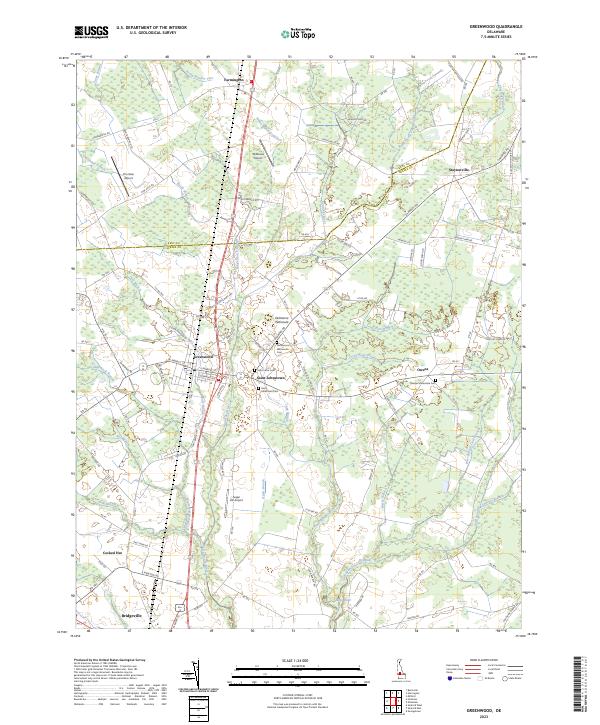 2023 Greenwood2023 Print · USGSSussex County agricultural life is centered on Greenwood and the headwaters of the Nanticoke River in the early twenty-first century. Family historians can trace local sites like Saint Johnstown, the Tressler Mennonite Cem, and the uniquely named Cocked Hat.
 - 2023 Map of Milford, 2023 Print
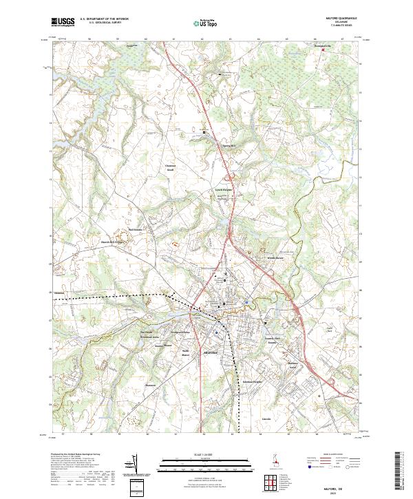 2023 Milford2023 Print · USGSThe Kent and Sussex county line meets at the Mispillion River in this 2023 survey of the Milford area. Genealogists can trace family heritage through the Old Community Cem, John Wesley Church, and Lynch Heights.
 - 2023 Map of Clayton, 2023 Print
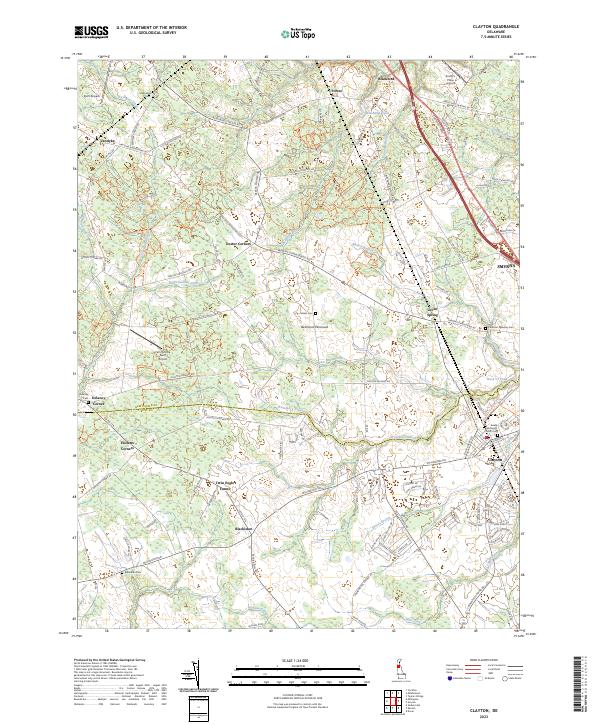 2023 Clayton2023 Print · USGSThe borderlands of New Castle and Kent Counties come into focus in this recent survey of the central Delmarva Peninsula. Researchers can trace rural lineages through sites like Blackiston Cem and Delaney Cem or explore the drainage of Blackbird Creek.
 - 2023 Map of Sudlersville, 2023 Print
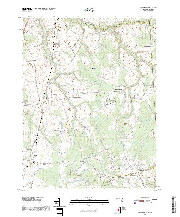 2023 Sudlersville2023 Print · USGSQueen Anne's County is shown in detail during the early 2020s, capturing the rural character and small crossroads of the Maryland-Delaware border. Genealogists can locate several local burial sites like Holdens Chapel Cem and Busic Cem or trace the development of Sudlersville and Barclay.
 - 2023 Map of Marydel, 2023 Print
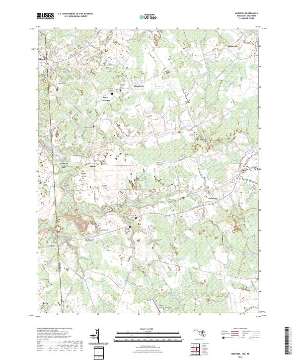 2023 Marydel2023 Print · USGSThe borderlands of Delaware and Maryland come into focus in the early twenty-first century, showing a landscape defined by historic drainage ditches and rural crossroads. Genealogists can trace family footprints at Thomas Chapel Cem, Choptank Mills, and the Slaughter Family Plot Cem.
 - 2023 Map of Millington, 2023 Print
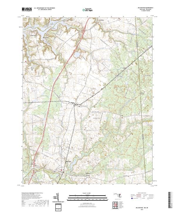 2023 Millington2023 Print · USGSStraddling the Maryland and Delaware border, this contemporary look at the Upper Eastern Shore reveals an area defined by tidal rivers and crossroads hamlets. Genealogists and local historians can trace the positions of Saint Clements Episcopal Cem, the Massey Aerodrome, and the historic layout of Millington.
 - 2023 Map of Harrington, 2023 Print
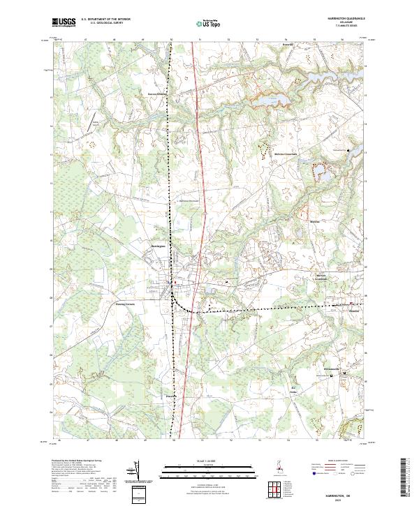 2023 Harrington2023 Print · USGSThe central Delmarva Peninsula comes into focus in this recent survey of the Kent and Sussex county lines. Genealogists and local researchers can trace family landmarks and rural intersections like Marvels Crossroads, Fleming Corners, and Griffiths Chapel Cem.
 - 2023 Map of Hickman, 2023 Print
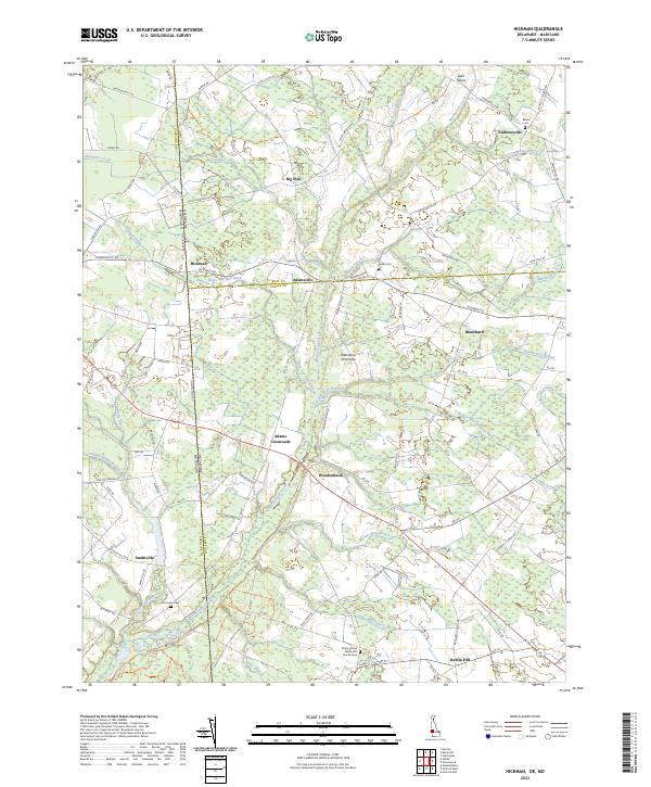 2023 Hickman2023 Print · USGSThe Delaware-Maryland borderlands come into focus in this contemporary survey of Kent and Sussex Counties. Genealogists and local historians can trace family roots through sites like Bethel Cem, the settlement at Andrewsville, and the uniquely named Hog Range.
 - 2023 Map of Mispillion River, 2023 Print
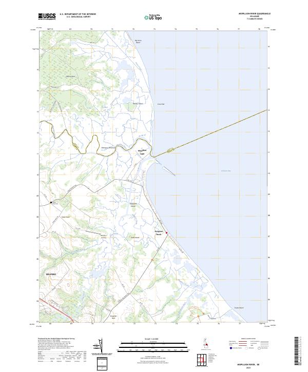 2023 Mispillion River2023 Print · USGSThe Delaware coastline at the Mispillion River comes to life in this detailed survey of its marshes and beaches. Researchers can trace land use through the Mispillion Light, Cedar Neck Cem, and small bayfront settlements like Slaughter Beach.
 - 2023 Map of Burrsville, 2023 Print
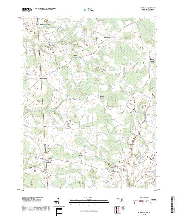 2023 Burrsville2023 Print · USGSThe rural borderlands of the Delmarva Peninsula are captured here in the early twenty-first century, showing the enduring crossroads of Caroline County. Researchers can trace family history through sites like the Wesley Methodist Episcopal Church Cem, Whiteleysburg, and Layton Corners.
 - 2023 Map of Kenton, 2023 Print
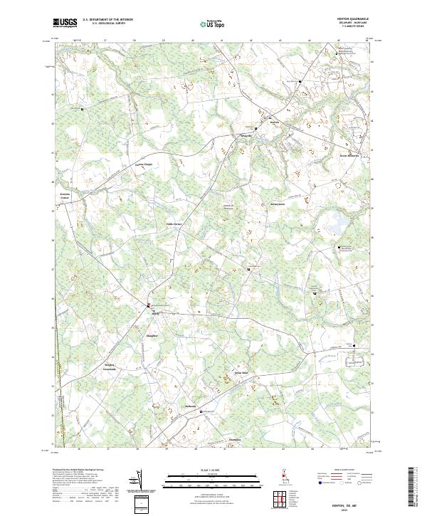 2023 Kenton2023 Print · USGSThe Delaware and Maryland borderlands near Kenton and Hartly appear here in a period of modern agricultural stability. Researchers can trace numerous small rural settlements and religious sites like Wrights Crossroads and the Central Mennonite Cem.
 - 2023 Map of Wyoming, 2023 Print
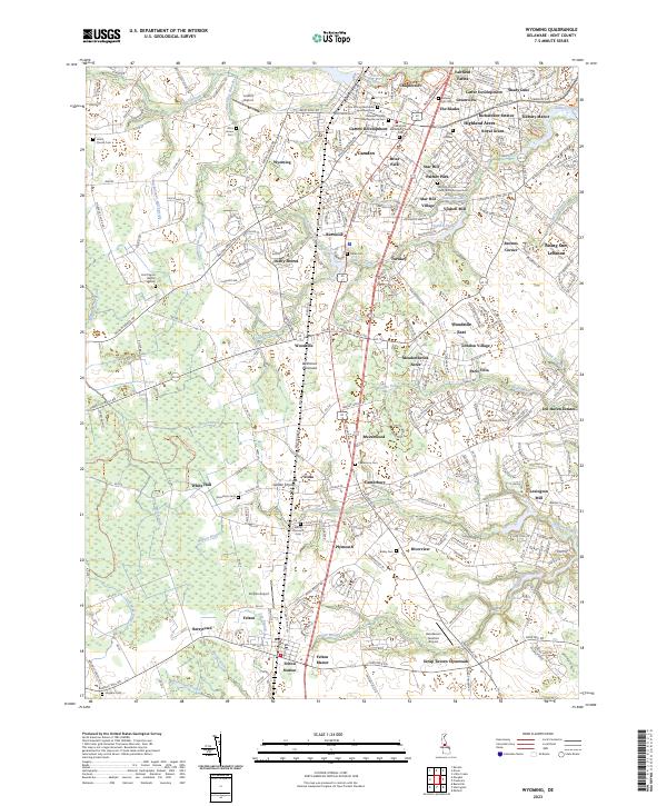 2023 Wyoming2023 Print · USGSCentral Delaware’s agricultural heartland is documented here in the early twenty-first century, showing the dense network of small towns and rural estates. Genealogists and historians can locate dozens of burial sites like Odd Fellows Cem and trace industrial remnants at Voshell Mill or Lexington Mill.
 - 2023 Map of Smyrna, 2023 Print
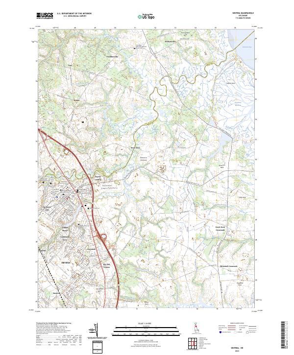 2023 Smyrna2023 Print · USGSSmyrna and Clayton center this Delaware landscape as it appeared in the early 2020s, bridging the county line along the Smyrna River. Genealogists can trace deep local roots at the Duck Creek Friends Burial Ground and Odd Fellows Cem, or explore the tidal reaches of Thoroughfare Neck.
 - 2023 Map of Frederica, 2023 Print
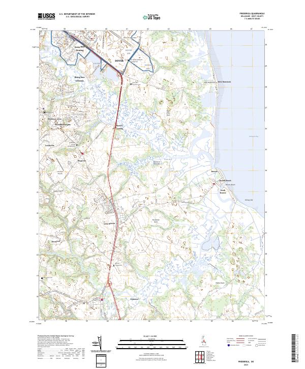 2023 Frederica2023 Print · USGSThe Delaware coast near Magnolia and Frederica shows a unique blend of military infrastructure and deep-rooted colonial-era heritage. Genealogists can trace family lines at the Dickinson Plantation Cem, Bannings Cem, and the historic Barratts Chapel Cem.
 - 2023 Map of Dover, 2023 Print
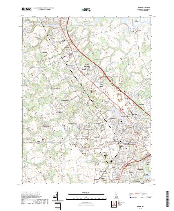 2023 Dover2023 Print · USGSDover and its surrounding Kent County suburbs are shown in great detail during the early 2020s. Genealogists can locate family landmarks like the Amish Cem or Slaughter Family Plot Cem, while historians trace the city's growth around Silver Lake.
 - 2023 Map of Bombay Hook Island, 2023 Print
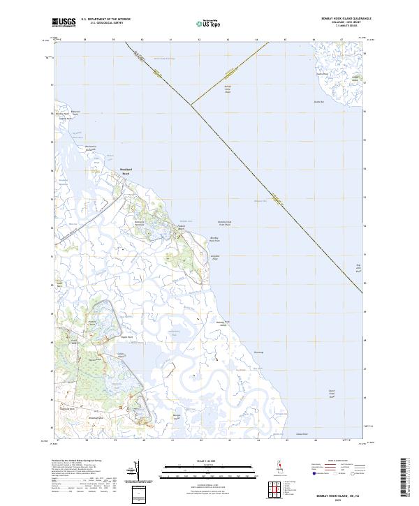 2023 Bombay Hook Island2023 Print · USGSThe Kent County coastline and the expansive marshes of the Delaware Bay come to life in this recent survey. Local historians can trace the intricate network of Money Marsh, the Dutch Neck Canal, and historical landings at Woodland Beach.
 - 2023 Map of Little Creek, 2023 Print
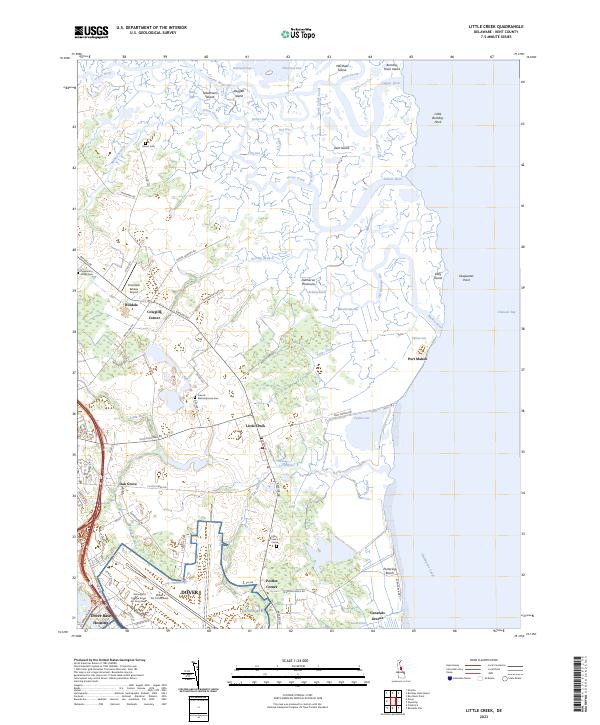 2023 Little Creek2023 Print · USGSThe Kent County coast comes into focus in this contemporary survey of the salt marshes and military installations east of Dover. Researchers can trace the legacy of local families at Moors Cem and Little Creek Cem or explore the maritime edge at Port Mahon.
 - 2023 Map of Bennetts Pier, 2023 Print
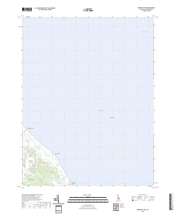 2023 Bennetts Pier2023 Print · USGSThe Kent County coastline is captured here as it appeared in the early 2020s, dominated by the protected marshes of the Delaware Bay. Researchers can trace the coastal roads to Big Stone Beach and explore the tidal reaches of Milford Neck and Brockonbridge Gut.
 - 2023 Map of Canton, 2023 Print
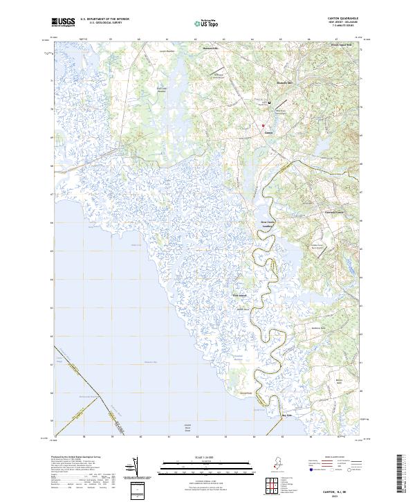 2023 Canton2023 Print · USGSCoastal Salem and Cumberland counties meet along the winding marshes of the Delaware Bay in this modern survey. Genealogists and historians can trace family-named sites from Bacons Neck and Garrison Corner to the old grounds of Canton Baptist Cem.
 - 2023 Map of Ben Davis Point, 2023 Print
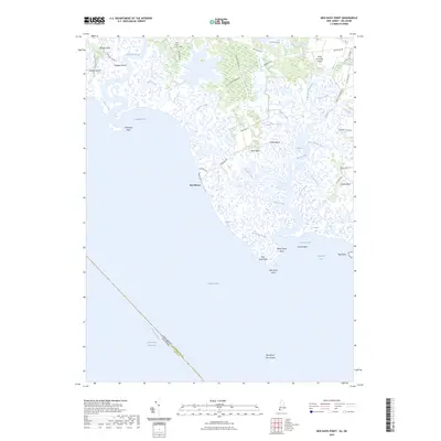 2023 Ben Davis Point2023 Print · USGSThe Cumberland County coast is documented here just as modern sea-level patterns continue to shape the Delaware Bay shoreline. Researchers can trace land use across Bacons Neck and Sea Breeze, or locate local landmarks like Holly Corner Cem.
 - 2023 Map of Fortescue, 2023 Print
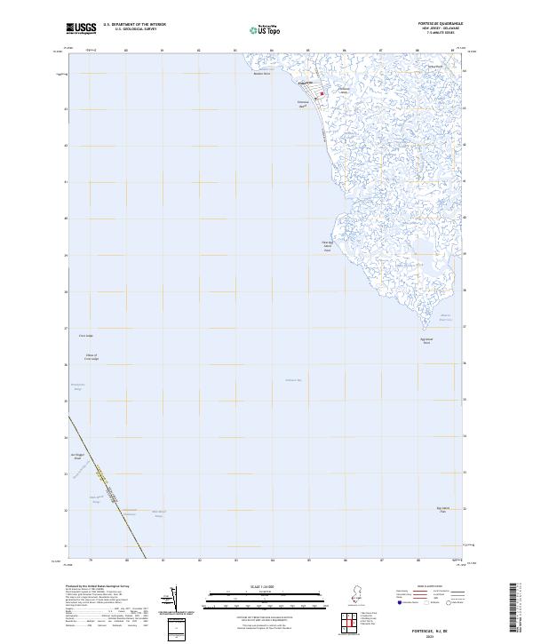 2023 Fortescue2023 Print · USGSThe marshes of Cumberland County meet the Delaware Bay in this modern survey of the bayside village of Fortescue. Local historians can trace the tidal reaches of Oranoaken Creek or find maritime landmarks like Egg Island Point and Joe Flogger Shoal.
End of results
Showing maps 1-21 of 21
Top cities of Kent County
- Dover historical maps
- Smyrna historical maps
- Highland Acres historical maps
- Harrington historical maps
- Dover Base historical maps
- Woodside East historical maps
See more
Frequently asked questions
- What are the different types of historical maps available for Kent County?
- What is the oldest map of Kent County?
- Where can I purchase historical maps of Kent County for my home or office?
- Where can I download high-res historical maps of Kent County?
- Are there historical topographic maps available for Kent County?
- Is there historical aerial imagery available for Kent County?
- Where are historical maps of Kent County sourced from?