2000s (21st Century) Maps of Sussex County, Delaware
Explore 135 historic maps of Sussex County from the 2000s (21st Century). These maps offer a rare glimpse into what life looked like during the 2000s — showing old roads, neighborhoods, homes, and landmarks that have changed or disappeared over time.
Whether you're researching your family's past, planning a metal detecting trip, or studying how Sussex County's landscape evolved across the 2000s, these high-resolution maps are a powerful tool for exploring the history of this region.
- Focus on a specific era: All maps on this page are from the 2000s, giving you a focused view of this time period.
- See what’s changed: Compare century-old streets, trails, and buildings to today's modern landscape using overlays and satellite layers.
- Research with precision: Use these maps for genealogy, historical research, land use analysis, or educational projects.
- View, download, or print: Maps are fully viewable online in high resolution, and can be downloaded or printed for your own records.
Start exploring Sussex County's history through authentic maps from the 2000s. This is your window into the past.
Sussex County, DE maps
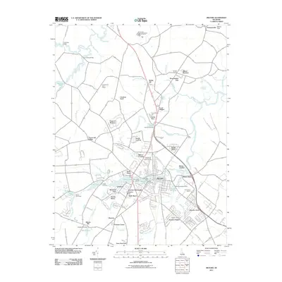
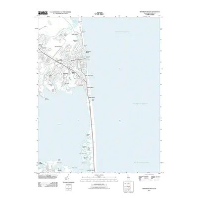
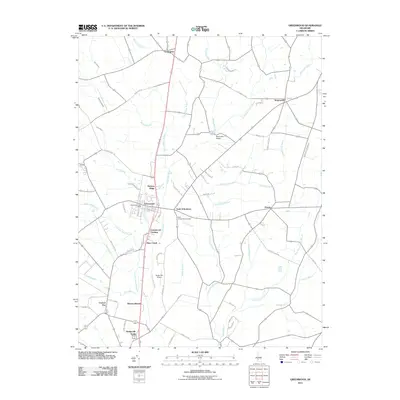
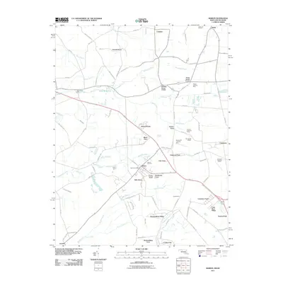
(135)- 2011 Map of Bethany Beach, 2011 Print
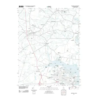
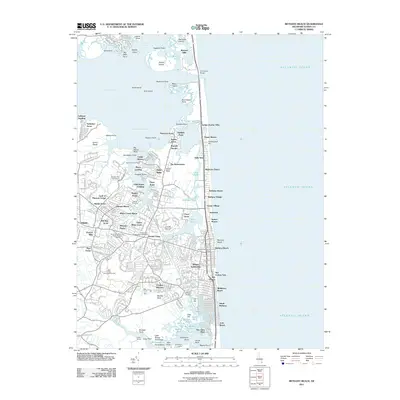 2011 Bethany Beach2011 Print · USGSCovers Sussex County, including Ocean View, Bethany Beach, and other nearby areas
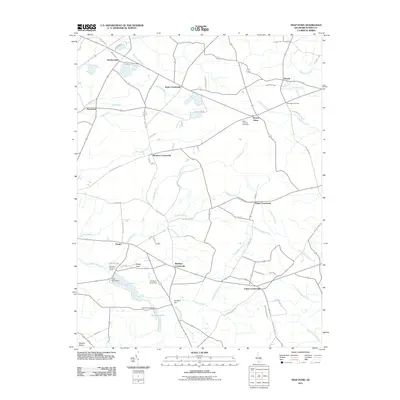
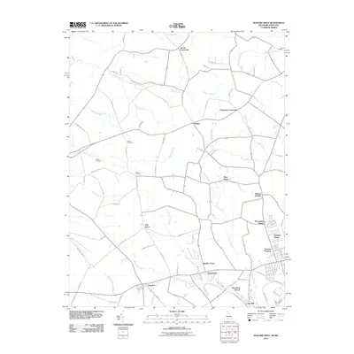
 - 2011 Map of Fairmount, 2011 Print
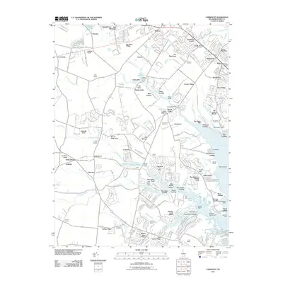 2011 Fairmount2011 Print · USGSCovers Sussex County, including Cool Spring Farms Mobile Home Park, Broad Meadows, and other nearby areas
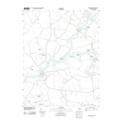
 - 2011 Map of Mispillion River, 2011 Print
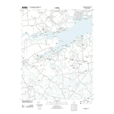
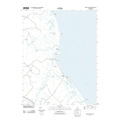 2011 Mispillion River2011 Print · USGSCovers Sussex County, including Milford, Slaughter Beach, and other nearby areas
 - 2011 Map of Laurel, 2011 Print
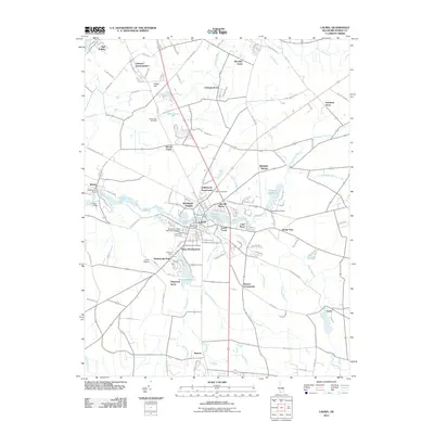 2011 Laurel2011 Print · USGSCovers Sussex County, including Laurel, Bethel, and other nearby areas
 - 2011 Map of Harbeson, 2011 Print
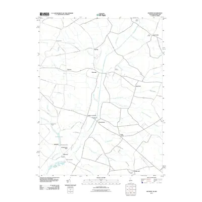
 2011 Harbeson2011 Print · USGSCovers Sussex County, including Georgetown, Harbeson, and other nearby areas
 - 2011 Map of Seaford East, 2011 Print
 2011 Seaford East2011 Print · USGSCovers Sussex County, including Seaford, Bridgeville, and other nearby areas
 - 2011 Map of Frankford, 2011 Print
 2011 Frankford2011 Print · USGSCovers Sussex County, including Frankford, Dagsboro, and other nearby areas
 - 2011 Map of Georgetown, 2011 Print
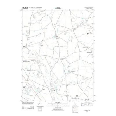
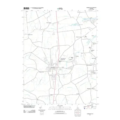
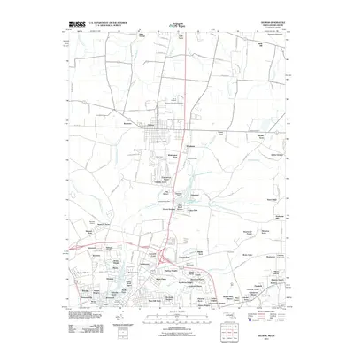
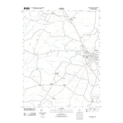 2011 Georgetown2011 Print · USGSCovers Sussex County, including Georgetown, Kings Crossroads, and other nearby areas
 - 2011 Map of Milford, 2011 Print
 2011 Milford2011 Print · USGSCovers Sussex County, including Milford, Houston, and other nearby areas
 - 2011 Map of Millsboro, 2011 Print
 2011 Millsboro2011 Print · USGSCovers Sussex County, including Millsboro, Dagsboro, and other nearby areas
 - 2011 Map of Lewes, 2011 Print
 2011 Lewes2011 Print · USGSCovers Sussex County, including Lewes, Black Hog Landing, and other nearby areas
 - 2011 Map of Milton, 2011 Print
 2011 Milton2011 Print · USGSCovers Sussex County, including Milton, Drawbridge, and other nearby areas
 - 2011 Map of Trap Pond, 2011 Print
 2011 Trap Pond2011 Print · USGSCovers Sussex County, including Bryans Store, Whaleys Crossroads, and other nearby areas
 - 2011 Map of Rehoboth Beach, 2011 Print
 2011 Rehoboth Beach2011 Print · USGSCovers Sussex County, including Rehoboth Beach, Dewey Beach, and other nearby areas
 - 2011 Map of Harrington, 2011 Print
 2011 Harrington2011 Print · USGSCovers Sussex County, including Harrington, Felton, and other nearby areas
 - 2011 Map of Ellendale, 2011 Print
 2011 Ellendale2011 Print · USGSCovers Sussex County, including Lincoln, Ellendale, and other nearby areas
 - 2011 Map of Greenwood, 2011 Print
 2011 Greenwood2011 Print · USGSCovers Sussex County, including Bridgeville, Greenwood, and other nearby areas
 - 2011 Map of Cape Henlopen, 2011 Print
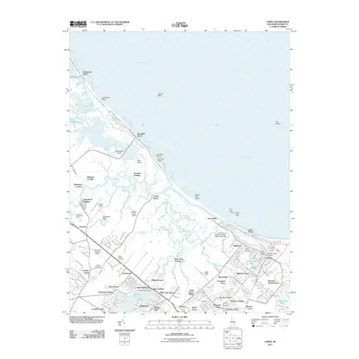
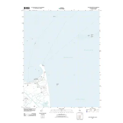 2011 Cape Henlopen2011 Print · USGSCovers Sussex County, including Lewes, Cape May County, and other nearby areas
 - 2011 Map of Pittsville, 2011 Print
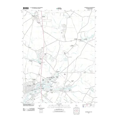
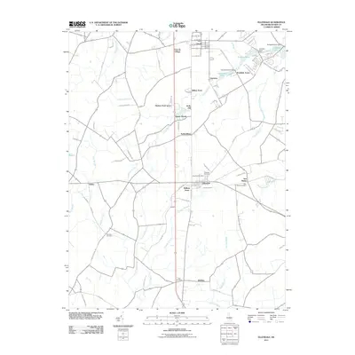
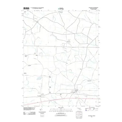 2011 Pittsville2011 Print · USGSCovers Sussex County, including Pittsville, Pepperbox, and other nearby areas
 - 2011 Map of Hickman, 2011 Print
 2011 Hickman2011 Print · USGSCovers Sussex County, including Hickman, Big Pine, and other nearby areas
 - 2011 Map of Hebron, 2011 Print
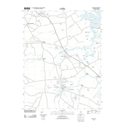
 2011 Hebron2011 Print · USGSCovers Sussex County, including Salisbury, Hebron, and other nearby areas
 - 2011 Map of Seaford West, 2011 Print
 2011 Seaford West2011 Print · USGSCovers Sussex County, including Seaford, Federalsburg, and other nearby areas
 - 2011 Map of Delmar, 2011 Print
 2011 Delmar2011 Print · USGSCovers Sussex County, including Salisbury, Delmar, and other nearby areas
 - 2011 Map of Sharptown, 2011 Print
 2011 Sharptown2011 Print · USGSCovers Sussex County, including Sharptown, Bethel, and other nearby areas
 - 2011 Map of Selbyville, 2011 Print
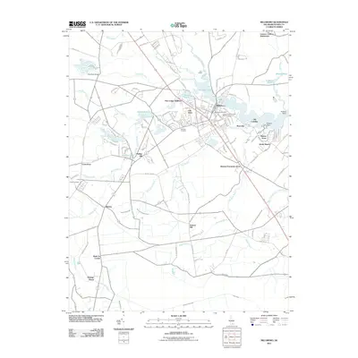
 2011 Selbyville2011 Print · USGSCovers Sussex County, including Ocean Pines, Selbyville, and other nearby areas
Showing maps 1-25 of 135
Top cities of Sussex County
- Seaford historical maps
- Georgetown historical maps
- Laurel historical maps
- Lewes historical maps
- Millsboro historical maps
- Selbyville historical maps
See more
Frequently asked questions
- What are the different types of historical maps available for Sussex County?
- What is the oldest map of Sussex County?
- Where can I purchase historical maps of Sussex County for my home or office?
- Where can I download high-res historical maps of Sussex County?
- Are there historical topographic maps available for Sussex County?
- Is there historical aerial imagery available for Sussex County?
- Where are historical maps of Sussex County sourced from?