2020s Maps of Palm Bay, Florida
Explore 16 historic maps of Palm Bay from the 2020s. These maps offer a rare glimpse into what life looked like during the 2020s — showing old roads, neighborhoods, homes, and landmarks that have changed or disappeared over time.
Whether you're researching your family's past, planning a metal detecting trip, or studying how Palm Bay's landscape evolved across the 2020s, these high-resolution maps are a powerful tool for exploring the history of this region.
- Focus on a specific era: All maps on this page are from the 2020s, giving you a focused view of this time period.
- See what’s changed: Compare century-old streets, trails, and buildings to today's modern landscape using overlays and satellite layers.
- Research with precision: Use these maps for genealogy, historical research, land use analysis, or educational projects.
- View, download, or print: Maps are fully viewable online in high resolution, and can be downloaded or printed for your own records.
Start exploring Palm Bay's history through authentic maps from the 2020s. This is your window into the past.
Palm Bay, FL maps
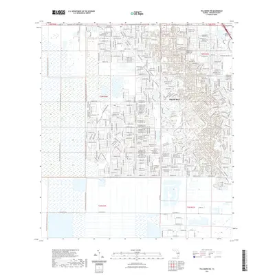
(16)- 2021 Map of Deer Park SE, 2021 Print
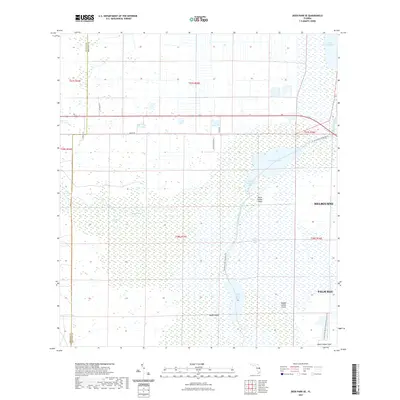 2021 Deer Park SE2021 Print · USGSCovers Palm Bay, including Brevard County, Osceola County, and other nearby areas
 - 2021 Map of Fellsmere SW, 2021 Print
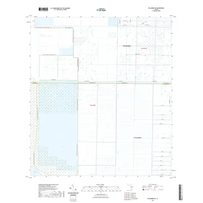 2021 Fellsmere SW2021 Print · USGSCovers Palm Bay, including Fellsmere, Brevard County, and other nearby areas
 - 2021 Map of Grant, 2021 Print
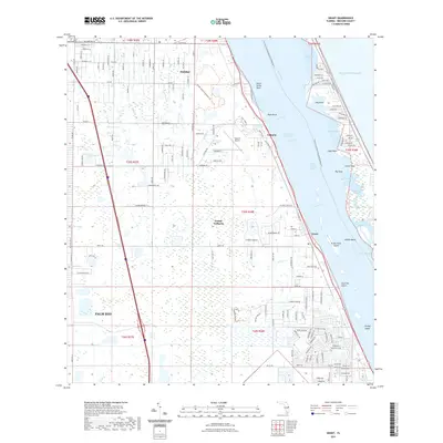 2021 Grant2021 Print · USGSCovers Palm Bay, including Grant-Valkaria, Malabar, and other nearby areas
 - 2021 Map of Fellsmere, 2021 Print
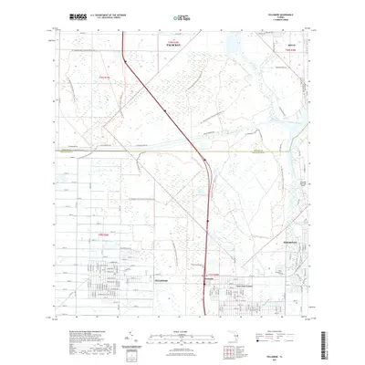 2021 Fellsmere2021 Print · USGSCovers Palm Bay, including Sebastian, Micco, and other nearby areas
 - 2021 Map of Kenansville NE, 2021 Print
 2021 Kenansville NE2021 Print · USGSCovers Palm Bay, including Brevard County, Osceola County, and other nearby areas
 - 2021 Map of Melbourne East, 2021 Print
 2021 Melbourne East2021 Print · USGSCovers Palm Bay, including Melbourne, Melbourne Beach, and other nearby areas
 - 2021 Map of Melbourne West, 2021 Print
 2021 Melbourne West2021 Print · USGSCovers Palm Bay, including Melbourne, West Melbourne, and other nearby areas
 - 2021 Map of Fellsmere NW, 2021 Print
 2021 Fellsmere NW2021 Print · USGSCovers Palm Bay, including Brevard County, United States, and other nearby areas
 - 2024 Map of Fellsmere SW, 2024 Print
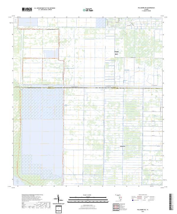 2024 Fellsmere SW2024 Print · USGSCoastal wetlands meet organized grid-work in this recent survey of the Brevard and Indian River county line. Genealogists and local historians can trace the development of Fellsmere and Palm Bay alongside the Blue Cypress Conservation Area Trl.
 - 2024 Map of Fellsmere, 2024 Print
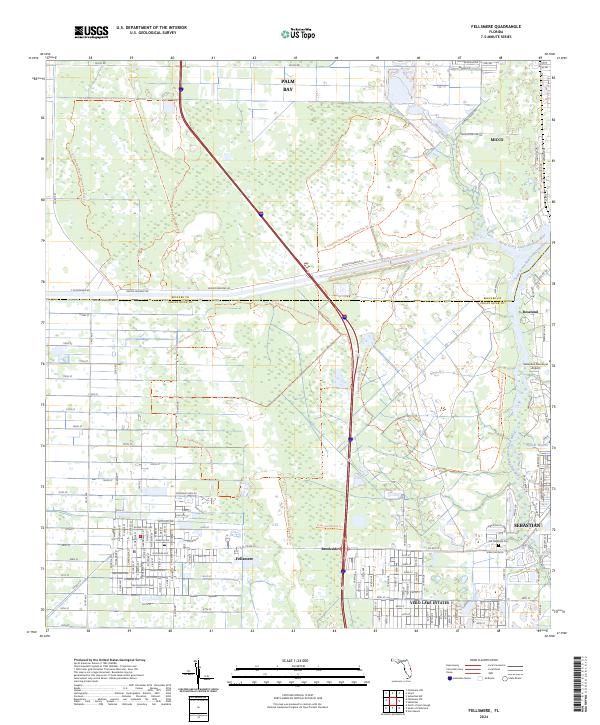 2024 Fellsmere2024 Print · USGSThe Florida coast meets the river marshes in this modern survey of Indian River County. Researchers can trace historical corridors like the Trans-Florida Rail-Trl and locate local landmarks such as the Old Sebastian Cem or Fellsmere.
 - 2024 Map of Kenansville NE, 2024 Print
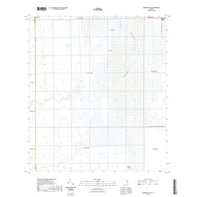
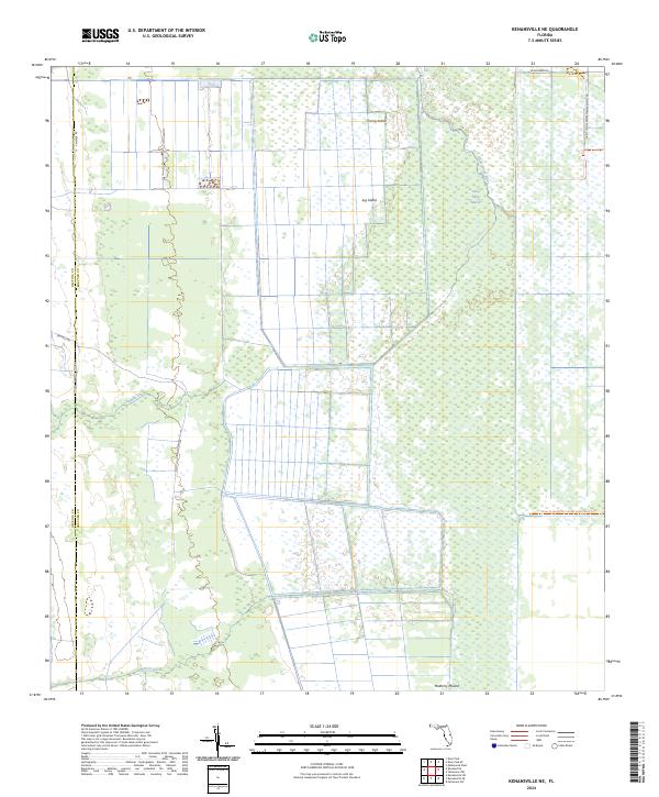 2024 Kenansville NE2024 Print · USGSThe headwaters of the St. Johns River unfold here in the early twenty-first century, showing the meeting of rural Osceola and Brevard counties. You can trace island hammocks like Jug Island and river routes such as the St Johns River Blueway Trl.
 - 2024 Map of Deer Park SE, 2024 Print
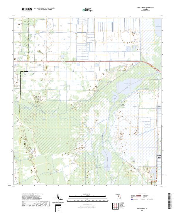 2024 Deer Park SE2024 Print · USGSThe Saint Johns River wetlands and Osceola-Brevard county line are captured here in a period of modern conservation. Local historians and explorers can trace the locations of North Indian Field, the waters of Lake Hellen Blazes, and the St Johns River Blueway Trail.
 - 2024 Map of Melbourne East, 2024 Print
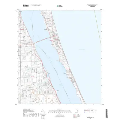
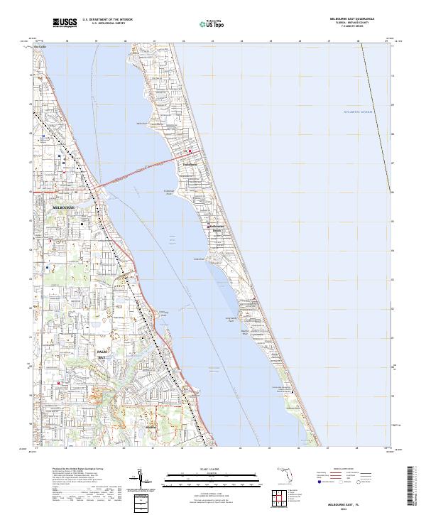 2024 Melbourne East2024 Print · USGSCoastal Brevard County comes into sharp focus in this recent survey of the Space Coast’s urban and natural corridors. Researchers can trace the development of Palm Bay and Melbourne while locating landmarks like Saint Joseph Cem and the Archie Carr National Wildlife Refuge.
 - 2024 Map of Melbourne West, 2024 Print
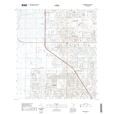
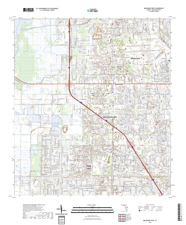 2024 Melbourne West2024 Print · USGSBrevard County's modern urban corridor meets the Florida wilderness in this detailed contemporary portrait of the Space Coast's western suburbs. Researchers can trace the development of West Melbourne and Palm Bay or locate landmarks like the Brevard County Courthouse.
 - 2024 Map of Fellsmere NW, 2024 Print
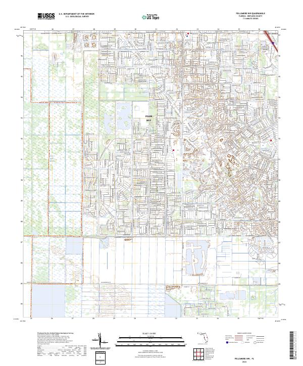 2024 Fellsmere NW2024 Print · USGSPalm Bay and the Brevard County wetlands are shown in the 2020s as suburban growth meets the Florida interior. Trace the residential street grid toward Saint Johns Marsh or locate landmarks like the University of Central Florida Palm Bay.
 - 2024 Map of Grant, 2024 Print
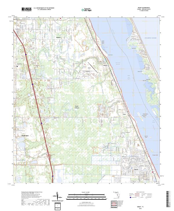 2024 Grant2024 Print · USGSBrevard County's Atlantic coast and lagoon system are shown in detail here in the mid-2020s. Researchers can trace the development of Grant-Valkaria and Malabar or locate family sites at Fountainhead Memorial Park Cem.
End of results
Showing maps 1-16 of 16
Top cities near Palm Bay
- Melbourne historical maps
- West Melbourne historical maps
- Sebastian historical maps
- Satellite Beach historical maps
- Micco historical maps
- Indian Harbour Beach historical maps
See more
Top neighborhoods of Palm Bay
- Bayside Lakes historical maps
- Country Club Vista historical maps
- Holiday Park historical maps
- Woodlake Village historical maps
- The Falls historical maps
- Vista Oaks historical maps
See more
Frequently asked questions
- What are the different types of historical maps available for Palm Bay?
- What is the oldest map of Palm Bay?
- Where can I purchase historical maps of Palm Bay for my home or office?
- Where can I download high-res historical maps of Palm Bay?
- Are there historical topographic maps available for Palm Bay?
- Is there historical aerial imagery available for Palm Bay?
- Where are historical maps of Palm Bay sourced from?