Old Maps of Century, Florida for Academic Research
Study the evolution of Century with 19 high-resolution historic maps. Whether you're teaching, researching, or modeling changes in land use, these maps provide essential visual documentation of urban, environmental, and geographic change.
- Analyze long-term change: Track patterns in development, transportation, and natural features.
- Ideal for environmental or urban studies: Support academic projects with primary historical map data.
- Use in the classroom or lab: Educators and researchers rely on these maps to bring historical context to life.
These maps are a powerful tool for teaching, research, and visualizing how Century has changed over the decades.
Century, FL maps
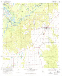
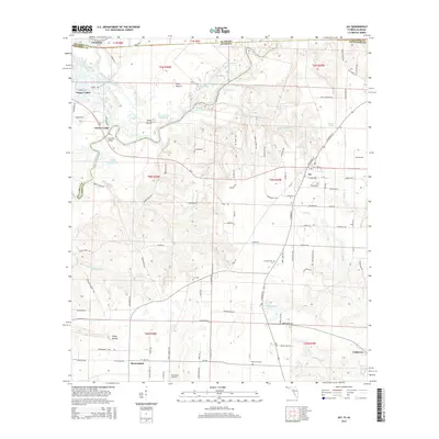
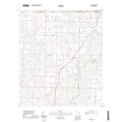
(19)- 1941 Map of Century, 1962 Print
 1941 Century1962 Print · USGSThe Florida-Alabama borderlands come alive in the early 1940s as a landscape of river-bottom wetlands and upland rail towns. Genealogists can trace family roots at Coon Hill Cem, Kays Chapel, and long-standing schools like Pine Barren Sch.2 unique versions available
 - 1943 Map of Century
 1943 Century1943 Print · USGSThe Florida-Alabama borderlands in the 1940s are defined by the winding Escambia River and a thriving rail-and-timber network. Researchers can trace rural life through family-named landmarks like Coon Hill Cem, Ward Sch, and Chumuckla Springs.2 unique versions available
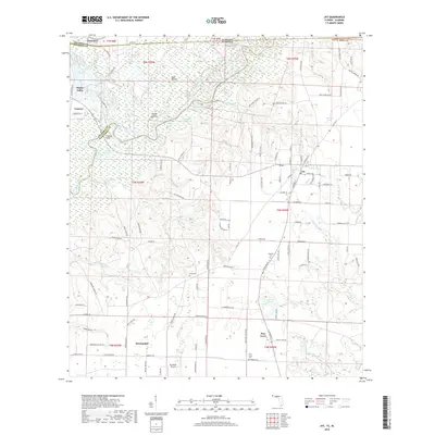
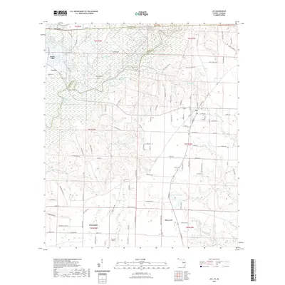
 - 1943 Map of Jay
 1943 Jay1943 Print · USGSSanta Rosa County's agricultural and riverine heartland is captured here during the early years of the Second World War. Researchers can locate vanished landmarks like Catawba Fidelis Sch and Old Fidelis Cem or trace family roots in Jay and Chumuckla.4 unique versions available
 - 1957 Map of Pensacola, 1967 Print
 1957 Pensacola1967 Print · USGSThe Florida Panhandle and Alabama coast are seen here at the height of the Cold War, showcasing a unique mix of military aviation and emerging beach tourism. Genealogists and local historians can trace legacy sites like Old Corry Field, the lumber town of Bagdad, and the coastal reaches of Santa Rosa Island.3 unique versions available
 - 1959 Map of Pensacola
 1959 Pensacola1959 Print · USGSThe Florida Panhandle and Alabama coast come alive in this late fifties survey of military aviation and maritime life. Genealogists can trace family roots in Bagdad, Loxley, and Milton while mapping the rails of the Louisville and Nashville.
 - 1960 Map of Pensacola
 1960 Pensacola1960 Print · USGSThe Florida Panhandle and Alabama's eastern shore are shown during a period of rapid military and coastal growth. Genealogists and historians can trace the mid-century footprints of Warrington, the Pensacola NAS (Chevalier), and the Blackwater River timber lands.
 - 1978 Map of Jay
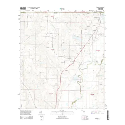
 1978 Jay1978 Print · USGSThe Jay area of Santa Rosa County was a bustling center of energy production and river-bottom agriculture in the late seventies. Researchers can trace rural family roots through landmarks like McCostill Cem, Ebenezer Ch, and the extensive Oil Field.4 unique versions available
 - 1978 Map of Century
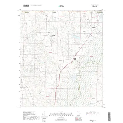
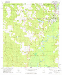 1978 Century1978 Print · USGSThe Florida-Alabama state line and the winding Escambia River define this region in the late seventies. Researchers can trace family history through sites like Carney Cem, Byrneville Ch, and the old Louisville and Nashville rail lines.
 - 1981 Map of Bay Minette
 1981 Bay Minette1981 Print · USGSThe Alabama-Florida borderlands come to life in the early 1980s as the river delta meets the growing coastal communities. Researchers can trace the Louisville and Nashville rail lines or locate historical points like Twenty-two Mile Bluff and the Blackwater River State Forest.2 unique versions available
 - 2012 Map of Century, 2012 Print
 2012 Century2012 Print · USGSCovers Century, including Flomaton, Gandyville, and other nearby areas
 - 2012 Map of Jay, 2012 Print
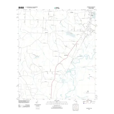
 2012 Jay2012 Print · USGSCovers Century, including Flomaton, Jay, and other nearby areas
 - 2015 Map of Jay, 2015 Print
 2015 Jay2015 Print · USGSCovers Century, including Flomaton, Jay, and other nearby areas
 - 2015 Map of Century, 2015 Print
 2015 Century2015 Print · USGSCovers Century, including Flomaton, Gandyville, and other nearby areas
 - 2018 Map of Jay, 2018 Print
 2018 Jay2018 Print · USGSCovers Century, including Flomaton, Jay, and other nearby areas
 - 2018 Map of Century, 2018 Print
 2018 Century2018 Print · USGSCovers Century, including Flomaton, Gandyville, and other nearby areas
 - 2021 Map of Century, 2021 Print
 2021 Century2021 Print · USGSCovers Century, including Flomaton, Gandyville, and other nearby areas
 - 2021 Map of Jay, 2021 Print
 2021 Jay2021 Print · USGSCovers Century, including Flomaton, Jay, and other nearby areas
 - 2024 Map of Century, 2024 Print
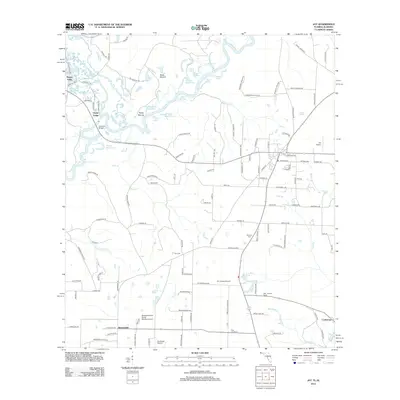
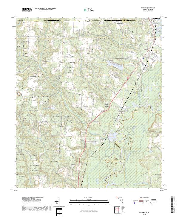 2024 Century2024 Print · USGSNorthern Escambia County and the Alabama borderlands are detailed in this modern survey. Genealogists can trace family landmarks like Purifoy Cem, Carnley Cem, and settlements including Century and Bluff Springs.
 - 2024 Map of Jay, 2024 Print
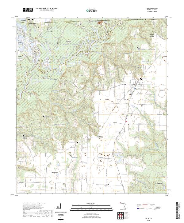 2024 Jay2024 Print · USGSThe Florida-Alabama borderlands come to life in this detailed study of the Santa Rosa County interior. Genealogists and local historians can trace family plots and rural landmarks like Bethel Holiness Church Cem, Jay Cem, and the unique mounds at Sand Mound.
End of results
Showing maps 1-19 of 19
Top cities near Century
- Atmore historical maps
- Brewton historical maps
- East Brewton historical maps
- Flomaton historical maps
- McDavid historical maps
- Jay historical maps
See more
Top neighborhoods of Century
Frequently asked questions
- What are the different types of historical maps available for Century?
- What is the oldest map of Century?
- Where can I purchase historical maps of Century for my home or office?
- Where can I download high-res historical maps of Century?
- Are there historical topographic maps available for Century?
- Is there historical aerial imagery available for Century?
- Where are historical maps of Century sourced from?