2020s Maps of Jefferson County, Florida
Explore 44 historic maps of Jefferson County from the 2020s. These maps offer a rare glimpse into what life looked like during the 2020s — showing old roads, neighborhoods, homes, and landmarks that have changed or disappeared over time.
Whether you're researching your family's past, planning a metal detecting trip, or studying how Jefferson County's landscape evolved across the 2020s, these high-resolution maps are a powerful tool for exploring the history of this region.
- Focus on a specific era: All maps on this page are from the 2020s, giving you a focused view of this time period.
- See what’s changed: Compare century-old streets, trails, and buildings to today's modern landscape using overlays and satellite layers.
- Research with precision: Use these maps for genealogy, historical research, land use analysis, or educational projects.
- View, download, or print: Maps are fully viewable online in high resolution, and can be downloaded or printed for your own records.
Start exploring Jefferson County's history through authentic maps from the 2020s. This is your window into the past.
Jefferson County, FL maps
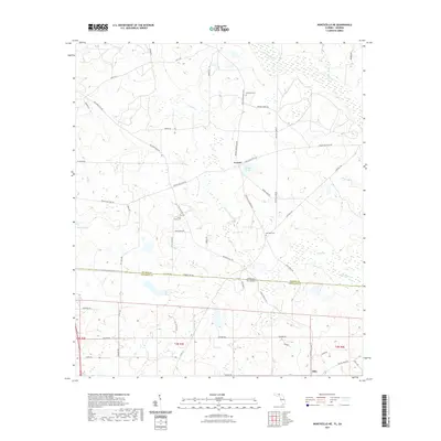
(44)- 2020 Map of Metcalf, 2020 Print
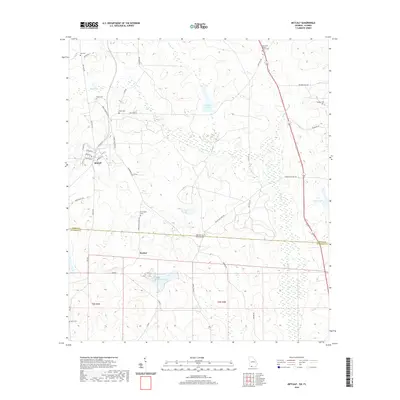 2020 Metcalf2020 Print · USGSCovers Jefferson County, including Glasgow, Metcalfe, and other nearby areas
 - 2020 Map of Grooverville, 2020 Print
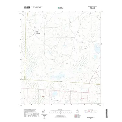 2020 Grooverville2020 Print · USGSCovers Jefferson County, including Piscola, Grooverville, and other nearby areas
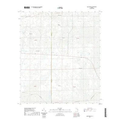
 - 2020 Map of Baden, 2020 Print
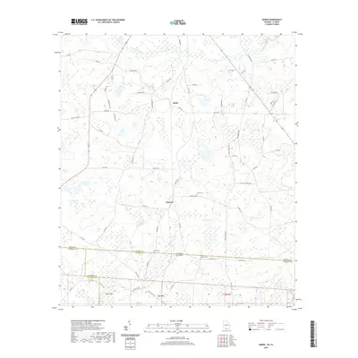 2020 Baden2020 Print · USGSCovers Jefferson County, including Baden, Lovett, and other nearby areas
 - 2020 Map of Miccosukee NE, 2020 Print
 2020 Miccosukee NE2020 Print · USGSCovers Jefferson County, including Leon County, Thomas County, and other nearby areas
 - 2021 Map of Cobb Rocks, 2021 Print
 2021 Cobb Rocks2021 Print · USGSCovers Jefferson County, including Wakulla County, United States, and other nearby areas
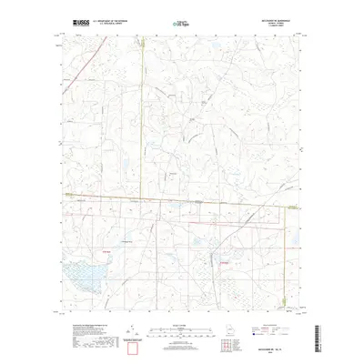
 - 2021 Map of Nutall Rise, 2021 Print
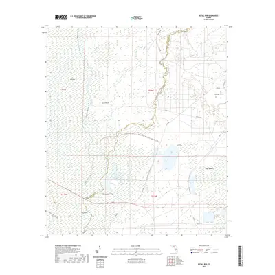 2021 Nutall Rise2021 Print · USGSCovers Jefferson County, including Buckhorn, Scanlon, and other nearby areas
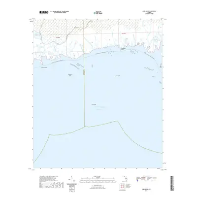
 - 2021 Map of Lake Miccosukee, 2021 Print
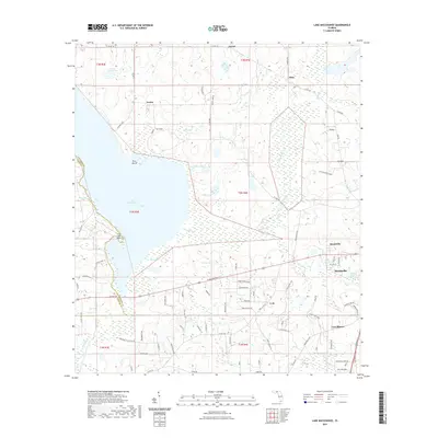 2021 Lake Miccosukee2021 Print · USGSCovers Jefferson County, including Monticello, Lois, and other nearby areas
 - 2021 Map of Ashville, 2021 Print
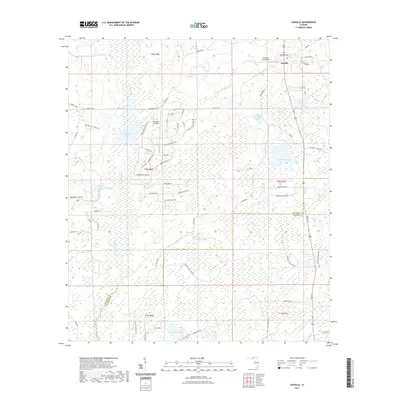 2021 Ashville2021 Print · USGSCovers Jefferson County, including Ashville, Madison County, and other nearby areas
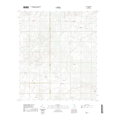
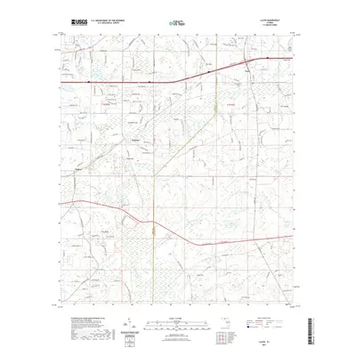
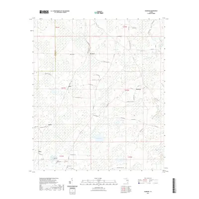
 - 2021 Map of Lamont, 2021 Print
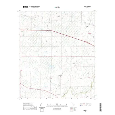 2021 Lamont2021 Print · USGSCovers Jefferson County, including Lamont, Aucilla, and other nearby areas
 - 2021 Map of Lamont SE, 2021 Print
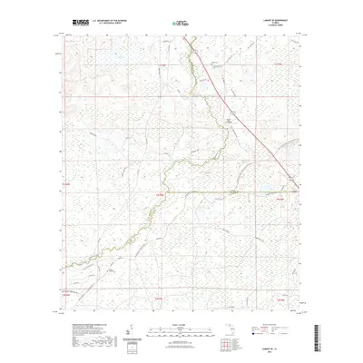 2021 Lamont SE2021 Print · USGSCovers Jefferson County, including Covington, Taylor County, and other nearby areas
 - 2021 Map of Wacissa, 2021 Print
 2021 Wacissa2021 Print · USGSCovers Jefferson County, including Wacissa, Thomas City, and other nearby areas
 - 2021 Map of Monticello, 2021 Print
 2021 Monticello2021 Print · USGSCovers Jefferson County, including Monticello, Dills, and other nearby areas
 - 2021 Map of Cody, 2021 Print
 2021 Cody2021 Print · USGSCovers Jefferson County, including Limestone, Fanlew, and other nearby areas
 - 2021 Map of Lloyd, 2021 Print
 2021 Lloyd2021 Print · USGSCovers Jefferson County, including Capitola, Chaires, and other nearby areas
 - 2021 Map of Miccosukee, 2021 Print
 2021 Miccosukee2021 Print · USGSCovers Jefferson County, including Felkel, Wadesboro, and other nearby areas
 - 2021 Map of Saint Marks NE, 2021 Print
 2021 Saint Marks NE2021 Print · USGSCovers Jefferson County, including Wakulla County, United States, and other nearby areas
 - 2021 Map of Hamburg, 2021 Print
 2021 Hamburg2021 Print · USGSCovers Jefferson County, including Maysland, Dennet, and other nearby areas
 - 2021 Map of Waukeenah, 2021 Print
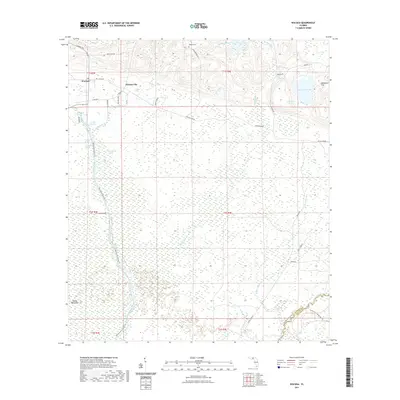
 2021 Waukeenah2021 Print · USGSCovers Jefferson County, including Waukeenah, Capps, and other nearby areas
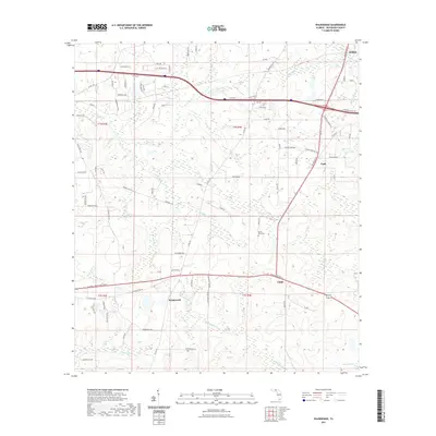
 - 2021 Map of Monticello NE, 2021 Print
 2021 Monticello NE2021 Print · USGSCovers Jefferson County, including Everett, Thomas County, and other nearby areas
 - 2021 Map of Greenville, 2021 Print
 2021 Greenville2021 Print · USGSCovers Jefferson County, including Greenville, Stern, and other nearby areas
 - 2021 Map of Snipe Island, 2021 Print
 2021 Snipe Island2021 Print · USGSCovers Jefferson County, including Mandalay, Taylor County, and other nearby areas
 - 2024 Map of Grooverville, 2024 Print
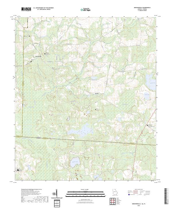 2024 Grooverville2024 Print · USGSGeorgia's southern borderlands near Grooverville are captured here in the 2020s, showing a landscape shaped by rural farmsteads and deep swamp drainage. Researchers can locate numerous historic burial sites such as Grooverville Cem, Sanders Cem, and Faglie Cem.
 - 2024 Map of Miccosukee NE, 2024 Print
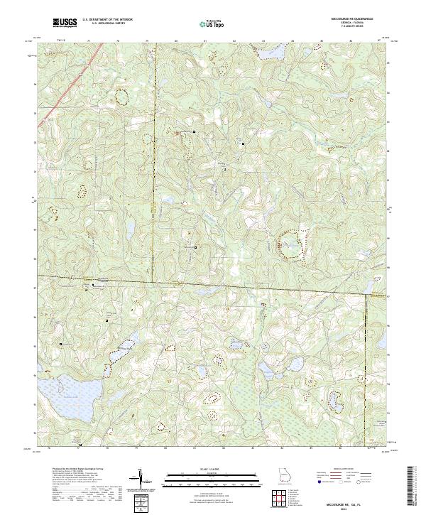 2024 Miccosukee NE2024 Print · USGSStraddling the Georgia-Florida line in the early twenty-first century, this landscape is defined by large landholdings and numerous community burial grounds. Researchers can locate family landmarks like the Massey and Pope Cem or the Old Union African American Cem and trace the shores of Foshalee Lake.
 - 2024 Map of Baden, 2024 Print
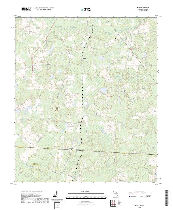 2024 Baden2024 Print · USGSThe Georgia-Florida borderlands come into focus in this recent survey of the rural landscape between Brooks, Madison, and Jefferson counties. Genealogists can trace family footprints across several sites like Pineview Cem and the small settlement of Empress.
 - 2024 Map of Wacissa, 2024 Print
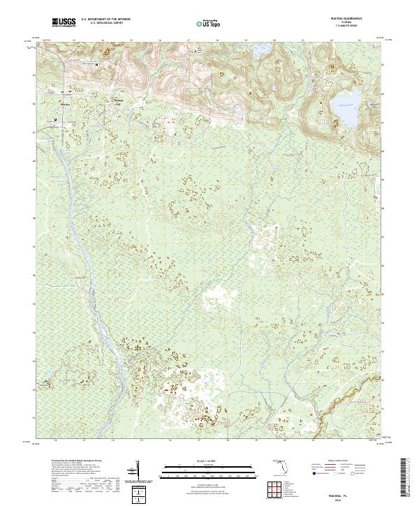 2024 Wacissa2024 Print · USGSThe springs and river swamps of Jefferson County are captured here in the mid-2020s. Local researchers can trace the hydrology of Lake Iamonia and locate family burial grounds at Rudell Cem and Walker Cem.
Showing maps 1-25 of 44
Top cities of Jefferson County
Frequently asked questions
- What are the different types of historical maps available for Jefferson County?
- What is the oldest map of Jefferson County?
- Where can I purchase historical maps of Jefferson County for my home or office?
- Where can I download high-res historical maps of Jefferson County?
- Are there historical topographic maps available for Jefferson County?
- Is there historical aerial imagery available for Jefferson County?
- Where are historical maps of Jefferson County sourced from?