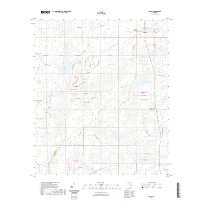
2021 Map of Ashville
USGS Topo · Published 2021About this map
Ashville and the nearby community of Jefferson Landings anchor this landscape of north-central Florida, where the Aucilla River meanders southward along the eastern boundary of Jefferson County. The terrain is defined by a series of significant wetlands and ponds, including the expansive Reed Branch Swamp and Gum Swamp, which separate the higher ground of The Flat from the surrounding water bodies.
Find a feature on this map
74 named features on this map. Tap any name to fly to it.
Don’t see what you’re looking for? This feature index may not catch every label — zoom into the map to look around manually.
Map Details
Editions of this 2021 Ashville Map
This is the sole edition of this map. No revisions or reprints were ever made.
Other maps of this area

1954 · Greenville
USGS Topo · 1:24,000

1954 · Greenville NE
USGS Topo · 1:24,000

1954 · Valdosta
USGS Topo · 1:250,000

1955 · Lamont
USGS Topo · 1:24,000

1956 · Grooverville
USGS Topo · 1:24,000

1956 · Monticello NE
USGS Topo · 1:24,000

1956 · Baden
USGS Topo · 1:24,000

1958 · Valdosta
USGS Topo · 1:250,000

1959 · Valdosta
USGS Topo · 1:250,000

1962 · Ashville
USGS Topo · 1:24,000