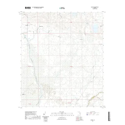
2021 Map of Wacissa
USGS Topo · Published 2021About this map
Wacissa and Thomas City stand at the edge of a landscape defined by its subterranean hydrology, where numerous springs and sinks feed the local river systems. The northern portion of the map is characterized by family-named landmarks like Walker Cem and local routes including Beth Page Rd and Gamble Rd. To the south, the terrain transitions into a dense wetland network, dominated by the Wacissa River and its associated tributaries.
Find a feature on this map
47 named features on this map. Tap any name to fly to it.
Don’t see what you’re looking for? This feature index may not catch every label — zoom into the map to look around manually.
Map Details
Editions of this 2021 Wacissa Map
This is the sole edition of this map. No revisions or reprints were ever made.
Other maps of this area

1954 · Johnson Hammock
USGS Topo · 1:24,000

1954 · Lloyd
USGS Topo · 1:24,000

1954 · Cody
USGS Topo · 1:24,000

1954 · St. Marks NE
USGS Topo · 1:24,000

1954 · Valdosta
USGS Topo · 1:250,000

1954 · Tallahassee
USGS Topo · 1:250,000

1955 · Lamont
USGS Topo · 1:24,000

1955 · Waukeenah
USGS Topo · 1:24,000

1955 · Nutall Rise
USGS Topo · 1:24,000

1955 · Lamont SE
USGS Topo · 1:24,000