2020s Maps of Cape Coral, Florida
Explore 12 historic maps of Cape Coral from the 2020s. These maps offer a rare glimpse into what life looked like during the 2020s — showing old roads, neighborhoods, homes, and landmarks that have changed or disappeared over time.
Whether you're researching your family's past, planning a metal detecting trip, or studying how Cape Coral's landscape evolved across the 2020s, these high-resolution maps are a powerful tool for exploring the history of this region.
- Focus on a specific era: All maps on this page are from the 2020s, giving you a focused view of this time period.
- See what’s changed: Compare century-old streets, trails, and buildings to today's modern landscape using overlays and satellite layers.
- Research with precision: Use these maps for genealogy, historical research, land use analysis, or educational projects.
- View, download, or print: Maps are fully viewable online in high resolution, and can be downloaded or printed for your own records.
Start exploring Cape Coral's history through authentic maps from the 2020s. This is your window into the past.
Cape Coral, FL maps
(12)- 2021 Map of Pine Island Center, 2021 Print
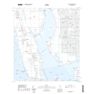 2021 Pine Island Center2021 Print · USGSCovers Cape Coral, including Pine Island Center, Flamingo Bay, and other nearby areas
 - 2021 Map of Gilchrist, 2021 Print
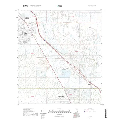 2021 Gilchrist2021 Print · USGSCovers Cape Coral, including Gilchrist, Tropical Gulf Acres, and other nearby areas
 - 2021 Map of Punta Gorda SE, 2021 Print
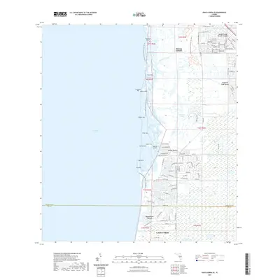 2021 Punta Gorda SE2021 Print · USGSCovers Cape Coral, including Punta Gorda, Burnt Store Marina, and other nearby areas
 - 2021 Map of Matlacha, 2021 Print
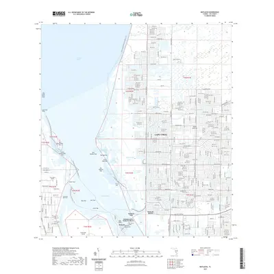 2021 Matlacha2021 Print · USGSCovers Cape Coral, including Blue Crab Key Condos, Matlacha, and other nearby areas
 - 2021 Map of Fort Myers SW, 2021 Print
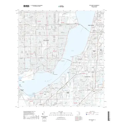 2021 Fort Myers SW2021 Print · USGSCovers Cape Coral, including Fort Myers, McGregor Park, and other nearby areas
 - 2021 Map of Fort Myers NW, 2021 Print
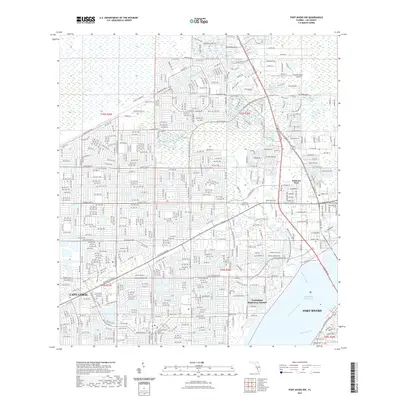 2021 Fort Myers NW2021 Print · USGSCovers Cape Coral, including Fort Myers, North Fort Myers, and other nearby areas
 - 2024 Map of Fort Myers SW, 2024 Print
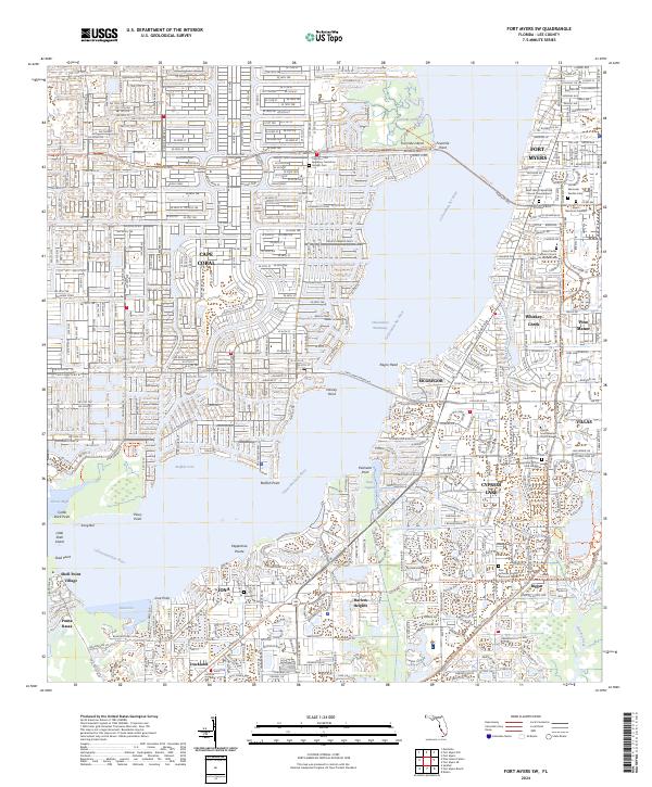 2024 Fort Myers SW2024 Print · USGSCoastal Lee County is defined here by the wide Caloosahatchee River and the expanding residential corridors of the modern era. Genealogists and local historians can trace the growth of communities like Iona, Harlem Heights, and the grounds of Fort Myers Memorial Gardens.
 - 2024 Map of Matlacha, 2024 Print
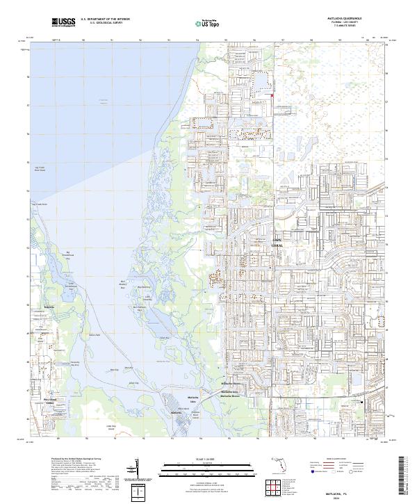 2024 Matlacha2024 Print · USGSPine Island and the western edge of Cape Coral are shown here in the 2020s, highlighting the balance between residential development and environmental preservation. Researchers can trace the layout of Matlacha Isles, locate the Pine Island Airport, and explore the protected keys within Matlacha Pass.
 - 2024 Map of Gilchrist, 2024 Print
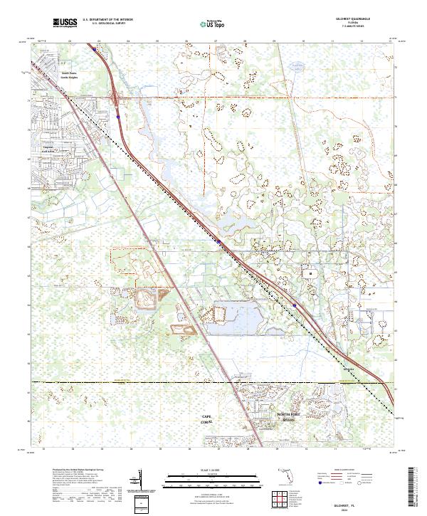 2024 Gilchrist2024 Print · USGSCoastal Florida's evolving landscape is captured here as residential grids meet vast conservation areas in the 2020s. Researchers can trace the layout of Tropical Gulf Acres and South Punta Gorda Heights or explore the preserved wetlands of the Babcock Webb Wildlife Management Area Trl.
 - 2024 Map of Fort Myers NW, 2024 Print
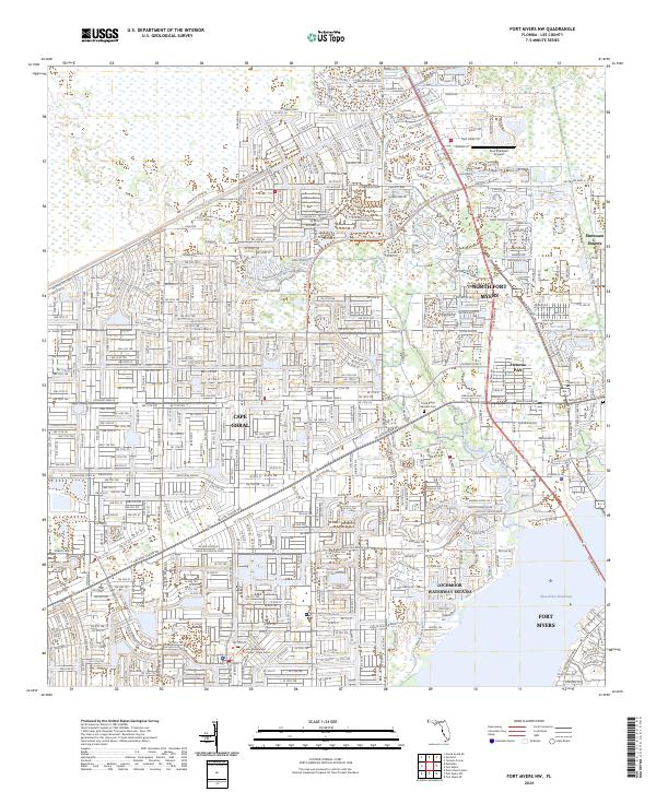 2024 Fort Myers NW2024 Print · USGSThe rapid development of Lee County's Gulf Coast is on full display in this modern survey of Cape Coral and its surrounding waterways. Genealogists and researchers can trace local landmarks like Coral Ridge Gardens Cemetery or the residential grids of Palmona Park and Suncoast Estates.
 - 2024 Map of Pine Island Center, 2024 Print
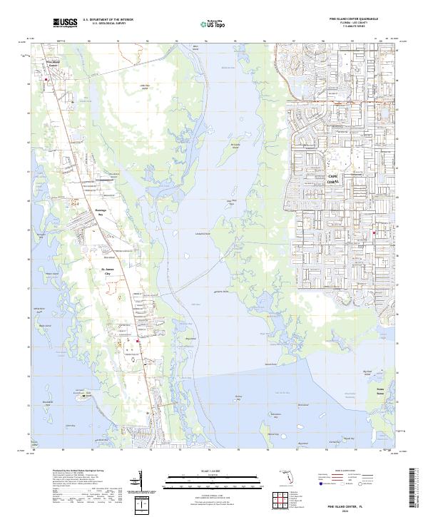 2024 Pine Island Center2024 Print · USGSPine Island and the coastal reaches of Lee County are shown here in recent detail, documenting the intersection of conservation lands and residential growth. Genealogists and local historians can locate the Galt Island Burial Mound, the waterfront layout of St. James City, and the Woodstock Airport.
 - 2024 Map of Punta Gorda SE, 2024 Print
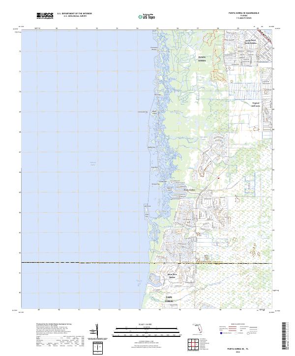 2024 Punta Gorda SE2024 Print · USGSThe Charlotte Harbor coastline comes alive in this modern survey of the region south of Punta Gorda. Trace the intersection of nature and development from the ancient Cockroach Mound to the modern docks at Burnt Store Marina and Pirate Harbor.
End of results
Showing maps 1-12 of 12
Top cities near Cape Coral
- Fort Myers historical maps
- North Fort Myers historical maps
- Punta Gorda historical maps
- Fort Myers Beach historical maps
- Sanibel historical maps
Top neighborhoods of Cape Coral
Frequently asked questions
- What are the different types of historical maps available for Cape Coral?
- What is the oldest map of Cape Coral?
- Where can I purchase historical maps of Cape Coral for my home or office?
- Where can I download high-res historical maps of Cape Coral?
- Are there historical topographic maps available for Cape Coral?
- Is there historical aerial imagery available for Cape Coral?
- Where are historical maps of Cape Coral sourced from?