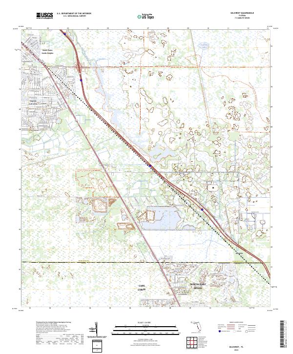
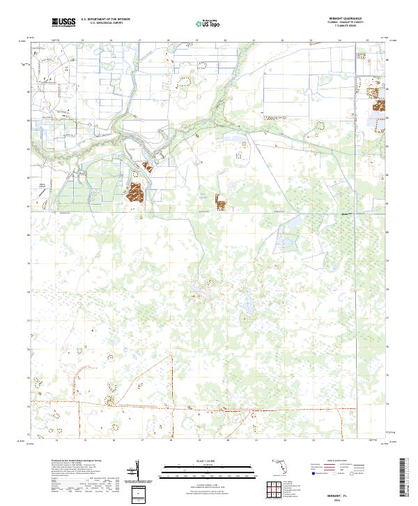
2024 Map of Gilchrist
USGS Topo · Published 2024About this map
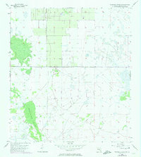
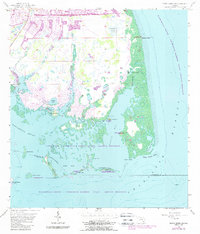
South Punta Gorda Heights and Tropical Gulf Acres anchor the northwestern portion of this coastal Florida landscape, where mid-century residential platting meets the expansive wetlands of the eastern Gulf Coast. The transition from the dense street grids of South Punta Gorda Heights to the sprawling conservation lands of the Babcock Webb Wildlife Management Area Trl illustrates the region's 21st-century balance between development and environmental preservation.
Find a feature on this map
120 named features on this map. Tap any name to fly to it.
Don’t see what you’re looking for? This feature index may not catch every label — zoom into the map to look around manually.
Map Details
Editions of this 2024 Gilchrist Map
This is the sole edition of this map. No revisions or reprints were ever made.
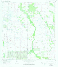
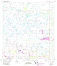
Historical Maps of Cape Coral Through Time
20 maps found
1956 Bermont
Charlotte County, FL
1956 Punta Gorda Se
Charlotte County, FL
1956 Telegraph Swamp
Charlotte County, FL
1956 Telegraph Swamp NW
Charlotte County, FL
1957 El Jobean
Charlotte County, FL
1957 Gilchrist
Charlotte County, FL
1957 Placida
Charlotte County, FL
1957 Punta Gorda Sw
Charlotte County, FL
1957 Telegraph Swamp SE
Charlotte County, FL
1957 Tuckers Corner
Charlotte County, FL
2024 Bermont
Charlotte County, FL
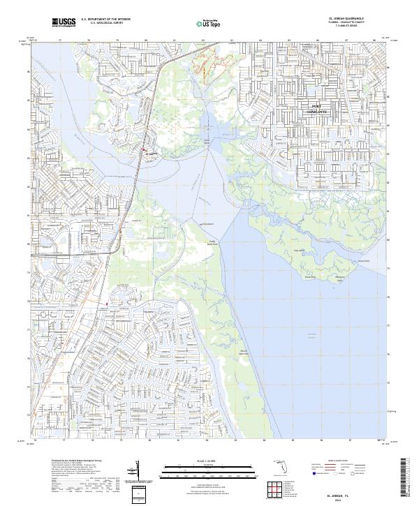
2024 El Jobean
Charlotte County, FL
2024 Gilchrist
Charlotte County, FL
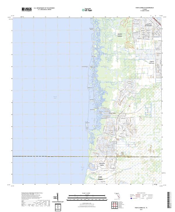
2024 Punta Gorda SE
Charlotte County, FL
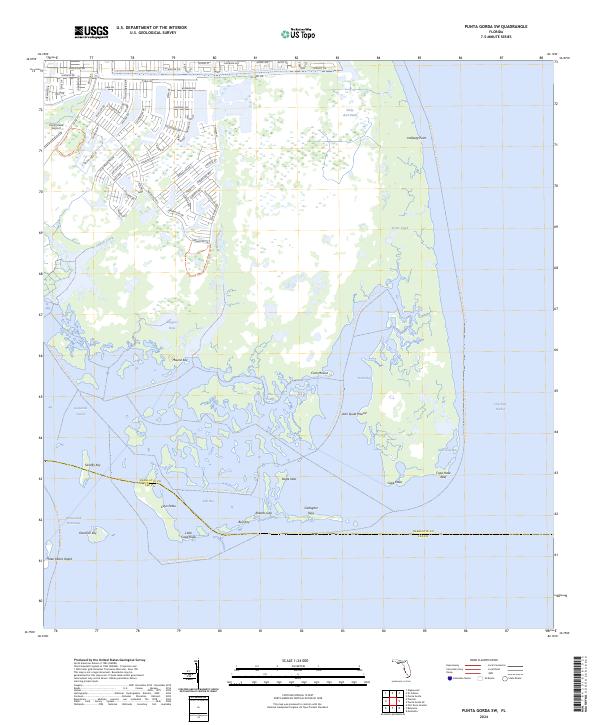
2024 Punta Gorda SW
Charlotte County, FL
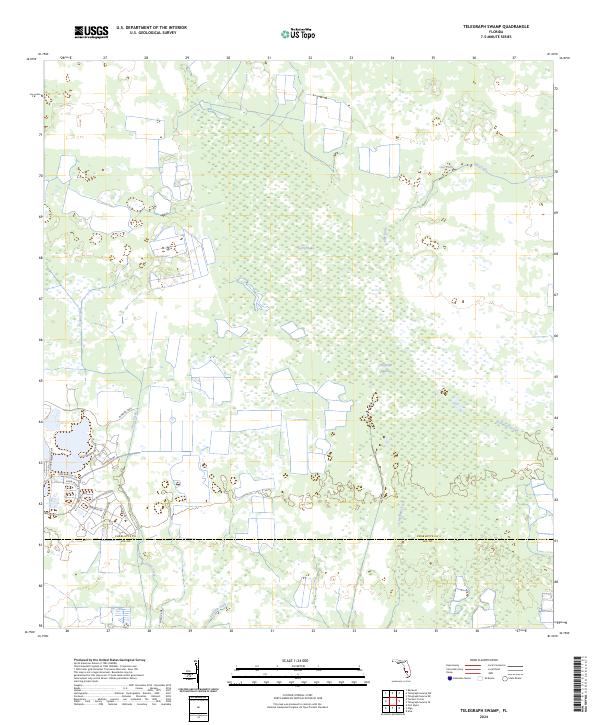
2024 Telegraph Swamp
Charlotte County, FL
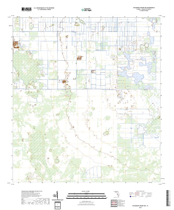
2024 Telegraph Swamp NW
Charlotte County, FL
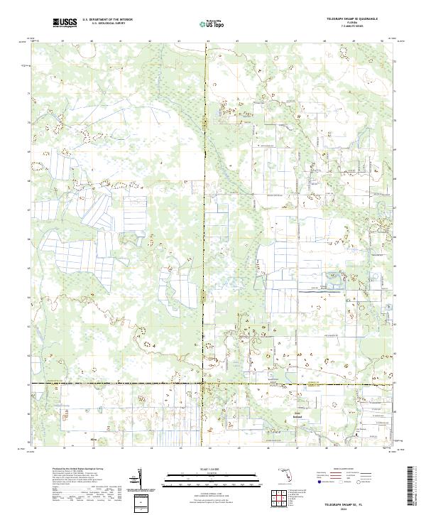
2024 Telegraph Swamp SE
Charlotte County, FL
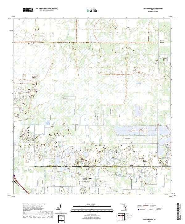
2024 Tuckers Corner
Charlotte County, FL
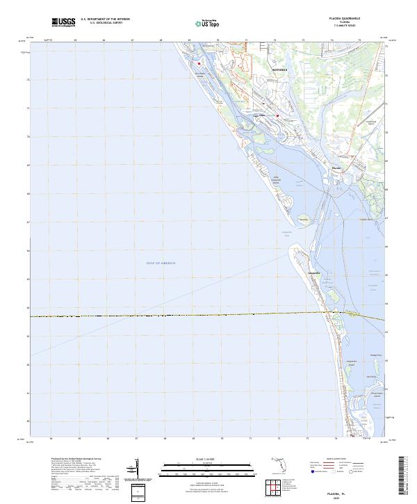
2025 Placida
Charlotte County, FL