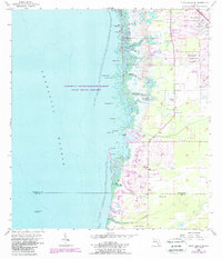
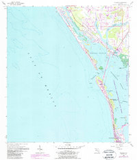
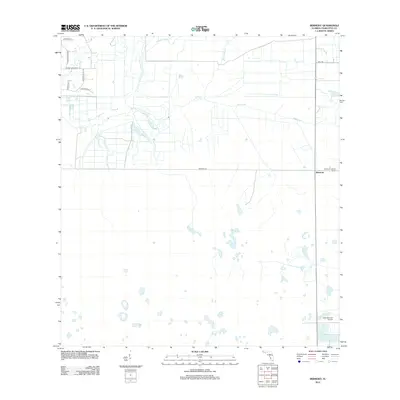
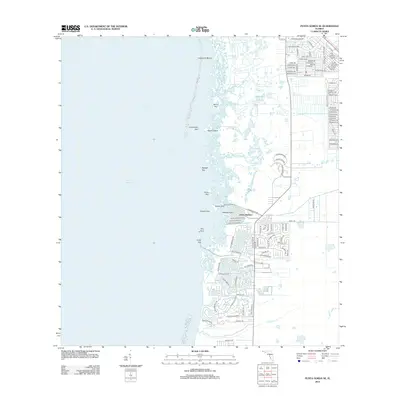
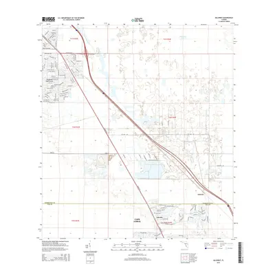
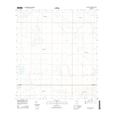
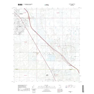
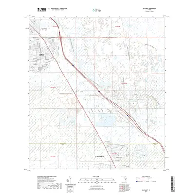
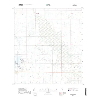
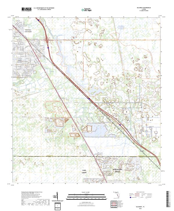
1957 Map of Gilchrist
USGS Topo · Published 1987About this map
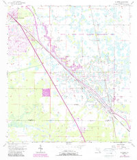
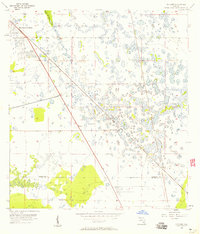
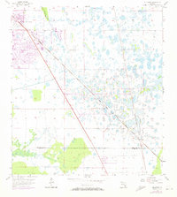
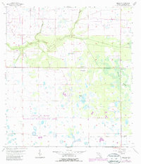
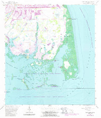
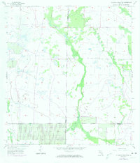
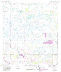
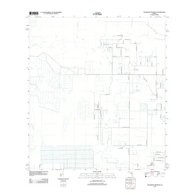
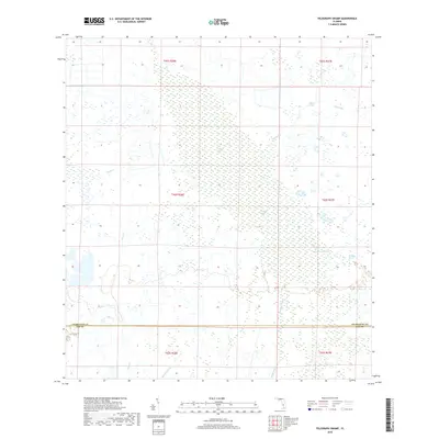
The Cecil M Webb State Wildlife Management Area dominates the eastern half of this landscape, characterized by numerous small ponds and wetland features typical of southwest Florida. Settlement patterns show the growth of South Punta Gorda Heights and Tropical Gulf Acres in the northwest, while the small stop of Gilchrist lies further south near the boundary of the Charlotte Co Lee Co line. Transportation is anchored by the Seaboard System railroad and the highway running parallel to it, cutting a straight diagonal across the terrain. Hydrological details include the winding course of the South Prong Alligator Cr and a specific landmark noted as Flowing Well. This survey captures the transition of the region as residential developments began to encroach on the vast managed wetlands and timbered tracts of Charlotte County.
Find a feature on this map
8 named features on this map. Tap any name to fly to it.
Don’t see what you’re looking for? This feature index may not catch every label — zoom into the map to look around manually.
Map Details
Editions of this 1957 Gilchrist Map
3 editions found
Historical Maps of Cape Coral Through Time
61 maps found
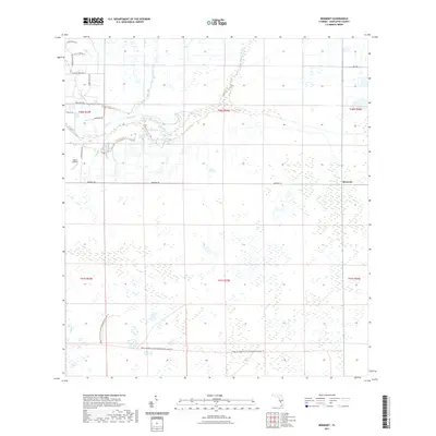
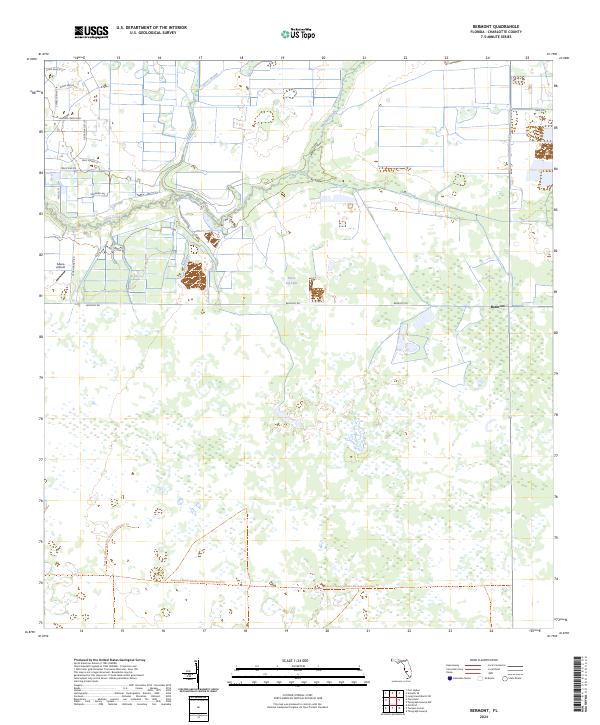
1956 Bermont
Charlotte County, FL
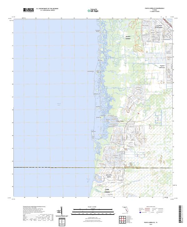
1956 Punta Gorda Se
Charlotte County, FL
1956 Telegraph Swamp
Charlotte County, FL
1956 Telegraph Swamp NW
Charlotte County, FL
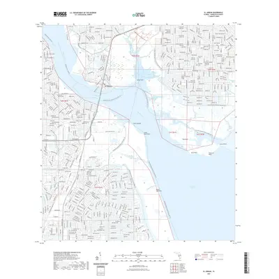
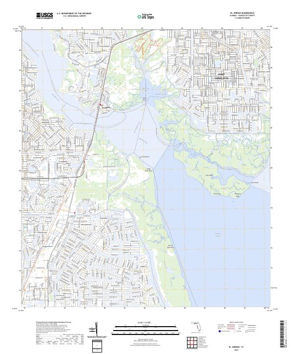
1957 El Jobean
Charlotte County, FL
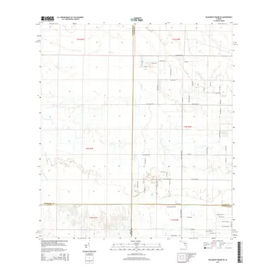
1957 Gilchrist
Charlotte County, FL
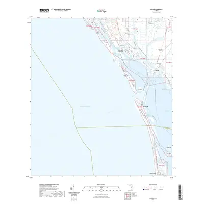
1957 Placida
Charlotte County, FL
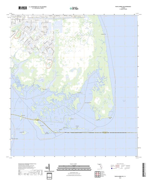
1957 Punta Gorda Sw
Charlotte County, FL
1957 Telegraph Swamp SE
Charlotte County, FL
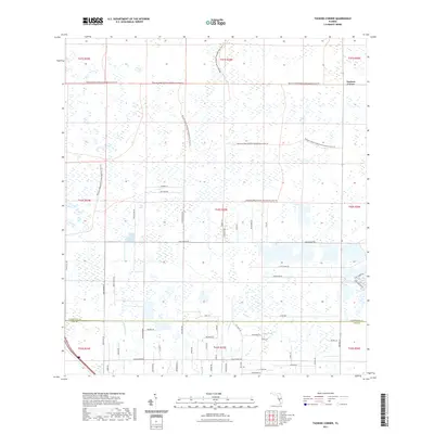
1957 Tuckers Corner
Charlotte County, FL
2012 Bermont
Charlotte County, FL
2012 El Jobean
Charlotte County, FL
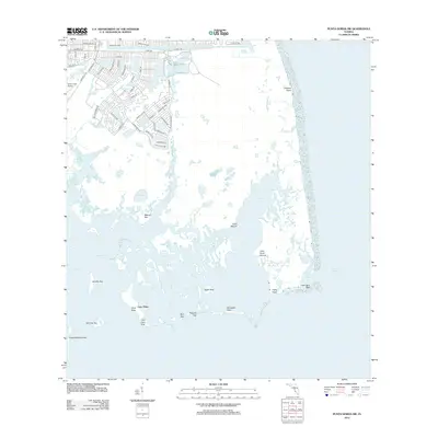
2012 Gilchrist
Charlotte County, FL
2012 Placida
Charlotte County, FL
2012 Punta Gorda SE
Charlotte County, FL
2012 Punta Gorda SW
Charlotte County, FL
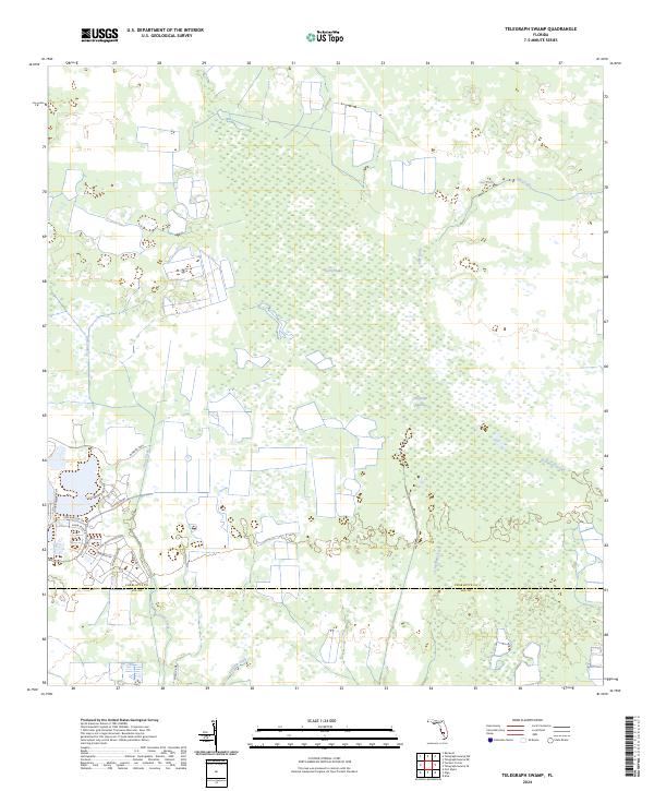
2012 Telegraph Swamp
Charlotte County, FL
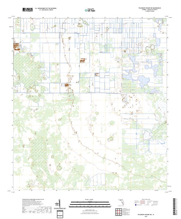
2012 Telegraph Swamp NW
Charlotte County, FL
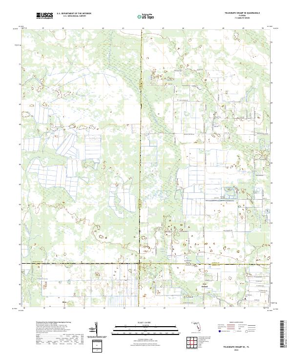
2012 Telegraph Swamp SE
Charlotte County, FL
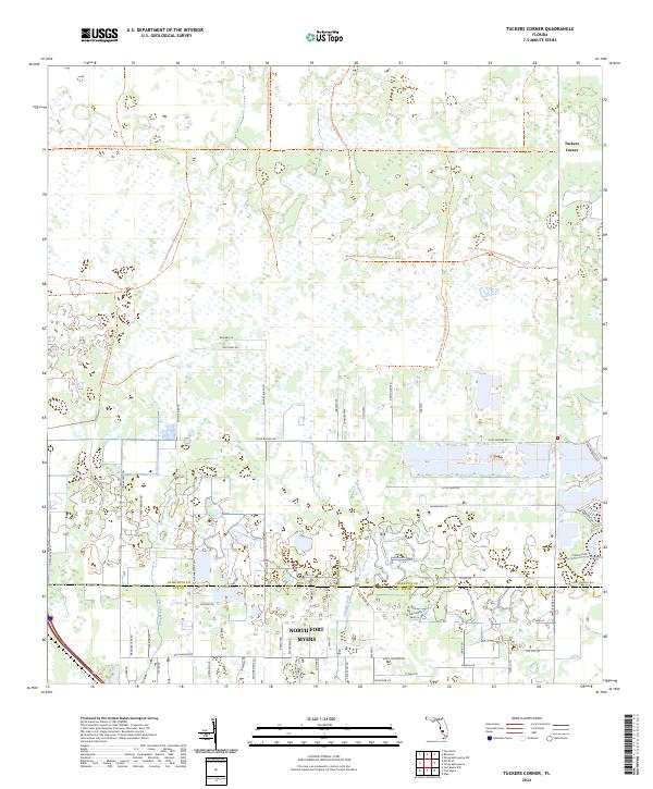
2012 Tuckers Corner
Charlotte County, FL
2015 Bermont
Charlotte County, FL
2015 El Jobean
Charlotte County, FL
2015 Gilchrist
Charlotte County, FL
2015 Placida
Charlotte County, FL
2015 Punta Gorda SE
Charlotte County, FL
2015 Punta Gorda SW
Charlotte County, FL
2015 Telegraph Swamp
Charlotte County, FL

2015 Telegraph Swamp NW
Charlotte County, FL
2015 Telegraph Swamp SE
Charlotte County, FL
2015 Tuckers Corner
Charlotte County, FL
2018 Bermont
Charlotte County, FL

2018 El Jobean
Charlotte County, FL
2018 Gilchrist
Charlotte County, FL
2018 Placida
Charlotte County, FL
2018 Punta Gorda SE
Charlotte County, FL
2018 Punta Gorda SW
Charlotte County, FL
2018 Telegraph Swamp
Charlotte County, FL
2018 Telegraph Swamp NW
Charlotte County, FL
2018 Telegraph Swamp SE
Charlotte County, FL
2018 Tuckers Corner
Charlotte County, FL
2021 Bermont
Charlotte County, FL
2021 El Jobean
Charlotte County, FL
2021 Gilchrist
Charlotte County, FL
2021 Placida
Charlotte County, FL

2021 Punta Gorda SE
Charlotte County, FL

2021 Punta Gorda SW
Charlotte County, FL
2021 Telegraph Swamp
Charlotte County, FL

2021 Telegraph Swamp NW
Charlotte County, FL

2021 Telegraph Swamp SE
Charlotte County, FL
2021 Tuckers Corner
Charlotte County, FL
2024 Bermont
Charlotte County, FL
2024 El Jobean
Charlotte County, FL
2024 Gilchrist
Charlotte County, FL
2024 Placida
Charlotte County, FL
2024 Punta Gorda SE
Charlotte County, FL
2024 Punta Gorda SW
Charlotte County, FL
2024 Telegraph Swamp
Charlotte County, FL
2024 Telegraph Swamp NW
Charlotte County, FL
2024 Telegraph Swamp SE
Charlotte County, FL
2024 Tuckers Corner
Charlotte County, FL
2025 Placida
Charlotte County, FL