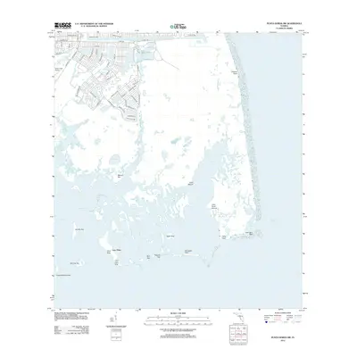
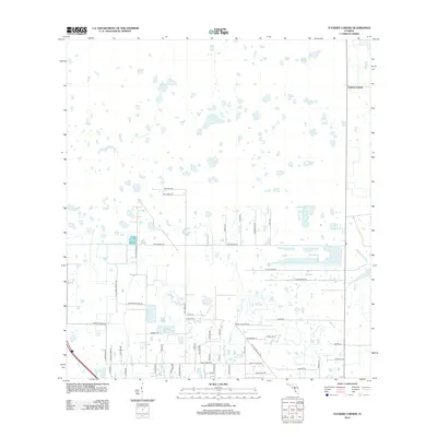
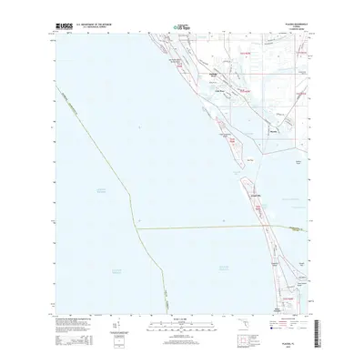
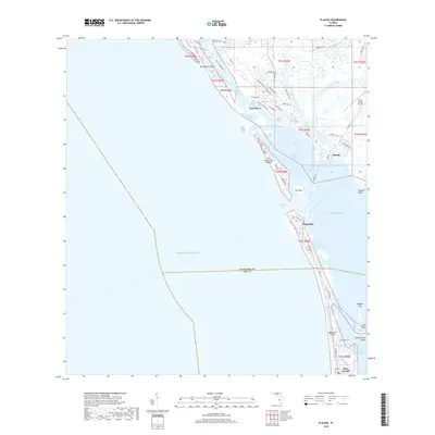
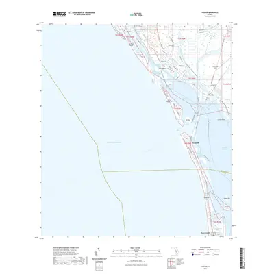
2025 Map of Placida
USGS Topo · Published 2025About this map
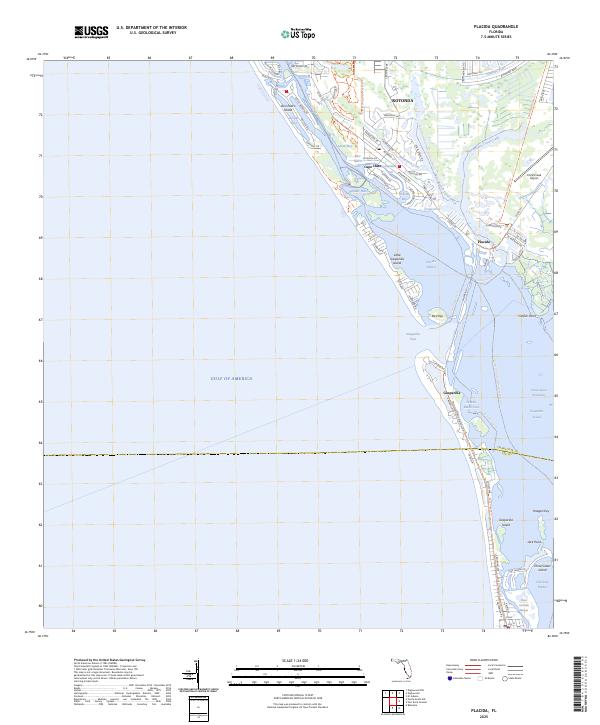
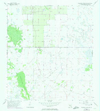
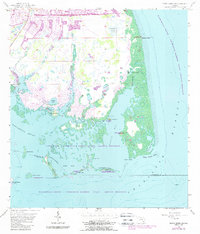
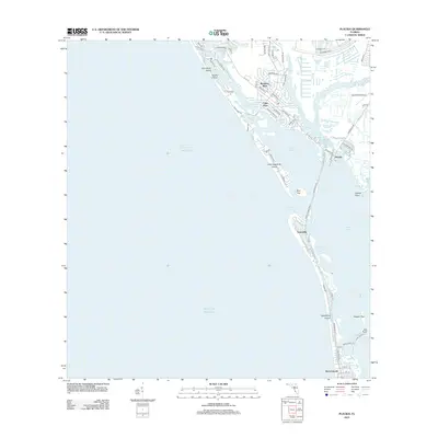
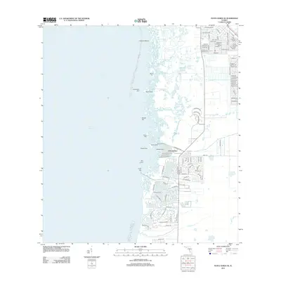
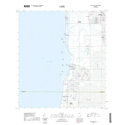
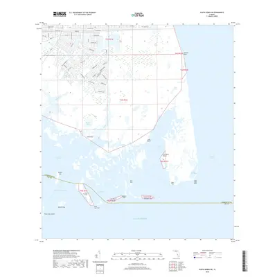
Rotonda stands as a prominent planned community characterized by its distinctive circular road system, including Rotonda Cir and Boundary Blvd, north of the Rotonda River. This coastal landscape is defined by the complex interface of the Intracoastal Waterway and the Gulf islands. The map details the transition from mainland developments like Placida and the Coral Creek Airport to the barrier islands of Don Pedro Island, Little Gasparilla Island, and Gasparilla Island. These landforms are separated by tidal features such as Bocilla Inlet and Gasparilla Pass. Conservation areas are well-established, with the Charlotte Harbor Preserve State Park and Amberjack Environmental Park protecting the mangrove shorelines of Lemon Bay and Placida Harbor. Recreation and transit are central to the area, evidenced by the Florida Circumnavigational Paddling Trl and the Cape Haze Pioneer Trl, which trace the path of former rail or transport corridors through the maritime environment.
Find a feature on this map
75 named features on this map. Tap any name to fly to it.
Don’t see what you’re looking for? This feature index may not catch every label — zoom into the map to look around manually.
Map Details
Editions of this 2025 Placida Map
This is the sole edition of this map. No revisions or reprints were ever made.
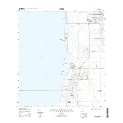
Historical Maps of Rotonda-West Through Time
61 maps found
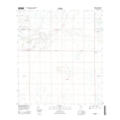
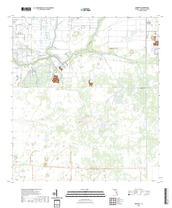
1956 Bermont
Charlotte County, FL
1956 Punta Gorda Se
Charlotte County, FL
1956 Telegraph Swamp
Charlotte County, FL
1956 Telegraph Swamp NW
Charlotte County, FL
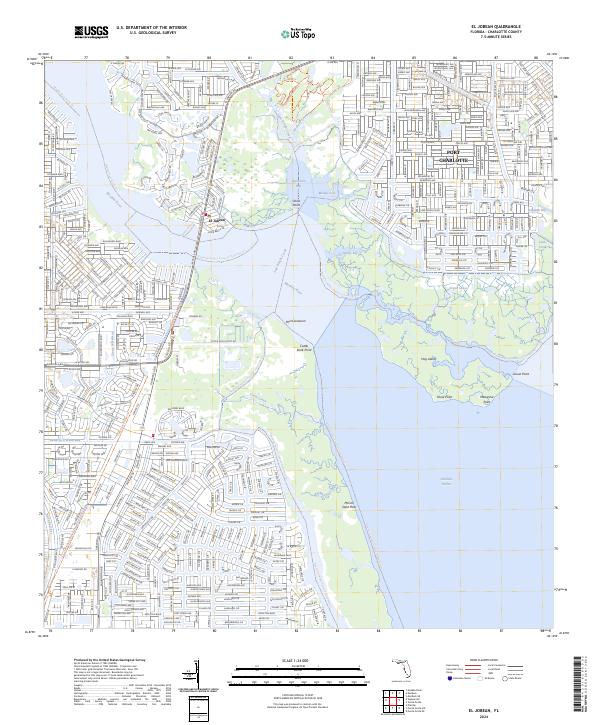
1957 El Jobean
Charlotte County, FL
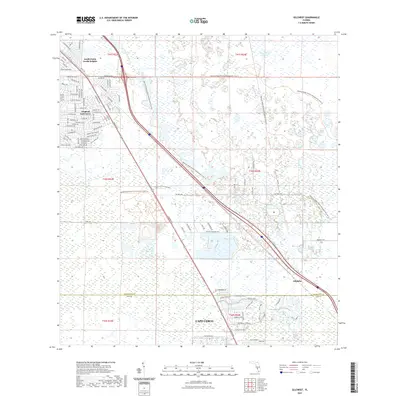
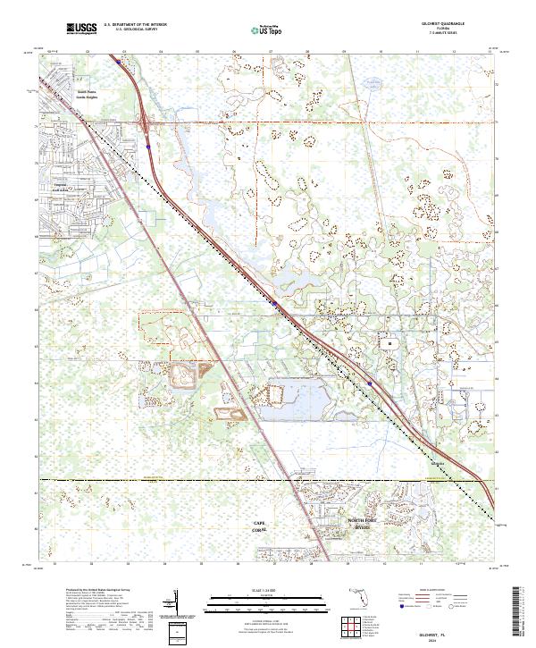
1957 Gilchrist
Charlotte County, FL
1957 Placida
Charlotte County, FL
1957 Punta Gorda Sw
Charlotte County, FL
1957 Telegraph Swamp SE
Charlotte County, FL
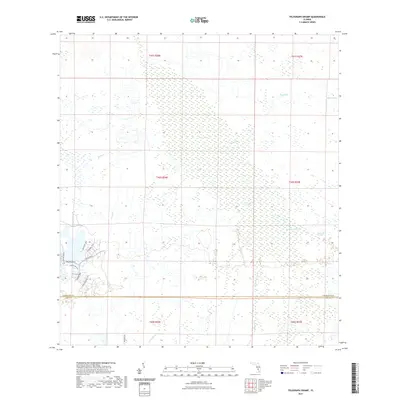
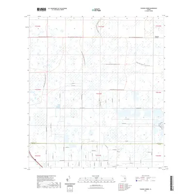
1957 Tuckers Corner
Charlotte County, FL
2012 Bermont
Charlotte County, FL
2012 El Jobean
Charlotte County, FL
2012 Gilchrist
Charlotte County, FL
2012 Placida
Charlotte County, FL
2012 Punta Gorda SE
Charlotte County, FL
2012 Punta Gorda SW
Charlotte County, FL
2012 Telegraph Swamp
Charlotte County, FL
2012 Telegraph Swamp NW
Charlotte County, FL
2012 Telegraph Swamp SE
Charlotte County, FL
2012 Tuckers Corner
Charlotte County, FL
2015 Bermont
Charlotte County, FL
2015 El Jobean
Charlotte County, FL
2015 Gilchrist
Charlotte County, FL
2015 Placida
Charlotte County, FL
2015 Punta Gorda SE
Charlotte County, FL
2015 Punta Gorda SW
Charlotte County, FL
2015 Telegraph Swamp
Charlotte County, FL

2015 Telegraph Swamp NW
Charlotte County, FL
2015 Telegraph Swamp SE
Charlotte County, FL
2015 Tuckers Corner
Charlotte County, FL
2018 Bermont
Charlotte County, FL

2018 El Jobean
Charlotte County, FL
2018 Gilchrist
Charlotte County, FL
2018 Placida
Charlotte County, FL
2018 Punta Gorda SE
Charlotte County, FL
2018 Punta Gorda SW
Charlotte County, FL
2018 Telegraph Swamp
Charlotte County, FL
2018 Telegraph Swamp NW
Charlotte County, FL
2018 Telegraph Swamp SE
Charlotte County, FL
2018 Tuckers Corner
Charlotte County, FL
2021 Bermont
Charlotte County, FL
2021 El Jobean
Charlotte County, FL
2021 Gilchrist
Charlotte County, FL
2021 Placida
Charlotte County, FL

2021 Punta Gorda SE
Charlotte County, FL

2021 Punta Gorda SW
Charlotte County, FL
2021 Telegraph Swamp
Charlotte County, FL

2021 Telegraph Swamp NW
Charlotte County, FL

2021 Telegraph Swamp SE
Charlotte County, FL
2021 Tuckers Corner
Charlotte County, FL
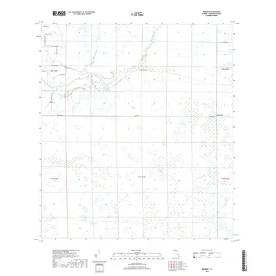
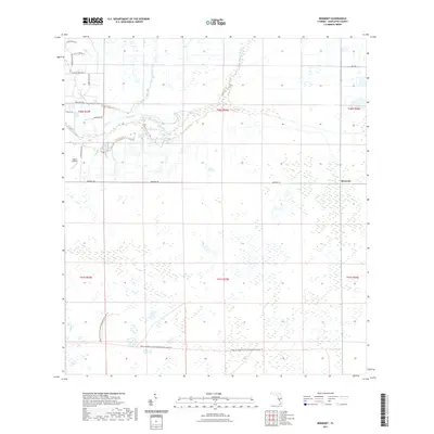
2024 Bermont
Charlotte County, FL
2024 El Jobean
Charlotte County, FL
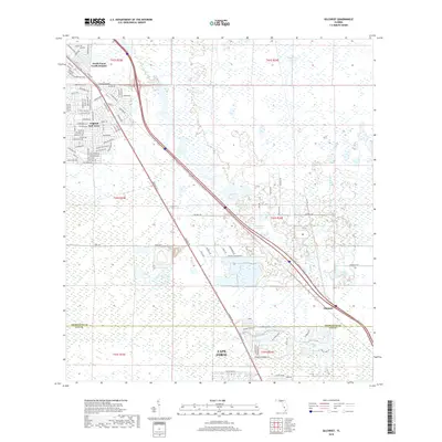
2024 Gilchrist
Charlotte County, FL
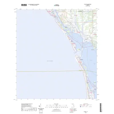
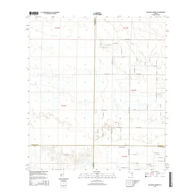
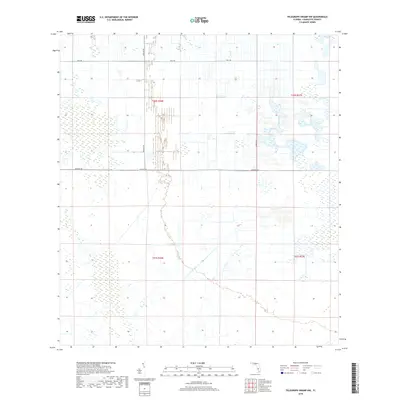
2024 Placida
Charlotte County, FL
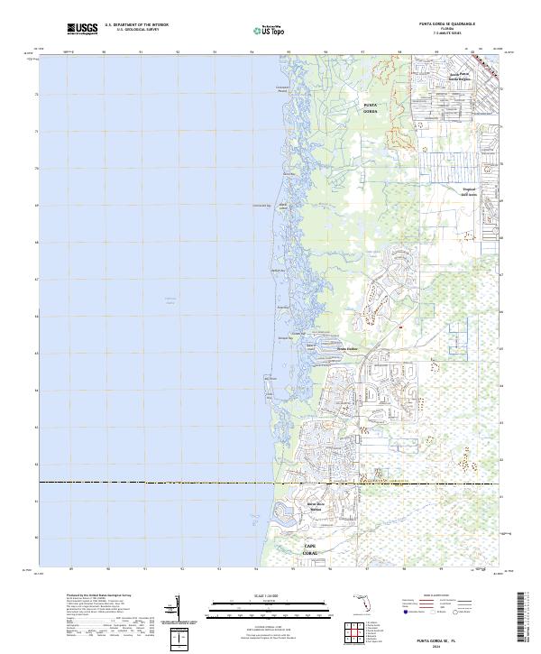
2024 Punta Gorda SE
Charlotte County, FL
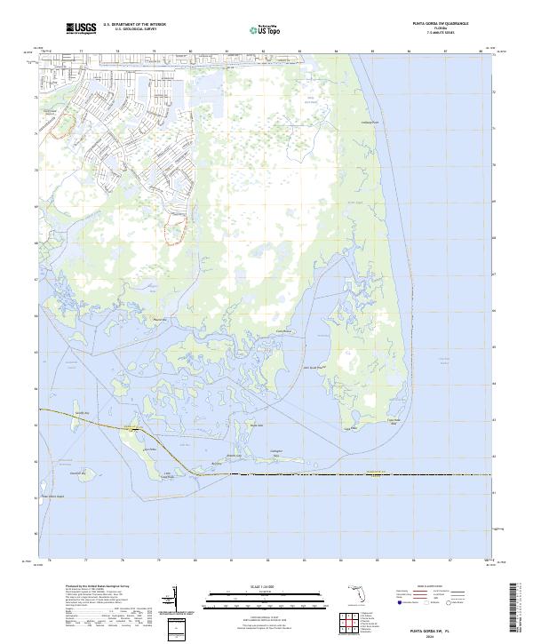
2024 Punta Gorda SW
Charlotte County, FL
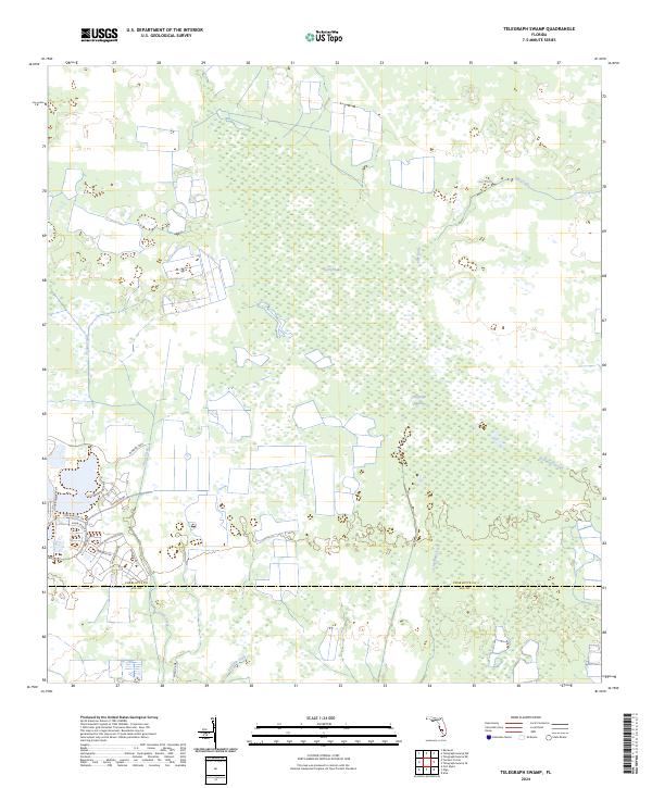
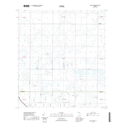
2024 Telegraph Swamp
Charlotte County, FL
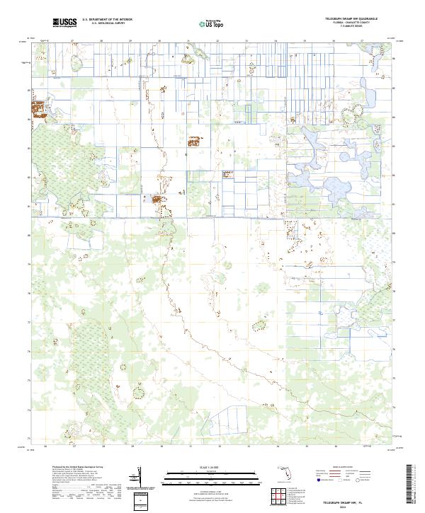
2024 Telegraph Swamp NW
Charlotte County, FL
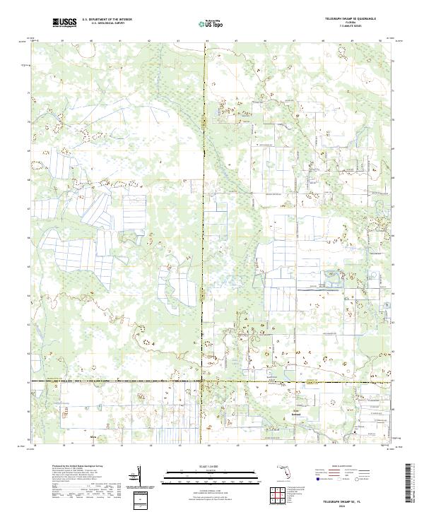
2024 Telegraph Swamp SE
Charlotte County, FL
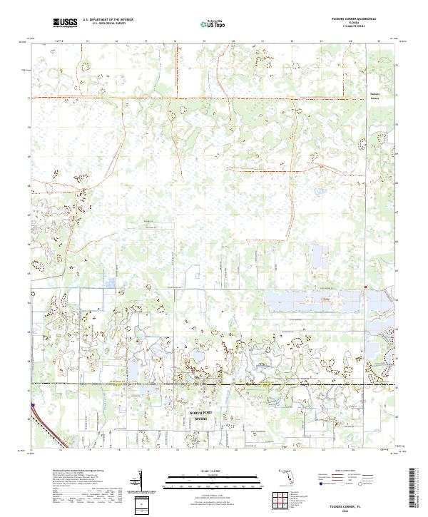
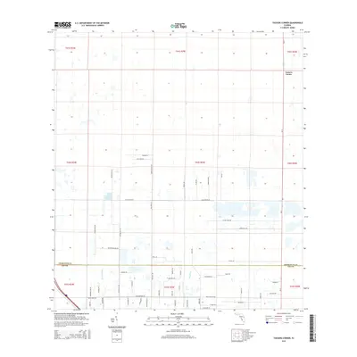
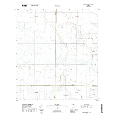
2024 Tuckers Corner
Charlotte County, FL
2025 Placida
Charlotte County, FL