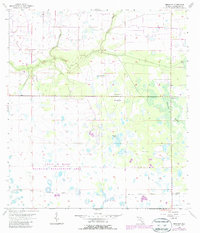
1956 Map of Bermont
USGS Topo · Published 1987About this map
Cecil M Webb Wildlife Management Area dominates the southern landscape of this Florida interior, characterized by a complex network of wetlands and drainage patterns. The area is defined by slow-moving water systems like Shell Creek, Cypress Slough, and Myrtle Slough, which weave through the terrain alongside numerous instances of a Flowing Well. These water features reveal the natural hydrology of Charlotte County before extensive modern development altered the region's surface drainage.
Find a feature on this map
9 named features on this map. Tap any name to fly to it.
Don’t see what you’re looking for? This feature index may not catch every label — zoom into the map to look around manually.
Map Details
Editions of this 1956 Bermont Map
3 editions found
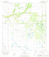
Other maps of this area

1956 · Arcadia SE
USGS Topo · 1:24,000

1956 · Telegraph Swamp
USGS Topo · 1:24,000

1956 · Cleveland
USGS Topo · 1:24,000

1956 · Telegraph Swamp NW
USGS Topo · 1:24,000

1956 · Ft. Ogden
USGS Topo · 1:24,000

1956 · Long Island Marsh SW
USGS Topo · 1:24,000

1956 · Bermont
USGS Topo · 1:24,000

1956 · West Palm Beach
USGS Topo · 1:250,000

1956 · Fort Pierce
USGS Topo · 1:250,000

1957 · West Palm Beach
USGS Topo · 1:250,000