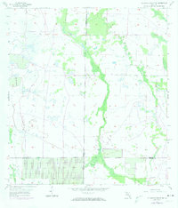
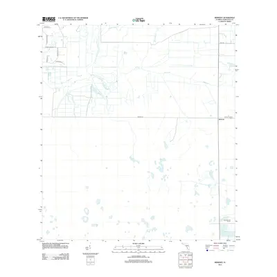
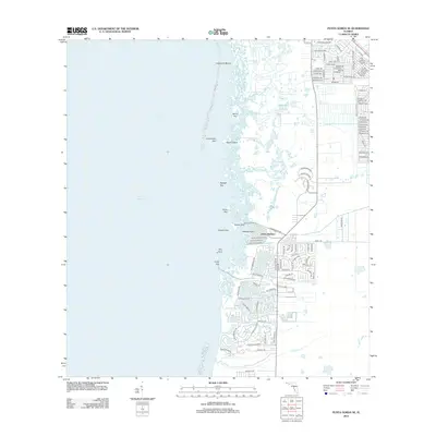
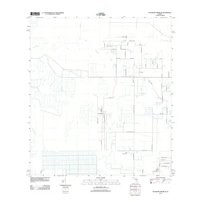
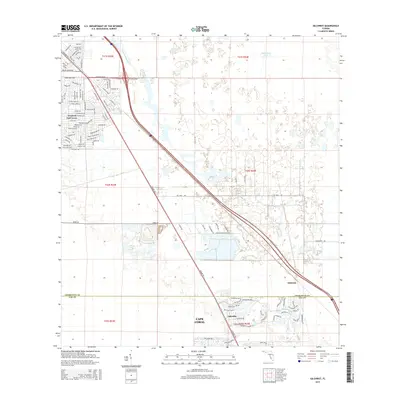
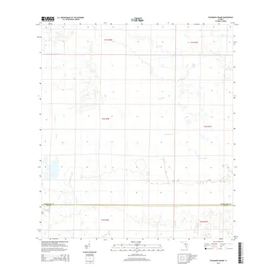
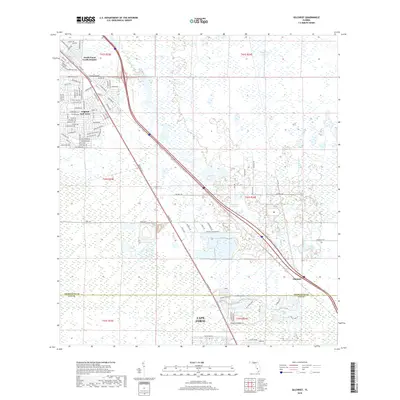
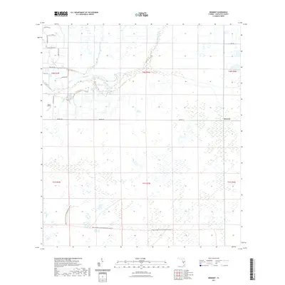
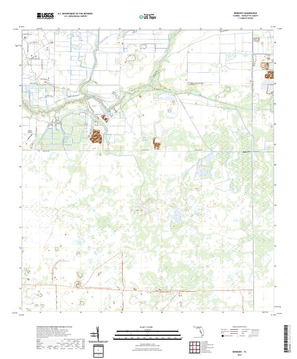
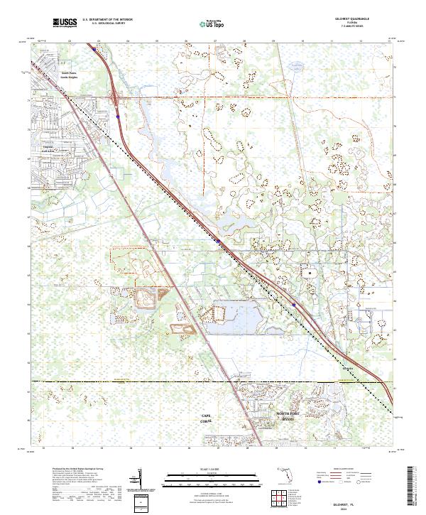
1956 Map of Bermont
USGS Topo · Published 1971About this map
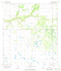
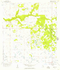
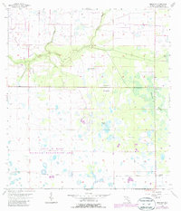
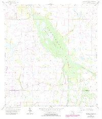
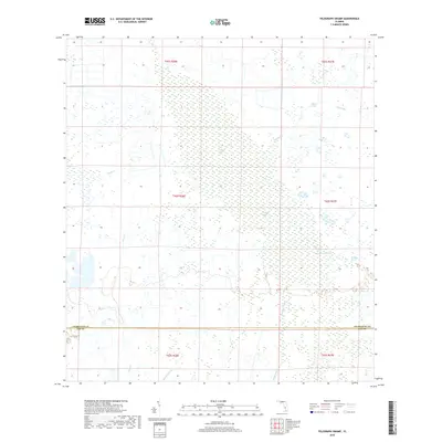
Shell Creek meanders through the heart of this mid-century Florida landscape, providing a primary drainage corridor for the surrounding pine woods and wetlands. In the northeast, Cypress Slough and Myrtle Slough feed into the creek, defining a hydrologic pattern typical of the Charlotte County interior before modern development. The presence of numerous Flowing Wells and a single Flowing Well scattered across the map suggests a reliance on artesian water sources for cattle or small-scale agriculture.
Find a feature on this map
10 named features on this map. Tap any name to fly to it.
Don’t see what you’re looking for? This feature index may not catch every label — zoom into the map to look around manually.
Map Details
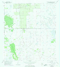
Editions of this 1956 Bermont Map
3 editions found
Historical Maps of Bermont Through Time
61 maps found
1956 Bermont
Charlotte County, FL
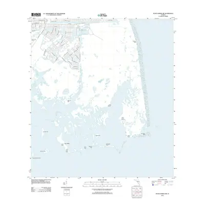
1956 Punta Gorda Se
Charlotte County, FL
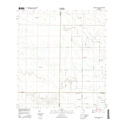
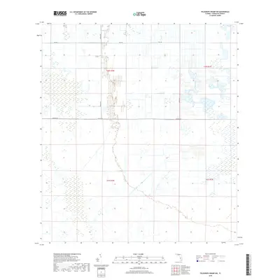
1956 Telegraph Swamp
Charlotte County, FL
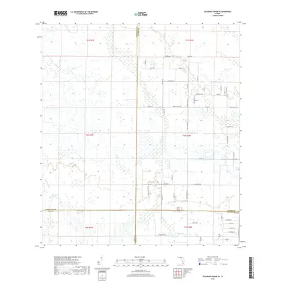
1956 Telegraph Swamp NW
Charlotte County, FL
1957 El Jobean
Charlotte County, FL
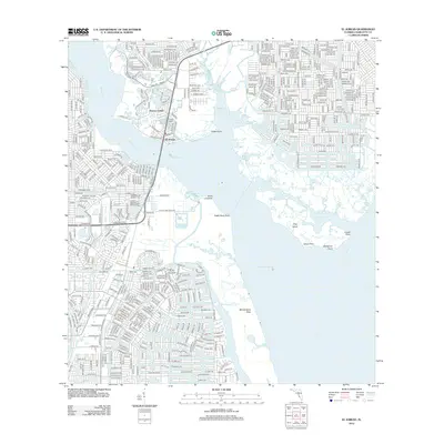
1957 Gilchrist
Charlotte County, FL
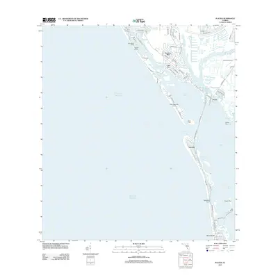
1957 Placida
Charlotte County, FL
1957 Punta Gorda Sw
Charlotte County, FL
1957 Telegraph Swamp SE
Charlotte County, FL
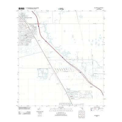
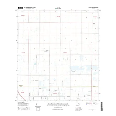
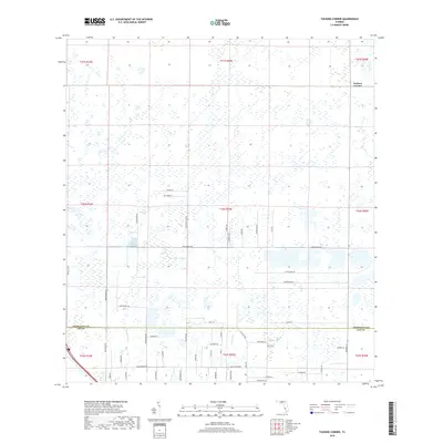
1957 Tuckers Corner
Charlotte County, FL
2012 Bermont
Charlotte County, FL
2012 El Jobean
Charlotte County, FL
2012 Gilchrist
Charlotte County, FL
2012 Placida
Charlotte County, FL
2012 Punta Gorda SE
Charlotte County, FL
2012 Punta Gorda SW
Charlotte County, FL
2012 Telegraph Swamp
Charlotte County, FL
2012 Telegraph Swamp NW
Charlotte County, FL
2012 Telegraph Swamp SE
Charlotte County, FL
2012 Tuckers Corner
Charlotte County, FL
2015 Bermont
Charlotte County, FL
2015 El Jobean
Charlotte County, FL
2015 Gilchrist
Charlotte County, FL
2015 Placida
Charlotte County, FL
2015 Punta Gorda SE
Charlotte County, FL
2015 Punta Gorda SW
Charlotte County, FL
2015 Telegraph Swamp
Charlotte County, FL

2015 Telegraph Swamp NW
Charlotte County, FL
2015 Telegraph Swamp SE
Charlotte County, FL
2015 Tuckers Corner
Charlotte County, FL
2018 Bermont
Charlotte County, FL

2018 El Jobean
Charlotte County, FL
2018 Gilchrist
Charlotte County, FL
2018 Placida
Charlotte County, FL
2018 Punta Gorda SE
Charlotte County, FL
2018 Punta Gorda SW
Charlotte County, FL
2018 Telegraph Swamp
Charlotte County, FL
2018 Telegraph Swamp NW
Charlotte County, FL
2018 Telegraph Swamp SE
Charlotte County, FL
2018 Tuckers Corner
Charlotte County, FL
2021 Bermont
Charlotte County, FL
2021 El Jobean
Charlotte County, FL
2021 Gilchrist
Charlotte County, FL
2021 Placida
Charlotte County, FL

2021 Punta Gorda SE
Charlotte County, FL

2021 Punta Gorda SW
Charlotte County, FL
2021 Telegraph Swamp
Charlotte County, FL

2021 Telegraph Swamp NW
Charlotte County, FL

2021 Telegraph Swamp SE
Charlotte County, FL
2021 Tuckers Corner
Charlotte County, FL
2024 Bermont
Charlotte County, FL
2024 El Jobean
Charlotte County, FL
2024 Gilchrist
Charlotte County, FL
2024 Placida
Charlotte County, FL
2024 Punta Gorda SE
Charlotte County, FL
2024 Punta Gorda SW
Charlotte County, FL
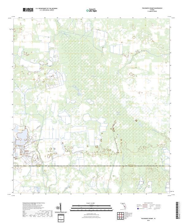
2024 Telegraph Swamp
Charlotte County, FL
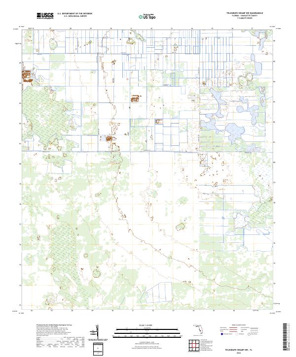
2024 Telegraph Swamp NW
Charlotte County, FL
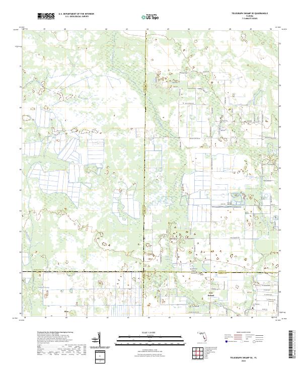
2024 Telegraph Swamp SE
Charlotte County, FL
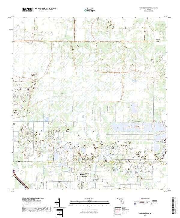
2024 Tuckers Corner
Charlotte County, FL
2025 Placida
Charlotte County, FL