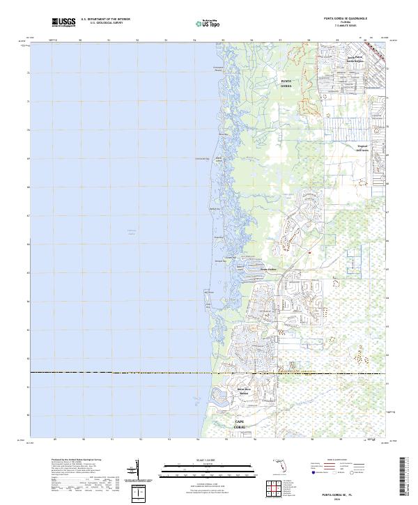
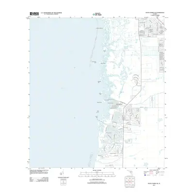
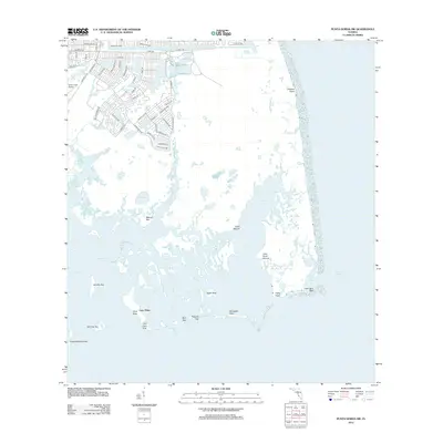
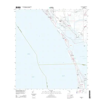
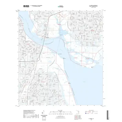
2024 Map of Punta Gorda SE
USGS Topo · Published 2024About this map
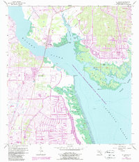
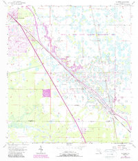
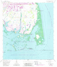
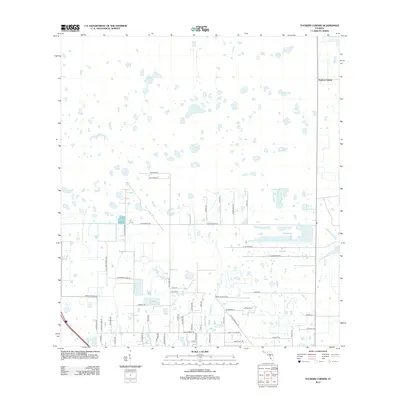
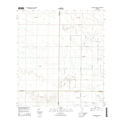
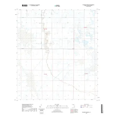
Punta Gorda and its southern developments meet the intricate wetlands of the Florida coast in this recent survey. The landscape is defined by the expansive waters of Charlotte Harbor and the protected lands of the Charlotte Harbor Preserve State Park Tri. This coastal fringe is a complex network of mangrove keys and tidal passages, including Buchan Pass, Silcox Key, and Redfish Key. Evidence of ancient habitation is preserved at Cockroach Mound, while modern maritime life centers on Burnt Store Marina and the canal-lined community of Pirate Harbor. Inland, the map documents the organized street grids of South Punta Gorda Heights and Tropical Gulf Acres, contrasting the developed residential corridors along Highway 41 with the primitive wetlands surrounding Yucca Pen Creek.
Find a feature on this map
121 named features on this map. Tap any name to fly to it.
Don’t see what you’re looking for? This feature index may not catch every label — zoom into the map to look around manually.
Map Details
Editions of this 2024 Punta Gorda SE Map
This is the sole edition of this map. No revisions or reprints were ever made.
Historical Maps of Cape Coral Through Time
61 maps found
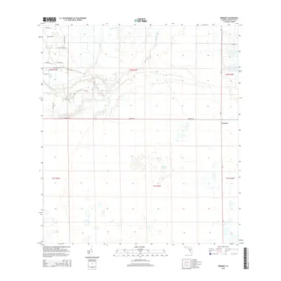
1956 Bermont
Charlotte County, FL
1956 Punta Gorda Se
Charlotte County, FL
1956 Telegraph Swamp
Charlotte County, FL
1956 Telegraph Swamp NW
Charlotte County, FL
1957 El Jobean
Charlotte County, FL
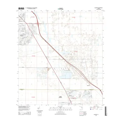
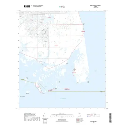
1957 Gilchrist
Charlotte County, FL
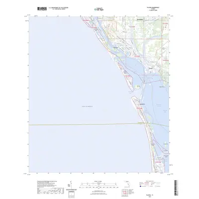
1957 Placida
Charlotte County, FL
1957 Punta Gorda Sw
Charlotte County, FL
1957 Telegraph Swamp SE
Charlotte County, FL
1957 Tuckers Corner
Charlotte County, FL
2012 Bermont
Charlotte County, FL
2012 El Jobean
Charlotte County, FL
2012 Gilchrist
Charlotte County, FL
2012 Placida
Charlotte County, FL
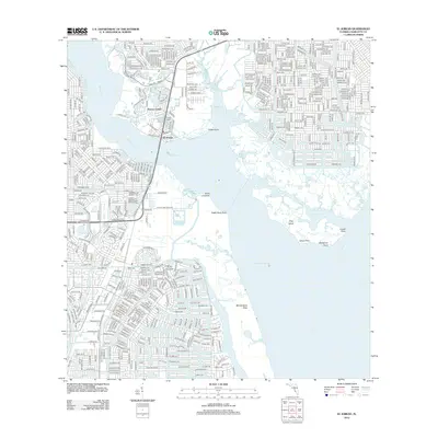
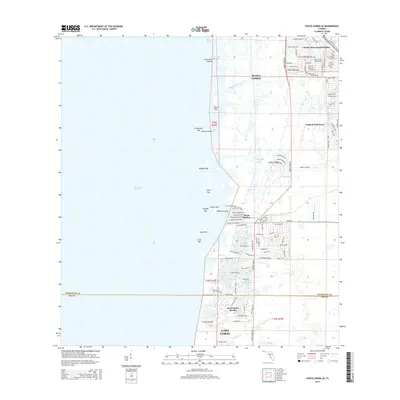
2012 Punta Gorda SE
Charlotte County, FL
2012 Punta Gorda SW
Charlotte County, FL
2012 Telegraph Swamp
Charlotte County, FL
2012 Telegraph Swamp NW
Charlotte County, FL
2012 Telegraph Swamp SE
Charlotte County, FL
2012 Tuckers Corner
Charlotte County, FL
2015 Bermont
Charlotte County, FL
2015 El Jobean
Charlotte County, FL
2015 Gilchrist
Charlotte County, FL
2015 Placida
Charlotte County, FL
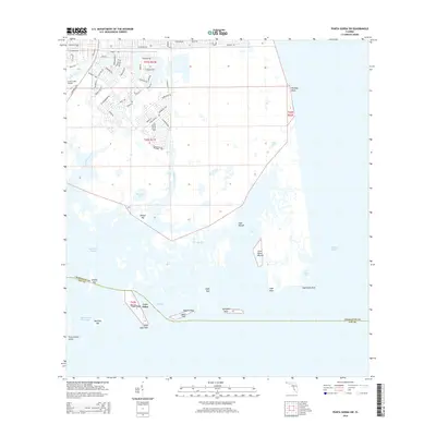
2015 Punta Gorda SE
Charlotte County, FL
2015 Punta Gorda SW
Charlotte County, FL
2015 Telegraph Swamp
Charlotte County, FL

2015 Telegraph Swamp NW
Charlotte County, FL
2015 Telegraph Swamp SE
Charlotte County, FL
2015 Tuckers Corner
Charlotte County, FL
2018 Bermont
Charlotte County, FL

2018 El Jobean
Charlotte County, FL
2018 Gilchrist
Charlotte County, FL
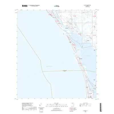
2018 Placida
Charlotte County, FL
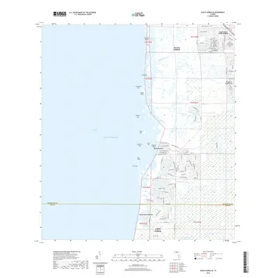
2018 Punta Gorda SE
Charlotte County, FL
2018 Punta Gorda SW
Charlotte County, FL
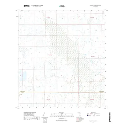
2018 Telegraph Swamp
Charlotte County, FL
2018 Telegraph Swamp NW
Charlotte County, FL
2018 Telegraph Swamp SE
Charlotte County, FL
2018 Tuckers Corner
Charlotte County, FL
2021 Bermont
Charlotte County, FL
2021 El Jobean
Charlotte County, FL
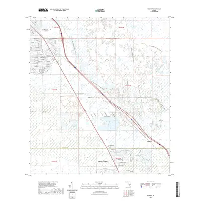
2021 Gilchrist
Charlotte County, FL
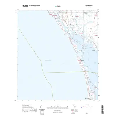
2021 Placida
Charlotte County, FL

2021 Punta Gorda SE
Charlotte County, FL

2021 Punta Gorda SW
Charlotte County, FL
2021 Telegraph Swamp
Charlotte County, FL

2021 Telegraph Swamp NW
Charlotte County, FL

2021 Telegraph Swamp SE
Charlotte County, FL
2021 Tuckers Corner
Charlotte County, FL
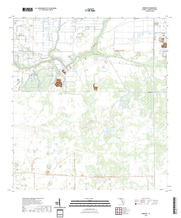
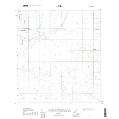
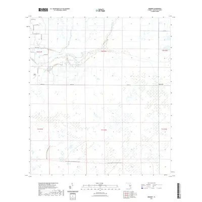
2024 Bermont
Charlotte County, FL
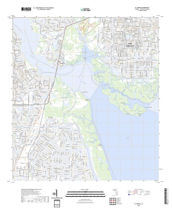
2024 El Jobean
Charlotte County, FL
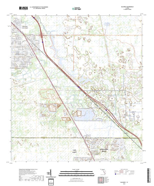
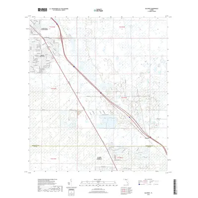
2024 Gilchrist
Charlotte County, FL
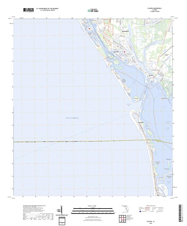
2024 Placida
Charlotte County, FL
2024 Punta Gorda SE
Charlotte County, FL
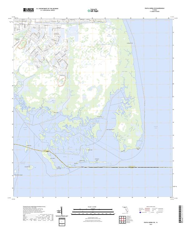
2024 Punta Gorda SW
Charlotte County, FL
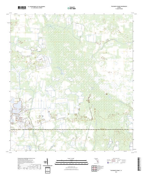
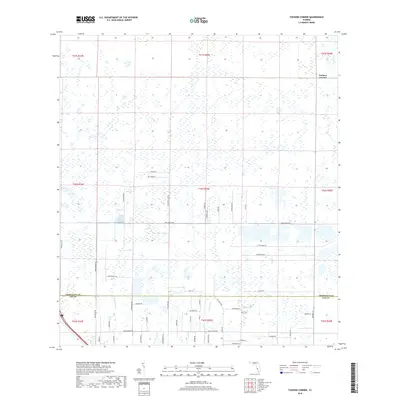
2024 Telegraph Swamp
Charlotte County, FL
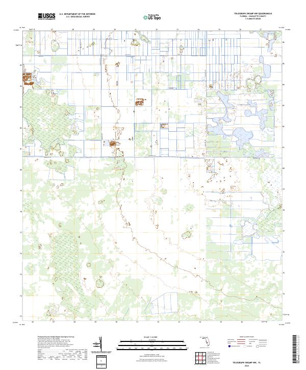
2024 Telegraph Swamp NW
Charlotte County, FL
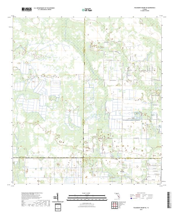
2024 Telegraph Swamp SE
Charlotte County, FL
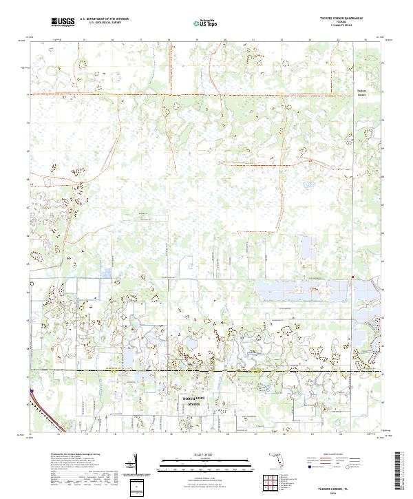
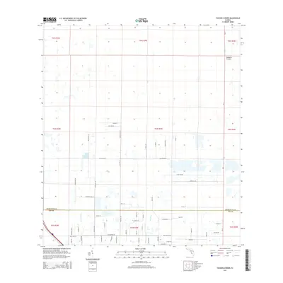
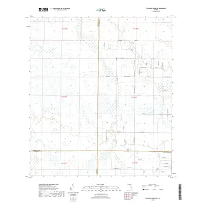
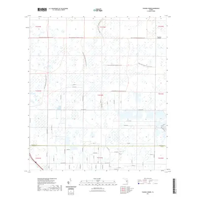
2024 Tuckers Corner
Charlotte County, FL
2025 Placida
Charlotte County, FL