2000s (21st Century) Maps of Yankeetown, Florida
Explore 17 historic maps of Yankeetown from the 2000s (21st Century). These maps offer a rare glimpse into what life looked like during the 2000s — showing old roads, neighborhoods, homes, and landmarks that have changed or disappeared over time.
Whether you're researching your family's past, planning a metal detecting trip, or studying how Yankeetown's landscape evolved across the 2000s, these high-resolution maps are a powerful tool for exploring the history of this region.
- Focus on a specific era: All maps on this page are from the 2000s, giving you a focused view of this time period.
- See what’s changed: Compare century-old streets, trails, and buildings to today's modern landscape using overlays and satellite layers.
- Research with precision: Use these maps for genealogy, historical research, land use analysis, or educational projects.
- View, download, or print: Maps are fully viewable online in high resolution, and can be downloaded or printed for your own records.
Start exploring Yankeetown's history through authentic maps from the 2000s. This is your window into the past.
Yankeetown, FL maps
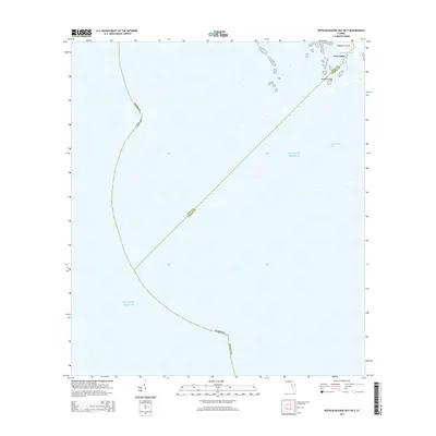
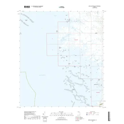
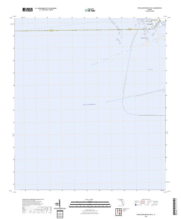
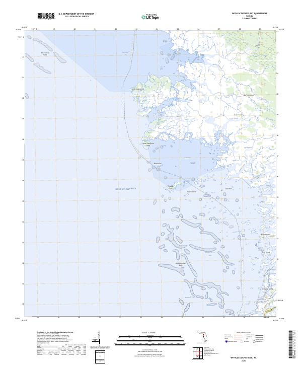
(17)- 2012 Map of Withlacoochee Bay OE S, 2012 Print
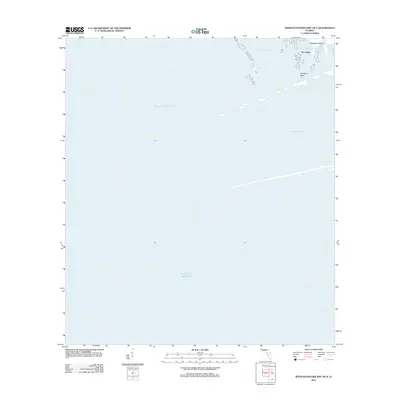 2012 Withlacoochee Bay OE S2012 Print · USGSCovers Yankeetown, including Port Inglis, Citrus County, and other nearby areas
 - 2012 Map of Withlacoochee Bay, 2012 Print
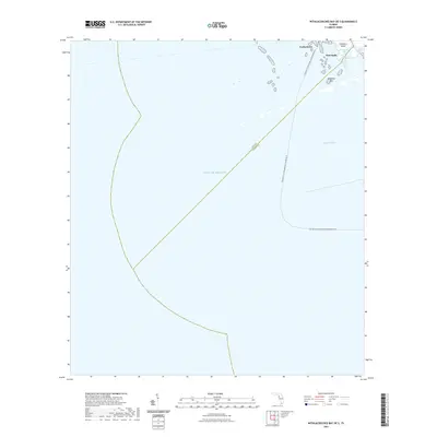
 2012 Withlacoochee Bay2012 Print · USGSCovers Yankeetown, including Citrus County, Levy County, and other nearby areas
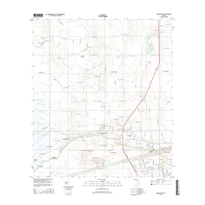
 - 2012 Map of Yankeetown, 2012 Print
 2012 Yankeetown2012 Print · USGSCovers Yankeetown, including Inglis, Crackertown, and other nearby areas
 - 2015 Map of Withlacoochee Bay, 2015 Print
 2015 Withlacoochee Bay2015 Print · USGSCovers Yankeetown, including Citrus County, Levy County, and other nearby areas
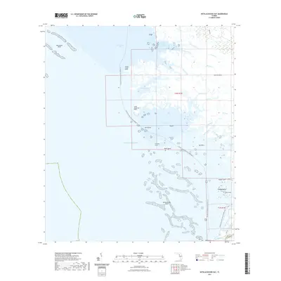
 - 2015 Map of Withlacoochee Bay OE S, 2015 Print
 2015 Withlacoochee Bay OE S2015 Print · USGSCovers Yankeetown, including Port Inglis, Citrus County, and other nearby areas
 - 2015 Map of Yankeetown, 2015 Print
 2015 Yankeetown2015 Print · USGSCovers Yankeetown, including Inglis, Crackertown, and other nearby areas
 - 2018 Map of Withlacoochee Bay OE S, 2018 Print
 2018 Withlacoochee Bay OE S2018 Print · USGSCovers Yankeetown, including Port Inglis, Citrus County, and other nearby areas
 - 2018 Map of Yankeetown, 2018 Print
 2018 Yankeetown2018 Print · USGSCovers Yankeetown, including Inglis, Crackertown, and other nearby areas
 - 2018 Map of Withlacoochee Bay, 2018 Print
 2018 Withlacoochee Bay2018 Print · USGSCovers Yankeetown, including Citrus County, Levy County, and other nearby areas
 - 2021 Map of Withlacoochee Bay OE S, 2021 Print
 2021 Withlacoochee Bay OE S2021 Print · USGSCovers Yankeetown, including Port Inglis, Citrus County, and other nearby areas
 - 2021 Map of Withlacoochee Bay, 2021 Print
 2021 Withlacoochee Bay2021 Print · USGSCovers Yankeetown, including Citrus County, Levy County, and other nearby areas
 - 2021 Map of Yankeetown, 2021 Print
 2021 Yankeetown2021 Print · USGSCovers Yankeetown, including Inglis, Crackertown, and other nearby areas
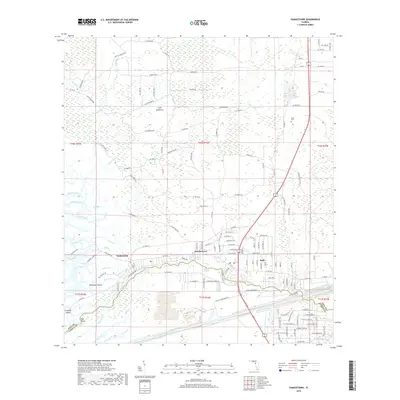
 - 2024 Map of Yankeetown, 2024 Print
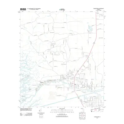
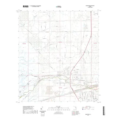
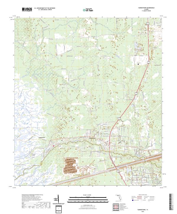 2024 Yankeetown2024 Print · USGSCoastal Levy County and the lower Withlacoochee River are shown in detail as they appear in the early twenty-first century. Researchers can trace land patterns around Yankeetown and Inglis, or locate landmarks like Priest Cem and the Cross Florida Barge Canal.
 - 2024 Map of Withlacoochee Bay, 2024 Print
 2024 Withlacoochee Bay2024 Print · USGSCovers Yankeetown, including Citrus County, Levy County, and other nearby areas
 - 2024 Map of Withlacoochee Bay OE S, 2024 Print
 2024 Withlacoochee Bay OE S2024 Print · USGSCovers Yankeetown, including Port Inglis, Citrus County, and other nearby areas
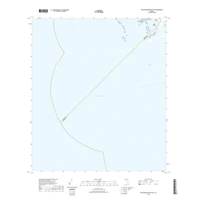
 - 2025 Map of Withlacoochee Bay OE S, 2025 Print
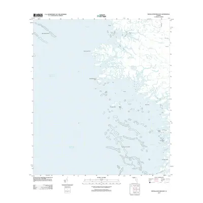
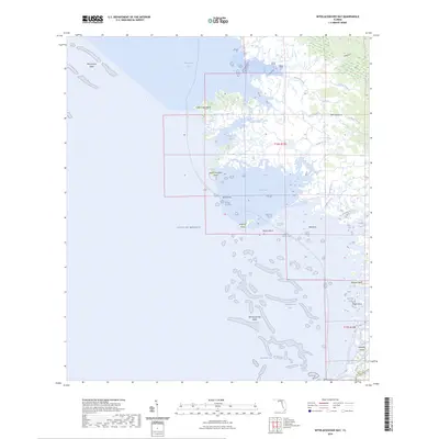
 2025 Withlacoochee Bay OE S2025 Print · USGSThe Citrus and Levy County coastline meets the open gulf in this mid-2020s study of Florida’s intricate marsh systems. Coastal researchers can trace small-craft routes through Bungalow Pass, identify island landmarks like Deadman Key, and locate the historic footprint of Port Inglis.
 - 2025 Map of Withlacoochee Bay, 2025 Print
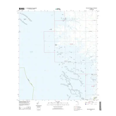
 2025 Withlacoochee Bay2025 Print · USGSCoastal Levy County remains a wild landscape of tidal marshes and limestone reefs in this mid-2020s survey. Marine researchers and paddlers can trace the winding channels of Tooke Creek or navigate the hazardous Waccasassa Reefs and Withlacoochee Reefs.
End of results
Showing maps 1-17 of 17
Top cities near Yankeetown
Top neighborhoods of Yankeetown
Frequently asked questions
- What are the different types of historical maps available for Yankeetown?
- What is the oldest map of Yankeetown?
- Where can I purchase historical maps of Yankeetown for my home or office?
- Where can I download high-res historical maps of Yankeetown?
- Are there historical topographic maps available for Yankeetown?
- Is there historical aerial imagery available for Yankeetown?
- Where are historical maps of Yankeetown sourced from?