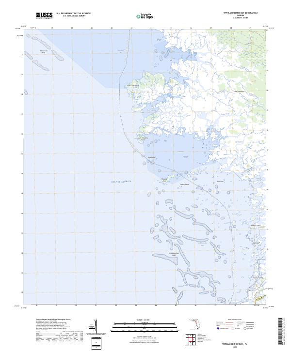
2025 Map of Withlacoochee Bay
USGS Topo · Published 2025About this map
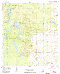
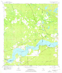
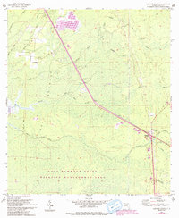
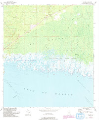
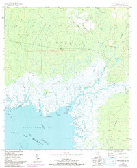
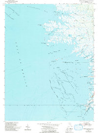
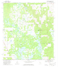
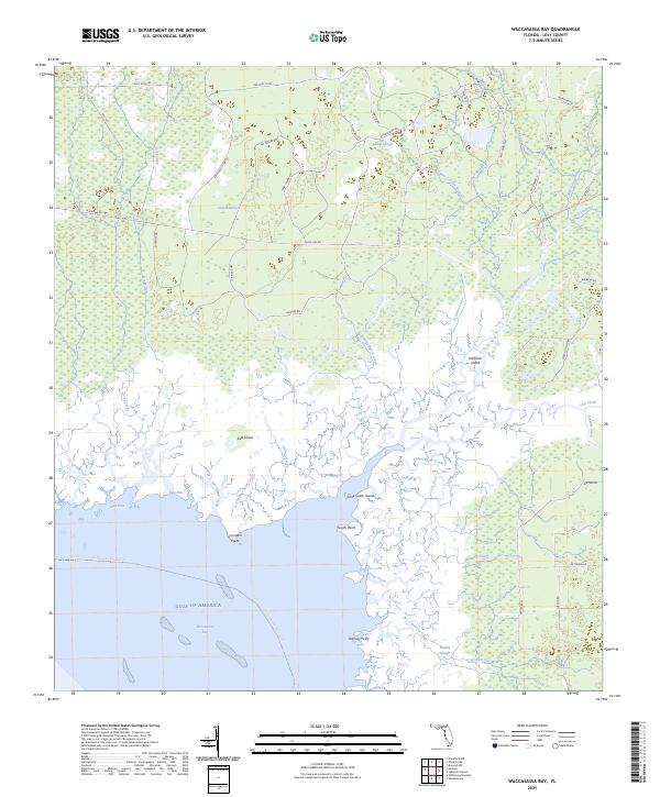
Gulf Hammock dominates the northeastern corner of this coastal reach, where the terrestrial landscape of Florida gives way to an intricate network of salt marshes and tidal creeks. The shoreline is defined by a fragmented geography of points and islands, including South Mangrove Point and Roach Island, separated by numerous waterways like Tooke Creek and Eleven Prong. These channels drain into the shallow waters of Waccasassa Bay and Withlacoochee Bay, which together form a transition into the open Gulf of America.
Find a feature on this map
32 named features on this map. Tap any name to fly to it.
Don’t see what you’re looking for? This feature index may not catch every label — zoom into the map to look around manually.
Map Details
Editions of this 2025 Withlacoochee Bay Map
This is the sole edition of this map. No revisions or reprints were ever made.
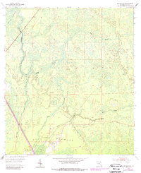
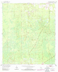
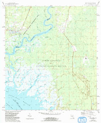
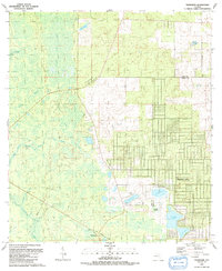
Historical Maps of Yankeetown Through Time
32 maps found
1954 Bronson SW
Levy County, FL
1954 Chiefland SW
Levy County, FL
1954 East Pass
Levy County, FL
1954 Manatee Springs
Levy County, FL
1954 Yankeetown SE
Levy County, FL
1955 Bronson NE
Levy County, FL
1955 Bronson SE
Levy County, FL
1955 Lebanon Station
Levy County, FL
1955 Seahorse Key
Levy County, FL
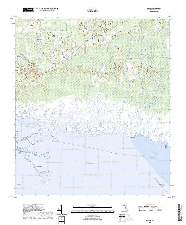
1955 Sumner
Levy County, FL
1955 Tidewater
Levy County, FL
1955 Waccasassa Bay
Levy County, FL
1955 Withlacoochee Bay
Levy County, FL
1957 Bronson SE
Levy County, FL
1968 Lebanon Station
Levy County, FL
1968 Newberry SW
Levy County, FL
1991 Tidewater
Levy County, FL

1991 Yankeetown SE
Levy County, FL
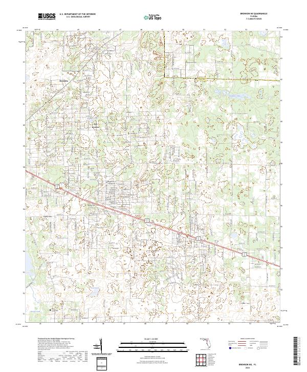
2024 Bronson NE
Levy County, FL
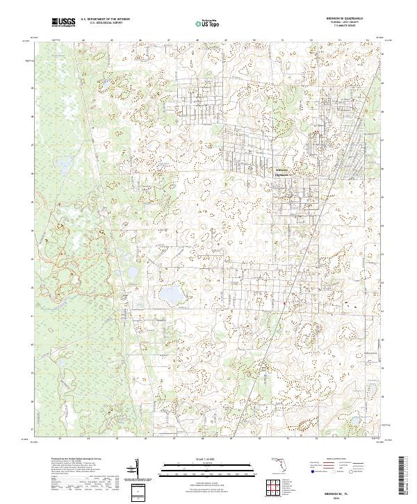
2024 Bronson SE
Levy County, FL
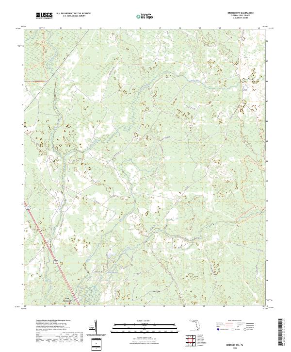
2024 Bronson SW
Levy County, FL
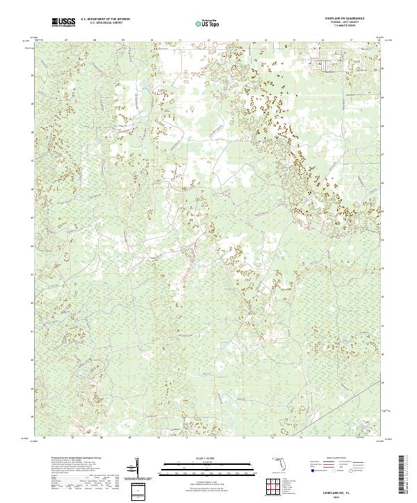
2024 Chiefland SW
Levy County, FL

2024 Lebanon Station
Levy County, FL
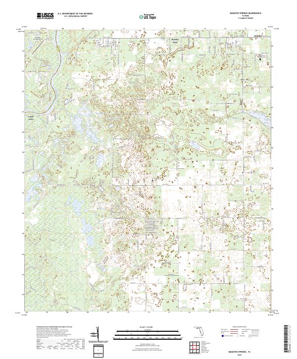
2024 Manatee Springs
Levy County, FL
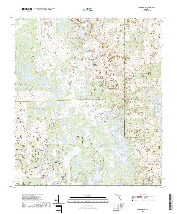
2024 Newberry SW
Levy County, FL
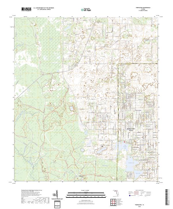
2024 Tidewater
Levy County, FL
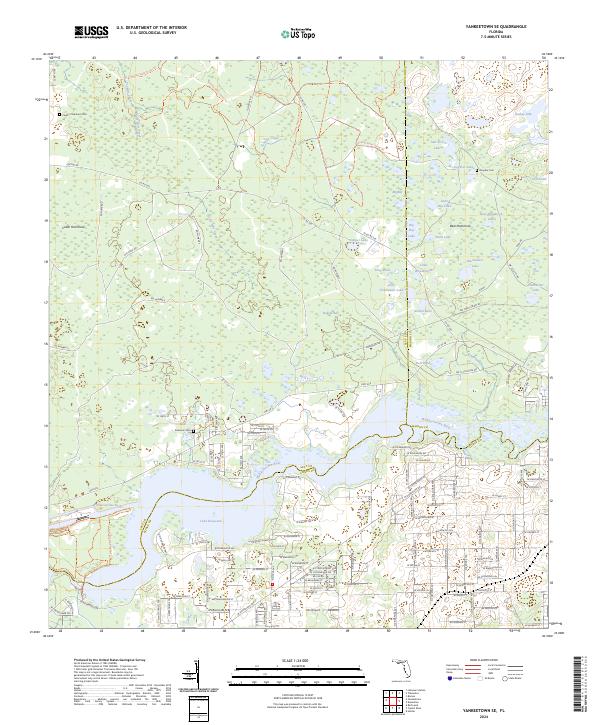
2024 Yankeetown SE
Levy County, FL
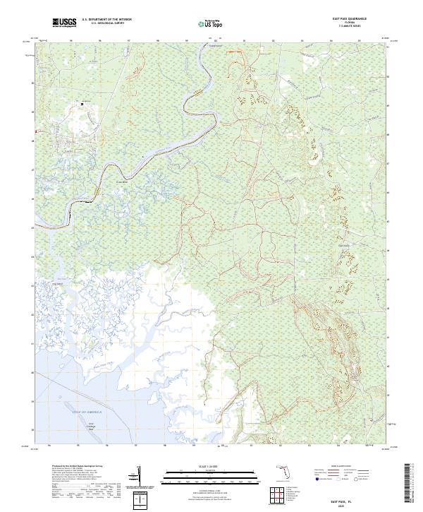
2025 East Pass
Levy County, FL
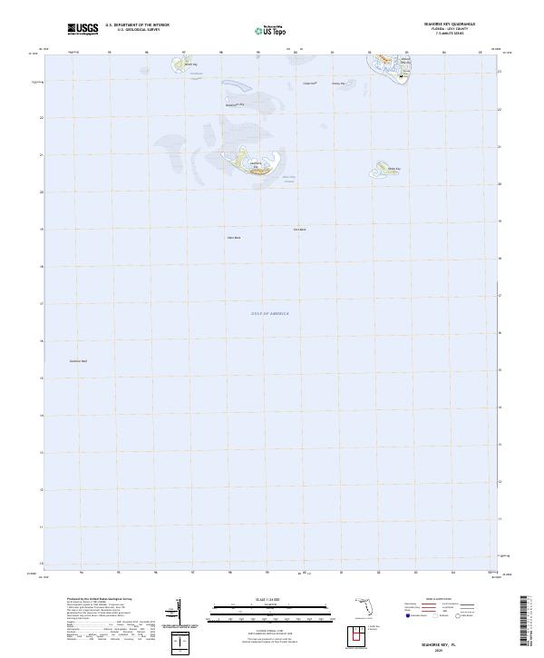
2025 Seahorse Key
Levy County, FL
2025 Sumner
Levy County, FL
2025 Waccasassa Bay
Levy County, FL
2025 Withlacoochee Bay
Levy County, FL