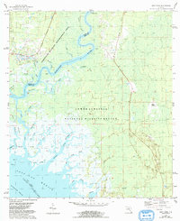
1954 Map of East Pass
USGS Topo · Published 1993About this map
The Suwannee River carves a winding path toward the Gulf of Mexico, defining the boundary between Dixie and Levy counties in the mid-1950s. This coastal landscape is dominated by a complex network of tidal creeks and marshes, including the intricate branching of East Pass, Pitt Creek, and McCormick Creek. Human activity is concentrated at river access points such as Fletcher Landing, while large tracts of land are preserved within the Perpetual Wildlife Management Area and the Lower Suwannee National Wildlife Refuge.
Find a feature on this map
39 named features on this map. Tap any name to fly to it.
Don’t see what you’re looking for? This feature index may not catch every label — zoom into the map to look around manually.
Map Details
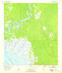
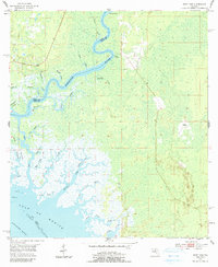
Editions of this 1954 East Pass Map
4 editions found
Other maps of this area

1954 · Suwannee
USGS Topo · 1:24,000

1954 · Manatee Springs
USGS Topo · 1:24,000

1954 · Chiefland SW
USGS Topo · 1:24,000

1954 · Vista
USGS Topo · 1:24,000

1954 · East Pass
USGS Topo · 1:24,000

1954 · Gainesville
USGS Topo · 1:250,000

1955 · Cedar Key
USGS Topo · 1:24,000

1955 · Sumner
USGS Topo · 1:24,000

1955 · Shired Island
USGS Topo · 1:24,000

1958 · Gainesville
USGS Topo · 1:250,000