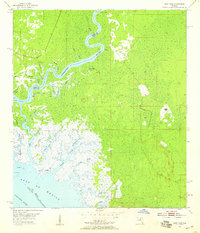
1954 Map of East Pass
USGS Topo · Published 1959About this map
Suwannee River currents dominate this coastal landscape where the fresh water of the interior meets the saltwater of the Gulf of Mexico. The map details a complex deltaic environment defined by numerous distributaries and tidal creeks, including Gopher River, Hog Island East Pass, and the curious Dead Boy Cr. At the river's edge, Fletcher Landing serves as a lone point of human settlement amidst the marshy terrain. The survey reflects the intricate hydrography of the mid-1950s, tracing a network of islands like Turkey Island and Hog Island that shift alongside the Suwannee Sound. Navigation is guided by several Daybeacons positioned near the oyster-rich shallows of Lone Cabbage Reef, indicating the importance of the maritime economy for this stretch of the Florida coastline.
Find a feature on this map
34 named features on this map. Tap any name to fly to it.
Don’t see what you’re looking for? This feature index may not catch every label — zoom into the map to look around manually.
Map Details
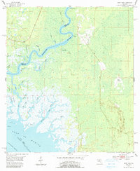
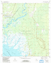
Editions of this 1954 East Pass Map
4 editions found
Other maps of this area

1954 · Suwannee
USGS Topo · 1:24,000

1954 · Manatee Springs
USGS Topo · 1:24,000

1954 · Chiefland SW
USGS Topo · 1:24,000

1954 · Vista
USGS Topo · 1:24,000

1954 · East Pass
USGS Topo · 1:24,000

1954 · Gainesville
USGS Topo · 1:250,000

1955 · Cedar Key
USGS Topo · 1:24,000

1955 · Sumner
USGS Topo · 1:24,000

1955 · Shired Island
USGS Topo · 1:24,000

1958 · Gainesville
USGS Topo · 1:250,000