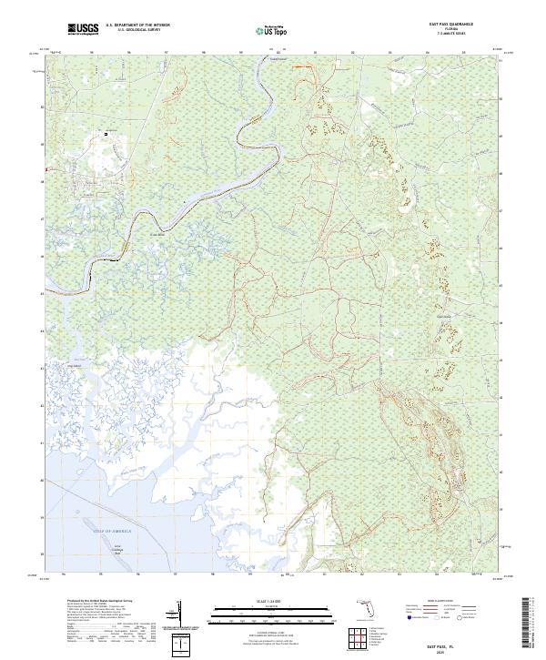
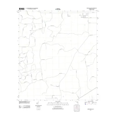
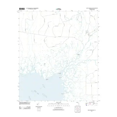
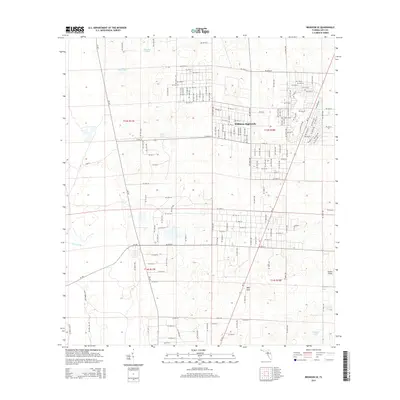
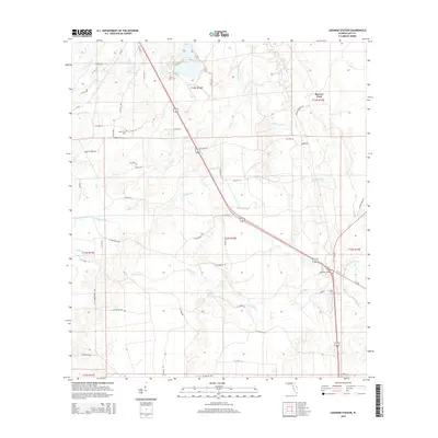
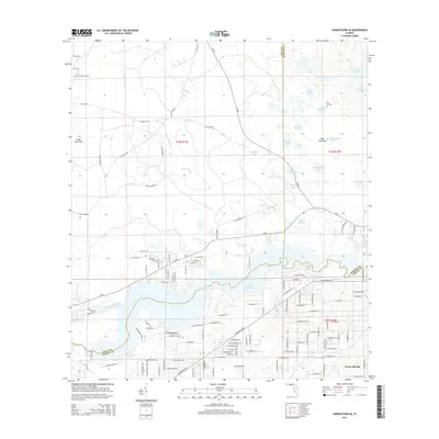
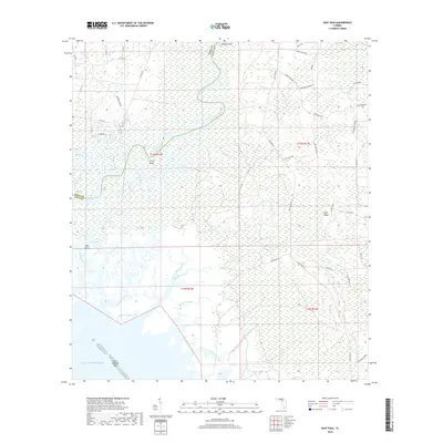
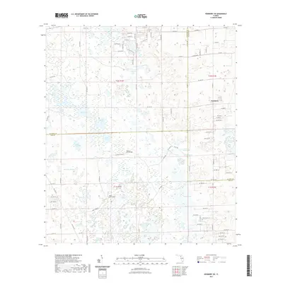
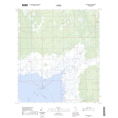
2025 Map of East Pass
USGS Topo · Published 2025About this map
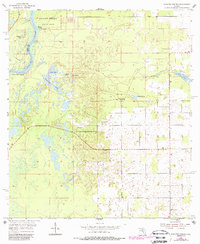
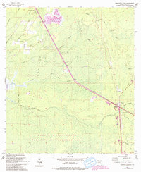
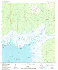
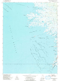
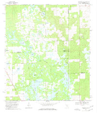
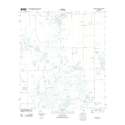
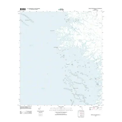
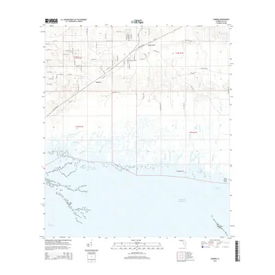
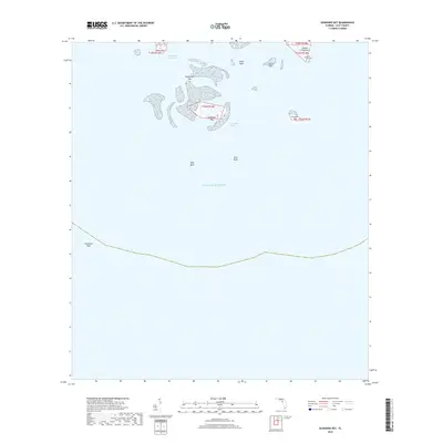
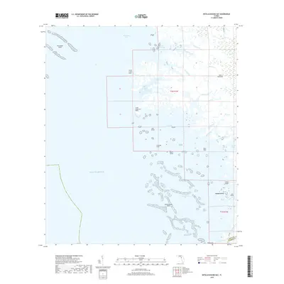
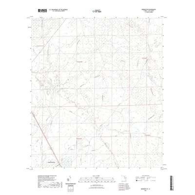
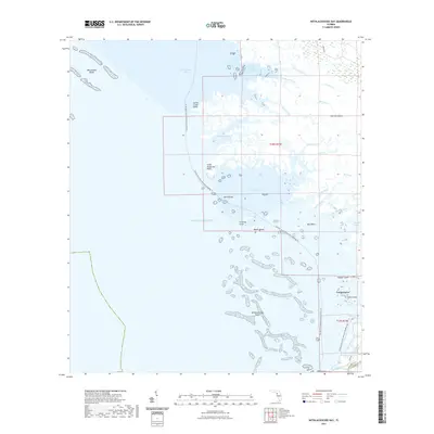
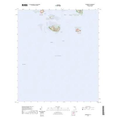
California Swamp and the dense tidal marshes of the Lower Suwannee National Wildlife Refuge dominate this coastal landscape where the river meets the Gulf of America. The area is defined by a complex network of freshwater and brackish outlets, including the Suwannee River as it winds past U-Lee Bend toward the coast. Navigation and land use are dictated by the wet terrain, with named features like Turkey Island and Hog Island rising from the marsh. Human presence is sparse, centered around historical markers like Hodge Cem and a web of access routes such as Munden Camp Rd and various gated trails. The presence of the Florida Circumnavigational Paddling Trail highlights the importance of waterborne travel in this region, where tidal creeks like Big Trout Creek and Dan May Creek carve through the shoreline.
Find a feature on this map
81 named features on this map. Tap any name to fly to it.
Don’t see what you’re looking for? This feature index may not catch every label — zoom into the map to look around manually.
Map Details
Editions of this 2025 East Pass Map
This is the sole edition of this map. No revisions or reprints were ever made.
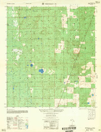
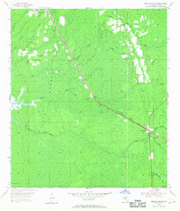
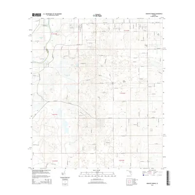
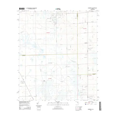
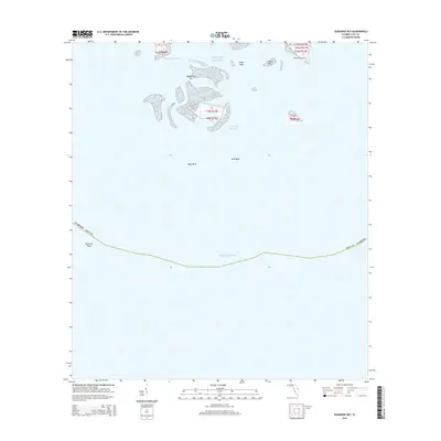
Historical Maps of Levy County Through Time
93 maps found
1954 Bronson SW
Levy County, FL
1954 Chiefland SW
Levy County, FL
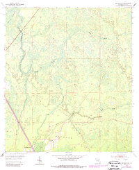
1954 East Pass
Levy County, FL
1954 Manatee Springs
Levy County, FL
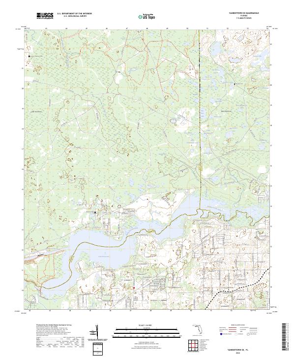
1954 Yankeetown SE
Levy County, FL
1955 Bronson NE
Levy County, FL
1955 Bronson SE
Levy County, FL
1955 Lebanon Station
Levy County, FL
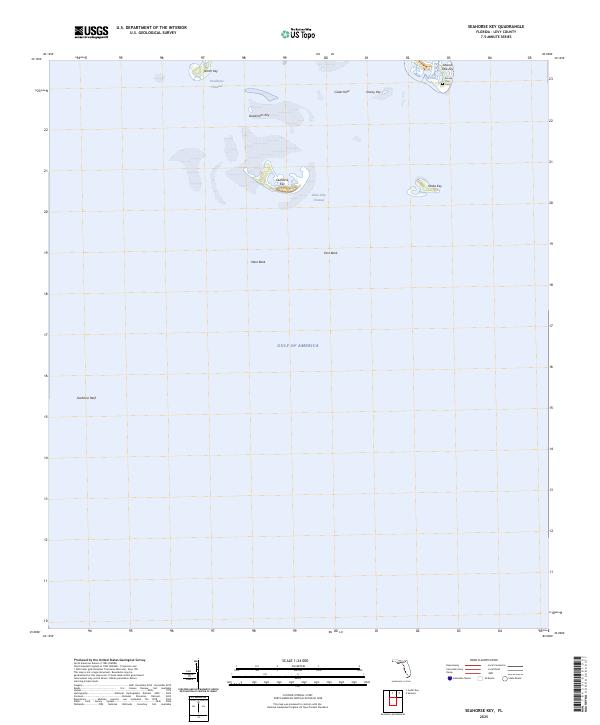
1955 Seahorse Key
Levy County, FL
1955 Sumner
Levy County, FL
1955 Tidewater
Levy County, FL
1955 Waccasassa Bay
Levy County, FL
1955 Withlacoochee Bay
Levy County, FL
1957 Bronson SE
Levy County, FL
1968 Lebanon Station
Levy County, FL
1968 Newberry SW
Levy County, FL
1991 Tidewater
Levy County, FL

1991 Yankeetown SE
Levy County, FL
2012 Bronson NE
Levy County, FL

2012 Bronson SE
Levy County, FL
2012 Bronson SW
Levy County, FL
2012 Chiefland SW
Levy County, FL
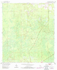
2012 East Pass
Levy County, FL
2012 Lebanon Station
Levy County, FL
2012 Manatee Springs
Levy County, FL
2012 Newberry SW
Levy County, FL
2012 Seahorse Key
Levy County, FL
2012 Sumner
Levy County, FL
2012 Tidewater
Levy County, FL
2012 Waccasassa Bay
Levy County, FL
2012 Withlacoochee Bay
Levy County, FL
2012 Yankeetown SE
Levy County, FL
2015 Bronson NE
Levy County, FL
2015 Bronson SE
Levy County, FL
2015 Bronson SW
Levy County, FL
2015 Chiefland SW
Levy County, FL
2015 East Pass
Levy County, FL
2015 Lebanon Station
Levy County, FL
2015 Manatee Springs
Levy County, FL
2015 Newberry SW
Levy County, FL
2015 Seahorse Key
Levy County, FL
2015 Sumner
Levy County, FL
2015 Tidewater
Levy County, FL
2015 Waccasassa Bay
Levy County, FL
2015 Withlacoochee Bay
Levy County, FL
2015 Yankeetown SE
Levy County, FL
2018 Bronson NE
Levy County, FL

2018 Bronson SE
Levy County, FL
2018 Bronson SW
Levy County, FL
2018 Chiefland SW
Levy County, FL
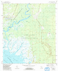
2018 East Pass
Levy County, FL
2018 Lebanon Station
Levy County, FL
2018 Manatee Springs
Levy County, FL
2018 Newberry SW
Levy County, FL
2018 Seahorse Key
Levy County, FL
2018 Sumner
Levy County, FL
2018 Tidewater
Levy County, FL
2018 Waccasassa Bay
Levy County, FL
2018 Withlacoochee Bay
Levy County, FL
2018 Yankeetown SE
Levy County, FL
2021 Bronson NE
Levy County, FL
2021 Bronson SE
Levy County, FL
2021 Bronson SW
Levy County, FL
2021 Chiefland SW
Levy County, FL

2021 East Pass
Levy County, FL
2021 Lebanon Station
Levy County, FL
2021 Manatee Springs
Levy County, FL
2021 Newberry SW
Levy County, FL
2021 Seahorse Key
Levy County, FL

2021 Sumner
Levy County, FL
2021 Tidewater
Levy County, FL
2021 Waccasassa Bay
Levy County, FL
2021 Withlacoochee Bay
Levy County, FL
2021 Yankeetown SE
Levy County, FL
2024 Bronson NE
Levy County, FL
2024 Bronson SE
Levy County, FL
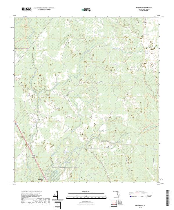
2024 Bronson SW
Levy County, FL
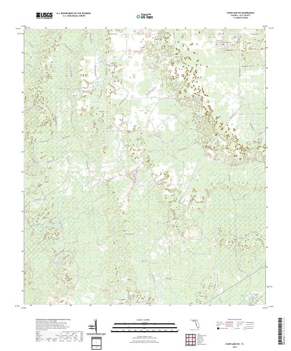
2024 Chiefland SW
Levy County, FL
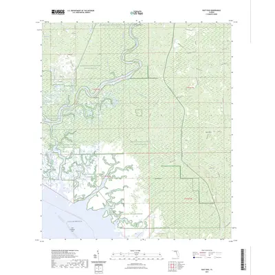
2024 East Pass
Levy County, FL

2024 Lebanon Station
Levy County, FL
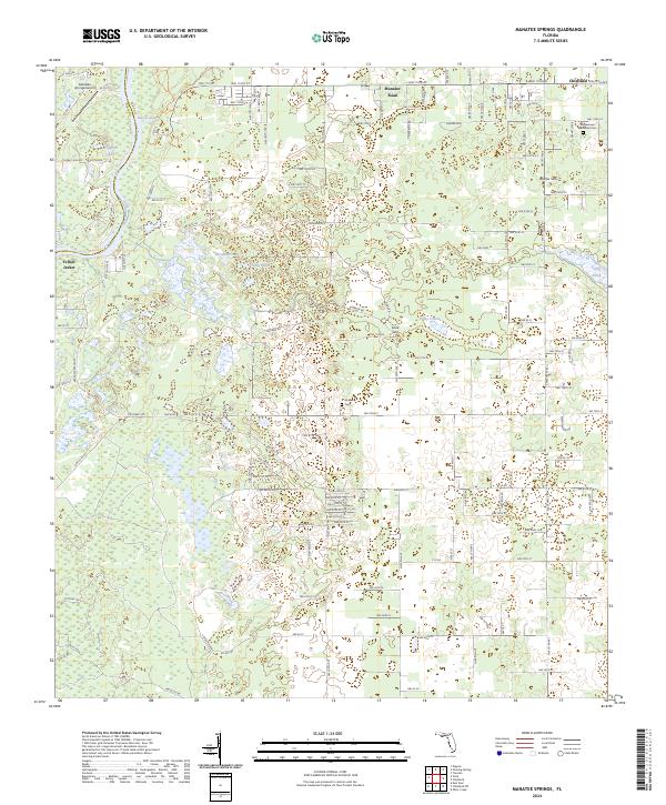
2024 Manatee Springs
Levy County, FL
2024 Newberry SW
Levy County, FL
2024 Seahorse Key
Levy County, FL
2024 Sumner
Levy County, FL
2024 Tidewater
Levy County, FL
2024 Waccasassa Bay
Levy County, FL
2024 Withlacoochee Bay
Levy County, FL
2024 Yankeetown SE
Levy County, FL
2025 East Pass
Levy County, FL
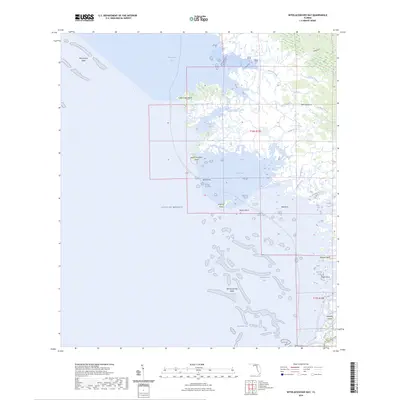
2025 Seahorse Key
Levy County, FL
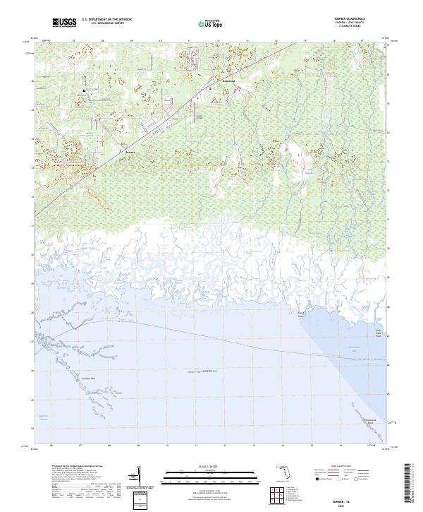
2025 Sumner
Levy County, FL
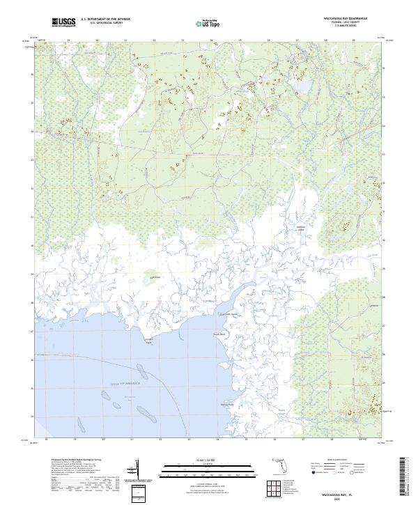
2025 Waccasassa Bay
Levy County, FL
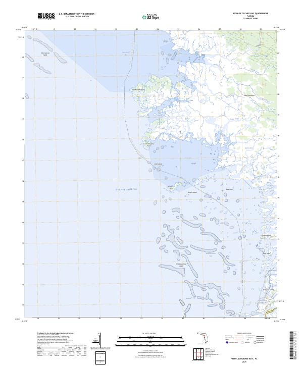
2025 Withlacoochee Bay
Levy County, FL