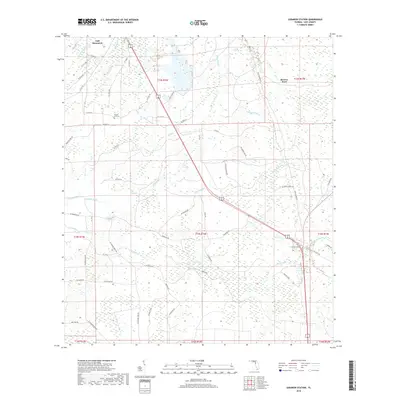
2018 Map of Lebanon Station
USGS Topo · Published 2018About this map
Lebanon Station and the surrounding pine flatwoods and cypress strands of Levy County are documented here in detail. The landscape is defined by its complex drainage network, where the Waccasassa River and Wekiva River meet in the northwestern corner, and numerous named sloughs and drains like Porter Slough and Cabbage Drain channel water through the wet hammocks. This area reflects a long history of resource extraction and local transit, notably at Beetree Ford, a named crossing point that suggests a time before extensive modern bridging. Rural life is anchored by the presence of the Mount Erie Cem near the center of the sheet and the small settlement at Gulf Hammock. The map traces the paths of local thoroughfares such as Fiber Factory Rd and Chamber Field Rd, which weave through the townships alongside more formal routes like Co Rd 326.
Find a feature on this map
70 named features on this map. Tap any name to fly to it.
Don’t see what you’re looking for? This feature index may not catch every label — zoom into the map to look around manually.
Map Details
Editions of this 2018 Lebanon Station Map
This is the sole edition of this map. No revisions or reprints were ever made.
Other maps of this area

1954 · Yankeetown SE
USGS Topo · 1:24,000

1954 · Otter Creek
USGS Topo · 1:24,000

1954 · Bronson SW
USGS Topo · 1:24,000

1954 · Gainesville
USGS Topo · 1:250,000

1955 · Lebanon Station
USGS Topo · 1:24,000

1955 · Withlacoochee Bay
USGS Topo · 1:24,000

1955 · Waccasassa Bay
USGS Topo · 1:24,000

1955 · Yankeetown
USGS Topo · 1:24,000

1955 · Tidewater
USGS Topo · 1:24,000

1955 · Bronson SE
USGS Topo · 1:24,000