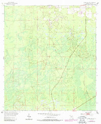
1954 Map of Chiefland SW
USGS Topo · Published 1988About this map
Gulf Hammock dominates this coastal lowland landscape of Levy County, where a dense network of wetlands and tidal drainage patterns is interrupted only by the narrow corridor of Sumner. The mapping reflects a region defined by its hydrology, showing the vast transition between terrestrial forest and the gulf marshlands. Small clusters of structures appear along the intersection of local routes 24 and 345, marking the modest footprint of human settlement in a territory otherwise governed by the tides and the swamp. Surveyed in the early 1950s with later updates, the sheet documents the sparse development of the Florida Gulf Coast before modern expansion, preserving the location of local landmarks and isolated homesteads that once served the logging and fishing interests of the area.
Find a feature on this map
5 named features on this map. Tap any name to fly to it.
Don’t see what you’re looking for? This feature index may not catch every label — zoom into the map to look around manually.
Map Details
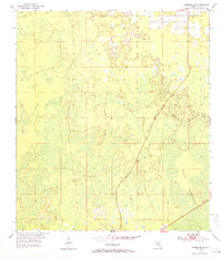
Editions of this 1954 Chiefland SW Map
3 editions found
Other maps of this area

1954 · Chiefland
USGS Topo · 1:24,000

1954 · Otter Creek
USGS Topo · 1:24,000

1954 · Manatee Springs
USGS Topo · 1:24,000

1954 · Chiefland SW
USGS Topo · 1:24,000

1954 · Vista
USGS Topo · 1:24,000

1954 · East Pass
USGS Topo · 1:24,000

1954 · Gainesville
USGS Topo · 1:250,000

1955 · Cedar Key
USGS Topo · 1:24,000

1955 · Waccasassa Bay
USGS Topo · 1:24,000

1955 · Sumner
USGS Topo · 1:24,000