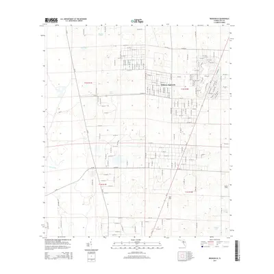
2015 Map of Bronson SE
USGS Topo · Published 2015About this map
Williston Highlands stands as the primary residential cluster in this corner of Levy County, characterized by a dense, rectilinear grid of residential streets like NE 20th St and NE 10th St. This mid-2010s survey reveals a landscape where organized development meets the natural karst topography of north-central Florida. To the south and west, the terrain transitions into a more hydrologically diverse area defined by named water bodies and depression features. Significant landmarks include the Redtail Airstrip near the eastern margin and Wolf Sink to the south, highlighting the region's unique drainage patterns. Scattered ponds like Sage Pond, Hog Pond, and Fivemile Pond dot the sections between major routes such as CR-337. The map documents the persistent expansion of rural residential planning into former timber or agricultural lands, noted by the extensive network of platted roads extending far beyond the main settlement.
Find a feature on this map
65 named features on this map. Tap any name to fly to it.
Don’t see what you’re looking for? This feature index may not catch every label — zoom into the map to look around manually.
Map Details
Editions of this 2015 Bronson SE Map
This is the sole edition of this map. No revisions or reprints were ever made.
Other maps of this area

1892 · Dunnellon
USGS Topo · 1:62,500

1894 · Dunnellon
USGS Topo · 1:62,500

1895 · Williston
USGS Topo · 1:62,500

1954 · Romeo
USGS Topo · 1:24,000

1954 · Bronson
USGS Topo · 1:24,000

1954 · Bronson SW
USGS Topo · 1:24,000

1954 · Dunnellon
USGS Topo · 1:62,500

1954 · Gainesville
USGS Topo · 1:250,000

1955 · Lebanon Station
USGS Topo · 1:24,000

1955 · Tidewater
USGS Topo · 1:24,000