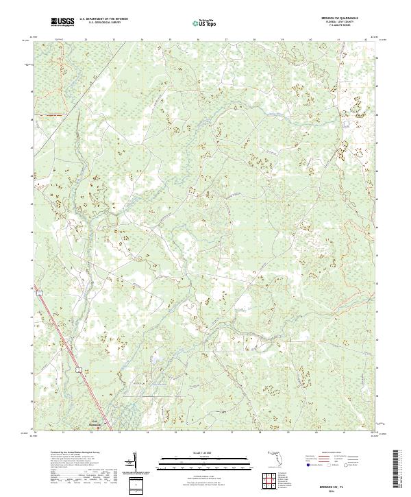
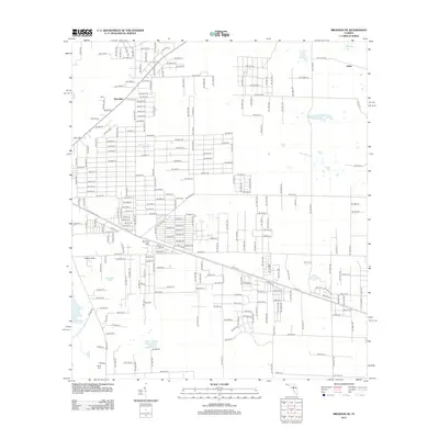
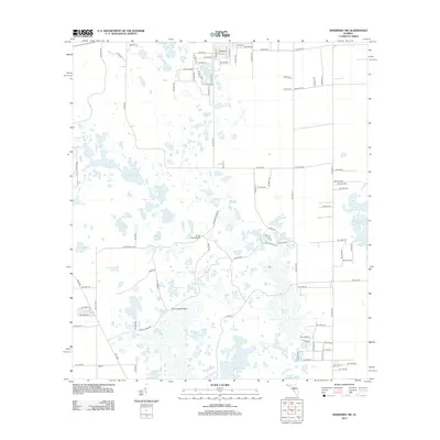
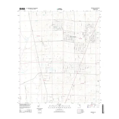
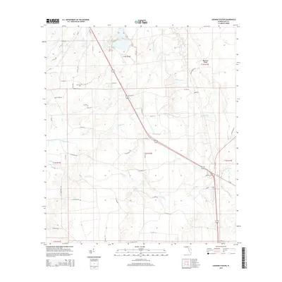
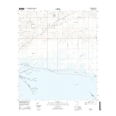
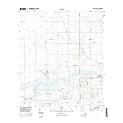
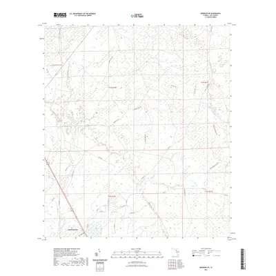
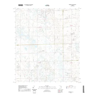
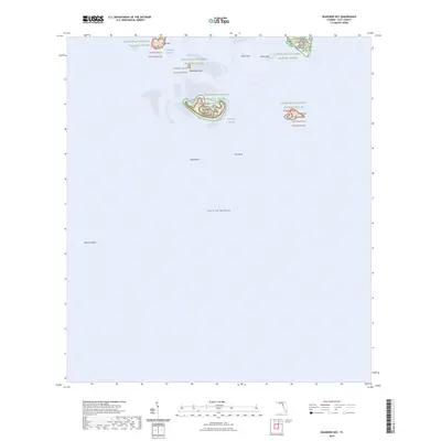
2024 Map of Bronson SW
USGS Topo · Published 2024About this map
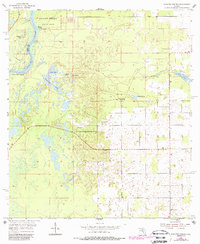
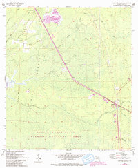
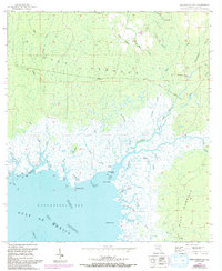
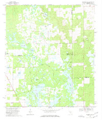
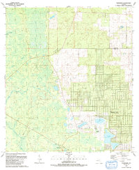
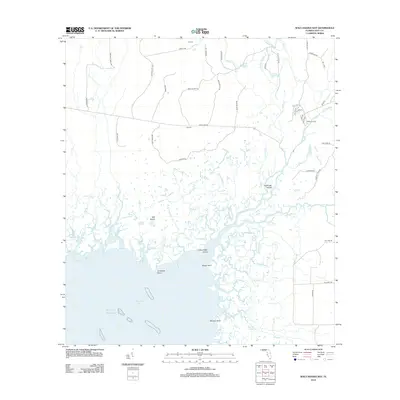
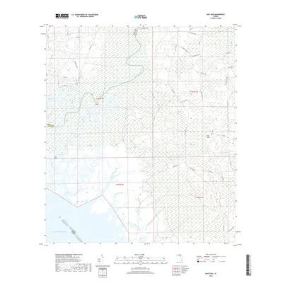
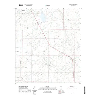
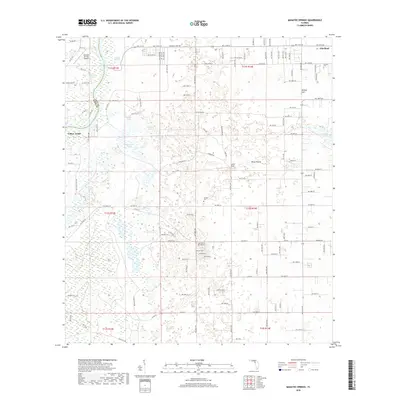
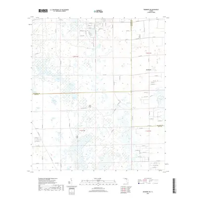
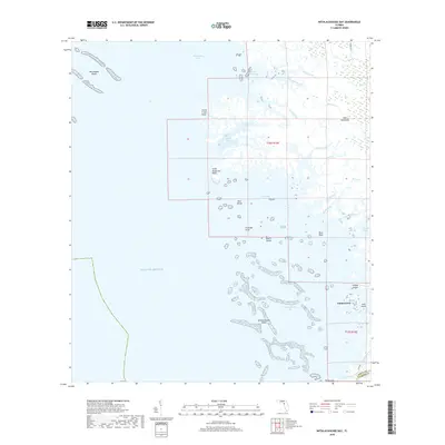
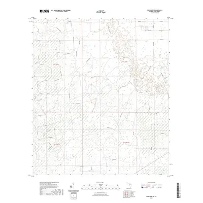
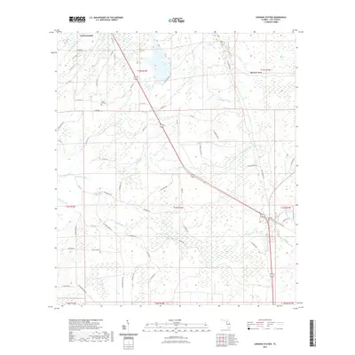
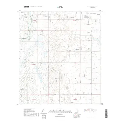
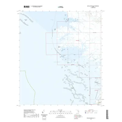
Gulf Hammock serves as the primary focal point of this coastal Florida landscape, where the dense hydrology of Levy County is on full display. The Waccasassa River and Wekiva River dominate the drainage pattern, supplemented by numerous smaller tributaries like Magee Branch and Mule Creek. This area is characterized by its network of rural and forestry-related paths, such as Devils Hammock Trl and the Goethe State Forest Trl. A complex system of numbered and named local roads, including Old Lebanon Rd and Cow Creek Rd, reveals the interior land use patterns typical of the Gulf Coast region. The nomenclature of features like Flowing Well Rd and Sawdust Pile Rd hints at the historic timber and water management activities that have long defined this portion of the Florida panhandle's southern reach.
Find a feature on this map
38 named features on this map. Tap any name to fly to it.
Don’t see what you’re looking for? This feature index may not catch every label — zoom into the map to look around manually.
Map Details
Editions of this 2024 Bronson SW Map
This is the sole edition of this map. No revisions or reprints were ever made.
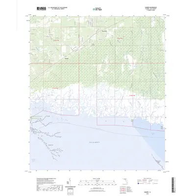
Historical Maps of Gulf Hammock Through Time
93 maps found
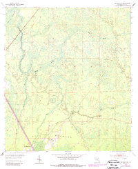
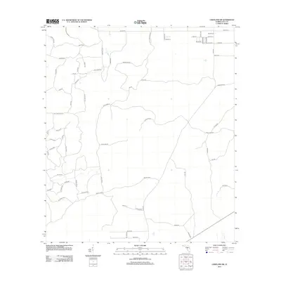
1954 Bronson SW
Levy County, FL
1954 Chiefland SW
Levy County, FL
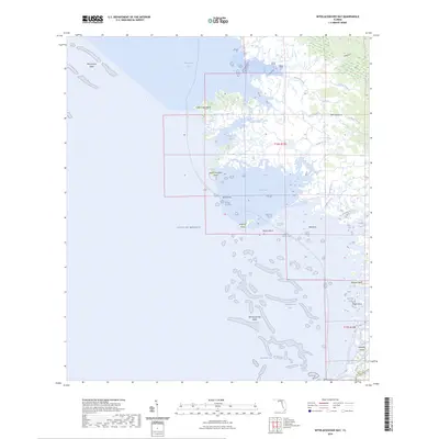
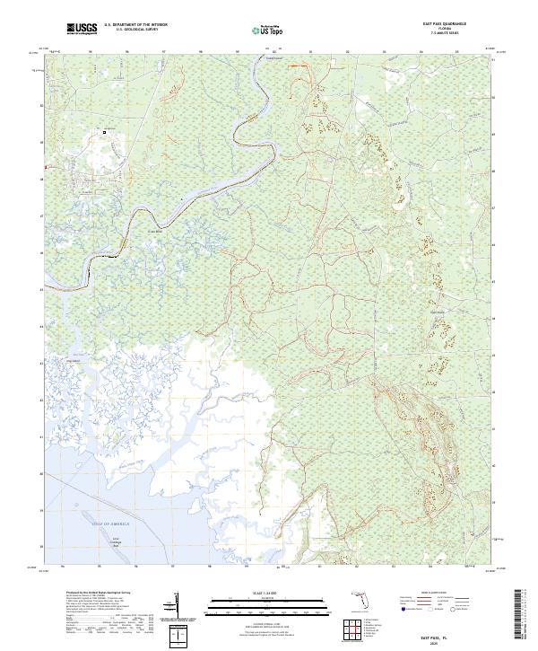
1954 East Pass
Levy County, FL
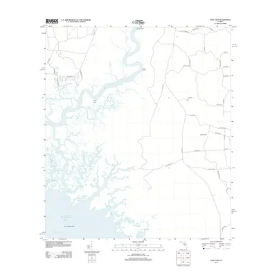
1954 Manatee Springs
Levy County, FL
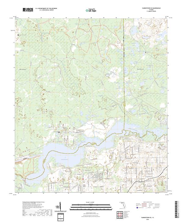
1954 Yankeetown SE
Levy County, FL
1955 Bronson NE
Levy County, FL
1955 Bronson SE
Levy County, FL
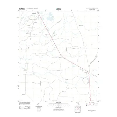
1955 Lebanon Station
Levy County, FL
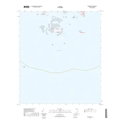
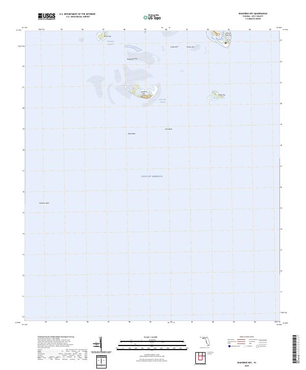
1955 Seahorse Key
Levy County, FL
1955 Sumner
Levy County, FL
1955 Tidewater
Levy County, FL
1955 Waccasassa Bay
Levy County, FL
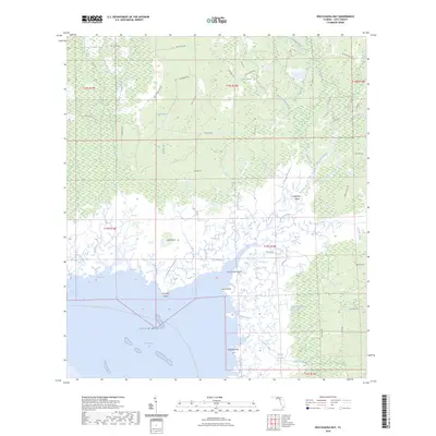
1955 Withlacoochee Bay
Levy County, FL
1957 Bronson SE
Levy County, FL
1968 Lebanon Station
Levy County, FL
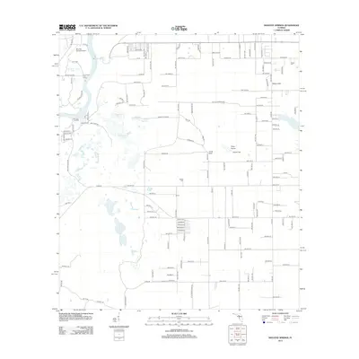
1968 Newberry SW
Levy County, FL
1991 Tidewater
Levy County, FL

1991 Yankeetown SE
Levy County, FL
2012 Bronson NE
Levy County, FL

2012 Bronson SE
Levy County, FL
2012 Bronson SW
Levy County, FL
2012 Chiefland SW
Levy County, FL
2012 East Pass
Levy County, FL
2012 Lebanon Station
Levy County, FL
2012 Manatee Springs
Levy County, FL
2012 Newberry SW
Levy County, FL
2012 Seahorse Key
Levy County, FL
2012 Sumner
Levy County, FL
2012 Tidewater
Levy County, FL
2012 Waccasassa Bay
Levy County, FL
2012 Withlacoochee Bay
Levy County, FL
2012 Yankeetown SE
Levy County, FL
2015 Bronson NE
Levy County, FL
2015 Bronson SE
Levy County, FL
2015 Bronson SW
Levy County, FL
2015 Chiefland SW
Levy County, FL
2015 East Pass
Levy County, FL
2015 Lebanon Station
Levy County, FL
2015 Manatee Springs
Levy County, FL
2015 Newberry SW
Levy County, FL
2015 Seahorse Key
Levy County, FL
2015 Sumner
Levy County, FL
2015 Tidewater
Levy County, FL
2015 Waccasassa Bay
Levy County, FL
2015 Withlacoochee Bay
Levy County, FL
2015 Yankeetown SE
Levy County, FL
2018 Bronson NE
Levy County, FL

2018 Bronson SE
Levy County, FL
2018 Bronson SW
Levy County, FL
2018 Chiefland SW
Levy County, FL
2018 East Pass
Levy County, FL
2018 Lebanon Station
Levy County, FL
2018 Manatee Springs
Levy County, FL
2018 Newberry SW
Levy County, FL
2018 Seahorse Key
Levy County, FL
2018 Sumner
Levy County, FL
2018 Tidewater
Levy County, FL
2018 Waccasassa Bay
Levy County, FL
2018 Withlacoochee Bay
Levy County, FL
2018 Yankeetown SE
Levy County, FL
2021 Bronson NE
Levy County, FL
2021 Bronson SE
Levy County, FL
2021 Bronson SW
Levy County, FL
2021 Chiefland SW
Levy County, FL

2021 East Pass
Levy County, FL
2021 Lebanon Station
Levy County, FL
2021 Manatee Springs
Levy County, FL
2021 Newberry SW
Levy County, FL
2021 Seahorse Key
Levy County, FL

2021 Sumner
Levy County, FL
2021 Tidewater
Levy County, FL
2021 Waccasassa Bay
Levy County, FL
2021 Withlacoochee Bay
Levy County, FL
2021 Yankeetown SE
Levy County, FL
2024 Bronson NE
Levy County, FL
2024 Bronson SE
Levy County, FL
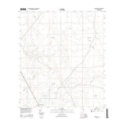
2024 Bronson SW
Levy County, FL
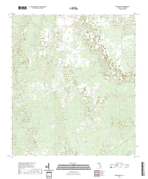
2024 Chiefland SW
Levy County, FL
2024 East Pass
Levy County, FL

2024 Lebanon Station
Levy County, FL
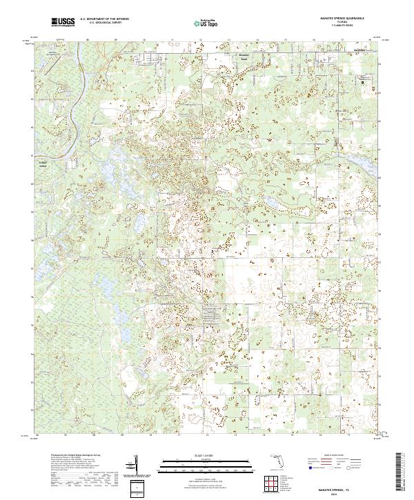
2024 Manatee Springs
Levy County, FL
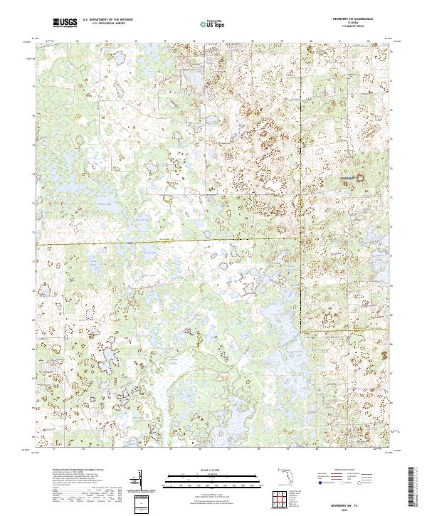
2024 Newberry SW
Levy County, FL
2024 Seahorse Key
Levy County, FL
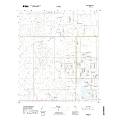
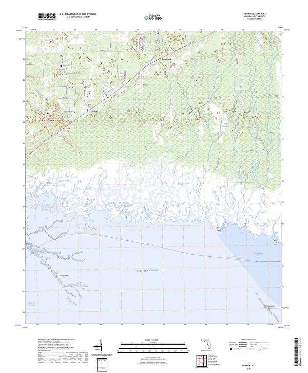
2024 Sumner
Levy County, FL
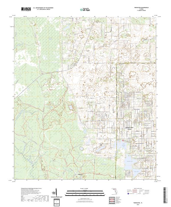
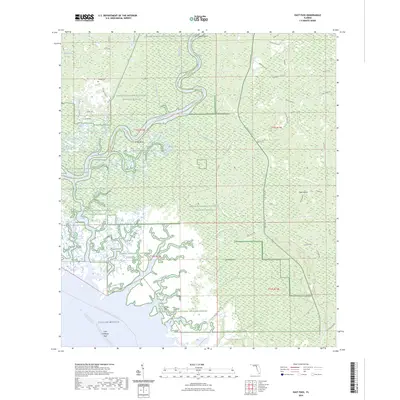
2024 Tidewater
Levy County, FL
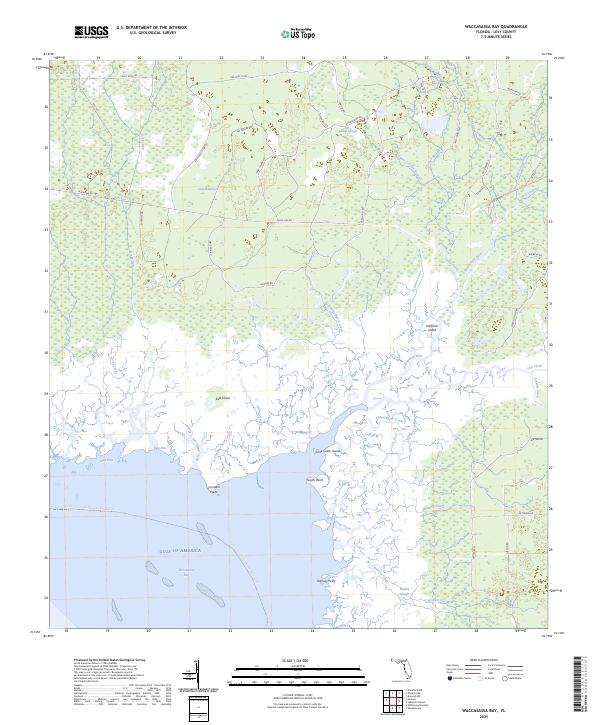
2024 Waccasassa Bay
Levy County, FL
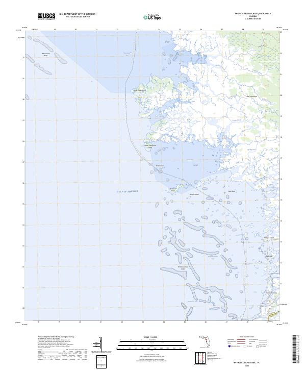
2024 Withlacoochee Bay
Levy County, FL
2024 Yankeetown SE
Levy County, FL
2025 East Pass
Levy County, FL
2025 Seahorse Key
Levy County, FL
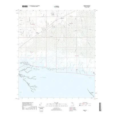
2025 Sumner
Levy County, FL
2025 Waccasassa Bay
Levy County, FL
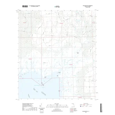
2025 Withlacoochee Bay
Levy County, FL