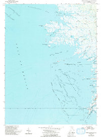
1955 Map of Withlacoochee Bay
USGS Topo · Published 1992About this map
Port Inglis stands at the southern edge of this coastal survey where the Withlacoochee R meets the Gulf, marking a historically significant maritime transition for Citrus and Levy Counties. The landscape is defined by the intricate labyrinth of the Gulf Hammock, where numerous freshwater streams like Tooke Creek and Lows Creek thread through tidal marshlands before reaching Withlacoochee Bay. These waterways are punctuated by small settlements and outposts, including Pitts Camp and TFD Camp, reflecting the area's history of hunting, fishing, and timber harvesting.
Find a feature on this map
48 named features on this map. Tap any name to fly to it.
Don’t see what you’re looking for? This feature index may not catch every label — zoom into the map to look around manually.
Map Details
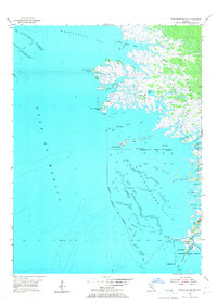
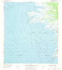
Editions of this 1955 Withlacoochee Bay Map
4 editions found
Other maps of this area

1954 · Red Level
USGS Topo · 1:24,000

1954 · Gainesville
USGS Topo · 1:250,000

1955 · Lebanon Station
USGS Topo · 1:24,000

1955 · Withlacoochee Bay
USGS Topo · 1:24,000

1955 · Waccasassa Bay
USGS Topo · 1:24,000

1955 · Yankeetown
USGS Topo · 1:24,000

1955 · Sumner
USGS Topo · 1:24,000

1955 · Plant City
USGS Topo · 1:250,000

1958 · Plant City
USGS Topo · 1:250,000

1958 · Gainesville
USGS Topo · 1:250,000