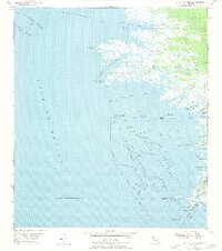
1955 Map of Withlacoochee Bay
USGS Topo · Published 1977About this map
Withlacoochee Bay and the surrounding coastal marshlands of Levy County dominate this mid-century coastal survey. The map records a complex hydrologic landscape where the Gulf Hammock meets the Gulf of Mexico, defined by a labyrinth of tidal creeks such as Thousandmile Cr, Sandfly Cr, and Tooke Creek. Toward the southern boundary, the Withlacoochee R empties into the bay, anchoring the maritime activity at Port Inglis. This port, alongside the Yankeetown line, highlights the era's navigation through Bungalow Pass and East Pass. Landward, small outposts like Pitts Camp and TFD Camp suggest the remote fishing and hunting character of the region. The map also meticulously charts hazardous marine features, including the Waccasassa Reefs and Withlacoochee Reefs, essential for understanding the historical coastal geography of this stretch of the Florida panhandle.
Find a feature on this map
47 named features on this map. Tap any name to fly to it.
Don’t see what you’re looking for? This feature index may not catch every label — zoom into the map to look around manually.
Map Details
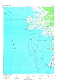
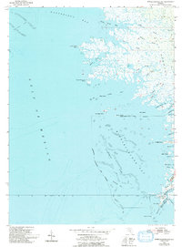
Editions of this 1955 Withlacoochee Bay Map
4 editions found
Other maps of this area

1954 · Red Level
USGS Topo · 1:24,000

1954 · Gainesville
USGS Topo · 1:250,000

1955 · Lebanon Station
USGS Topo · 1:24,000

1955 · Withlacoochee Bay
USGS Topo · 1:24,000

1955 · Waccasassa Bay
USGS Topo · 1:24,000

1955 · Yankeetown
USGS Topo · 1:24,000

1955 · Sumner
USGS Topo · 1:24,000

1955 · Plant City
USGS Topo · 1:250,000

1958 · Plant City
USGS Topo · 1:250,000

1958 · Gainesville
USGS Topo · 1:250,000