2025 Map of Seahorse Key
USGS Topo · Published 2025About this map
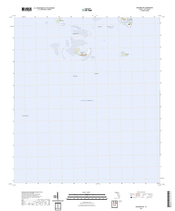
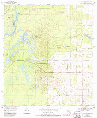
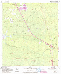
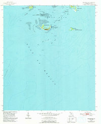
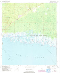
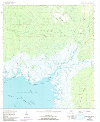
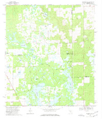
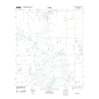
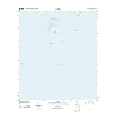
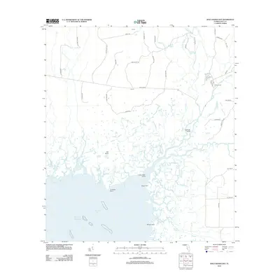
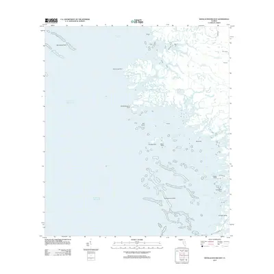
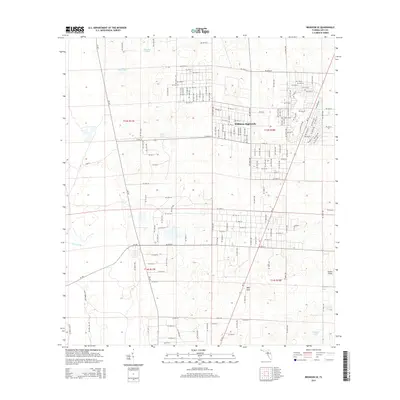
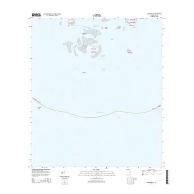
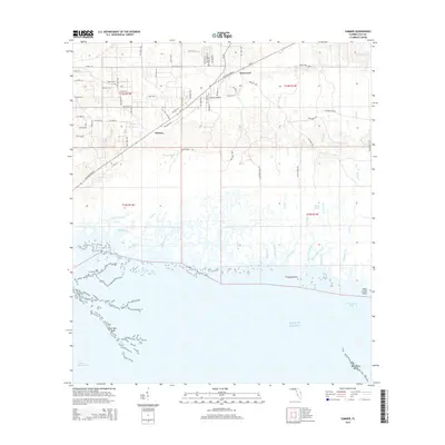
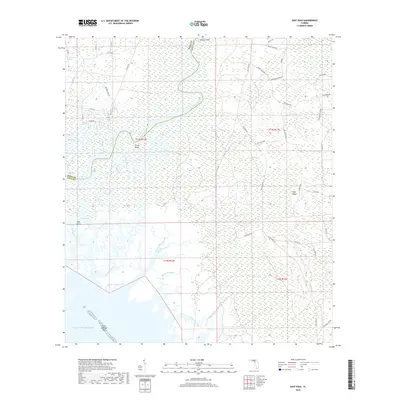
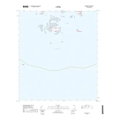
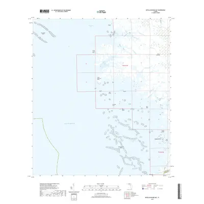
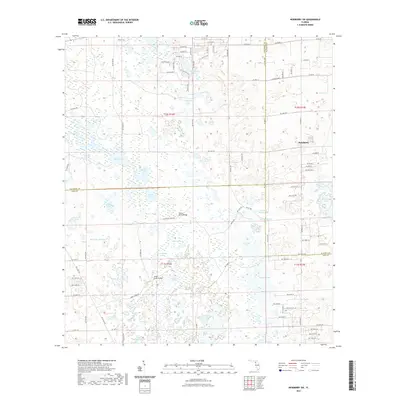
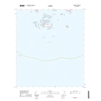
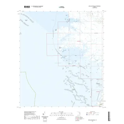
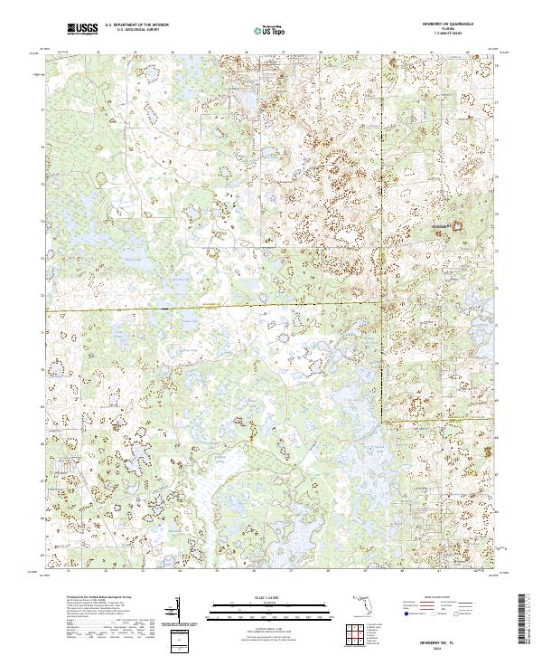
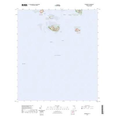
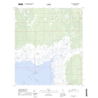
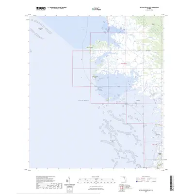
Atsena Otie Key and the surrounding island cluster anchor this coastal survey of the Cedar Keys archipelago. The map documents a landscape defined by tidal shifts and maritime passage, centered on the Main Ship Channel and the protective sweep of Seahorse Reef. For historians and genealogists, the presence of the Atsena Otie Cem on its namesake island provides a critical point of reference for the region's early settlement history. The archipelago extends through a series of significant landforms including North Key, Deadmans Key, and Snake Key, separated by navigable waters like Deadmans Channel. This contemporary survey by the U.S. Geological Survey captures the intricate relationship between the low-lying keys and the Gulf of America, tracing the shoals of the West Bank and East Bank that have dictated navigation in these waters for generations.
Find a feature on this map
14 named features on this map. Tap any name to fly to it.
Don’t see what you’re looking for? This feature index may not catch every label — zoom into the map to look around manually.
Map Details
Editions of this 2025 Seahorse Key Map
This is the sole edition of this map. No revisions or reprints were ever made.
Historical Maps of Levy County Through Time
93 maps found
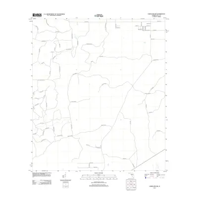
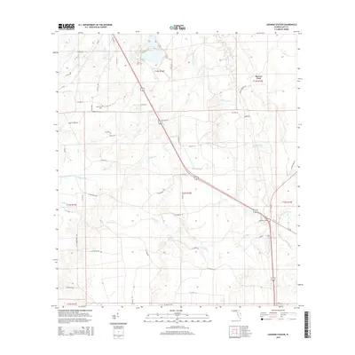
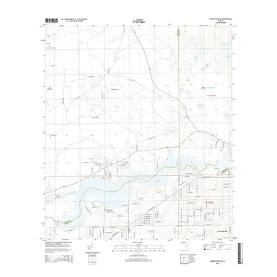
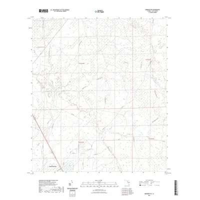
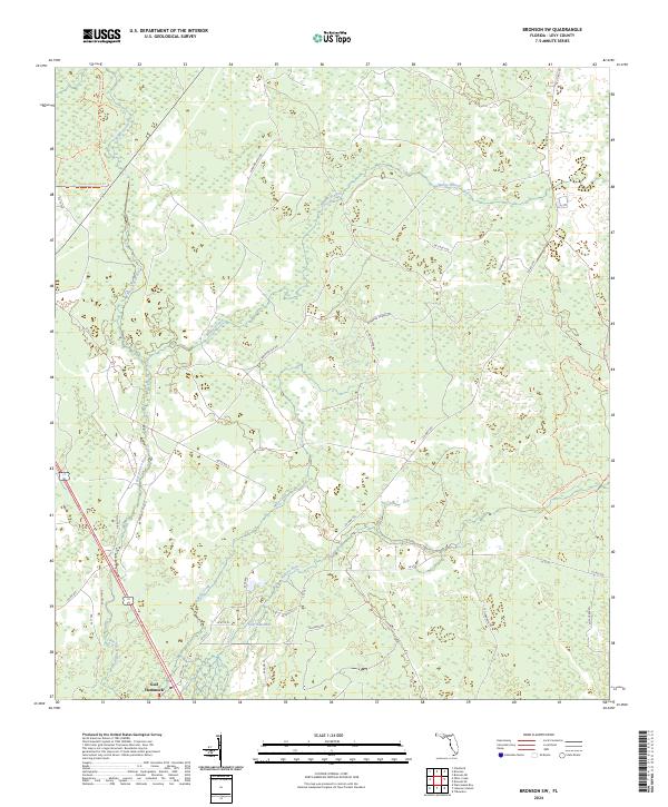
1954 Bronson SW
Levy County, FL
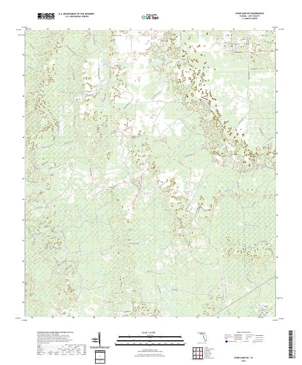
1954 Chiefland SW
Levy County, FL
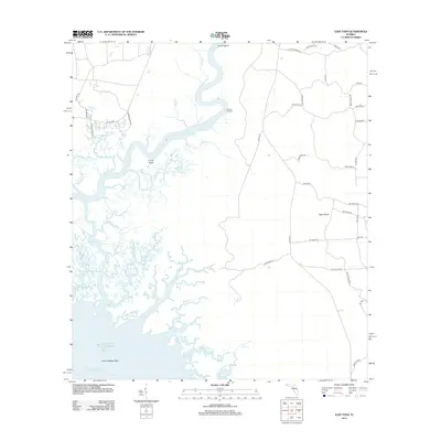
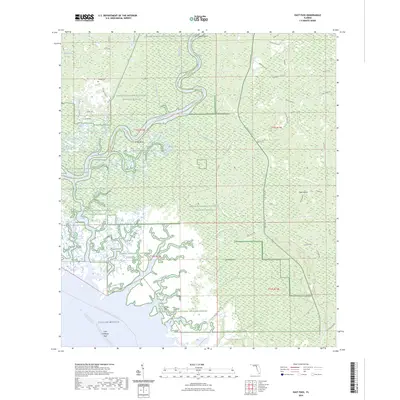
1954 East Pass
Levy County, FL
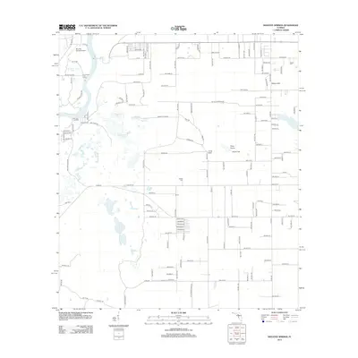
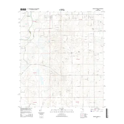
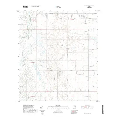
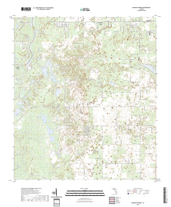
1954 Manatee Springs
Levy County, FL
1954 Yankeetown SE
Levy County, FL
1955 Bronson NE
Levy County, FL
1955 Bronson SE
Levy County, FL
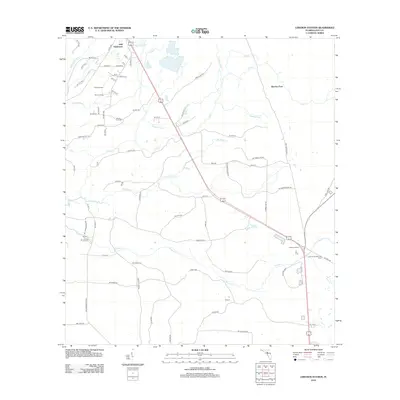
1955 Lebanon Station
Levy County, FL
1955 Seahorse Key
Levy County, FL
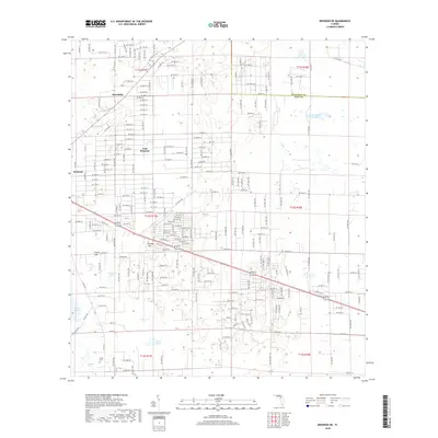
1955 Sumner
Levy County, FL
1955 Tidewater
Levy County, FL
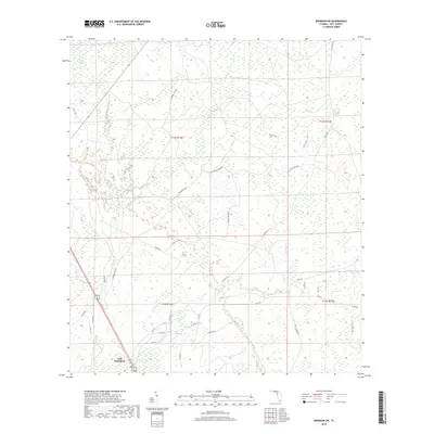
1955 Waccasassa Bay
Levy County, FL
1955 Withlacoochee Bay
Levy County, FL
1957 Bronson SE
Levy County, FL
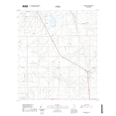
1968 Lebanon Station
Levy County, FL
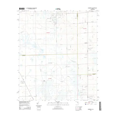
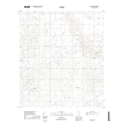
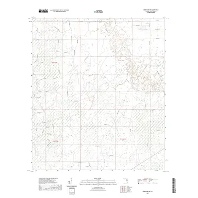
1968 Newberry SW
Levy County, FL
1991 Tidewater
Levy County, FL

1991 Yankeetown SE
Levy County, FL
2012 Bronson NE
Levy County, FL

2012 Bronson SE
Levy County, FL
2012 Bronson SW
Levy County, FL
2012 Chiefland SW
Levy County, FL
2012 East Pass
Levy County, FL
2012 Lebanon Station
Levy County, FL
2012 Manatee Springs
Levy County, FL
2012 Newberry SW
Levy County, FL
2012 Seahorse Key
Levy County, FL
2012 Sumner
Levy County, FL
2012 Tidewater
Levy County, FL
2012 Waccasassa Bay
Levy County, FL
2012 Withlacoochee Bay
Levy County, FL
2012 Yankeetown SE
Levy County, FL
2015 Bronson NE
Levy County, FL
2015 Bronson SE
Levy County, FL
2015 Bronson SW
Levy County, FL
2015 Chiefland SW
Levy County, FL
2015 East Pass
Levy County, FL
2015 Lebanon Station
Levy County, FL
2015 Manatee Springs
Levy County, FL
2015 Newberry SW
Levy County, FL
2015 Seahorse Key
Levy County, FL
2015 Sumner
Levy County, FL
2015 Tidewater
Levy County, FL
2015 Waccasassa Bay
Levy County, FL
2015 Withlacoochee Bay
Levy County, FL
2015 Yankeetown SE
Levy County, FL
2018 Bronson NE
Levy County, FL

2018 Bronson SE
Levy County, FL
2018 Bronson SW
Levy County, FL
2018 Chiefland SW
Levy County, FL
2018 East Pass
Levy County, FL
2018 Lebanon Station
Levy County, FL
2018 Manatee Springs
Levy County, FL
2018 Newberry SW
Levy County, FL
2018 Seahorse Key
Levy County, FL
2018 Sumner
Levy County, FL
2018 Tidewater
Levy County, FL
2018 Waccasassa Bay
Levy County, FL
2018 Withlacoochee Bay
Levy County, FL
2018 Yankeetown SE
Levy County, FL
2021 Bronson NE
Levy County, FL
2021 Bronson SE
Levy County, FL
2021 Bronson SW
Levy County, FL
2021 Chiefland SW
Levy County, FL

2021 East Pass
Levy County, FL
2021 Lebanon Station
Levy County, FL
2021 Manatee Springs
Levy County, FL
2021 Newberry SW
Levy County, FL
2021 Seahorse Key
Levy County, FL

2021 Sumner
Levy County, FL
2021 Tidewater
Levy County, FL
2021 Waccasassa Bay
Levy County, FL
2021 Withlacoochee Bay
Levy County, FL
2021 Yankeetown SE
Levy County, FL
2024 Bronson NE
Levy County, FL
2024 Bronson SE
Levy County, FL
2024 Bronson SW
Levy County, FL
2024 Chiefland SW
Levy County, FL
2024 East Pass
Levy County, FL

2024 Lebanon Station
Levy County, FL
2024 Manatee Springs
Levy County, FL
2024 Newberry SW
Levy County, FL
2024 Seahorse Key
Levy County, FL
2024 Sumner
Levy County, FL
2024 Tidewater
Levy County, FL
2024 Waccasassa Bay
Levy County, FL
2024 Withlacoochee Bay
Levy County, FL
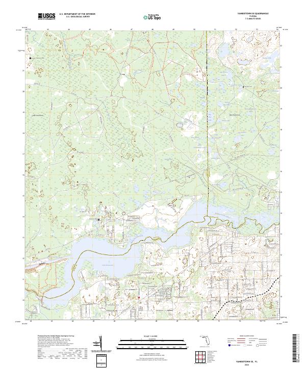
2024 Yankeetown SE
Levy County, FL
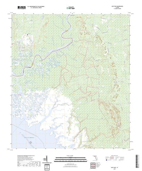
2025 East Pass
Levy County, FL
2025 Seahorse Key
Levy County, FL
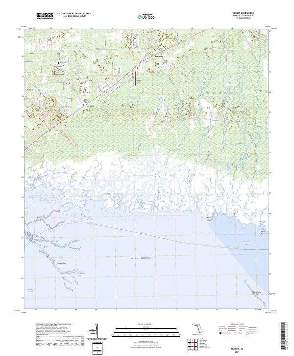
2025 Sumner
Levy County, FL
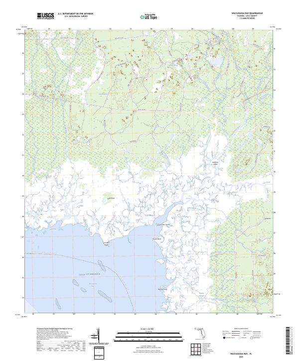
2025 Waccasassa Bay
Levy County, FL
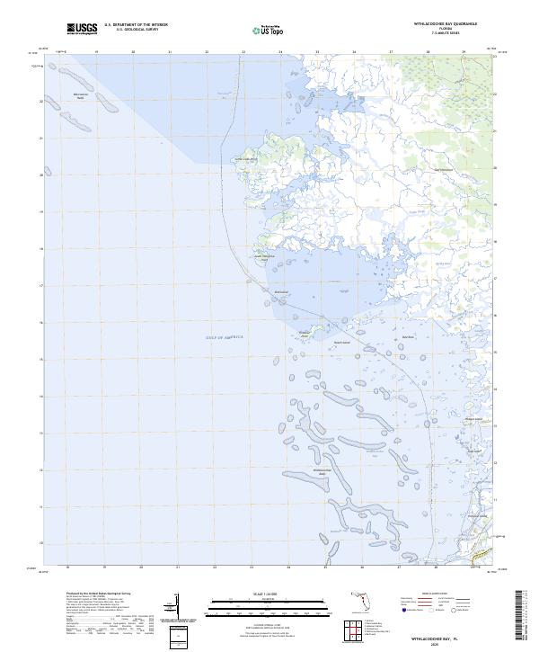
2025 Withlacoochee Bay
Levy County, FL